The best cycling routes in Godinger Wald
4.6
(400)
4,662
riders
199
rides
Touring cycling in Godinger Wald, a low mountain range in South Lower Saxony, Germany, offers diverse landscapes for cyclists. The region is characterized by extensive, rich forests and is part of the Göttingen-Northeim Forest. Several streams and rivers, including the Lutter, Rodebach, Suhle, and Weende, flow through or originate within the area. The highest point, Mackeneröder Spitze, reaches an elevation of 427.5 meters above sea level.
Best touring cycling routes in Godinger Wald
- The most popular touring cycling route is…
Last updated: June 26, 2026
3.5
(2)
7
riders
54.5km
04:03
890m
890m
Hard bike ride. Very good fitness required. Mostly paved surfaces. Suitable for all skill levels.
5.0
(2)
7
riders
23.6km
01:39
310m
320m
Moderate bike ride. Good fitness required. Mostly paved surfaces. Suitable for all skill levels.

Sign up for free
4.0
(2)
3
riders
23.9km
01:29
240m
240m
Moderate bike ride. Good fitness required. Mostly paved surfaces. Suitable for all skill levels.
12
riders
42.7km
03:47
1,230m
1,230m
Hard bike ride. Very good fitness required. Mostly paved surfaces. Suitable for all skill levels.
10
riders
21.7km
01:24
220m
220m
Moderate bike ride. Good fitness required. Mostly paved surfaces. Suitable for all skill levels.
Get access to more routes and recommendations from other explorers.
Sign up for free
Already have an account?
Our route recommendations are based on thousands of hikes, rides, and runs completed by other people on komoot.
Start today with a free account
Your next adventure awaits.
Login or Signup
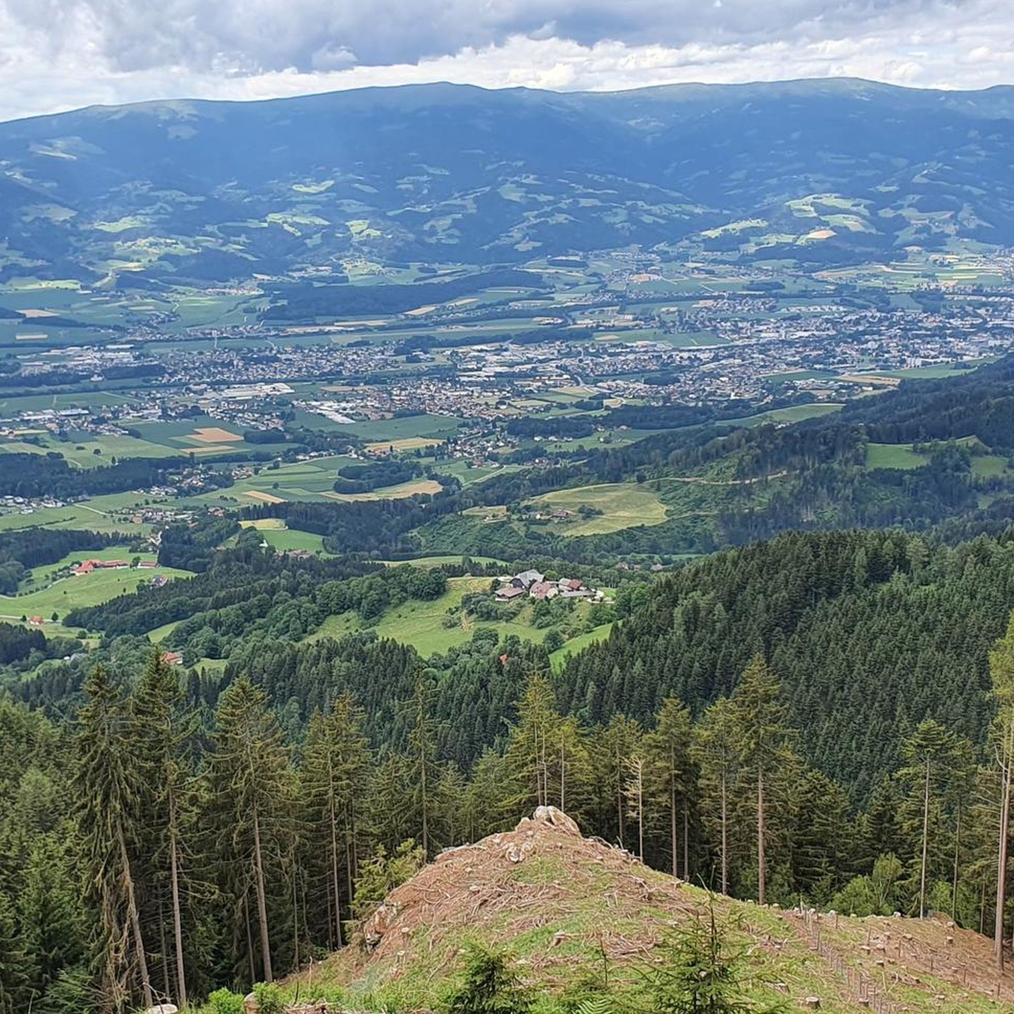
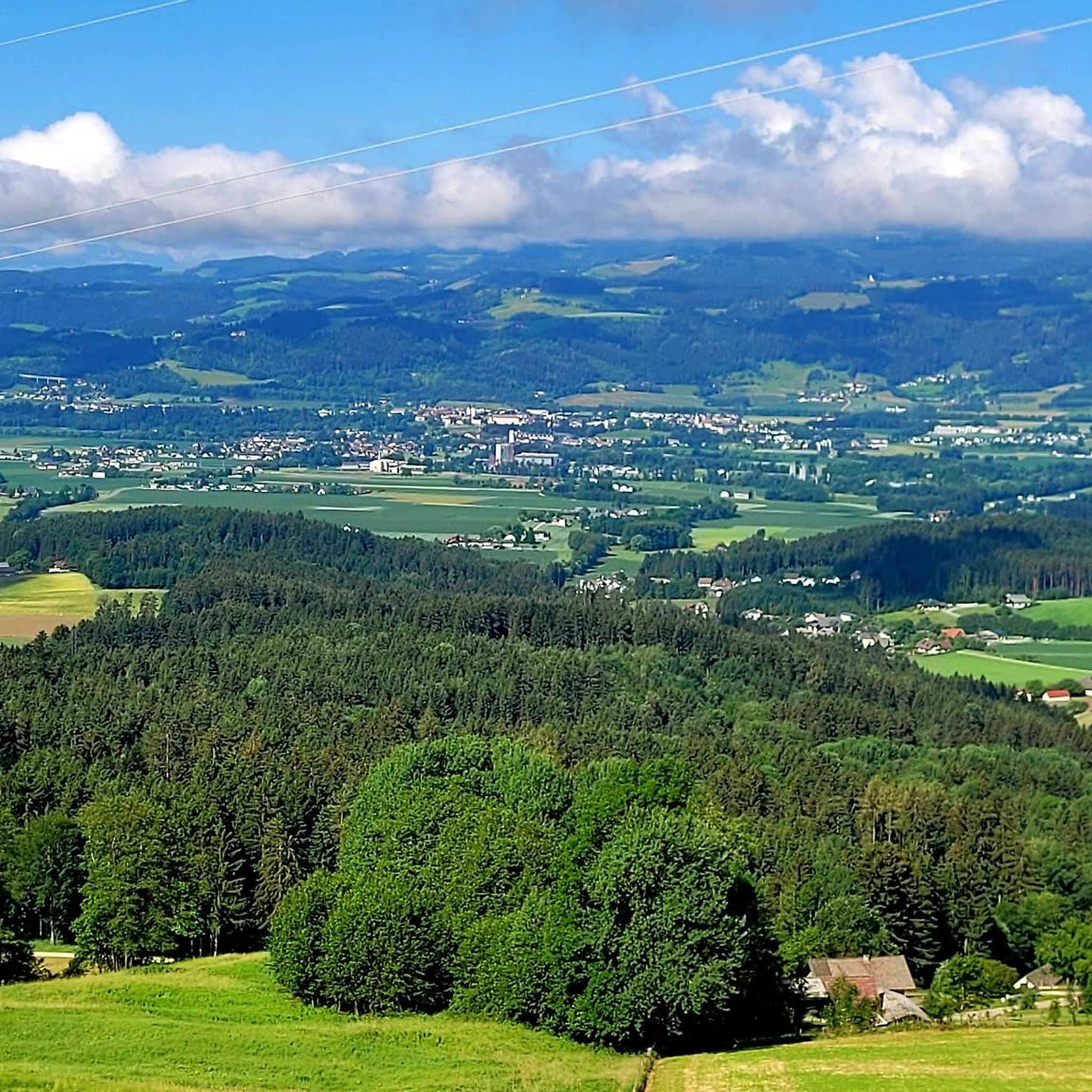
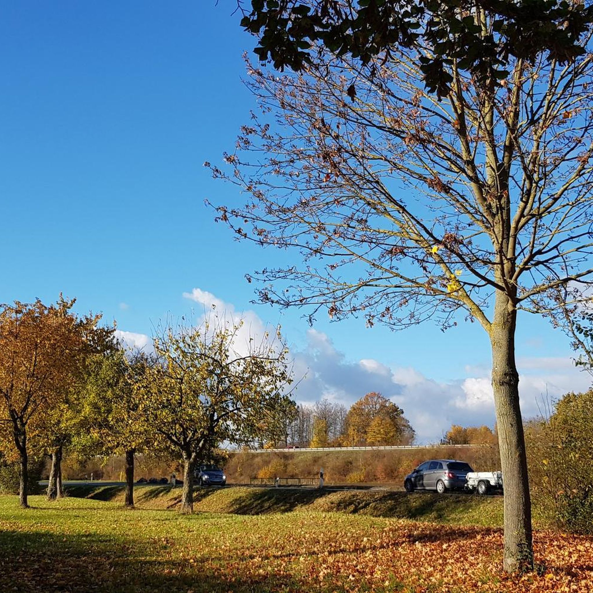
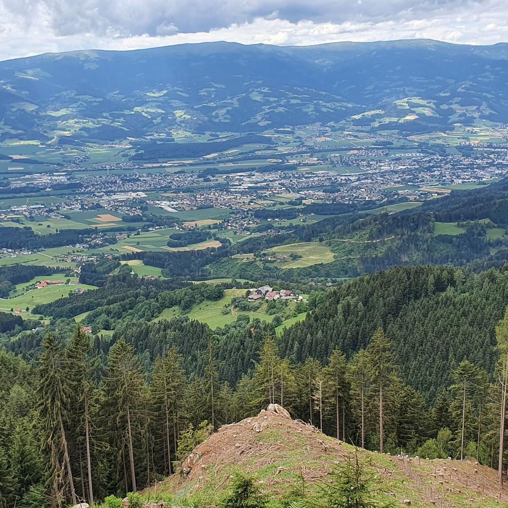
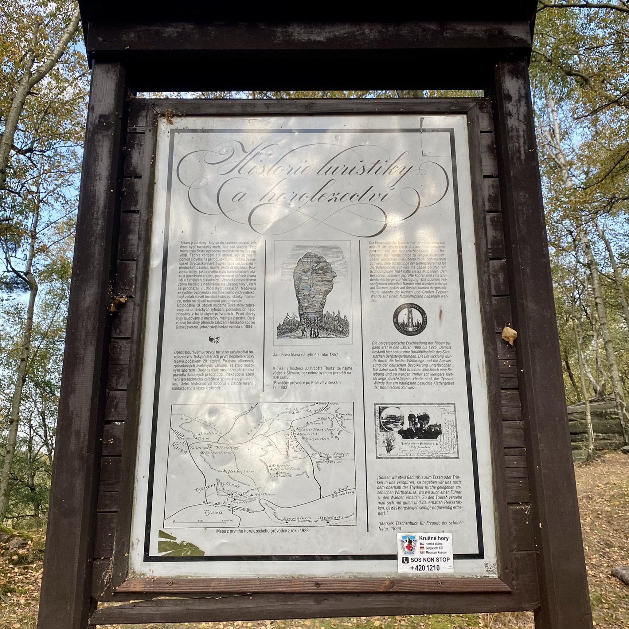
Tips from the Community

Access via Jakling (cemetery) or Mosern
0
0
Model airport between Jakling and Mosern
0
0

The route invites numerous bike-friendly inns for refreshment, as well as beautiful rest stops for a break, to enjoy the idyllic tranquility and observe nature.
0
0
Open May 1 to October 31, 2026 Wednesday to Sunday from 10:00 to 17:00 Closed Mondays and Tuesdays!
0
0


The St. Paul's Abbey in the Lavant Valley is a Benedictine monastery in Lower Carinthia founded in 1091. Its buildings stand on a rocky peak at the transition from the middle to the lower Lavant Valley above the main town of the Carinthian market town of the same name. The buildings that exist today were mostly built in the 17th century. The abbey church, a Romanesque pillar basilica that was probably completed in the early 13th century, is even older.
1
0
Frequently Asked Questions
How many touring cycling routes are available in Godinger Wald?
Godinger Wald offers a wide selection of touring cycling routes, with over 200 options available. These routes cater to various skill levels, including easy, moderate, and challenging paths.
What kind of terrain can I expect on touring cycling routes in Godinger Wald?
The terrain in Godinger Wald is diverse, ranging from mostly paved surfaces suitable for easy rides to more challenging routes with unpaved and demanding segments. The region is characterized by extensive, dense forests and varied elevation, including the highest point, Mackeneröder Spitze, at 427.5 meters above sea level.
Are there family-friendly touring cycling routes in Godinger Wald?
Yes, Godinger Wald offers easy rides that are suitable for any fitness level, making them ideal for families. These routes often feature mostly paved surfaces, providing a comfortable experience for cyclists of all ages.
What are some natural features or landmarks I might encounter while cycling in Godinger Wald?
Cyclists can explore dense forests, protected natural areas, and several streams and rivers like the Lutter and Leine. Notable landmarks include the Bismarck Tower, offering panoramic views, the ruins of Gut Kerstlingerode, and the Wild Boar Enclosure at Kehr. You might also discover a fossil seabed from the Muschelkalkzeit period.
Are there any circular touring cycling routes in Godinger Wald?
Yes, many touring cycling routes in Godinger Wald are designed as loops, allowing you to start and end your journey at the same point. These circular routes often incorporate various landscapes and points of interest like the Bismarck Tower or the ruins of Gut Kerstlingerode.
What do other touring cyclists say about the routes in Godinger Wald?
The touring cycling routes in Godinger Wald are highly regarded by the komoot community, with an average rating of 4.6 out of 5 stars from over 379 reviews. Cyclists often praise the diverse landscapes, the immersive natural environment of the dense forests, and the variety of routes catering to different fitness levels.
Can I access touring cycling routes in Godinger Wald using public transport?
While specific public transport connections to trailheads are not detailed, Göttingen, the nearby city, is well-connected by public transport. It is advisable to check local bus or train schedules to find the most convenient access points to the Godinger Wald area for your cycling tour.
Are there places to stop for refreshments along the touring cycling routes?
Yes, some cycling routes in Godinger Wald pass by convenient spots for a break. For example, the Göttingen Beer Garden at Kehr is situated along certain routes and provides a pleasant place to stop for refreshments.
What is the best time of year to go touring cycling in Godinger Wald?
Godinger Wald offers beautiful scenery throughout the year. Spring and autumn provide pleasant temperatures and vibrant natural colors, while summer is ideal for longer days. Winter cycling is possible, but conditions may vary, especially on unpaved segments.
Are there any protected areas within Godinger Wald that cyclists should be aware of?
Yes, large sections of Godinger Wald are nationally protected, falling within the Fauna-Flora-Habitat "Göttinger Wald" and encompassing nature reserves such as "Göttinger Wald," "Stadtwald Göttingen und Kerstlingeröder Feld," and "Bratental." Cyclists should always stay on marked paths to respect these protected environments.
What is the overall difficulty level of touring cycling in Godinger Wald?
Godinger Wald offers a range of difficulties. You'll find easy rides with mostly paved surfaces, moderate routes with varied terrain, and challenging paths that require good to very good fitness, often including significant elevation gain and unpaved segments. With 47 easy, 55 moderate, and 101 difficult routes, there's something for every skill level.
Most popular routes in Godinger Wald

Get inspired with the komoot mobile app


Explore more
Browse the best Cycling routes in other regions.
