The best road cycling routes in Glauningwald
4.8
(86)
1,649
riders
134
rides
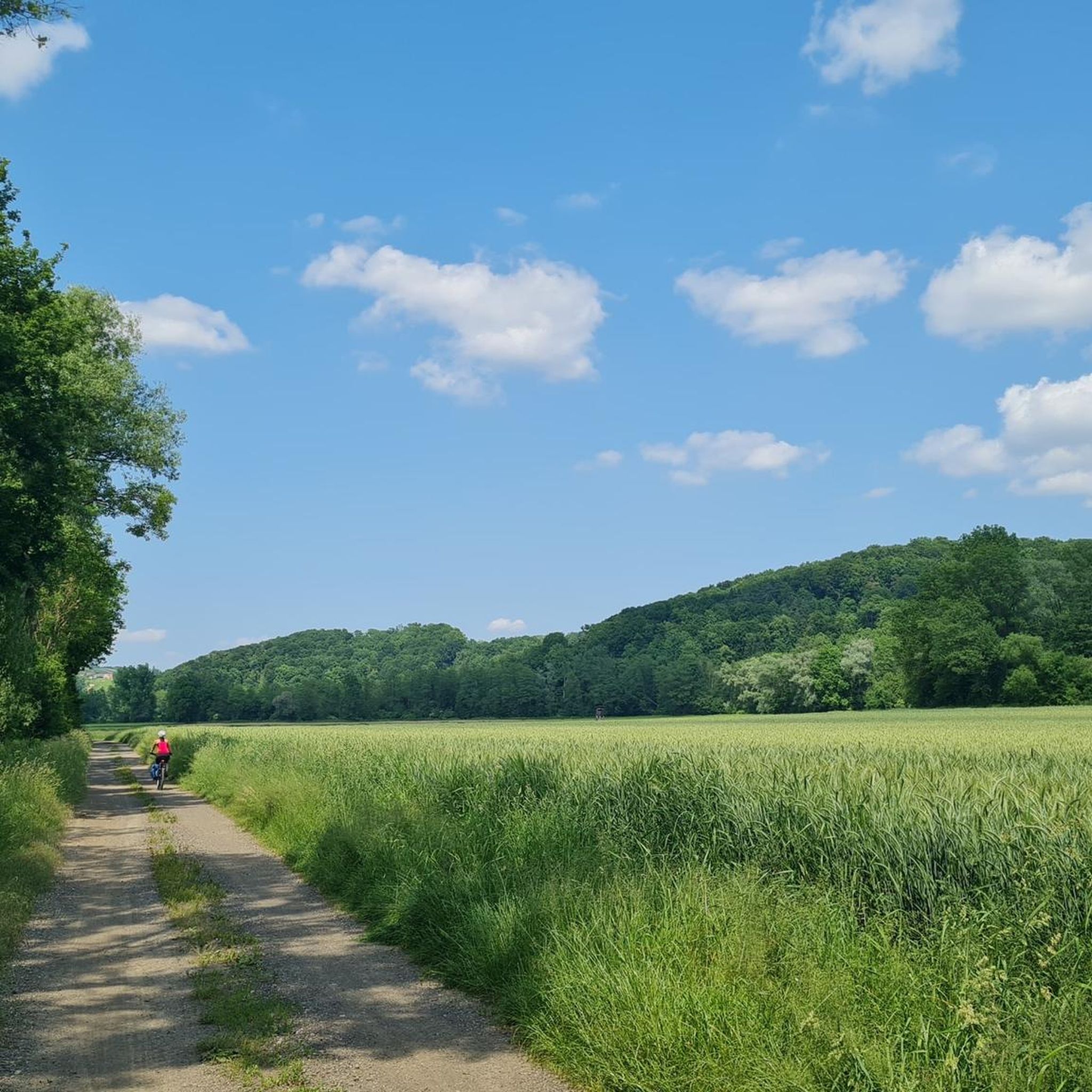
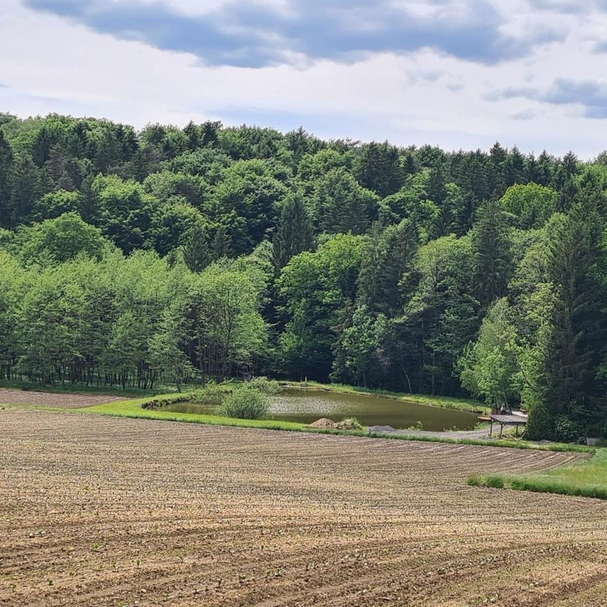
Road cycling in Glauningwald offers routes through a region characterized by dense forests, rolling hills, and river valleys in Südoststeiermark. The landscape features a mix of wooded areas and open agricultural land, providing varied scenery for road cyclists. Elevations are generally moderate, with some routes including gradual climbs and descents. The area is suitable for exploring on a road bike, with a network of routes connecting local towns and natural features.
Best road cycling routes in Glauningwald
- The most popular…
Last updated: July 5, 2026
29
riders
46.6km
02:07
340m
340m
Hard road ride. Good fitness required. You may need to push your bike for some segments of this route.
5.0
(1)
2
riders
35.7km
01:46
440m
440m
Moderate road ride. Good fitness required. Mostly well-paved surfaces and easy to ride.

Sign up for free
10
riders
85.5km
03:41
560m
560m
Moderate road ride. Good fitness required. Mostly well-paved surfaces and easy to ride.
6
riders
38.7km
02:08
330m
330m
Moderate road ride. Good fitness required. Some segments of this route may be unpaved and difficult to ride.
9
riders
46.4km
01:57
330m
330m
Moderate road ride. Good fitness required. Mostly well-paved surfaces and easy to ride.
Get access to more routes and recommendations from other explorers.
Sign up for free
Already have an account?
Our route recommendations are based on thousands of hikes, rides, and runs completed by other people on komoot.
Start today with a free account
Your next adventure awaits.
Login or Signup

Tips from the Community

Very nice place with 4 churches
0
0
One of the 4 churches of Straden.
0
0
One of the 4 churches of Straden.
0
0

Cyclist-friendly cafe, great breakfast
0
0

Beautiful route with great opportunities to stop for refreshments
4
0

Austria 🇦🇹 - Slovenia 🇸🇮 border
1
0
A super nice tour, lots of asphalt roads, but also gravel paths, partly along the Mur, great views, beautiful towns, good food, great lakes and ponds, a short ride on the Mur ferry (free), highly recommended
4
0
A super nice tour, lots of asphalt roads, but also gravel paths, partly along the Mur, great views, beautiful towns, good food, great lakes and ponds, a short ride on the Mur ferry (free), highly recommended
4
0
Frequently Asked Questions
How many road cycling routes are available in Glauningwald?
Glauningwald offers a wide selection of road cycling routes, with over 130 tours available. These routes cater to various skill levels, ensuring there's something for everyone.
Are there easy road cycling routes suitable for beginners in Glauningwald?
Yes, Glauningwald has over 30 easy road cycling routes perfect for beginners or those looking for a relaxed ride. An example of an easy route is the Röcksee – Hainsdorf Brunnsee loop from Gosdorf, which features minimal elevation gain.
What are the typical distances and elevations for road cycling routes in Glauningwald?
Routes in Glauningwald vary significantly. You can find shorter rides around 20-30 km with moderate elevation, such as the View of Straden – Ottersbachmühle loop from Ratschendorf (38.2 km with 307 m elevation gain). Longer routes, like the Gamlitz Town Center – Hop Fields in Leutschach loop from Gosdorf, can extend to over 85 km with around 560 m of climbing.
Are most road cycling routes in Glauningwald loops or point-to-point?
The majority of road cycling routes in Glauningwald are designed as loops, allowing you to start and finish at the same location. This is convenient for cyclists using personal vehicles. For example, the popular Röcksee – Mureck Border Bridge loop from Ratschendorf is a loop route.
When is the best time of year for road cycling in Glauningwald?
The best time for road cycling in Glauningwald is typically from spring to autumn (April to October). During these months, the weather is generally mild and pleasant, with less rainfall and comfortable temperatures for longer rides. Summer offers warmer conditions, while spring and autumn provide beautiful scenery with blooming nature or vibrant fall colors.
What kind of scenery can I expect on road cycling routes in Glauningwald?
Glauningwald's road cycling routes offer diverse scenery, characterized by dense forests, gentle rolling hills, and picturesque river valleys, particularly along the Mur River. You'll also pass through open agricultural land, vineyards, and charming local towns, providing a varied and engaging backdrop for your ride.
Are there challenging road cycling routes for experienced cyclists in Glauningwald?
Yes, experienced cyclists will find challenging routes in Glauningwald. There are 15 difficult routes available, featuring more significant elevation gains and longer distances. The Röcksee – Mureck Border Bridge loop from Ratschendorf, for instance, is classified as difficult with over 330 meters of climbing.
What do other road cyclists enjoy most about road cycling in Glauningwald?
The road cycling experience in Glauningwald is highly rated by the komoot community, with an average score of 4.7 stars from over 70 reviews. Cyclists often praise the varied terrain, the scenic views along the Mur River, and the well-maintained routes that connect charming towns and natural features.
Are there any specific points of interest or landmarks to look out for on the routes?
While specific landmarks vary by route, many tours in Glauningwald offer views of the region's natural beauty and cultural heritage. For example, the Ottersbachmühle – Poppendorf Castle loop from Gosdorf passes near Poppendorf Castle, offering a glimpse of historical architecture amidst the landscape.
Where can I find parking for road cycling routes in Glauningwald?
Parking is generally available in the starting towns of many routes, such as Ratschendorf or Gosdorf. Look for designated public parking areas within these villages, which often serve as convenient access points for the cycling network.
Are there options for refreshments or places to eat along the road cycling paths?
Yes, many road cycling routes in Glauningwald pass through or near local towns and villages where you can find cafes, traditional Gasthäuser (inns), and restaurants. These establishments offer opportunities to refuel and experience local cuisine, especially in areas known for wine production like near Gamlitz.
Most popular routes in Glauningwald

Get inspired with the komoot mobile app


Explore more
Browse the best Road cycling routes in other regions.
