The best MTB trails around Gompertshausen
4.7
(286)
749
riders
136
rides
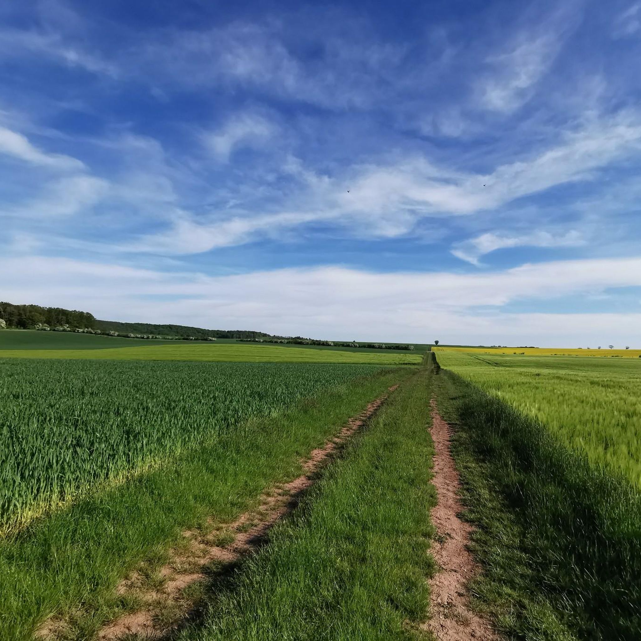
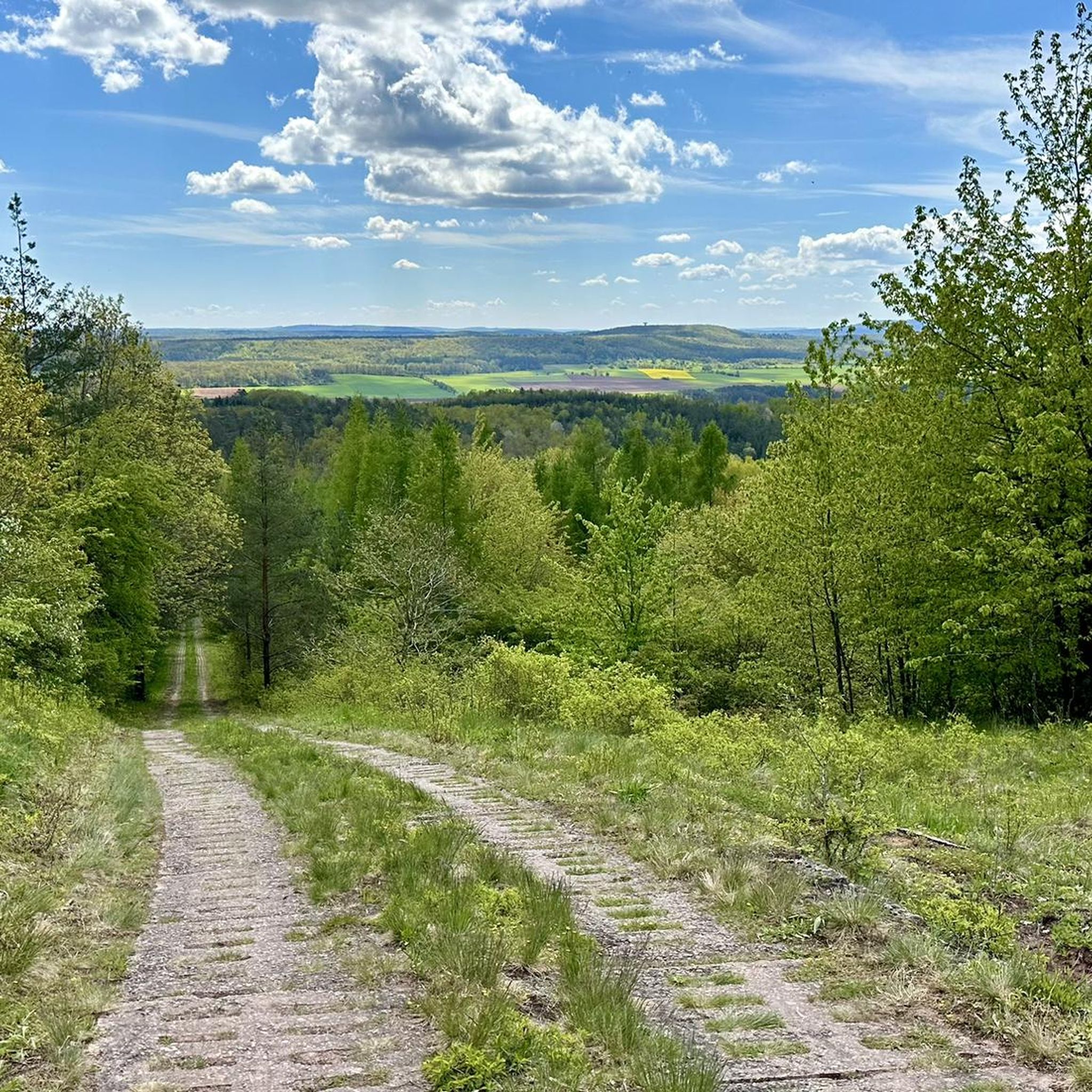
Mountain biking around Gompertshausen offers access to the varied terrain of the Heldburger Land and the broader Thuringian Forest. The region is characterized by rolling hills, steep valleys, and dense mixed forests, providing diverse riding experiences. Riders can expect significant elevation changes and a network of trails that cater to various skill levels. This landscape provides a scenic backdrop for mountain bike adventures.
Best mountain bike trails around Gompertshausen
- The most popular mountain bike trail is Gatehouse Trappstadt – Market…
Last updated: June 26, 2026
5.0
(3)
8
riders
Moderate mountain bike ride. Good fitness required. Advanced riding skills necessary.
3.0
(1)
9
riders
84.8km
06:52
1,160m
1,160m
Hard mountain bike ride. Very good fitness required. Advanced riding skills necessary.

Sign up for free
4.8
(8)
4
riders
Moderate mountain bike ride. Good fitness required. Advanced riding skills necessary.
6
riders
Moderate mountain bike ride. Good fitness required. Advanced riding skills necessary.
5.0
(3)
8
riders
Easy mountain bike ride. Great for any fitness level. Suitable for all skill levels.
Get access to more routes and recommendations from other explorers.
Sign up for free
Already have an account?
Our route recommendations are based on thousands of hikes, rides, and runs completed by other people on komoot.
Start today with a free account
Your next adventure awaits.
Login or Signup
Tips from the Community

Of the 1400km of the inner-German border, unfortunately only a few places like this remain! How do you want to teach children history if you destroy everything! Much more of it should have been left standing, but in the united capital, investment was rather made in buildings. I remember this threatening border as a child and I find it simply sad what is left of it. This way, it's hard to convey history to my little adventurous daughter. You have to touch, see and understand on site. If a pompous building stands there today, what do I want to tell my adventurous daughter with that?
0
0

There are beautiful hiking trails here that also commemorate the former border.
0
0

The road is nice to drive on.
1
0

The air in the pavilion has a salt content of about 25%, which moisturizes and positively influences the respiratory tract. I found it pleasant 😊
2
0
A beautiful historic market square, well-preserved and restored half-timbered houses, a few cafes and ice cream parlors invite you to sit outside in the summer.
2
0

The first sandstone spring casing from the 1940s was redesigned in 1973 and acquired its current representative appearance in 1985. A bronze plaque by Erich Husemann from Trappstadt has commemorated the importance of the Franconian Saale since 1987. The spring stream flows southwest through Alsleben, where it joins the Fleusengraben, and joins the left source stream north of Bad Königshofen-Untereßfeld. Source: https://de.m.wikipedia.org/wiki/Fr%C3%A4nkische_Saale
13
0
The Franconian Saale originates in the Grabfeld near the Haßberge Mountains, east and southeast of Bad Königshofen, respectively, from two roughly equal, 3.9 km long source streams: Its right and northern source streams originate from the Saalbrunnen (not to be confused with the Saalbrunnen, also located in Franconia), approximately 1.7 kilometers east of Alsleben, a district of Trappstadt. The spring is located in an open field, less than 500 meters from the Thuringian border, just off the NES 45 district road, which leads to Gompertshausen. The young Franconian Saale rises there at 313 meters above sea level, below the Kapellenberg (390 meters above sea level). Source: https://de.m.wikipedia.org/wiki/Fr%C3%A4nkische_Saale
13
0
Frequently Asked Questions
How many mountain bike trails are there around Gompertshausen?
Komoot features over 140 mountain bike trails around Gompertshausen. These routes explore the varied terrain of the Heldburger Land and the broader Thuringian Forest, offering diverse riding experiences for all skill levels.
What is the difficulty range of mountain bike trails in this region?
The trails around Gompertshausen cater to a wide range of abilities. You'll find over 25 easy routes, more than 110 moderate trails, and a few challenging options for experienced riders. The region's topography includes rolling hills, steep valleys, and dense forests, providing varied technical challenges.
Are there family-friendly mountain bike routes near Gompertshausen?
Yes, there are several family-friendly and easy mountain bike routes. For instance, the Market Square, Bad Königshofen – Gompertshausen Border Monument loop from Gompertshausen is an easy 17.2-mile (27.7 km) trail that leads through a mix of open fields and forest edges, suitable for a more relaxed ride.
What kind of terrain can I expect on mountain bike trails around Gompertshausen?
You can expect a diverse landscape characterized by rolling hills, steep valleys, and dense mixed forests. Trails often traverse lush green woodlands and follow ridgelines, rewarding riders with panoramic views. There are significant elevation changes, providing both gentle inclines and challenging descents.
Are there circular mountain bike routes available?
Yes, many of the mountain bike routes around Gompertshausen are designed as loops, allowing you to start and finish at the same point. An example is the Grenzgänger Trail Border Point – Gompertshausen Border Monument loop from Linden, a moderate 23.7-mile (38.2 km) route.
What natural highlights or landmarks can I see while mountain biking near Gompertshausen?
The region offers several interesting sights. You might encounter historical landmarks like the Heldburg Fortress or the Straufhain Castle Ruins. Natural features include the Summit of Großer Gleichberg and various lakes such as Cow Lake or Reuthsee.
Where can I park my car when going mountain biking in Gompertshausen?
Many routes around Gompertshausen start from villages or designated parking areas. For example, the Gatehouse Trappstadt – Market Square, Bad Königshofen loop from Schloss Sternberg begins near Schloss Sternberg, which typically offers parking options. It's advisable to check the specific tour details on komoot for recommended starting points and parking information.
Are mountain bike trails in Gompertshausen dog-friendly?
While many trails in the Thuringian Forest are generally accessible for dogs, it's important to keep them on a leash, especially in nature protection areas and near wildlife. Always respect local regulations and other trail users. Check individual route descriptions on komoot for specific notes on dog-friendliness.
What do other mountain bikers say about the trails in Gompertshausen?
The mountain bike routes in Gompertshausen are highly rated by the komoot community, with an average score of 4.7 stars from over 270 reviews. Riders often praise the diverse terrain, the scenic forest paths, and the variety of options available for different skill levels.
Are there places to eat or stay near the mountain bike trails?
Gompertshausen and the surrounding Heldburger Land region offer various options for refreshments and accommodation. You'll find cafes, restaurants, and guesthouses in nearby towns and villages, allowing you to refuel and relax after your ride. It's a good idea to check local listings for current opening times.
What is the best time of year for mountain biking in the Gompertshausen area?
The best time for mountain biking in the Gompertshausen area, like much of the Thuringian Forest, is typically from spring through autumn (April to October). During these months, the weather is generally mild, and the trails are dry and in good condition. Winter riding can be possible but may involve snow and ice, requiring different equipment and caution.
Are there any specific regulations for mountain biking in the Thuringian Forest?
When mountain biking in the Thuringian Forest, it's generally recommended to stay on marked trails and paths to protect the natural environment and wildlife. Respect private property, close gates behind you, and be mindful of hikers and other trail users. Always check for any specific local regulations or temporary closures, especially within nature reserves.
Most popular routes around Gompertshausen
Most popular attractions around Gompertshausen

Get inspired with the komoot mobile app


Explore more
Browse the best MTB trails in other regions.
