The best running trails in Средна Гора
4.6
(21)
1,291
runners
61
runs
Jogging in Средна Гора offers diverse terrain, from extensive broad-leaved forests to picturesque river valleys. The region features a varied topography with moderate elevations, providing accessible and passable trails for runners. It is characterized by its three distinct parts—Ihtimanska Sredna Gora, Sashtinska Sredna Gora, and Sarnena Sredna Gora—each contributing unique landscapes. These natural features create a tranquil environment for running, with routes ranging from gentle paths to more challenging ridge trails.
Best jogging routes in Средна Гора
- The most popular…
Last updated: June 26, 2026
4.2
(5)
117
runners
21.0km
02:36
650m
650m
Hard run. Very good fitness required. Sure-footedness, sturdy shoes and alpine experience required.
5.0
(2)
71
runners
7.86km
00:50
50m
50m
Moderate run. Good fitness required. Mostly paved surfaces. Suitable for all skill levels.

Sign up for free
38
runners
43.0km
05:31
1,400m
1,410m
Hard run. Very good fitness required. Sure-footedness, sturdy shoes and alpine experience required.
32
runners
Hard run. Very good fitness required. Sure-footedness, sturdy shoes and alpine experience required.
25
runners
22.0km
03:02
760m
760m
Hard run. Very good fitness required. Sure-footedness, sturdy shoes and alpine experience required.
Get access to more routes and recommendations from other explorers.
Sign up for free
Already have an account?
Our route recommendations are based on thousands of hikes, rides, and runs completed by other people on komoot.
Start today with a free account
Your next adventure awaits.
Login or Signup
Popular around Средна Гора
Tips from the Community

The parking lot is a great starting point
0
0

There are various of names of the peak, that are effectively synonyms: Bachun, Bachul, etc. It has to be noted that the signs are referring to Bachul (Бачул in Bulgarian). Further there are at least 3 peaks with the same name close one to another: Small Bachun, Middle Bachun and (big) Bachun. The late is surprisingly by certain 5 meters lower than the middle one. There is another (kind of a) peak marked with the Bulgarian flag that some tourists consider being Bachun - the distance from there to middle Bachun is less than 10 min and from there to Bachun - another 5-10 min.
0
0

Very nice place to walk. There is a place to sit and eat sandwiches with a view.
0
0


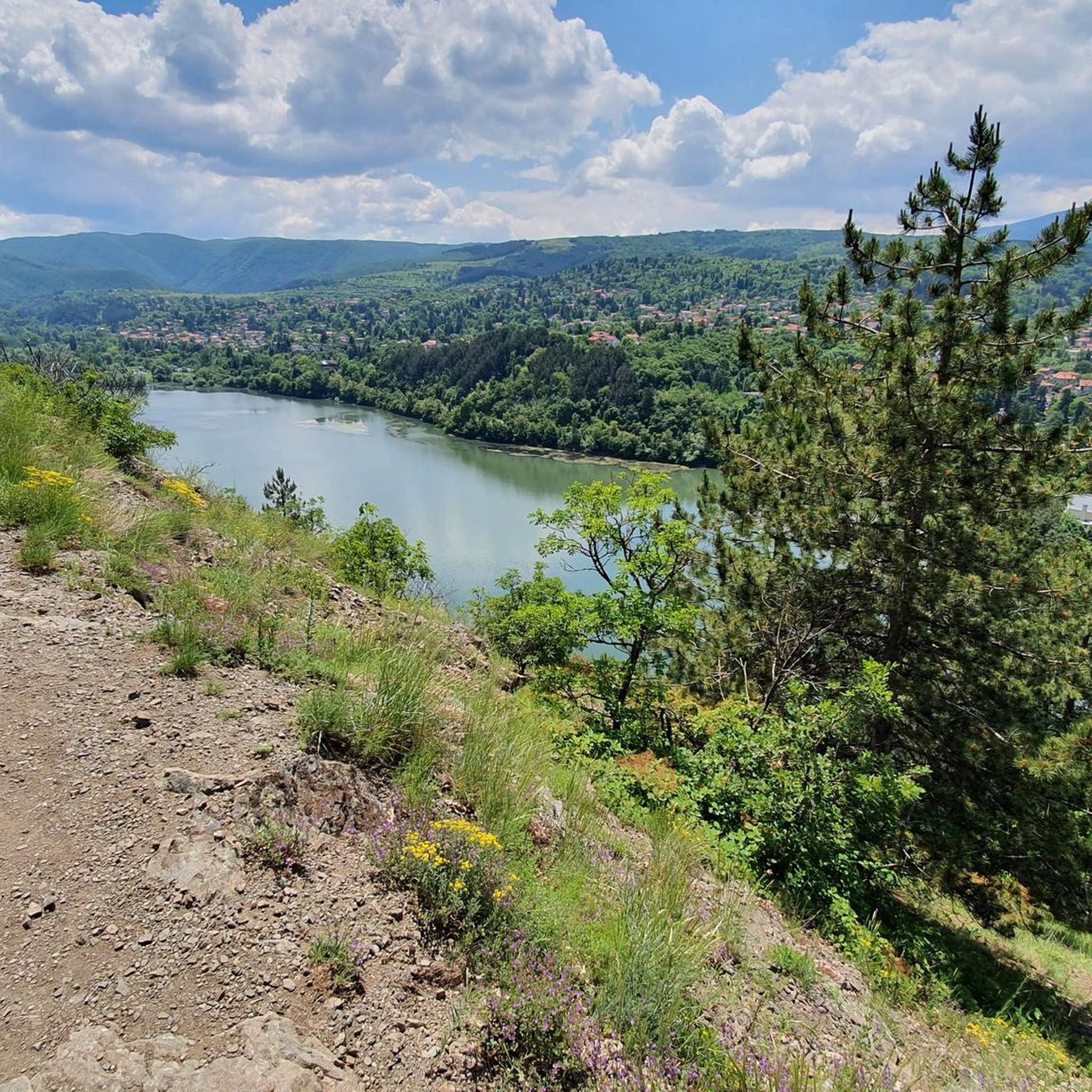
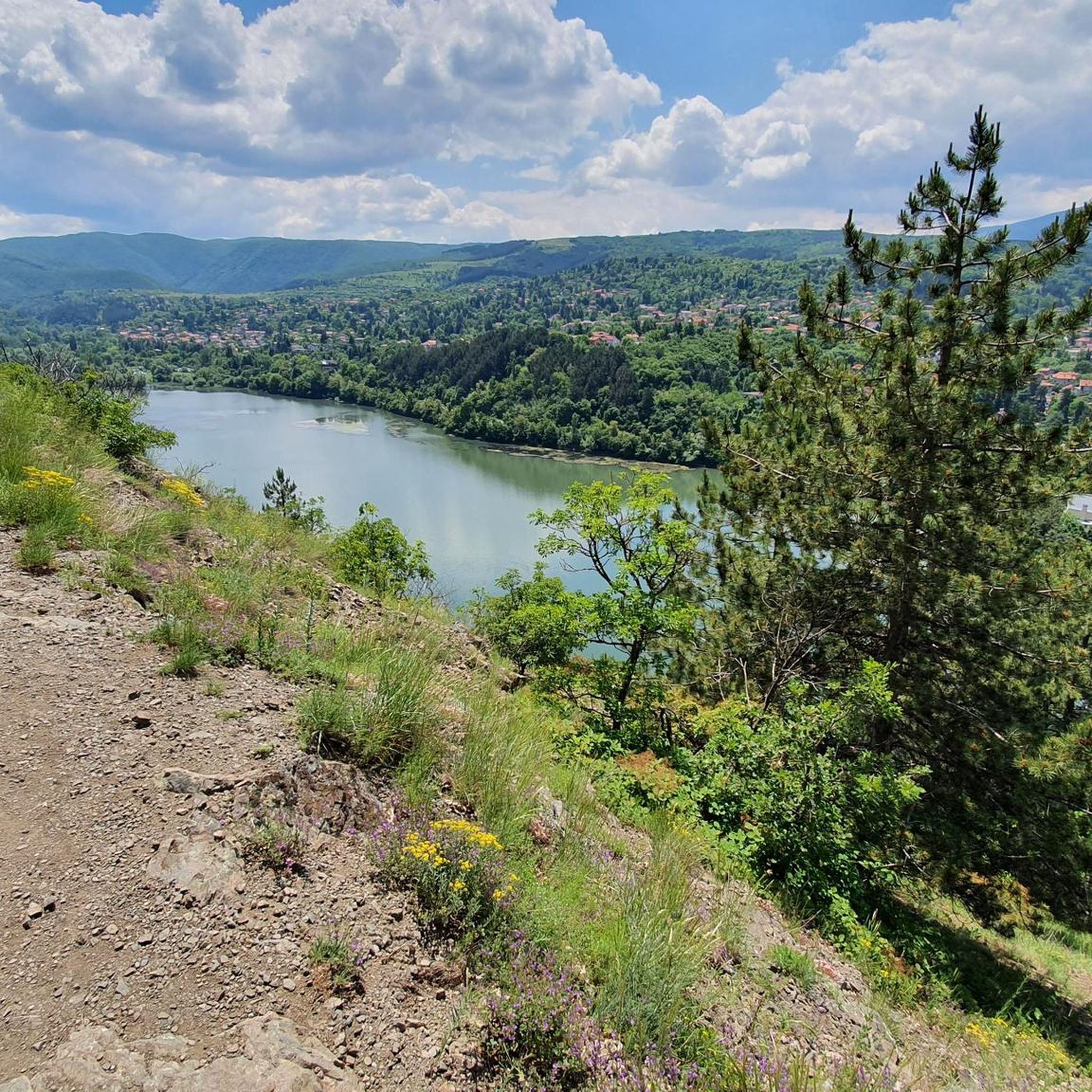
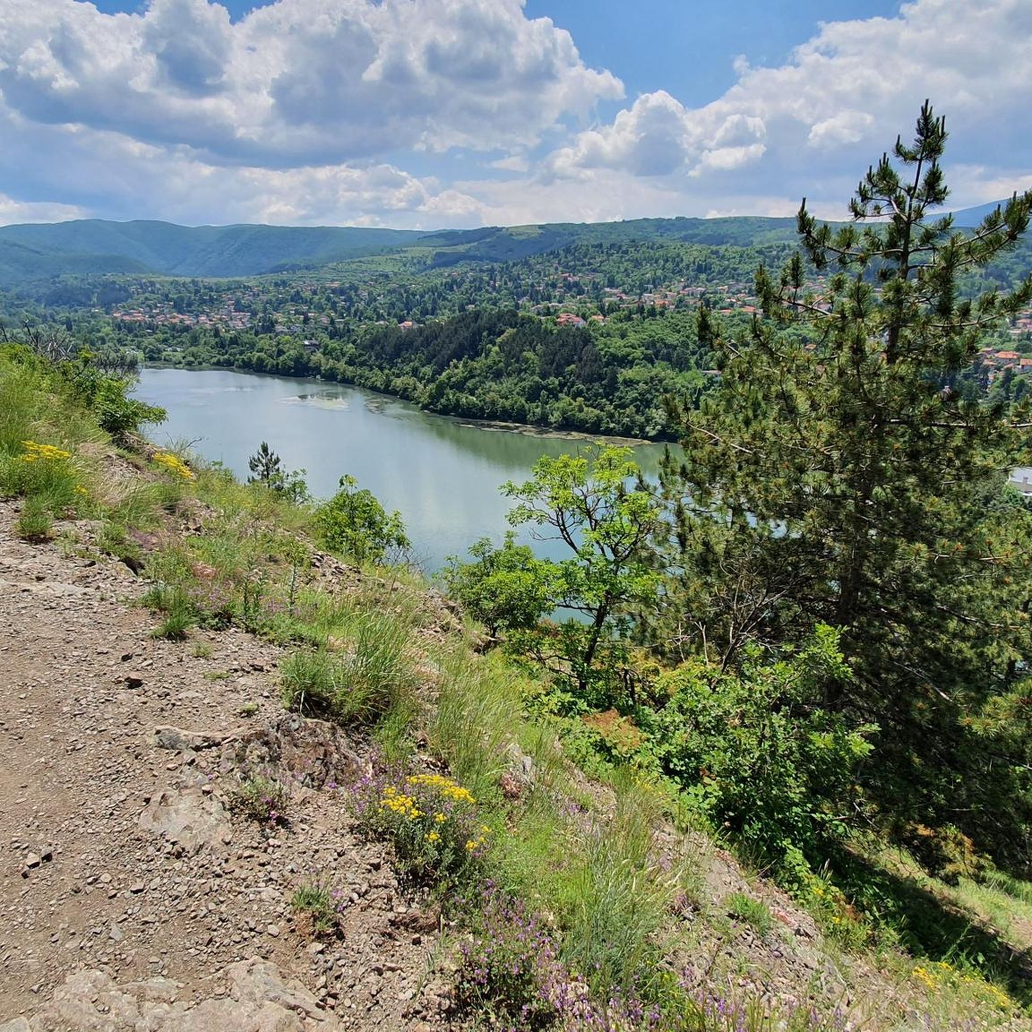
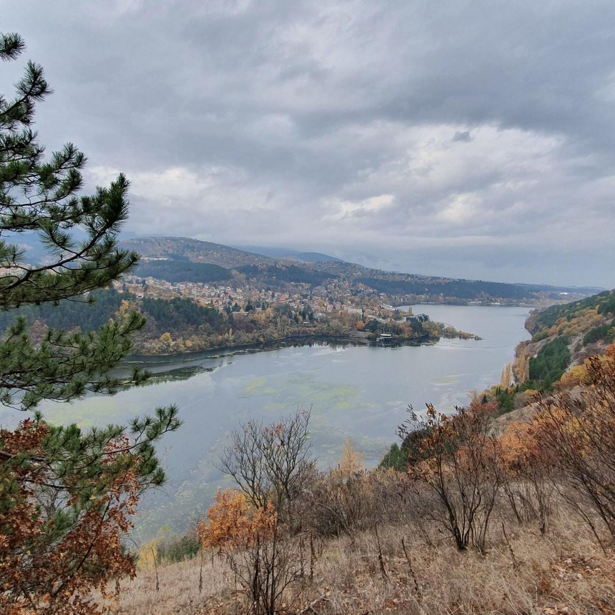
This is a great view spot. You can see the Pancharevo lake from the hills above. There is a trail to this place which starts from the main road near the "Baniata" bus-stop. Just above the view-spot, there is an abandoned building.
0
0
Not so hard and not so easy walk but it gives you a nice views. There are so many trails (off-road paths) to the peak so you can choose different every time
1
0
The views from Polovrak peak are very nice. You can see Rila and Vitosha mountains, Sofia city, and all the villages around.
3
0
Frequently Asked Questions
How many running routes are available in Sredna Gora?
Sredna Gora offers a wide selection of over 70 running routes. These range from gentle paths suitable for beginners to more challenging trails for experienced runners, ensuring there's something for every ability level.
What kind of terrain can I expect when jogging in Sredna Gora?
You'll find a diverse range of terrain in Sredna Gora. The region is characterized by extensive broad-leaved forests, picturesque river valleys, and a varied topography with moderate elevations. This means you can enjoy everything from relatively flat forest paths and gentle hill strolls to more challenging ridge routes with significant elevation gains.
Are there running trails suitable for beginners or those looking for an easy jog?
Yes, Sredna Gora has routes perfect for beginners or those seeking an easier run. There are 5 easy routes available, often following flat forest paths or gentle river valleys, providing a tranquil and accessible experience. For example, the Панчаревско езеро loop from Kokaliane is a moderate 4.9-mile path that offers a relatively flat and scenic running experience.
What do other runners enjoy the most about jogging in Sredna Gora?
The running routes in Sredna Gora are highly rated by the komoot community, with an average score of 4.6 stars from over 20 reviews. Runners often praise the quiet and natural environment, the diverse forests, and the panoramic views from various points. The accessibility and variety of trails for different skill levels are also frequently highlighted.
Are there any circular running routes in Sredna Gora?
Yes, many of the running routes in Sredna Gora are designed as loops, offering a convenient way to start and finish your run in the same location. An example is the challenging Bachun Peak – View of Vitosha Mountain loop from Pancharevo, which covers 13 miles (20.9 km) and offers expansive views.
What are some notable viewpoints or scenic spots along the running trails?
Sredna Gora offers several stunning viewpoints. The highest point, Golyam Bogdan, provides expansive panoramic views of the surrounding Rose and Thracian valleys. Other spots like Raven's Rock offer sweeping vistas of the Upper Thracian Plain and the Balkan mountain range. Routes like the View of Pancharevo Lake – Polovrak Peak loop from Pancharevo are specifically known for their panoramic viewpoints.
Are there any attractions or landmarks I can see while running in Sredna Gora?
Yes, several routes pass by interesting natural and historical landmarks. You might encounter peaks like Bachun Peak, Polovrak Peak, or Lalina Mogila Peak. The Iskar Reservoir is another prominent feature you might encounter. The region is also rich in cultural heritage, with towns like Koprivshtitsa and ancient Thracian remains near Starosel, though these may require a slight detour from specific running paths.
Is Sredna Gora suitable for family running or jogging with children?
Sredna Gora's accessible terrain and varied difficulty levels make it suitable for families. While specific 'children's routes' aren't highlighted, the easier forest paths and gentle river valley trails are generally well-suited for family outings, allowing for a pleasant experience for all ages.
What is the best time of year to go jogging in Sredna Gora?
Sredna Gora is appealing for outdoor activities for much of the year. Its moderate altitude means less snow retention and higher temperatures compared to other Bulgarian mountains, extending the season. Spring offers wildflower meadows, while the extensive broad-leaved forests provide shade during warmer months. Autumn brings beautiful foliage. Winter running is possible, but conditions may vary.
Are there options for long-distance running or more challenging trails?
Absolutely. Sredna Gora offers 25 difficult routes for those seeking a greater challenge. These often involve significant elevation gains and cover longer distances. For example, the View of Pancharevo Lake – Polovrak Peak loop from Pancharevo is a demanding 26.4-mile (42.5 km) trail with substantial climbing, ideal for experienced long-distance runners.
Is public transport available to access running routes in Sredna Gora?
While specific public transport details for each trailhead are not provided, the region is generally accessible. Many routes start near towns or villages that may have local bus services. It's advisable to check local transport schedules for specific starting points like Pancharevo or Kokaliane before planning your trip.
Are there parking facilities near the running trailheads?
Parking is generally available near popular trailheads and starting points in Sredna Gora, especially in areas close to towns or recreational zones. For routes originating from places like Pancharevo or Kokaliane, you can typically find designated parking areas, though it's always good to arrive early during peak times.
Most popular routes in Средна Гора
Most popular attractions in Средна Гора

Get inspired with the komoot mobile app


Explore more
Browse the best Running Trails & Routes in other regions.
