The best cycling routes in Szárhegyi Erdő
3.9
(12)
128
riders
13
rides
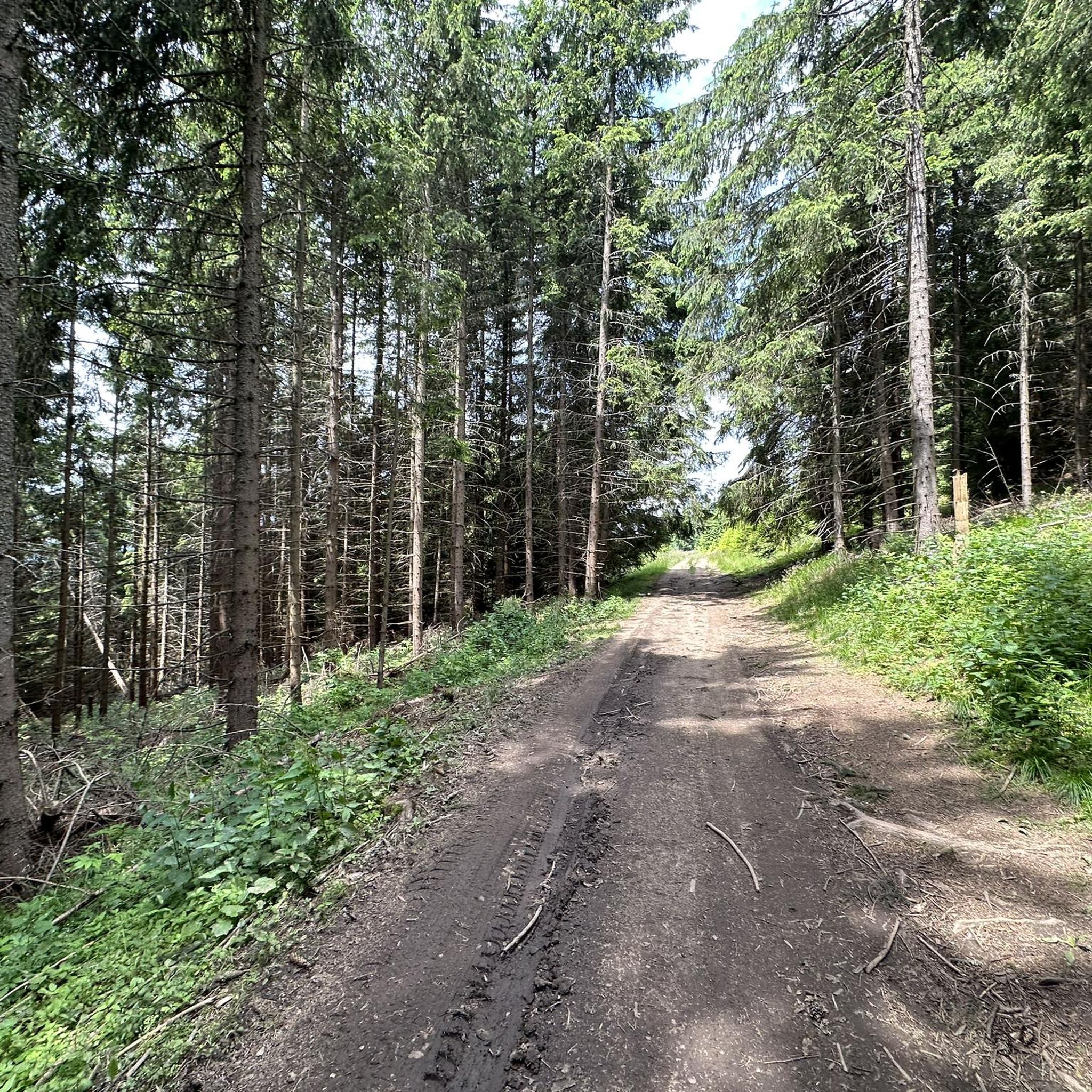
Touring cycling in Szárhegyi Erdő offers routes through a predominantly forested region, characterized by rolling hills and occasional mountain passes. The landscape features dense woodlands and open valleys, providing varied terrain for cyclists. Elevation changes are present, ranging from gentle inclines to more challenging climbs, particularly around the passes.
Best touring cycling routes in Szárhegyi Erdő
- The most popular touring cycling route is Pângărați Pass (Bicaz Pass) – Pângărați Pass (1,256 m) loop from Lăzarea hc, a 33.8 miles…
Last updated: July 3, 2026
3.0
(2)
13
riders
Hard bike ride. Very good fitness required. Mostly paved surfaces. Suitable for all skill levels.
4.0
(3)
16
riders
26.9km
01:32
90m
90m
Easy bike ride. Great for any fitness level. Mostly paved surfaces. Suitable for all skill levels.

Sign up for free
18
riders
67.0km
04:47
1,370m
1,370m
Hard bike ride. Very good fitness required. Mostly paved surfaces. Suitable for all skill levels.
3.0
(2)
11
riders
51.0km
04:01
890m
890m
Hard bike ride. Very good fitness required. Mostly paved surfaces. Suitable for all skill levels.
6
riders
151km
09:40
1,730m
1,730m
Hard bike ride. Very good fitness required. Mostly paved surfaces. Suitable for all skill levels.
Get access to more routes and recommendations from other explorers.
Sign up for free
Already have an account?
Our route recommendations are based on thousands of hikes, rides, and runs completed by other people on komoot.
Start today with a free account
Your next adventure awaits.
Login or Signup
Popular around Szárhegyi Erdő
Tips from the Community

Szeklerland [ˈseːk-] (Hungarian Székelyföld, Romanian Ținutul Secuiesc or Secuime, Latin Terra Siculorum) is the area in the east of Transylvania in Romania, where Szeklers in particular settle. The historical Szeklerland is located in the east of the Transylvanian Basin, within the Carpathian arc and partly in the Eastern Carpathians in the central part of Romania. The area includes most of the present-day Romanian counties of Harghita and Covasna, the middle part of Mureș County, smaller parts of Alba and Cluj counties (the towns of the former Szekler Chair of Aranyos around the municipality of Unirea (Oberwinz)) as well as individual municipalities in the counties of Neamț (Bicazu Ardelean, Bicaz-Chei and Dămuc) and Bacău (Ghimeș-Făget). The cultural and political centre of Szeklerland used to be the town of Székelyudvarhely (Odorheiu Secuiesc) west of the Harghita Mountains. Other important places were Marosvásárhely (Târgu Mureș), Csíkszereda (Miercurea Ciuc) and Sepsiszentgyörgy (Sfântu Gheorghe). Today, Târgu Mureș is considered the political, economic and cultural centre of the Szeklers in Transylvania.
0
0
Praid (obsolete Paraid; German Salzberg, Hungarian Parajd) is a commune in Harghita County, in the Transylvania region of Romania. The municipality of Praid is located in the east of Northern Transylvania, in the southern foothills of the Gurghiu Mountains, a mountain range in the Eastern Carpathians. In the historical region of Szeklerland in the west of Harghita County, at the mouth of the stream of the same name in the upper reaches of the Târnava Mică (Little Kokel) and on the Drum național 13A, the town of Praid is seven kilometers southeast of the spa town of Sovata in Mureș County and about 70 kilometers northwest of the county capital Miercurea Ciuc (Szeklerburg). Praid is the terminus of the Blaj–Târnăveni–Praid railway line.
0
0
The small river Bicaz has carved a gorge in the limestone rocks for about 5 km. The steep rock walls rise up to 300 m directly next to the road.
0
0
Very nice guesthouse with saunas and hotpots.
0
0
A lot of tourism is expected here
0
0

Truly suggestive road/cycling itinerary from a landscape point of view, but quite busy
0
0

Typical town from the Ceausescu era
0
0

If you are coming from Lacul Roșu downhill to the Bicaz Gorges keep a hand on the breaks and dive into this amazing scenery :)
3
0
Frequently Asked Questions
How many touring cycling routes are available in Szárhegyi Erdő?
Szárhegyi Erdő offers a diverse network of over 10 touring cycling routes. These routes traverse a predominantly forested region with rolling hills and mountain passes, providing varied terrain for cyclists of all levels.
Are there any easy touring cycling routes suitable for beginners or families in Szárhegyi Erdő?
Yes, Szárhegyi Erdő has several easy routes. For a pleasant ride through forested paths and open countryside, consider the Wooden Gazebo in Găgești loop from Gheorgheni, which is 16.7 miles (26.9 km) long and takes about 1 hour 32 minutes. Another easy option is the Wooden Gazebo in Găgești loop from Felszeg.
What are the most challenging touring cycling routes for experienced riders in Szárhegyi Erdő?
Experienced riders looking for a challenge will find several difficult routes. The Pângărați Pass (Bicaz Pass) – Bicaz Gorge loop from Gheorgheni is a demanding 41.9 miles (67.5 km) path with substantial climbs and descents through gorges and forested areas. Another difficult option is the Pângărați Pass (Bicaz Pass) – Pângărați Pass (1,256 m) loop from Lăzarea hc, featuring significant elevation gain over 33.8 miles (54.5 km).
Are there any circular touring cycling routes in Szárhegyi Erdő?
Yes, many of the touring cycling routes in Szárhegyi Erdő are designed as loops, allowing you to start and end at the same point. Examples include the Wooden Gazebo in Găgești loop from Gheorgheni and the more challenging Wooden Gazebo in Găgești – Pângărați Pass (Bicaz Pass) loop from Gheorgheni.
What is the best time of year to go touring cycling in Szárhegyi Erdő?
The best time for touring cycling in Szárhegyi Erdő is generally from late spring to early autumn (May to October). During these months, the weather is typically milder, and the forested paths and mountain passes are most accessible and enjoyable. Always check local weather forecasts before heading out.
What kind of terrain can I expect on touring cycling routes in Szárhegyi Erdő?
Szárhegyi Erdő's touring cycling routes feature a mix of terrain. You'll encounter predominantly forested areas, rolling hills, and occasional mountain passes. The landscape includes dense woodlands and open valleys, with elevation changes ranging from gentle inclines to more challenging climbs, especially around the passes and gorges.
What do other touring cyclists enjoy most about cycling in Szárhegyi Erdő?
The area is highly rated by the komoot community, with an average score of 3.9 stars from over 10 reviews. Reviewers often praise the region's diverse terrain, from quiet woodlands to scenic mountain passes, and the opportunity to explore its natural beauty.
Are there any specific scenic viewpoints or natural landmarks along the touring cycling routes?
While specific named viewpoints are not listed, the routes in Szárhegyi Erdő are known for their scenic beauty. The Pângărați Pass (Bicaz Pass) – Bicaz Gorge loop from Gheorgheni, for instance, takes you through impressive gorges and forested areas, offering stunning natural vistas. Many routes also feature open countryside sections with panoramic views.
What should I pack for a touring cycling trip in Szárhegyi Erdő?
Given the varied terrain and potential for elevation changes, it's advisable to pack layers of clothing suitable for different weather conditions. Essential items include a helmet, water bottles, snacks, a repair kit, and navigation tools. For longer rides, consider bringing a first-aid kit and a power bank for your devices. Always check the weather forecast before your trip.
Is public transport available to access the touring cycling trails in Szárhegyi Erdő?
Access to trailheads via public transport can vary. While some larger towns like Gheorgheni, which serves as a starting point for routes like the Wooden Gazebo in Găgești loop, may have bus or train connections, reaching more remote trailheads might require personal vehicle transport. It's recommended to research specific public transport options for your chosen starting point.
Are there options for parking at the trailheads for touring cycling routes in Szárhegyi Erdő?
For routes starting from towns or villages, such as Gheorgheni or Lăzarea, you can typically find parking facilities. However, for more remote trailheads, designated parking might be limited. It's advisable to check the specific starting point of your chosen route on komoot or local maps for parking availability before you set off.
Most popular routes in Szárhegyi Erdő

Get inspired with the komoot mobile app


Explore more
Browse the best Cycling routes in other regions.
