The 3 Most Amazing Peaks around Brandis
Best mountain peaks around Brandis are characterized by elevated points and natural attractions rather than traditional high mountain ranges. The town, located in the Leipzig district of Saxony, Germany, features a landscape shaped by both nature and historical quarrying. The Kohlenberg, reaching 179 meters, stands as the most prominent natural elevation in the area. This region offers opportunities for hiking and exploring local history.
Best mountain peaks around Brandis
- The most popular mountain peaks is Beucha Hill Church, a…
Last updated: October 4, 2026
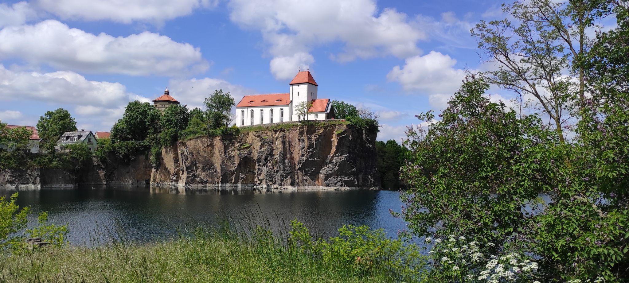
Beucha Hill Church
Highlight • Religious Site
Translated by Google •
Tip by

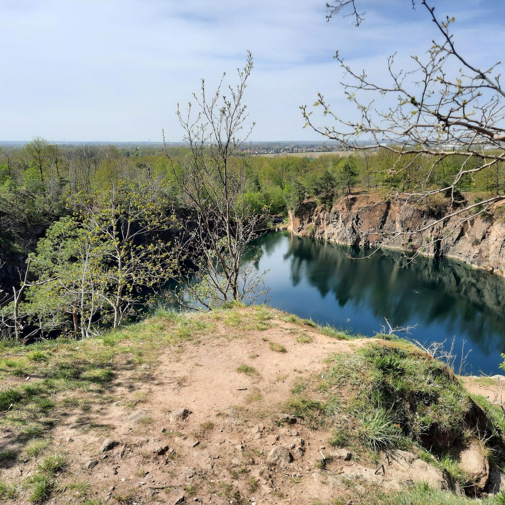
Kohlenberg Summit
Highlight • Summit
Translated by Google •
Tip by

Sign up now to discover places like this
Get recommendations on the best single tracks, peaks, & plenty of other exciting outdoor places.
Galgenberg – Napoleon's Command Post (Battle of Wachau, 1813)
Highlight • Historical Site
Translated by Google •
Tip by
Johannas Höh Observation Tower
Highlight • Viewpoint
Translated by Google •
Tip by

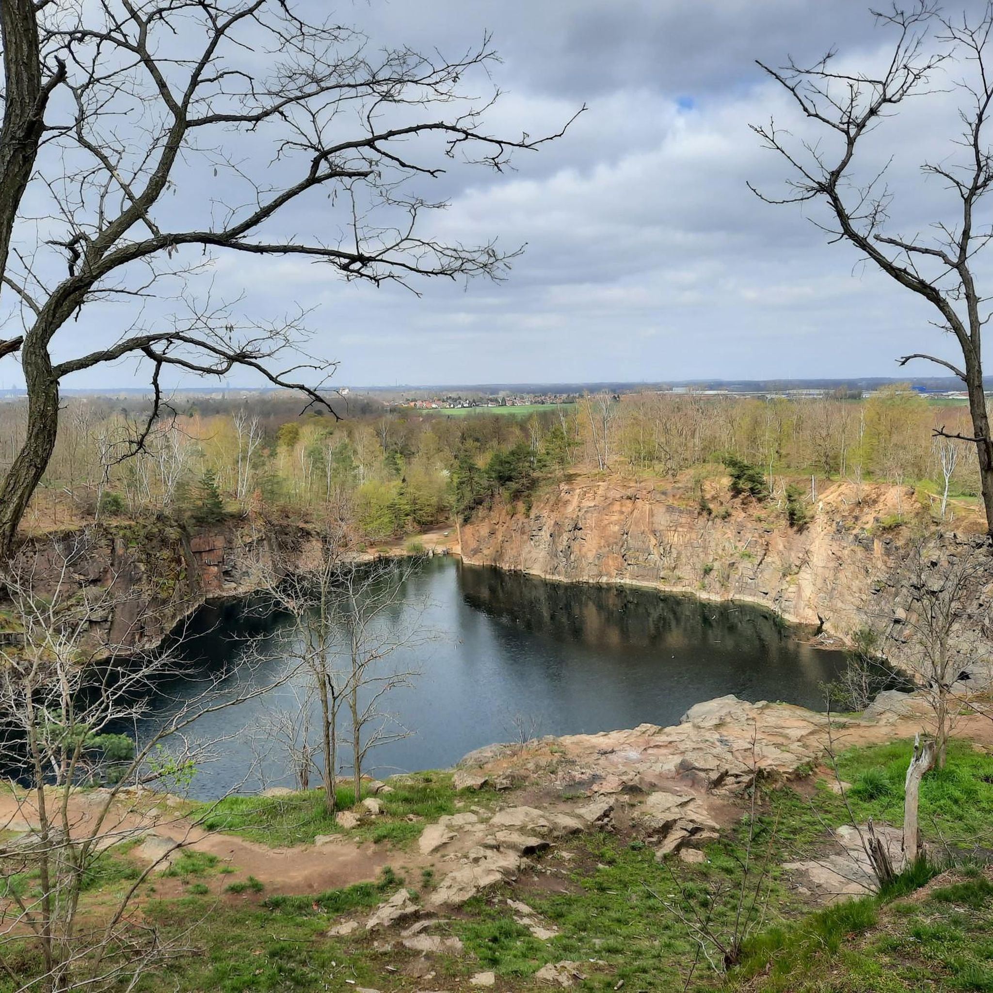
View from Mount Paunsdorf
Highlight • Viewpoint
The northern ascent & descent better go with long pants (nettles)
Translated by Google •
Tip by
Start today with a free account
Your next adventure awaits.


Tips from the Community

Beautiful viewing tower and resting place. The tower is accessible (but unfortunately not always).
0
0

Unfortunately, the bench shown in some photos no longer exists. Nevertheless, the climb is worth it, the view is beautiful, especially at sunset and at night.
0
0

Mount Paunsdorf with a small (temporary) memorial. View to Leipzig, Taucha & Co. The northern ascent & descent better go with long pants (nettles)
11
0


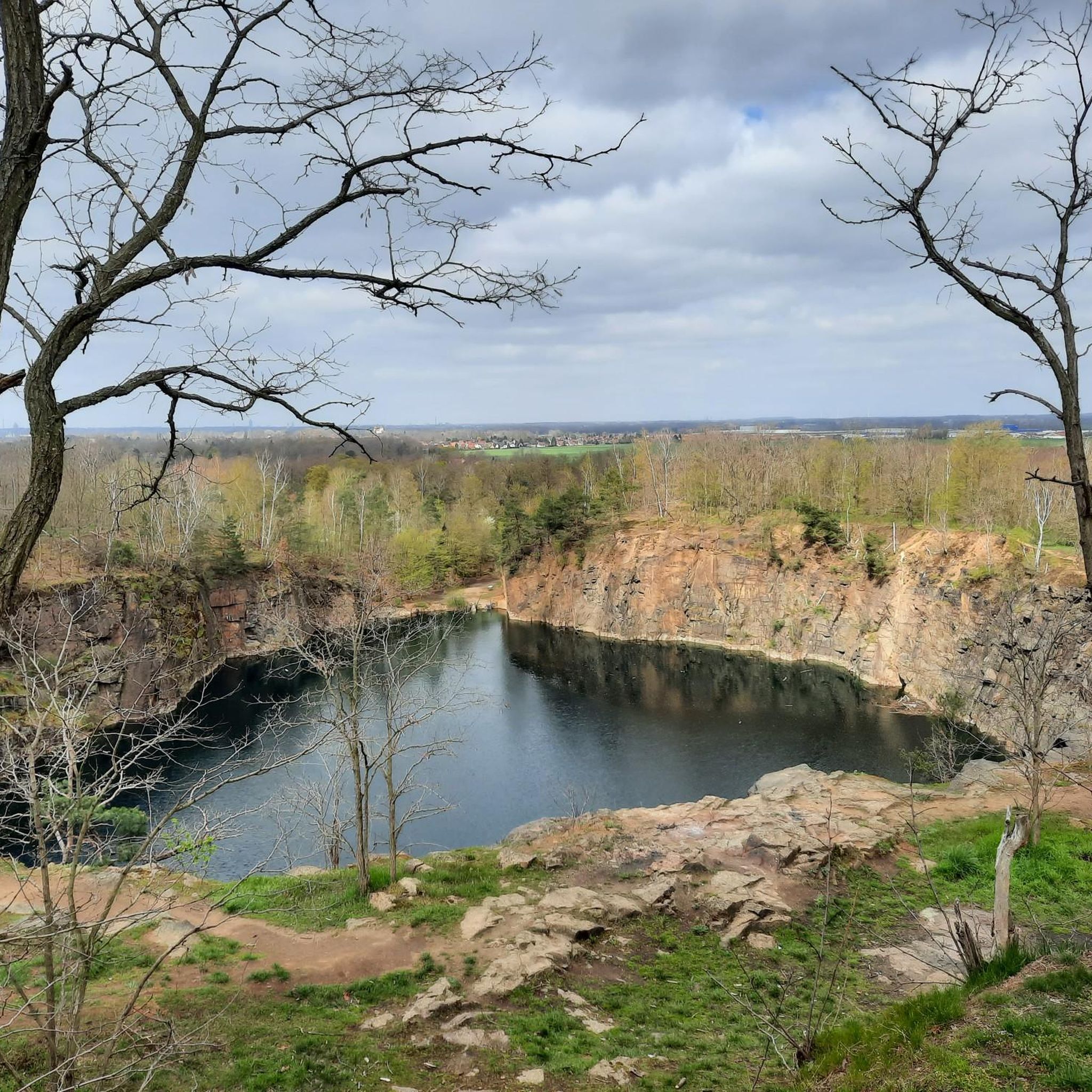
Memorial and cemetery at the foot of the Beucha mountain church.
4
0


formerly served as a fortified church
3
0

Frequently Asked Questions
What are the most notable elevated points and natural attractions around Brandis?
While Brandis doesn't feature traditional high mountain ranges, the most prominent natural elevation is the Kohlenberg, reaching 179 meters. The area is also known for its historical quarries, some of which are now used for climbing. Notable attractions include the picturesque Beucha Hill Church, situated on the slopes of a former quarry, and various viewpoints like Johannas Höh Observation Tower and View from Mount Paunsdorf.
What unique natural features can I explore around Brandis?
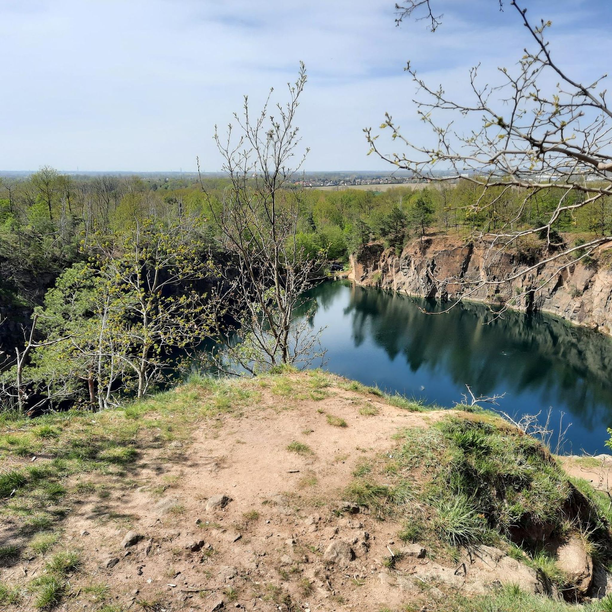
The Brandis area is characterized by its wooded surroundings and former granite porphyry quarries, particularly around the Kohlenberg. These quarries have historical significance and some now feature rock lakes or have been developed into climbing areas. The "Old Beech Tree Natural Monument" is also located near the Kohlenberg.
Are there any historical landmarks associated with the elevated points in Brandis?
Yes, the Beucha Hill Church is a significant historical landmark, dating back to between 1000 and 1200. It's built on a former Slavic place of worship and its location above a quarry wall makes it very distinctive. Another historical point is Galgenberg – Napoleon's Command Post (Battle of Wachau, 1813), which served as Napoleon's command post during the Battle of Leipzig.
What kind of outdoor activities can I do near these elevated points?
The area offers various outdoor activities. The Kohlenberg is popular for climbing, with 67 routes in the West quarry and 34 in the East quarry. Hiking is also a major activity, with options like the "Easy hike" loop around Kohlenberg Pond and the "7-Quarries Hike." For cycling, you can explore routes like the "Pöppelmann Bridge (Grimma) – Mulderadweg Riverside Path loop" or the "Kirchbruch, Beucha – View of Störmthaler Lake loop." Running trails are also available, such as the "Moritzsee loop from Waldsteinberg." You can find more details on these activities in the cycling guide, road cycling guide, and running guide for Brandis.
Are there family-friendly options for exploring the elevated points near Brandis?
Yes, several options are suitable for families. The "7-Quarries Hike" is a family-friendly circular route over the Kohlenberg. The Beucha Hill Church and Galgenberg – Napoleon's Command Post are also categorized as family-friendly highlights, offering historical and scenic interest for all ages.
When is the best time to visit the elevated points and trails around Brandis?
The Brandis area can be enjoyed throughout much of the year. Spring and autumn offer pleasant temperatures for hiking and exploring the natural and historical sites. Summer is also suitable, especially for activities like climbing. While specific winter hiking information isn't detailed, the landscape can offer a different charm during colder months.
What do visitors enjoy most about the elevated points around Brandis?
Visitors appreciate the unique blend of nature and history. The picturesque setting of the Beucha Hill Church and its exciting story are frequently mentioned. The various viewpoints, such as Johannas Höh Observation Tower, are loved for their wonderful views over the Muldeland. The View from Mount Paunsdorf is particularly recommended for sunset and night views towards Leipzig. The komoot community has collectively given 443 upvotes and shared 393 photos across the highlights, indicating a high level of satisfaction.
What is the highest natural point near Brandis?
The highest natural point directly within the Brandis area is the Kohlenberg, which reaches an elevation of 179 meters (587 feet). The Galgenberg, at 162 meters, is also notable as the highest natural point of the entire Leipzig city area.
Are there easy hiking trails around Brandis' elevated points?
Yes, there are easy hiking options. An "Easy hike" loop around Kohlenberg Pond is available for a relaxed exploration of the area. Additionally, the "7-Quarries Hike" is described as a family-friendly circular route, suggesting it's accessible for most fitness levels.
Can I find cafes or amenities near the hiking trails in Brandis?
While specific cafes directly at trailheads are not detailed, Brandis is a town in the Leipzig district, and amenities like cafes and pubs would generally be available within the town center or nearby villages. It's advisable to check local listings for current options before your visit.
How can I get to the elevated points around Brandis using public transport?
Brandis is located in the Leipzig district of Saxony, Germany. Public transport options, such as regional buses or trains, connect Brandis to larger cities like Leipzig. From Brandis, local bus services might provide access to areas closer to the Kohlenberg or Beucha. For detailed public transport information, it's best to consult local transport schedules or services like Deutsche Bahn for connections to Brandis and surrounding areas.
Are there opportunities for climbing in the Brandis area?
Yes, the Brandis area offers unique climbing opportunities. The former quarries on the Kohlenberg have been developed by the Leipzig climbing school. The West quarry features 67 climbing routes, while the East quarry provides 34 routes of varying difficulty, making it a popular spot for climbers.
Most popular routes around Brandis
Most popular attractions around Brandis

Get inspired with the komoot mobile app


Explore more
See even more amazing summits around Brandis with these guides:
