The best walks and hikes around Göllnitz
4.6
(2282)
7,672
hikers
481
hikes
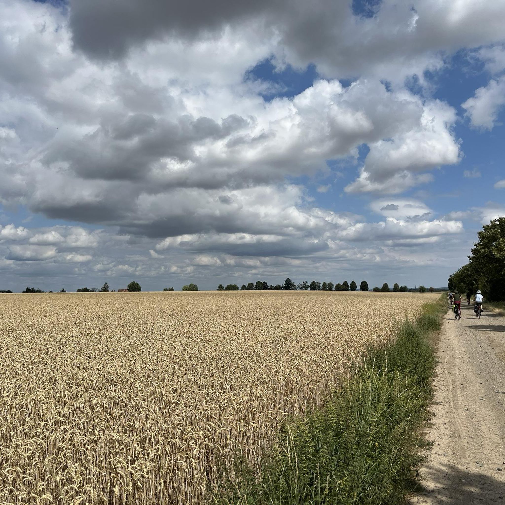
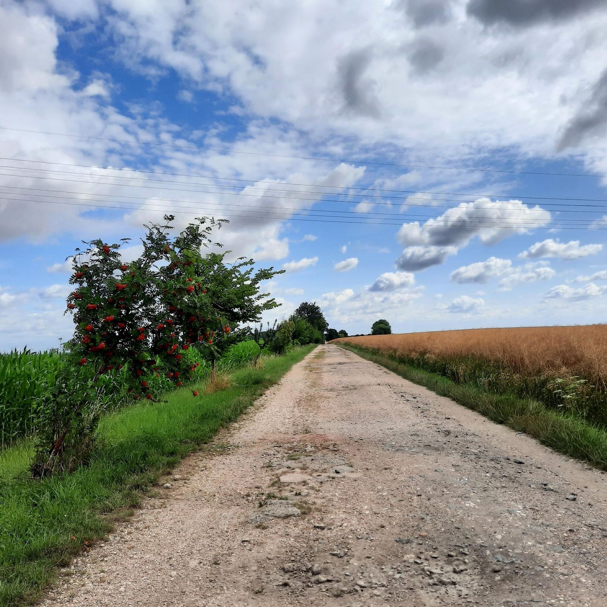
Hiking around Göllnitz features a landscape characterized by gentle rolling terrain, rural paths, and historical points of interest. The region offers a network of trails that often connect villages, churches, and local landmarks. Hikers can expect to traverse agricultural areas and discover small water features like ponds. The elevation changes are generally mild, making the area suitable for various activity levels.
Best hiking trails around Göllnitz
- The most popular hiking route is Dobitschen Moated Castle – Dobitschen Church loop from…
Last updated: August 18, 2026
4.7
(3)
18
hikers
5.03km
01:19
40m
40m
Easy hike. Great for any fitness level. Easily-accessible paths. Suitable for all skill levels.
4.7
(6)
9
hikers
Moderate hike. Good fitness required. Easily-accessible paths. Suitable for all skill levels.

Sign up for free
10
hikers
12.3km
03:16
120m
120m
Moderate hike. Good fitness required. Easily-accessible paths. Suitable for all skill levels.
5
hikers
3.11km
00:49
30m
30m
Easy hike. Great for any fitness level. Easily-accessible paths. Suitable for all skill levels.
3.7
(6)
4
hikers
9.73km
02:34
80m
80m
Moderate hike. Good fitness required. Easily-accessible paths. Suitable for all skill levels.
Get access to more routes and recommendations from other explorers.
Sign up for free
Already have an account?
Our route recommendations are based on thousands of hikes, rides, and runs completed by other people on komoot.
Start today with a free account
Your next adventure awaits.
Login or Signup

Tips from the Community

The church, a hall church that dominates the village center, was built in 1715. It is in the form of a typical Baroque village church – simple, rectangular, with a square tower at the west end. Inside the church is a three-sided gallery with an organ. The church is dominated by a hall church, which is a prominent feature of the village center.
0
0
Well-preserved and maintained entrance portal dating from 1620
0
0

The current church was completely rebuilt in 1715. The church tower was renovated in 2010. https://www.starkenberg.info/?page_id=1137
0
0
The church was built in 1751/52 on the site of a previous building as a rectangular, plastered hall with a slated, tiled tower and lantern. A special feature is its almost completely preserved interior and the rich, coherent painting in blue peasant baroque. Of note are four epitaphs and 13 funeral crowns dating from the period between 1791 and 1811. Zacharias Kresse (1800-1876), a native of the village, became a prominent local poet. https://www.stiftung-kiba.de/kirchen/dorfkirche-dobraschuetz
1
0

Old walls that cry out for investment!!! Otherwise, like so many buildings, it will probably be left to decay!😢
2
0

The present village church with a simple rectangular floor plan and a sacristy extension to the east was built in 1702. On the high hipped roof stands the octagonal ridge turret and on top of it the tail dome (Wikipedia).
20
0
The Protestant village church Mohlis is located in the Mohlis district of the town of Schmölln in the Altenburger Land district in Thuringia. The village church of Mohlis was built in 1680 on the land of a predecessor. In 1996 it had to be closed due to dilapidation. Residents and believers prevented the demolition and began renovations. Then help came from the KiBa Foundation with funding in 2003 and 2004. The roof, the wall crown and the roof structure were secured, which meant that the church could be saved. Further construction work is pending.
0
0
The manor was first mentioned in 1204 when Heinrich von Dobitschen had the town's church built. After the von Dobitschen family died out at the end of the 16th century, the property changed hands several times. From 1692 to 1945 it was owned by the Bachoff von Echt family. In 1692, the Saxon-Gotha Privy Councilor Johann Friedrich I Baron Bachoff von Echt (1643–1726) acquired it from the Schauroth heirs. In 1714, Dobitschen was united with other properties of the Bachoff von Echt family to form a family fidei commission under Johann Friedrich Bachoff von Echt. The baroque renovation or new construction of the castle took place in 1696. The estate complex is still completely preserved in its form, and you can see the transition from the baroque moated castle to its later use. The moated castle has been privately owned since 2000. Until it was sold, the property was used by, among others, an agricultural cooperative and the Schmölln music school. In a fire on April 7, 2004, an outbuilding of the cultural monument was damaged.
19
0
Frequently Asked Questions
How many hiking trails are available around Göllnitz?
There are over 500 hiking trails around Göllnitz, offering a wide range of options for different preferences and fitness levels. The region is known for its gentle rolling terrain and rural paths.
Are there easy hiking trails suitable for beginners or casual walkers?
Yes, Göllnitz offers a significant number of easy trails. Over 300 routes are classified as easy, making the area very accessible for beginners or those seeking a relaxed stroll. An example is the Dobitschen Moated Castle – Dobitschen Church loop from Dobitschen, which is just under 5 km and connects historical sites.
What kind of terrain can I expect on hikes in Göllnitz?
Hikers in Göllnitz can expect gentle rolling terrain, rural paths, and agricultural areas. The trails often connect villages, churches, and local landmarks, with mild elevation changes throughout the region.
Are there any circular walks in Göllnitz?
Yes, many trails in Göllnitz are designed as circular routes, allowing you to start and end at the same point. The Willow Pond Picnic Area – Mohlis Village Church loop from Göllnitz is a moderate 8.4 km circular path featuring a pond and a village church.
What historical sites or landmarks can I see while hiking?
The Göllnitz region is rich in historical points of interest. Trails often lead past charming village churches and old railway embankments. You can also explore nearby castles such as Posterstein Castle or Altenburg Palace, which are popular attractions in the wider area.
Are there any trails that feature water bodies or natural highlights?
Yes, some routes incorporate small water features like ponds. For example, the Willow Pond Picnic Area – Mohlis Village Church loop from Göllnitz passes by a pond. The wider region also features lakes like Lake Hainberg and Penkwitzer Lake, which are popular for recreation.
What do other hikers enjoy most about hiking in Göllnitz?
The komoot community highly rates hiking in Göllnitz, with an average score of 4.6 stars from over 2,000 reviews. Hikers often praise the region's diverse terrain, which blends rural paths with historical sites, and the well-maintained network of trails suitable for various ability levels.
Are there longer, more challenging hikes available?
While Göllnitz is known for its gentle terrain, there are moderate options for those seeking a longer excursion. The Old railway embankment – Dobitschen Church loop from Dobitschen is a 12.3 km trail that takes about 3 hours 16 minutes to complete, offering a good moderate challenge.
Can I find trails that connect different villages or towns?
Many trails in Göllnitz are designed to connect local villages and towns, allowing hikers to experience the rural charm of the region. These routes often pass through agricultural areas and offer glimpses into local life.
Are there any specific trails that highlight the region's cultural heritage?
Absolutely. The trails frequently lead to and past significant cultural landmarks. For instance, the Gemeinde Naundorf Map – Dobraschütz Church loop from Dobitschen is an easy 7.2 km route that includes a village church, showcasing the area's heritage.
What is the best time of year to go hiking in Göllnitz?
The gentle rolling terrain of Göllnitz makes it suitable for hiking during most seasons. Spring and autumn offer pleasant temperatures and beautiful scenery, while summer provides longer daylight hours. Even in winter, the mild elevation changes can make for enjoyable walks, though conditions should always be checked.
Are there any trails that offer good viewpoints?
While Göllnitz is characterized by gentle rolling terrain rather than dramatic peaks, many trails offer pleasant views over the agricultural landscapes and charming villages. The open nature of the paths provides continuous scenic outlooks.
Are there any other attractions nearby that can be combined with a hike?
Yes, the region around Göllnitz offers several attractions. Besides castles, you can visit the Altenburg Market Square or the Red Spires in Altenburg for historical insights. For nature lovers, the Pond Promenade with Fountain View at Großer Teich, Altenburg is a lovely spot.
Most popular attractions around Göllnitz

Get inspired with the komoot mobile app


Explore more
Browse the best Hikes in other regions.
