The 7 Most Amazing Peaks around Fußgönheim
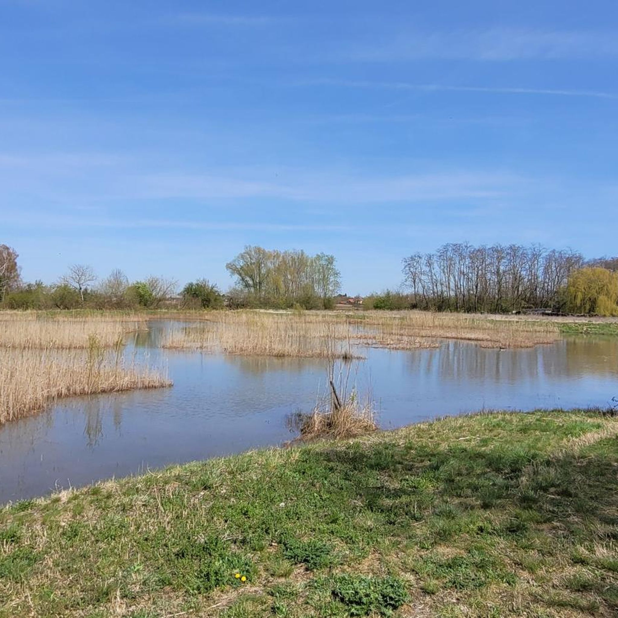
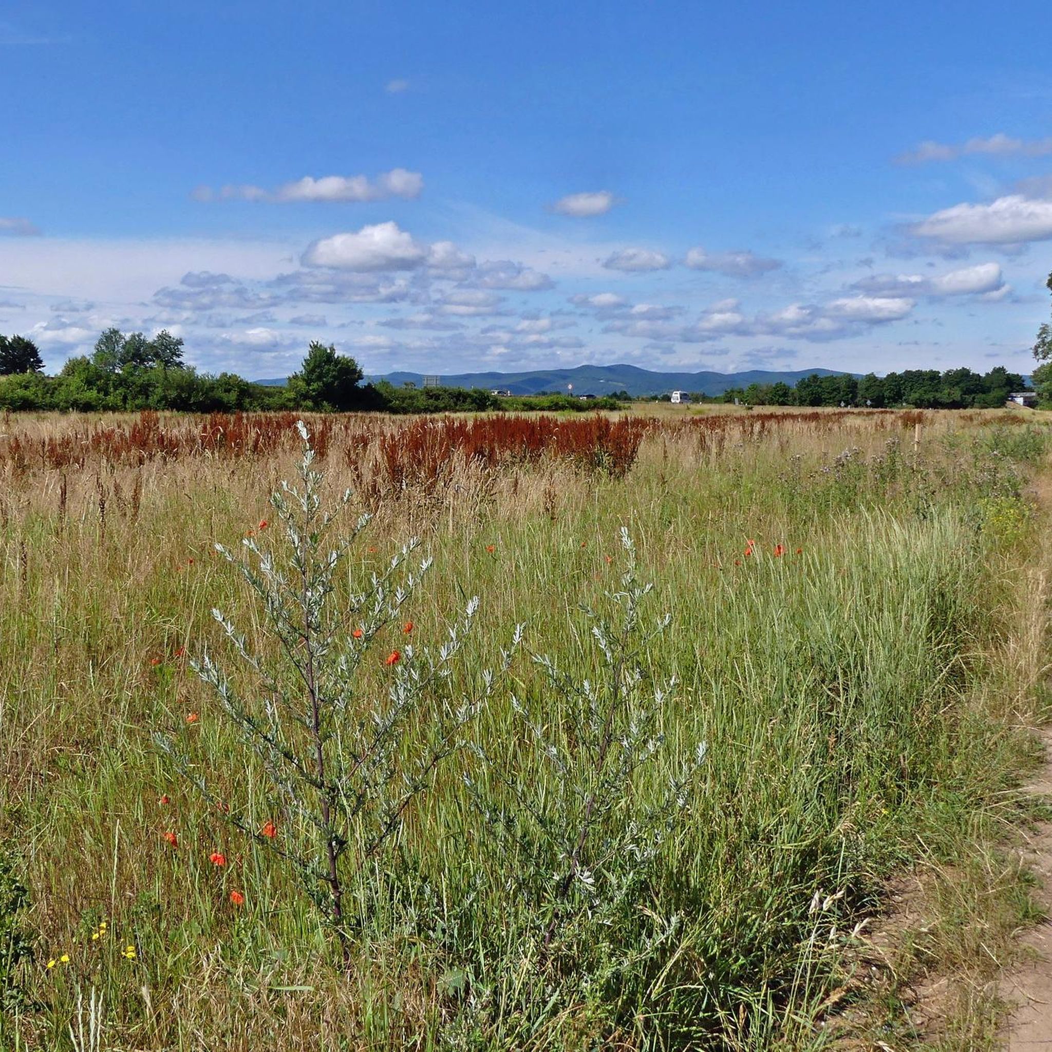
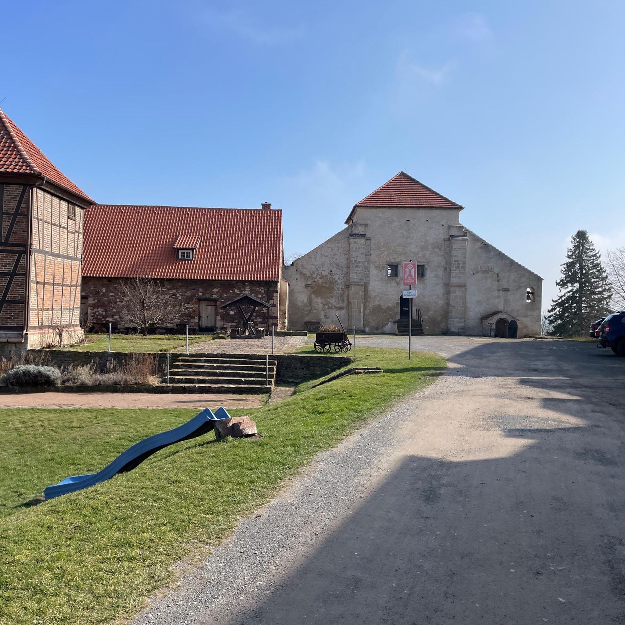
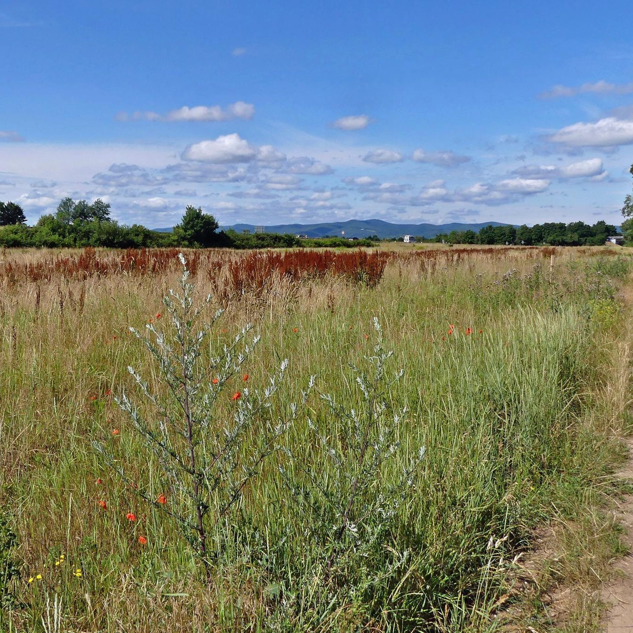
Mountain peaks around Fußgönheim are characterized by the region's flat to gently rolling topography within the Upper Rhine Plain. While Fußgönheim itself has an average elevation of 99 meters, the surrounding area offers elevated viewpoints and hills that provide panoramic vistas. These features, though not high mountains, serve as popular destinations for those seeking views over the Rhine plain and the Palatinate Forest. The highest points in the immediate vicinity are relatively low in elevation, often featuring man-made structures for…
Last updated: July 6, 2026
Devil's Stone (Bad Dürkheim)
Highlight • Natural Monument
"A silent witness still rests on the same spot and alone,
where it fell from the Lord of Hell,
Translated by Google •
Tip by

Flag Tower, Bad Dürkheim
Highlight • Monument
Translated by Google •
Tip by

Sign up now to discover places like this
Get recommendations on the best single tracks, peaks, & plenty of other exciting outdoor places.
Sign up for free
Pine Forest Trail to the Heidenlöcher
Highlight (Segment) • Trail
Translated by Google •
Tip by

Zeppelinturm (Schneckennudel) observation tower
Highlight • Viewpoint
Translated by Google •
Tip by
Michaelsberg (Ludwigshafen)
Highlight • Viewpoint
Translated by Google •
Tip by

Sign up for free to discover even more peaks around Fußgönheim.
Sign up for free
Already have an account?
Start today with a free account
Your next adventure awaits.
Login or Signup
Tips from the Community

A wonderful forest that reminded me in places of campsites in France. 🧑🌾
0
0

The Zeppelin Tower is a viewing platform on the summit (342 m) of the Ebersberg in the Seebach district of the city of Bad Dürkheim. As early as 1854, a tower was built on the mountain, which was named Malakoff Tower after the French statesman and general Pélissier (“Malakoff”; 1794–1864) in memory of the victory in the Crimean War (1853–1856). On August 4, 1908, when Count Ferdinand von Zeppelin (1838–1917) was on a tour of the southwest of the German Empire with his airship, numerous onlookers hiked to the observation tower to see the Zeppelin in the distance. Around 1909 the structure was renamed the Zeppelin Tower to commemorate the Zeppelin flight. In 1974 the tower was renovated by the Palatinate Forest Association (PWV; Seebach local group).
7
1
A very nice piece of forest through the pine forest. Here I have peace for my soul. Beautiful forest floor and good air.
5
0

The Devil's Stone is a 317 m high mountain, on whose summit is the boulder of the same name - approx. 2.50 m high, up to 4 m wide. According to the signs of its use, it was used as a cult object in earlier times. Five steps carved one above the other lead up to a depression that is interpreted as a sacrificial bowl for religious rites of the previous, presumably Celtic users and from which a "blood channel" runs down next to the steps. It can be reached via the Pfälzer Weinsteig premium hiking trail.
11
0

A great path to walk. However, it is not recommended for prams or the like. It's too much over hill and dale for that.
1
0

The stone is a highlight for smaller people to climb. Seating is available
16
1

Just a great, very soft hiking trail
2
0

This is the access route to the Heidenlöchern, if you come from above (i.e. not from the Michaelskapelle). At the beginning you will find a large board (standing desk) with information about the Heidenlöchern and the entire area. - At the end of this passage (coming from above) you have beautiful views of the outer walls of the Heidenlöcher and you enter the Heidenlöcher through the main gate (formerly with a kennel; today with an information board).
6
0
Frequently Asked Questions
What are the most notable elevated viewpoints around Fußgönheim?
While Fußgönheim is in a flat region, there are several elevated viewpoints and low-lying summits that offer panoramic views. The most popular include the Flag Tower, Bad Dürkheim, known for its extensive views over the Rhine plain and the Palatinate Forest, and the Zeppelinturm (Schneckennudel) observation tower, which provides a unique spiral ascent and glimpses of the Limburg monastery ruins.
Are there any family-friendly elevated spots or viewpoints near Fußgönheim?
Yes, several spots are suitable for families. The Zeppelinturm (Schneckennudel) observation tower is considered family-friendly, offering an interesting spiral climb and views. Additionally, Michaelsberg (Ludwigshafen), the highest point of Ludwigshafen, is also noted as family-friendly and provides views of the city and towards the Palatinate.
What kind of views can I expect from these elevated areas?
From these elevated points, you can expect views primarily over the flat Rhine plain, the urban landscape of Ludwigshafen, and towards the distant Palatinate Forest. The Flag Tower, Bad Dürkheim, for instance, offers a wonderful view over the Rhine plain and the Palatinate Forest, including landmarks like Limburg and the Bismarck Tower.
What are the highest points in the immediate vicinity of Fußgönheim?
The highest points in the immediate vicinity are relatively low in elevation. For example, Michaelsberg (Ludwigshafen) and Machmeesberg (125 m) – Highest Point of Ludwigshafen both reach 125 meters above sea level. These are often former rubble mountains or natural elevations that have been repurposed for observation.
What outdoor activities can I do near these elevated viewpoints?
The region around Fußgönheim offers various outdoor activities, particularly cycling and hiking. You can find numerous routes for road cycling, touring bicycles, and hiking. For example, there are easy hiking loops like the Rohrlachweiher loop, or moderate cycling routes such as the 'View of the Palatinate Forest – Path Along the Levee' loop. You can explore more options on the Hiking around Fußgönheim or Cycling around Fußgönheim guide pages.
Are there any historical sites associated with these elevated areas?
Yes, some of these elevated points have historical significance. The Zeppelinturm (Schneckennudel) observation tower, for instance, is located on the Ebersberg, where Celts from the Limburg mountain buried their dead. The tower itself was rebuilt in 1974 and is also known as the 'Zeppelin Tower' due to a historic airship sighting.
What do visitors particularly enjoy about the elevated spots around Fußgönheim?
Visitors appreciate the panoramic views these spots offer, especially over the Rhine plain and the Palatinate Forest. The unique architecture of structures like the Zeppelinturm (Schneckennudel) observation tower with its spiral ascent is also a highlight. Many enjoy these locations as destinations for excursions on foot or by bike, often combining them with nearby natural features like lakes.
Can I find trails for mountain biking near these elevated areas?
While the region is generally flat, some areas like the Ebersberg Summit and Schneckennudel Trail offer paths that can be ridden on an MTB. The 'snail noodle' section is noted as fun and easy for mountain biking, with options for both easy and somewhat steeper descents from the summit.
What is the best time to visit these viewpoints for clear visibility?
For the best visibility, it's generally advisable to visit on clear days, especially after rain when the air is often clearer. Early mornings or late afternoons can also offer beautiful light for photography, particularly at sunset, as noted for the Zeppelinturm (Schneckennudel) observation tower.
Are there any specific landmarks visible from these elevated points?
From various viewpoints, you can often see significant landmarks. The Flag Tower, Bad Dürkheim, provides views of the Limburg monastery and the Bismarck Tower. From Michaelsberg (Ludwigshafen), you can overlook Ludwigshafen and its suburbs.
What is the nature of the 'mountain peaks' in the Fußgönheim area?
The 'mountain peaks' in the Fußgönheim area are not traditional high mountains but rather elevated viewpoints, low-lying summits, and man-made observation towers. The region is characterized by its flat to gently rolling topography within the Upper Rhine Plain. These spots offer higher perspectives to appreciate the local landscape.
Most popular routes around Fußgönheim
Most popular attractions around Fußgönheim

Get inspired with the komoot mobile app


Explore more
See even more amazing summits around Fußgönheim with these guides:
