The best walks and hikes in Krajnianska Hora
4.0
(2)
59
hikers
5
hikes
Hiking in Krajnianska Hora offers trails through a beautiful forest landscape within the okres Myjava region. The terrain is characterized by rolling hills and woodlands, providing varied paths for outdoor enthusiasts. Elevations are generally moderate, making the area accessible for different hiking abilities.
Best hiking trails in Krajnianska Hora
- The most popular hiking route is Myjava Bus Stop (Pod Fabrikou) loop from Myjava, a 2.2 miles (3.5 km) trail that takes 55 minutes to complete. This easy path explores…
Last updated: July 2, 2026
3
hikers
3.52km
00:55
30m
30m
Easy hike. Great for any fitness level. Easily-accessible paths. Suitable for all skill levels.
3.0
(1)
4
hikers
10.3km
02:43
100m
100m
Moderate hike. Good fitness required. Easily-accessible paths. Suitable for all skill levels.

Sign up for free
13
hikers
Moderate hike. Good fitness required. Easily-accessible paths. Suitable for all skill levels.
7
hikers
9.32km
02:39
220m
220m
Moderate hike. Good fitness required. Easily-accessible paths. Suitable for all skill levels.
5
hikers
6.19km
01:46
150m
150m
Easy hike. Great for any fitness level. Easily-accessible paths. Suitable for all skill levels.
Our route recommendations are based on thousands of hikes, rides, and runs completed by other people on komoot.
Start today with a free account
Your next adventure awaits.
Login or Signup
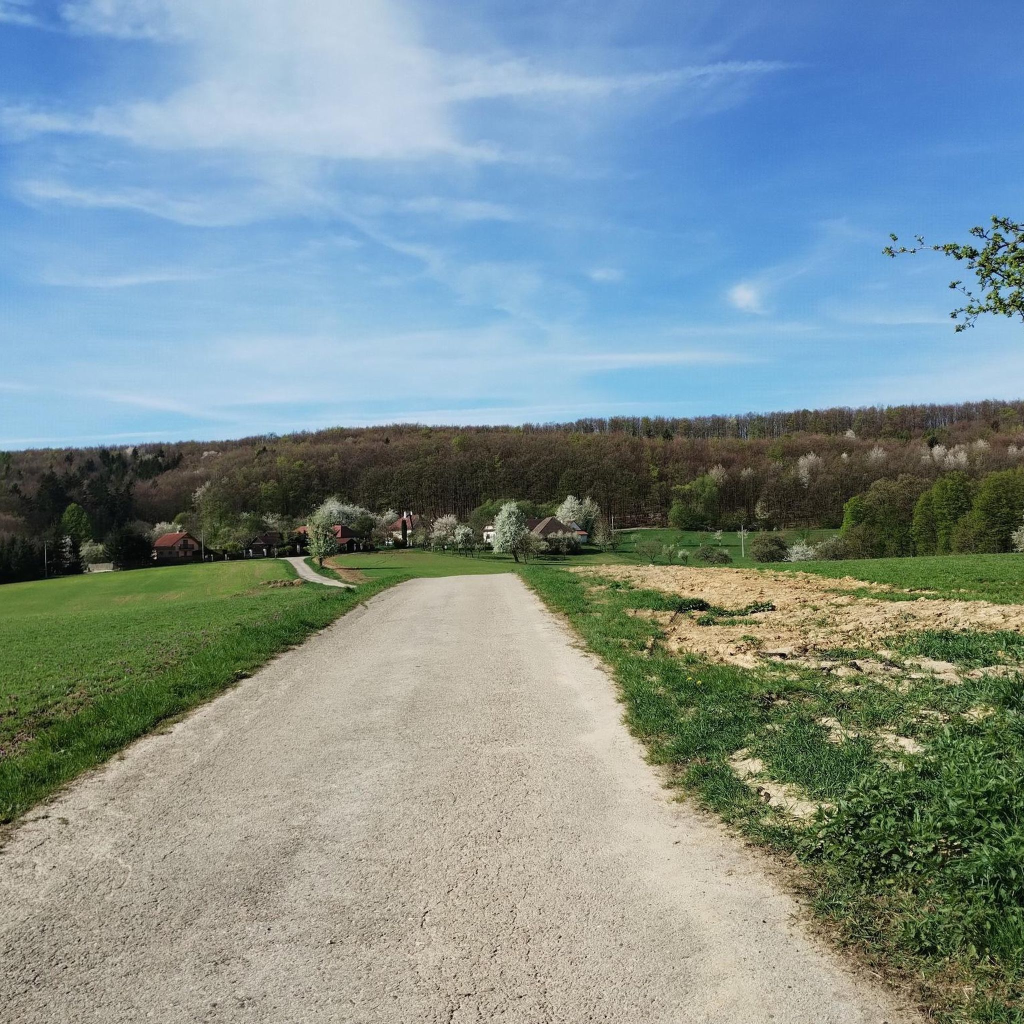
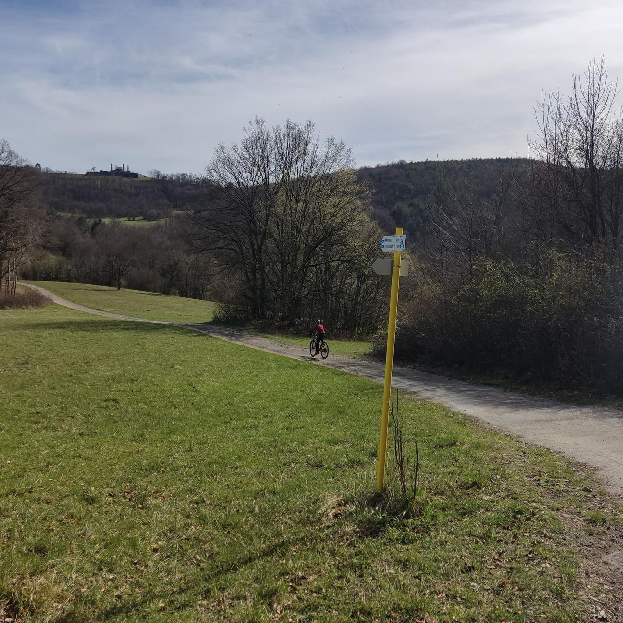
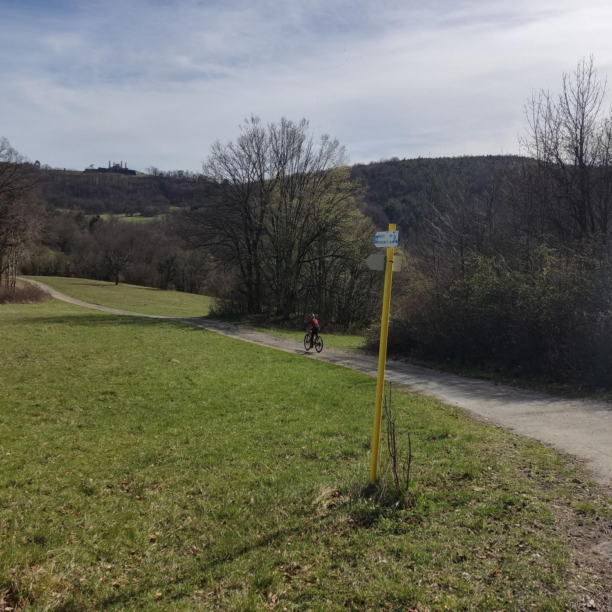
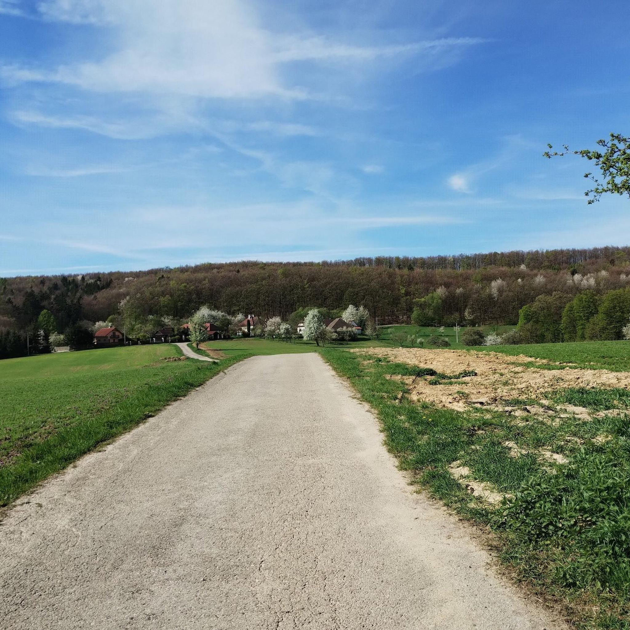
Tips from the Community

Milan Rastislav Štefánik Hill is located on Bradlo Hill, which rises at an altitude of 543 m between the town of Brezová pod Bradlom and the village of Košariská. The hill is 96 m long and 70 m wide. Its lower terrace, which measures 93 mx 62 m and has two stairs, is closed off in the corners by fire chambers. On the upper terrace, which is 45 mx 32 m in size and also has two stairs, there are four 12.5 m high obelisks. The obelisks symbolize the four victims of the plane crash and at the same time the four countries in which Štefánik was active. The top of the hill is formed by a grave (tombstone) and there are inscriptions on its sides.
0
0
Milan Rastislav Štefánik Hill is located on Bradlo Hill, which rises at an altitude of 543 m between the town of Brezová pod Bradlom and the village of Košariská. The hill is 96 m long and 70 m wide. Its lower terrace, which measures 93 mx 62 m and has two stairs, is closed off in the corners by fire chambers. On the upper terrace, which is 45 mx 32 m in size and also has two stairs, there are four 12.5 m high obelisks. The obelisks symbolize the four victims of the plane crash and at the same time the four countries in which Štefánik was active. The top of the hill is formed by a grave (tombstone) and there are inscriptions on its sides
1
0
Frequently Asked Questions
How many hiking trails are available in Krajnianska Hora?
Krajnianska Hora offers a selection of 5 hiking trails, ranging from easy strolls to more moderate excursions through its forested landscape.
Are there easy hiking trails suitable for beginners in Krajnianska Hora?
Yes, Krajnianska Hora has 2 easy hiking trails perfect for beginners. An excellent option is the Myjava Bus Stop (Pod Fabrikou) loop from Myjava, which is 2.2 miles (3.5 km) long and explores the local forest surroundings.
What kind of terrain can I expect on hikes in Krajnianska Hora?
The terrain in Krajnianska Hora is characterized by rolling hills and dense woodlands. You can expect varied paths that offer a peaceful outdoor experience with generally moderate elevations.
Are there any longer hiking routes for more experienced hikers?
For those seeking a longer journey, Krajnianska Hora offers 3 moderate trails. The Hiking loop from Myjava is a popular choice, covering 6.4 miles (10.3 km) through the region's forested hills.
Can I find circular hiking routes in Krajnianska Hora?
Yes, many of the trails in Krajnianska Hora are designed as loops. For example, the Church of the Holy Trinity – Cemetery Brezová pod Bradlom loop from Brezová pod Bradlom is a 4.2 miles (6.8 km) circular trail that takes you through forested areas and past local landmarks.
What do other hikers say about the trails in Krajnianska Hora?
The trails in Krajnianska Hora are highly rated by the komoot community, with an average score of 4.0 stars from 2 reviews. Hikers often praise the peaceful atmosphere and the beauty of the forested landscapes.
Are the hiking trails in Krajnianska Hora suitable for families?
Absolutely. With 2 easy trails and generally gentle hills, Krajnianska Hora is well-suited for family outings. The shorter, less strenuous routes provide a great way for families to enjoy nature together.
Can I bring my dog on the hiking trails in Krajnianska Hora?
While specific regulations for dogs may vary, generally, trails in natural areas like Krajnianska Hora's woodlands are dog-friendly. It's always recommended to keep your dog on a leash and clean up after them to ensure a pleasant experience for everyone.
What is the typical duration of hikes in Krajnianska Hora?
Hikes in Krajnianska Hora vary in duration. Shorter, easy trails like the Myjava Bus Stop (Pod Fabrikou) loop from Myjava can be completed in under an hour, while moderate routes such as the Church of the Holy Trinity – Cemetery Brezová pod Bradlom loop from Brezová pod Bradlom typically take around 2 hours.
Are there any viewpoints or scenic spots along the trails?
Yes, some trails offer scenic points. For instance, the Orlie Skaly Viewpoint – Starý Chrip Forest loop from Chríb includes the Orlie Skaly Viewpoint, providing opportunities to enjoy the surrounding landscape.
What is the best time of year to go hiking in Krajnianska Hora?
Given its rolling hills and woodlands, Krajnianska Hora is enjoyable for hiking throughout much of the year. Spring and autumn offer pleasant temperatures and beautiful foliage, while summer provides lush greenery. Winter hiking is also possible, though conditions may require appropriate gear.
Is parking available near the trailheads in Krajnianska Hora?
While specific parking information for each trailhead isn't always detailed, routes often start from towns or accessible points like Myjava, suggesting that local parking options are generally available. It's advisable to check local signage or community information for the most convenient spots.
Most popular routes in Krajnianska Hora

Get inspired with the komoot mobile app


