The best mountain hikes in Bruckbachholz
4.9
(8)
99
hikers
21
hikes
Mountaineering routes in Bruckbachholz traverse a landscape characterized by forested hills and prominent summits, offering varied terrain for outdoor exploration. The region features several notable peaks and viewpoints, providing opportunities for ascents and panoramic vistas. These routes often lead through natural park areas, showcasing the local flora and fauna. The topography includes both moderate climbs and more challenging ascents, catering to different skill levels.
Best mountaineering routes in Bruckbachholz
- The most popular mountaineering route is Breitenauriegel Summit – Geißkopf Summit…
Last updated: October 9, 2026
4
hikers
16.0km
05:07
550m
550m
Hard mountaineering route. Very good fitness required. Mostly accessible paths. Sure-footedness required.
8
hikers
Moderate mountaineering route. Good fitness required. Mostly accessible paths. Sure-footedness required.

6
hikers
Moderate mountaineering route. Good fitness required. Mostly accessible paths. Sure-footedness required.
5.0
(1)
8
hikers
Moderate mountaineering route. Great for any fitness level. Mostly accessible paths. Sure-footedness required.
7
hikers
Hard mountaineering route. Good fitness required. Sure-footedness, sturdy shoes and alpine experience required.
Get access to more routes and recommendations from other explorers.
Already have an account?
Our route recommendations are based on thousands of hikes, rides, and runs completed by other people on komoot.
Start today with a free account
Your next adventure awaits.
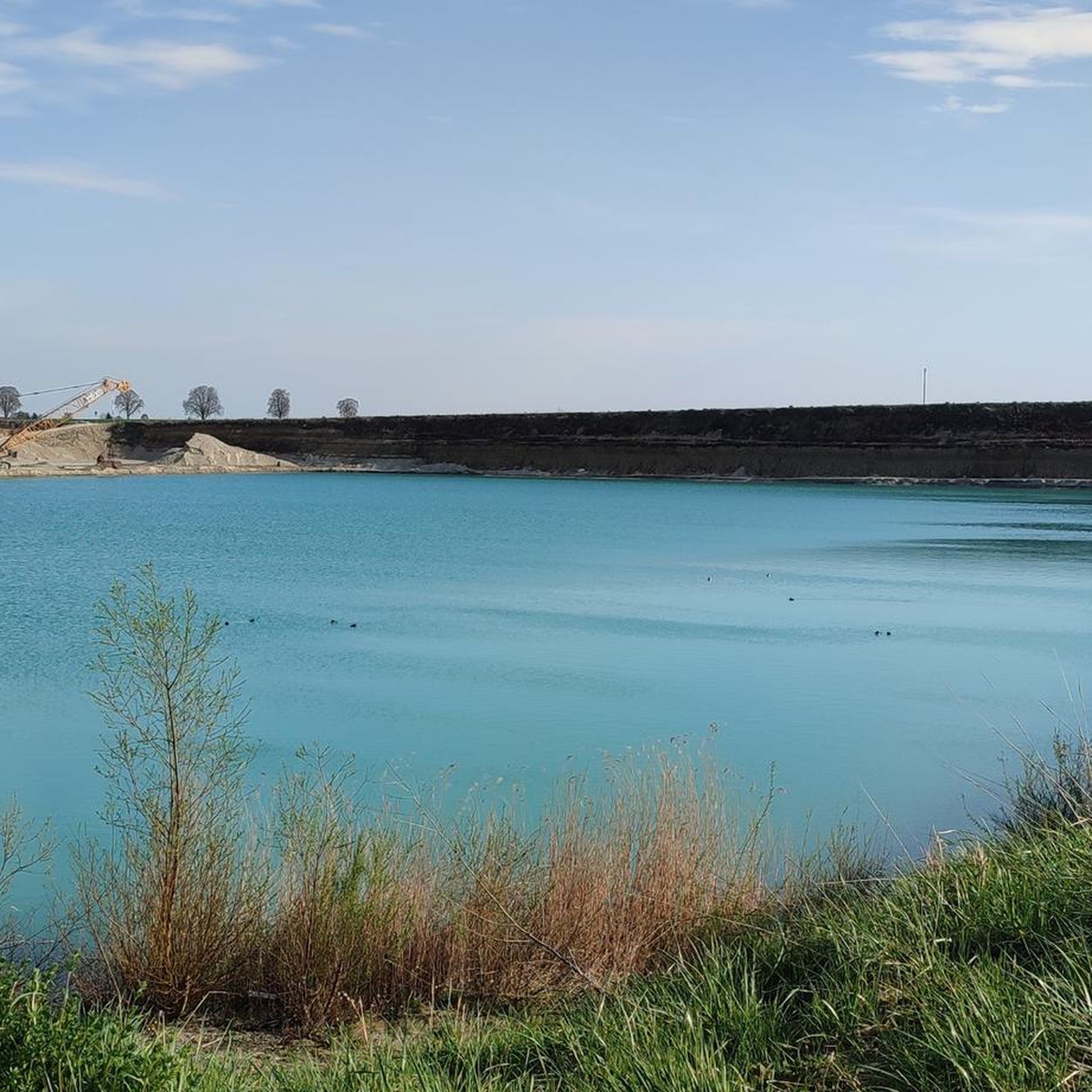
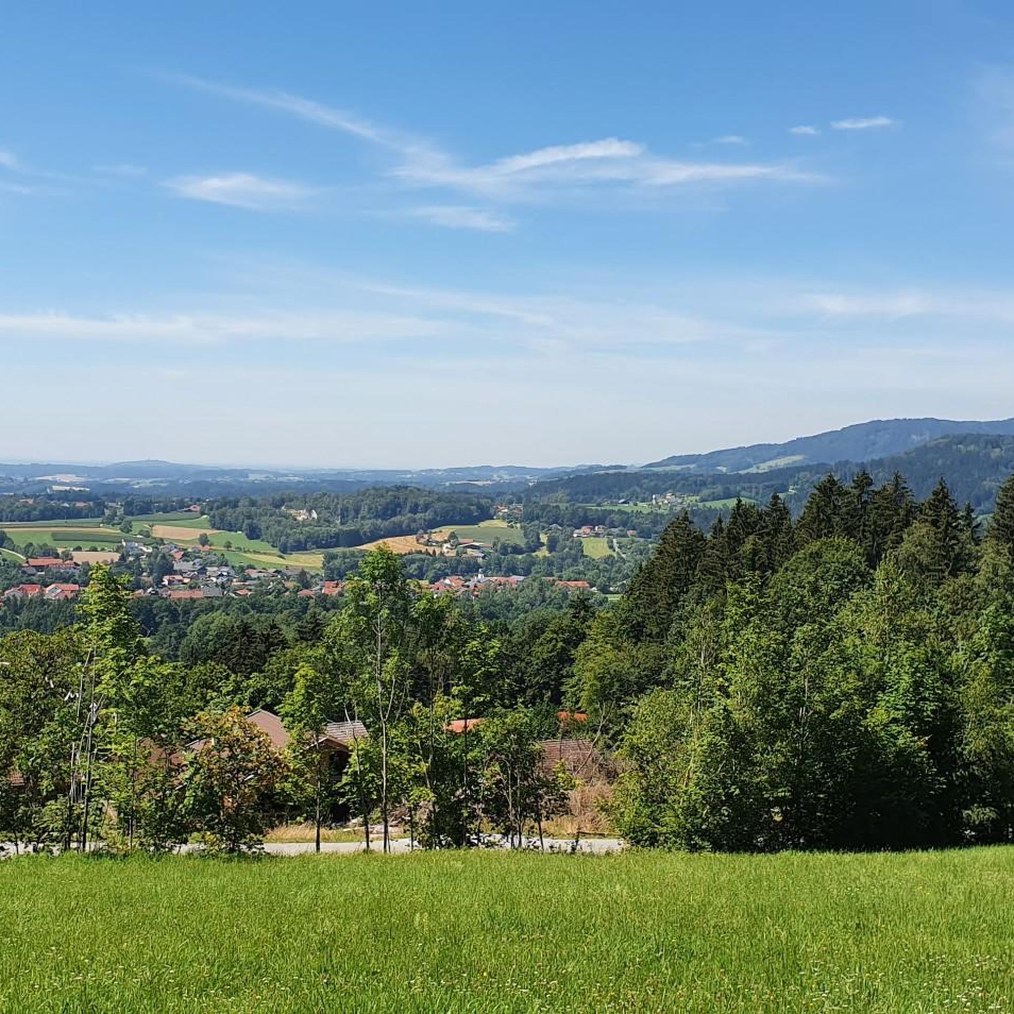
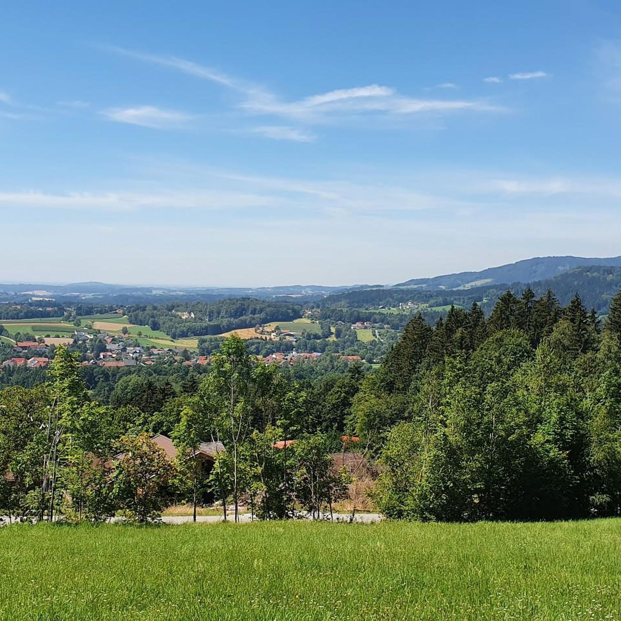
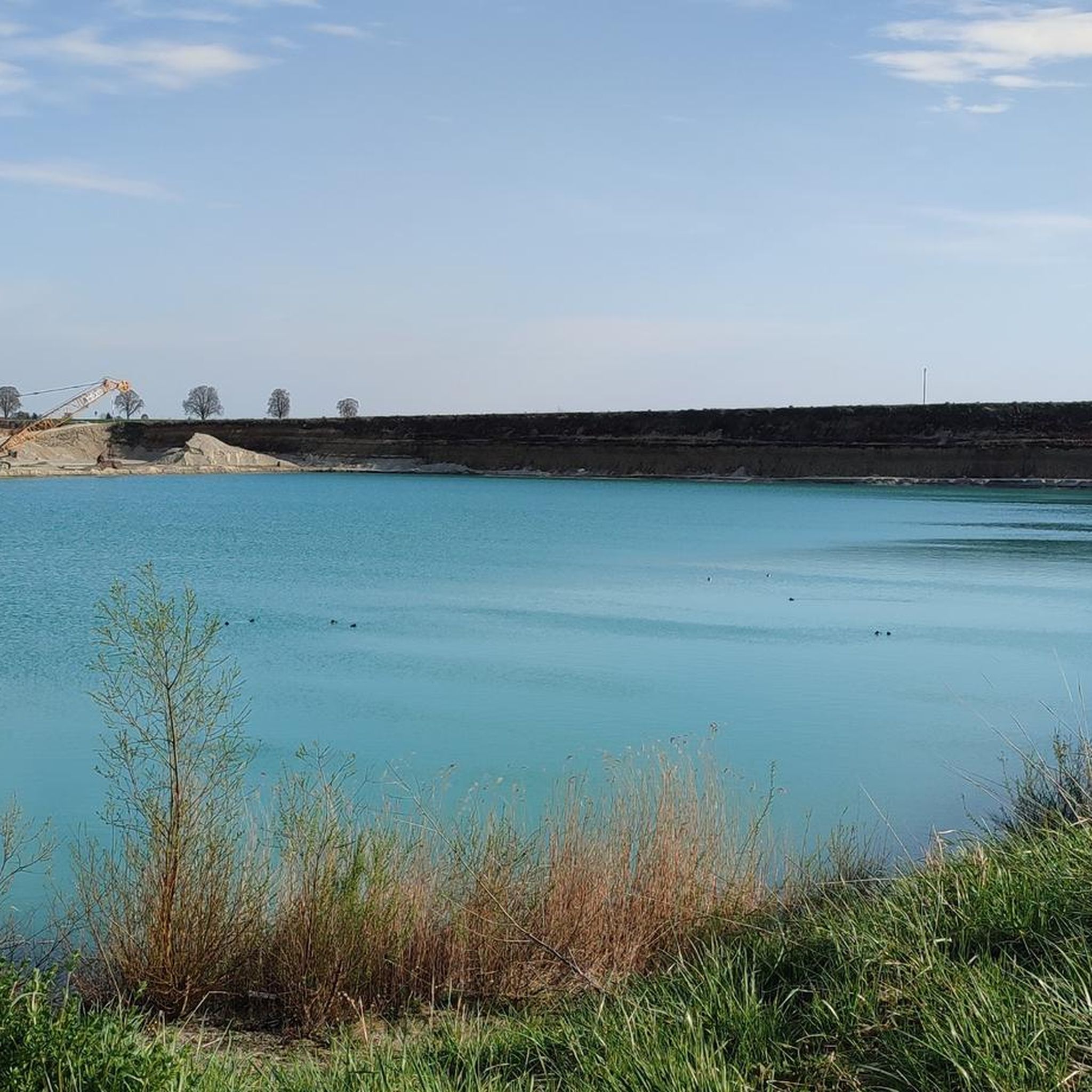
Tips from the Community

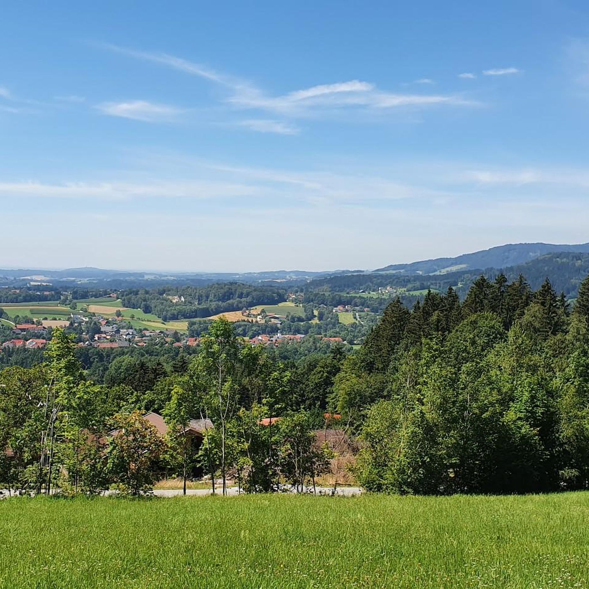
Beautiful viewpoint with a view into the Danube plain.
1
0

There are plenty of parking spaces, so it's a good starting point for a hike in the Bavarian Forest.
5
0

In winter, Kalteck was a local ski resort with two drag lifts operating on three ski slopes.
2
0
Small "rocky" shelter between Rauhen Kulm and Klausenstein.
3
0


If the weather is good, there is a great view of the region. Partly steep climb from Böbrach.
0
0

Short, rocky, steep climb that is rewarded with the very beautiful cross (and a bench to rest or have a snack) :)
2
0

The hiking car park is free, but fills up quickly when the weather is nice.
0
0
Frequently Asked Questions
What kind of mountaineering routes can I expect in Bruckbachholz?
Bruckbachholz offers a diverse range of mountaineering routes, primarily characterized by forested hills and prominent summits. You'll find paths leading through natural park areas, providing opportunities for both moderate climbs and more challenging ascents. The region is known for its scenic viewpoints and varied terrain.
Are there any family-friendly mountaineering routes in Bruckbachholz?
While many routes in Bruckbachholz are moderate to difficult, some shorter, less strenuous options can be suitable for families. For instance, the Dreitannenriegel Summit – Dreitannenriegel Summit Cross loop from Schwallwiese is a moderate 5.2 km trail that can be completed in about 2 hours, offering a rewarding summit experience without excessive difficulty. Always check the route details for elevation gain and terrain to ensure it matches your family's capabilities.
What are the options for beginner mountaineers in Bruckbachholz?
Beginners can find suitable routes among the 19 moderate trails available. A good starting point could be the Kalteck Ski Lift – Rauher Kulm Viewpoint loop from Naturpark Bayerischer Wald, which is a moderate 5.5 km route. These trails generally offer manageable ascents and clear paths, allowing you to build confidence and enjoy the scenery.
Are there challenging routes for experienced mountaineers?
Yes, Bruckbachholz features several challenging routes for experienced mountaineers. There are 4 difficult routes in the region. A notable option is the Breitenauriegel Summit – Geißkopf Summit and Bike Park loop from Rohrmünz, a demanding 16 km trail that takes over 5 hours to complete, connecting two summits and passing through varied terrain.
What is the best time of year for mountaineering in Bruckbachholz?
The best time for mountaineering in Bruckbachholz is typically from late spring to early autumn (May to October), when the weather is generally mild, and trails are clear of snow. During these months, you can fully enjoy the forested landscapes and panoramic views from the summits. Always check local weather forecasts before heading out.
Are there any circular mountaineering routes in the area?
Many of the mountaineering routes in Bruckbachholz are designed as loops, allowing you to start and end at the same point. Examples include the Klausenstein Summit Cross – Hirschenstein loop from Naturpark Bayerischer Wald, a moderate 9.4 km trail, and the Klausenstein Summit Cross – Burgstein summit cross loop from Naturpark Bayerischer Wald, a difficult 7.1 km option.
What interesting landmarks or natural features can I see along the routes?
Bruckbachholz offers several points of interest. You might encounter the Via Nova Memorial, or explore the natural beauty of the Deggendorfer Himmelreich Nature Reserve. Some routes also pass by unique features like the 25% Gradient on Gravel Road, adding an extra element of interest to your hike.
What do other mountaineers enjoy most about the routes in Bruckbachholz?
The mountaineering routes in Bruckbachholz are highly rated by the komoot community, with an average score of 5.0 stars. Reviewers often praise the region's prominent summits, scenic viewpoints, and the diverse terrain that makes each route engaging. The presence of natural park areas also contributes to a rewarding outdoor experience.
Is parking available near the trailheads in Bruckbachholz?
While specific parking information for each trailhead isn't always detailed, many popular mountaineering routes in regions like Bruckbachholz typically have designated parking areas at or near their starting points, especially those originating from natural park entrances or villages. It's advisable to check the individual route descriptions on komoot for precise parking details before your trip.
Are there any cafes or refreshment stops along the mountaineering trails?
The availability of cafes or refreshment stops directly on the trails can vary. Some longer routes, especially those passing through or near villages or popular tourist spots, might have options. For example, routes connecting to areas like the Geißkopf Bike Park might offer facilities. It's always a good idea to carry sufficient water and snacks, and to check the route map for any potential stops beforehand.
Can I expect to see wildlife while mountaineering in Bruckbachholz?
As many routes traverse forested areas and natural parks, there is a good chance of encountering local wildlife. Keep an eye out for various bird species, deer, and other forest inhabitants. Maintaining a respectful distance and keeping noise levels down will increase your chances of observing animals in their natural habitat.
Most popular routes in Bruckbachholz
Most popular attractions in Bruckbachholz

Get inspired with the komoot mobile app


Explore more
Browse the best Mountain Hikes & Routes in other regions.
