The best walks and hikes in Im Biendl
4.6
(4870)
21,733
hikers
15
hikes
Hiking in Im Biendl offers a network of trails primarily located within a forest setting near Deggendorf. The region is characterized by rolling hills, such as Schützinger Berg, Irlberg, and Ledersberg, providing varied elevation changes for hikers. Trails often lead through wooded areas and open landscapes, with some routes offering panoramic views from higher points. The terrain includes both gentle paths and more moderate ascents.
Best hiking trails in Im Biendl
- The most popular hiking route is View of Schützing…
Last updated: June 26, 2026
4.6
(9)
26
hikers
Moderate hike. Good fitness required. Easily-accessible paths. Suitable for all skill levels.
5.0
(1)
9
hikers
5.00km
01:25
120m
110m
Easy hike. Great for any fitness level. Easily-accessible paths. Suitable for all skill levels.

Sign up for free
5.0
(1)
5
hikers
3.45km
00:55
30m
30m
Easy hike. Great for any fitness level. Easily-accessible paths. Suitable for all skill levels.
3.0
(1)
2
hikers
5.55km
01:35
130m
130m
Easy hike. Great for any fitness level. Easily-accessible paths. Suitable for all skill levels.
4
hikers
6.40km
01:49
140m
150m
Easy hike. Great for any fitness level. Easily-accessible paths. Suitable for all skill levels.
Get access to more routes and recommendations from other explorers.
Sign up for free
Already have an account?
Our route recommendations are based on thousands of hikes, rides, and runs completed by other people on komoot.
Start today with a free account
Your next adventure awaits.
Login or Signup
Tips from the Community

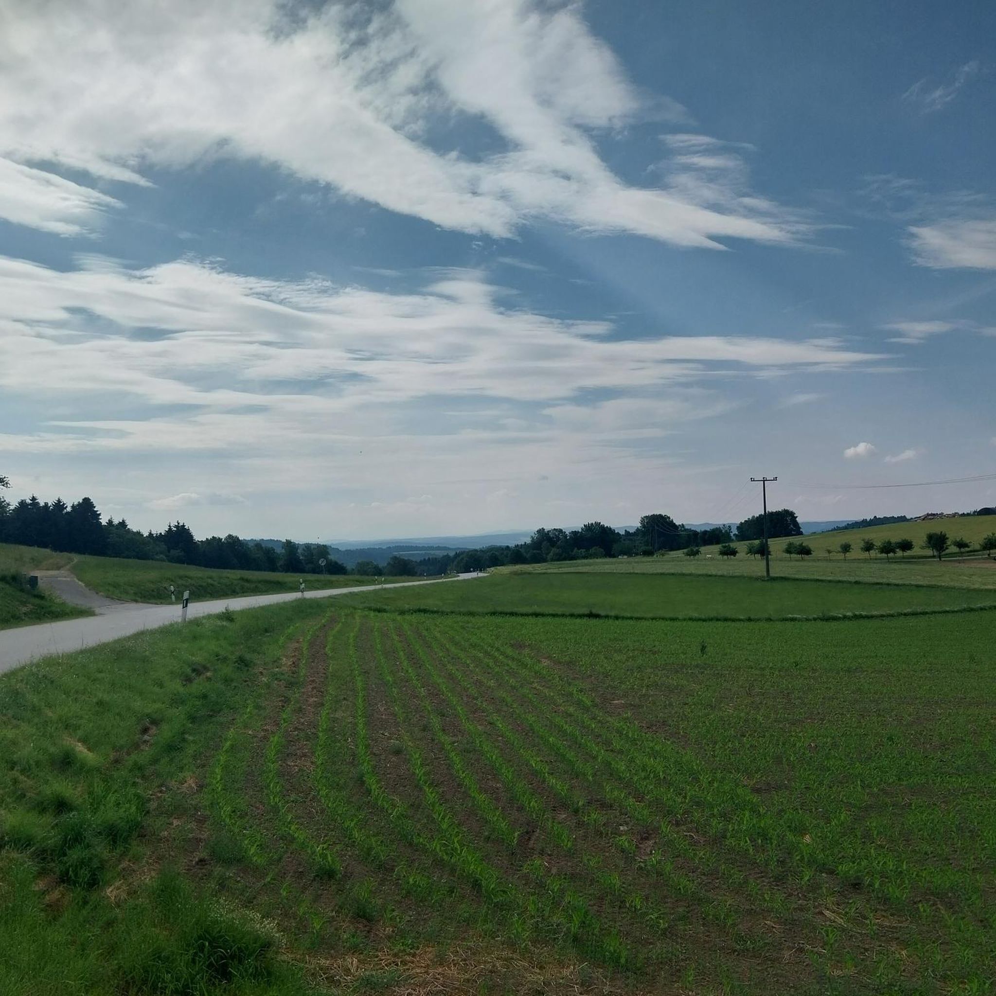
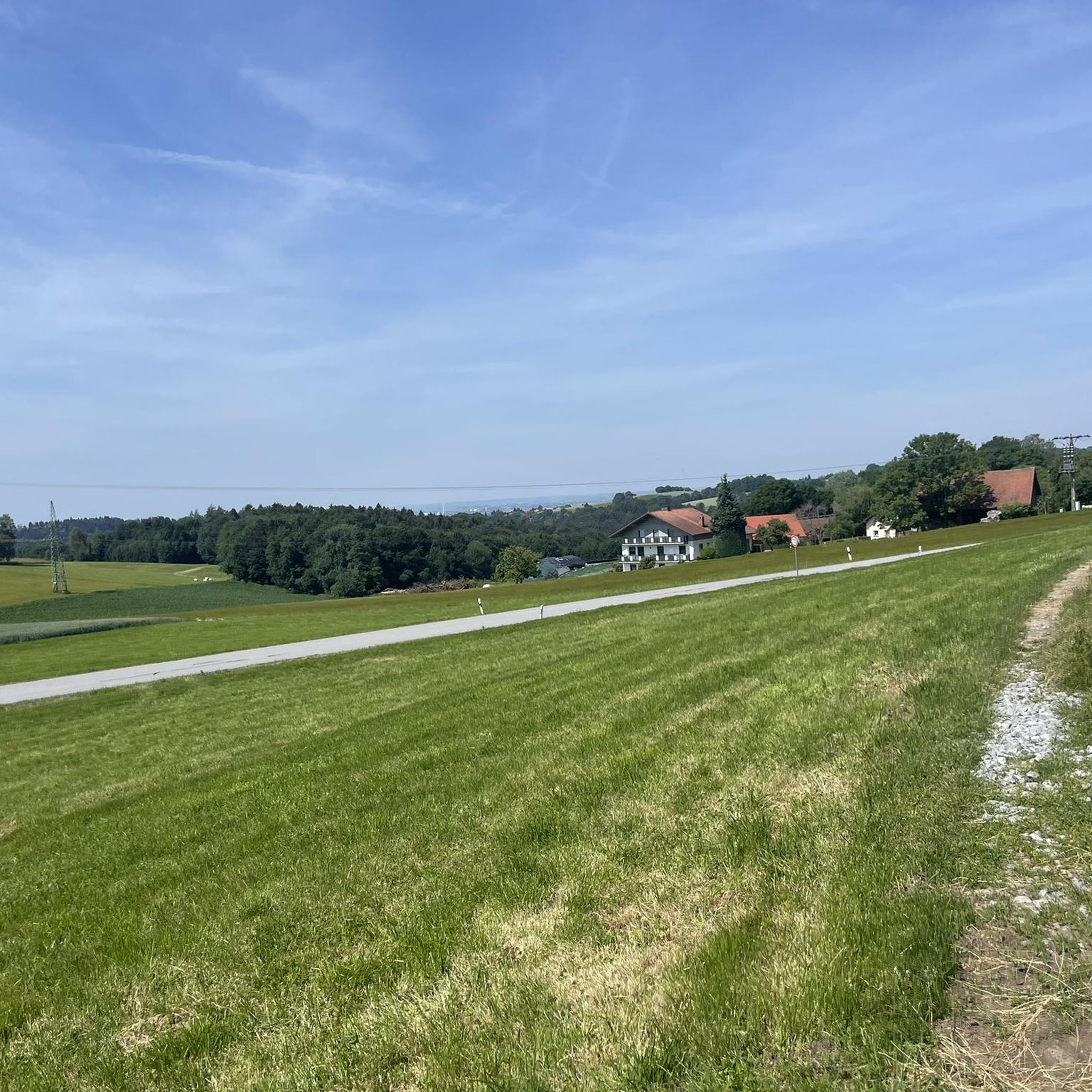
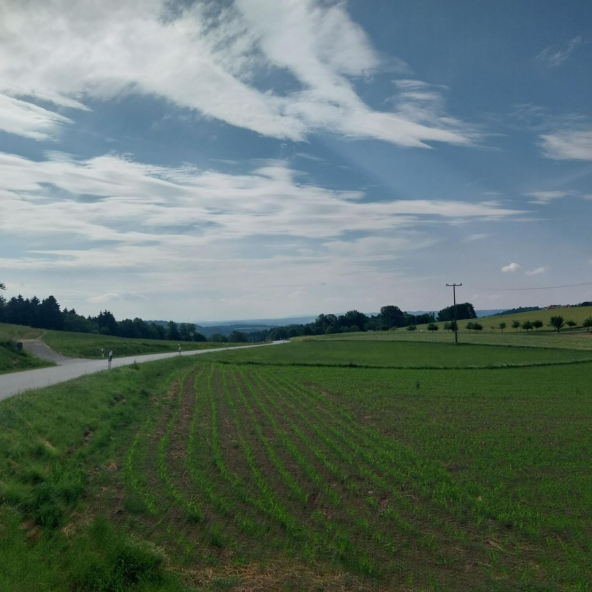
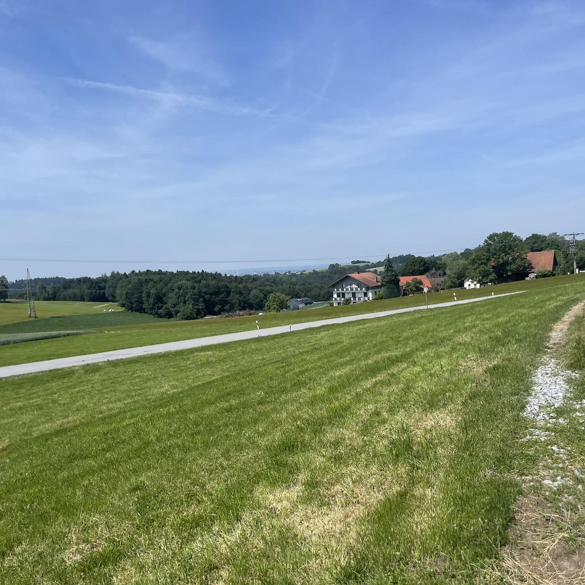
Beautiful view of the mountains of the northern Bavarian Forest.
4
0
Today I was lucky and could see the Alps on the distant horizon.
4
0
A good place to get ideas for new hikes.
4
0
In honor of Brother Conrad. Conrad of Parzham OFMCap (born Johannes Evangelist Birndorfer on December 22, 1818, in Parzham, parish of Weng near Bad Griesbach im Rottal; died April 21, 1894, in Altötting) was a lay brother of the Capuchin Order. He was canonized in 1934. Source: https://de.wikipedia.org/wiki/Konrad_von_Parzham
4
0
Particularly old and large trees can be found here.
4
0
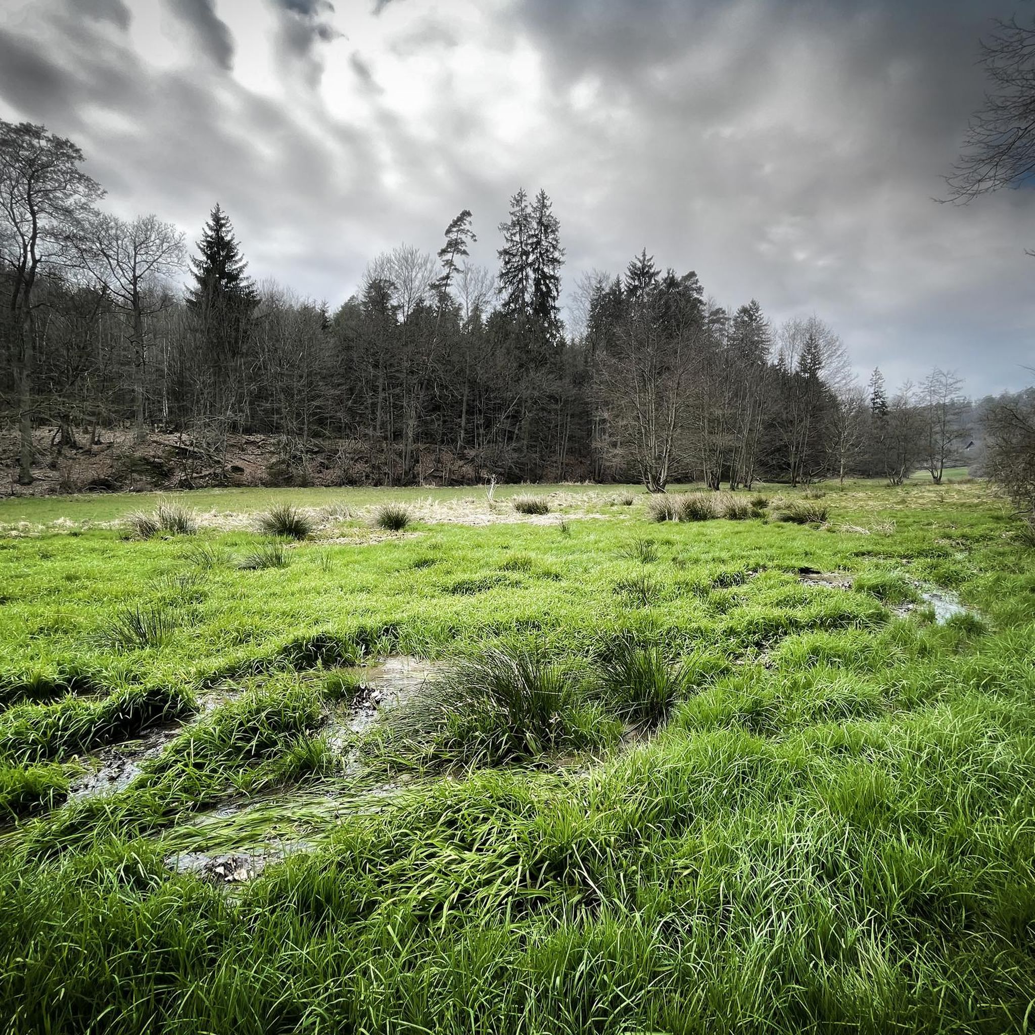
Idyllic and magical. A murmuring stream trickles by.
4
0
A natural summit with a great cross and a shelter.
4
0
Frequently Asked Questions
How many hiking trails are available in Im Biendl?
There are 15 hiking routes in Im Biendl, offering a variety of experiences from easy walks to moderate ascents through forested areas and rolling hills.
Are there easy hiking trails in Im Biendl suitable for beginners or casual walkers?
Yes, Im Biendl features 10 easy hiking routes. An example is the Alpakahof Sicking loop from Unterfrohnstetten, an easy 3.1-mile (5.0 km) path that winds through rural areas, offering a peaceful walking experience.
What kind of landscapes can I expect to see while hiking in Im Biendl?
Hiking in Im Biendl primarily takes you through a forest setting near Deggendorf, characterized by rolling hills like Schützinger Berg, Irlberg, and Ledersberg. You'll find a mix of wooded areas and open landscapes, with some routes providing panoramic views from higher points.
Are there any viewpoints or notable landmarks along the trails in Im Biendl?
Yes, several routes offer interesting sights. You can find the Schützinger Berg Summit Cross and enjoy the View of Schützing and Rusel. Other unique points of interest include the Reichsautobahn ruins near Klessing and the Reichsautobahn Bridge in Naturpark Bayerischer Wald.
Are there any circular hiking routes in Im Biendl?
Many of the trails in Im Biendl are designed as loops. For instance, the Narrow Path Below Irlberg – Ledersberg loop from Seebach is a 2.1-mile (3.4 km) trail that leads through forested hills, perfect for a round trip.
What do other hikers say about the trails in Im Biendl?
The routes in Im Biendl are highly rated by the komoot community, with an average score of 4.5 stars from over 1800 reviews. Hikers often praise the varied terrain, the quiet woodlands, and the well-maintained paths.
How long do hikes in Im Biendl typically take?
Hike durations vary depending on the route and your pace. Shorter, easy trails like the Narrow Path Below Irlberg – Ledersberg loop from Seebach can be completed in under an hour, while moderate routes such as the View of Schützing and Rusel – Schützinger Berg Summit Cross loop from Kanzel might take around 3 hours and 16 minutes.
Are there any facilities or places to rest along the hiking trails?
Yes, some routes offer convenient stops. For example, the Wegbier & Wegwein Rest Stop on the Klessingrunde provides a place to pause and refresh during your hike.
Are there any advanced or difficult hiking routes in Im Biendl?
The trails in Im Biendl are generally categorized as easy to moderate. There are no routes specifically designated as 'difficult,' making the area accessible for a wide range of hikers looking for enjoyable walks and moderate ascents.
What is the best season for hiking in Im Biendl?
While specific seasonal data isn't available, the forested and rolling hill landscape of Im Biendl typically offers pleasant hiking conditions from spring through autumn. Spring brings blooming nature, summer provides shade in the woods, and autumn showcases vibrant foliage. Winter hiking may be possible, but conditions can vary.
Can I find less crowded hiking options in Im Biendl?
Given the network of trails and the focus on natural settings, it's often possible to find quieter paths, especially during off-peak hours or by exploring some of the lesser-known easy routes. The area generally offers a peaceful outdoor experience.
Most popular routes in Im Biendl
Most popular attractions in Im Biendl

Get inspired with the komoot mobile app


Explore more
Browse the best Hikes in other regions.
