The best running trails in Kreuther Forst
4.4
(1268)
36,588
runners
1,145
runs
Jogging in Kreuther Forst offers access to a predominantly wooded and uninhabited area spanning 7.70 km² in the Regensburg district of Oberpfalz, Germany. This region is characterized by extensive woodlands and a diverse network of trails, providing a natural setting for running. The terrain varies, with options ranging from relatively flat paths to routes with moderate elevation changes, suitable for different fitness levels.
Best jogging routes in Kreuther Forst
- The most popular jogging route is Elevated Path – View of Hohe Linie loop from Vorwerk, a 5.9 miles (9.5 km) trail that takes about 1 hour 1 minute to complete. This route offers elevated perspectives with views of Hohe Linie.
- Another top favourite among local runners is Chinese Tower, Donaustauf – View of the Walhalla loop from Tegernheim, a difficult 9.9 miles (15.9 km) path. This route explores the area around the Chinese Tower and offers views towards the Walhalla Memorial.
- Local runners also love the View of Hohe Linie – View of Keilstein loop from Am Keilstein, a 6.5 miles (10.5 km) trail leading through varied terrain, often completed in about 1 hour 5 minutes.
- Jogging in Kreuther Forst is defined by extensive woodlands, varied terrain, and water features like Silberweiher and Otterbach Stream. The network offers options for easy, moderate, and difficult routes, catering to different ability levels.
- The routes in Kreuther Forst are highly rated by the komoot community with an average score of 4.4 stars from over 1,200 reviews. More than 37,000 runners have used komoot to explore Kreuther Forst's varied terrain.
Last updated: June 27, 2026
5.0
(2)
77
runners
8.77km
00:59
80m
80m
Moderate run. Good fitness required. Mostly paved surfaces. Suitable for all skill levels.
5.0
(1)
56
runners
6.53km
00:41
30m
30m
Moderate run. Good fitness required. Mostly paved surfaces. Suitable for all skill levels.

Sign up for free
5.0
(2)
43
runners
17.8km
02:02
320m
320m
Hard run. Very good fitness required. Sure-footedness, sturdy shoes and alpine experience required.
5.0
(2)
46
runners
13.8km
01:27
130m
130m
Moderate run. Good fitness required. Mostly paved surfaces. Suitable for all skill levels.
5.0
(1)
39
runners
10.1km
01:04
110m
110m
Moderate run. Good fitness required. Mostly paved surfaces. Suitable for all skill levels.
Get access to more routes and recommendations from other explorers.
Sign up for free
Already have an account?
Our route recommendations are based on thousands of hikes, rides, and runs completed by other people on komoot.
Start today with a free account
Your next adventure awaits.
Login or Signup

Other adventures in Kreuther Forst

Tips from the Community

The former railway line in Wenzenbach is part of the former secondary line Regensburg–Falkenstein (also known as „Falkensteiner Bockerl“). Passenger traffic on the line was discontinued in 1984, and the entire operation ended in 1985. Today, the largely gradient-free route has been developed into a popular cycle path.
2
0
The former railway line in Wenzenbach is part of the former Regensburg–Falkenstein branch line (also known as „Falkensteiner Bockerl“). Passenger traffic on the line was discontinued in 1984, and overall operation ended in 1985. Today, the largely gradient-free route has been developed into a popular cycle path.
2
0

The Otterbach The Otterbach originates in the church village of Süssenbach, in the municipality of Wald in the Chams district, at approximately 477 m above sea level, through the confluence of the Weismühlbach and Steinbach streams. From there, it flows steadily southwestward, initially also called the Süssenbach, in loops that are particularly wide at the beginning. After passing through about a dozen smaller villages in Wald, it crosses the border into the Regensburg district and enters the municipality of Altenthann, passing through the village of Forstmühle there, and then flows northwest past the large, unincorporated forest area of the Forstmühle Forest. It passes successively the Altenthann hamlet of Bruckhäusl on the left bank, its church village of Heuweg on the right bank and on the heights above the valley, the village of Oberlichtenwald, which is located on the same bank as the stream, and the village of Unterlichtenwald on the right bank of the estuary in the wide floodplain. There, the most important tributary, the Sulzbach, flows along the other side of the village. Its upper reaches, together with its own course, even exceed the length of the Otterbach main branch up to this point, but contribute about a quarter less to the catchment area. From there, the St. 2145 state road uses the valley. The valley now narrows again between steep forest slopes, and the Otterbach enters the territory of Markt Donaustauf, where it successively passes the isolated villages of Neumühle and Klammer on its banks. The valley then widens into a large field bay, where it flows between the hamlets of Hammermühle and Dachsberg. Before Scheuchenberg, the stream, which ultimately flows almost southward, deviates to the right and southwest, crosses the church village of Sulzbach an der Donau, flows under the St. 2125 state road, which follows the stream, and flows into the Danube on the left after 17 kilometers. A popular hiking trail runs along the stream between Forstmühle and Hammermühle. Source: Excerpts from www.wikipedia.de
2
0
Highly recommended for a fun family outing. A very well-maintained facility, extremely friendly staff, and an exciting show.
2
0
Schönberg Castle The castle was built in the 13th century. In 1269, it was mentioned as the property of the Lords of Hohenfels. Later owners were the Bishops of Regensburg and the Dukes of Bavaria. In the following centuries, there was a constant change of ownership, including the Satelbog family, the Hauzendorf family, the Auer family, the Hof family, the Murach family, and the Zenger family. On September 12, 1504, the castle was conquered by the Holy Roman Emperor Maximilian I. After the Battle of Wenzenbach, Duke Albrecht moved into Schönberg and granted it in 1508 to Bernhardin von Stauff, Baron of Ehrenfels. Schönberg passed as a dowry to the Lerchenfelder family, who resided here until 1753, when it was sold to the Breslau canon Georg Karl Joseph von Stingelheim. The Stingelheim family remained in possession of Schönberg until 1817, when Karl Alexander von Thurn und Taxis purchased the estate. In 1927, the castle passed to the Vilsmeier family, who established an inn in the outbuildings a year later. In 1957, the property came into the possession of the Fichtl family. The current owner is the physician Hans-Hermann Klünemann, who, with the assistance of the German Foundation for Monument Protection, initiated the renovation of the complex. The renovation of the castle was largely completed in 2010. The castle is a three-story, hipped-roof building with a bay window and an irregularly oriented south-facing floor plan. The core building dates from 1253/54 with a medieval extension. Alterations took place from the late 17th to the early 18th century and around 1770/71. The roof structure dates from 1820/23. There is a Baroque castle chapel of St. Joseph. Also preserved are parts of the circular wall with shell towers, as well as the presumably late medieval moat wall with its ditch and outer wall made of granite rubble. Source: Excerpts from www.wikipedia.de
2
0

A castle near Wenzenbach, towering high above the valley. Built in the 13th century and now privately owned.
1
0
A very beautiful railway line cycle path with a moderate gradient and almost entirely surrounded by beautiful nature. There are rest stops at regular intervals along the path, and several newly constructed playgrounds also invite you to linger. Coming from Regensburg, the surface is initially asphalt, later changing to gravel.
1
0

don't drive soooo fast
2
0
Frequently Asked Questions
How many running routes are available in Kreuther Forst?
Kreuther Forst offers a wide selection of running routes, with over 1,100 different trails to explore. This includes a variety of options suitable for all fitness levels, from easy jogs to more challenging runs.
What kind of terrain can I expect when running in Kreuther Forst?
You can expect a predominantly wooded and natural environment. The trails vary from relatively flat paths, ideal for a relaxed jog, to routes with moderate elevation changes that provide a more challenging workout. The region is part of the Falkensteiner Vorwald, known for its diverse, yet generally approachable, forested landscape.
What do other runners say about the trails in Kreuther Forst?
The running trails in Kreuther Forst are highly regarded by the komoot community, boasting an average rating of 4.4 out of 5 stars from over 1,200 reviews. Many runners appreciate the extensive woodlands, varied terrain, and the peaceful, natural setting for their runs.
Are there running routes suitable for beginners or those looking for an easy jog?
Yes, Kreuther Forst offers a good selection of routes for beginners. There are over 110 easy running trails, providing gentle paths through the forest. An example of a moderate route that is not overly strenuous is the Minigolf Course Wenzenbach – Entenweiher Wenzenbach loop from Irlbach, which is about 6.5 km long.
Are there any scenic viewpoints along the running trails in Kreuther Forst?
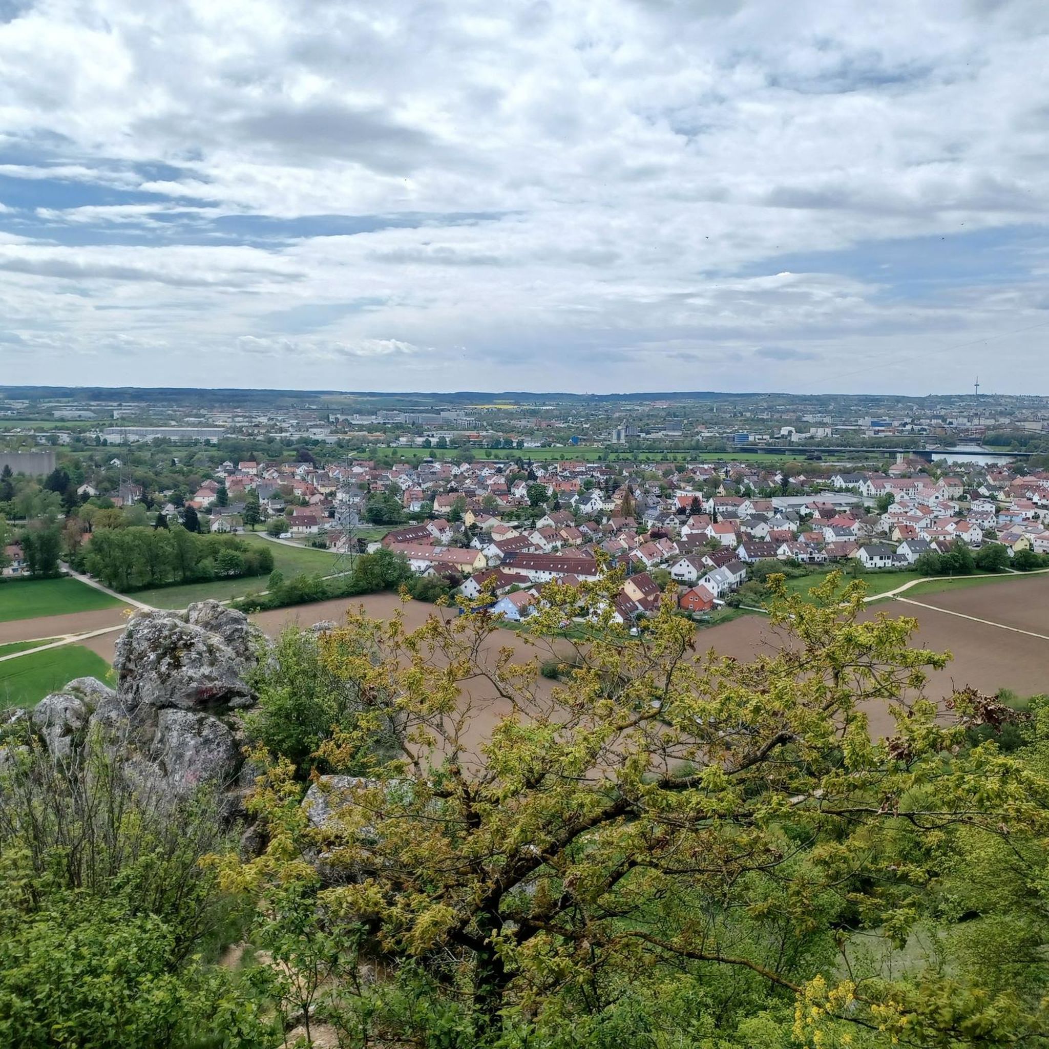
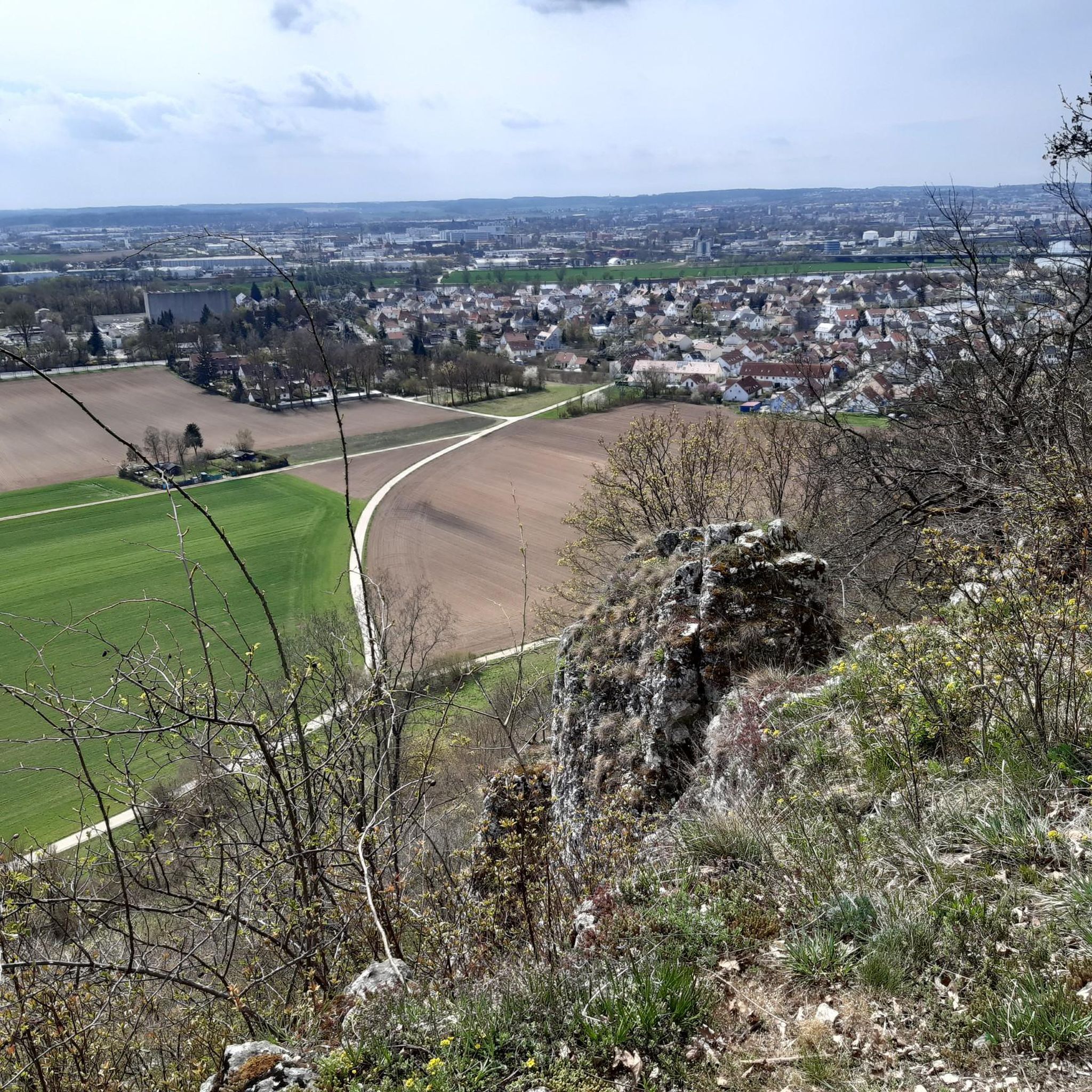
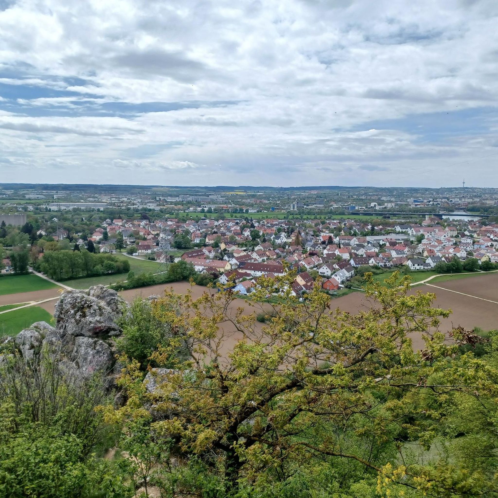
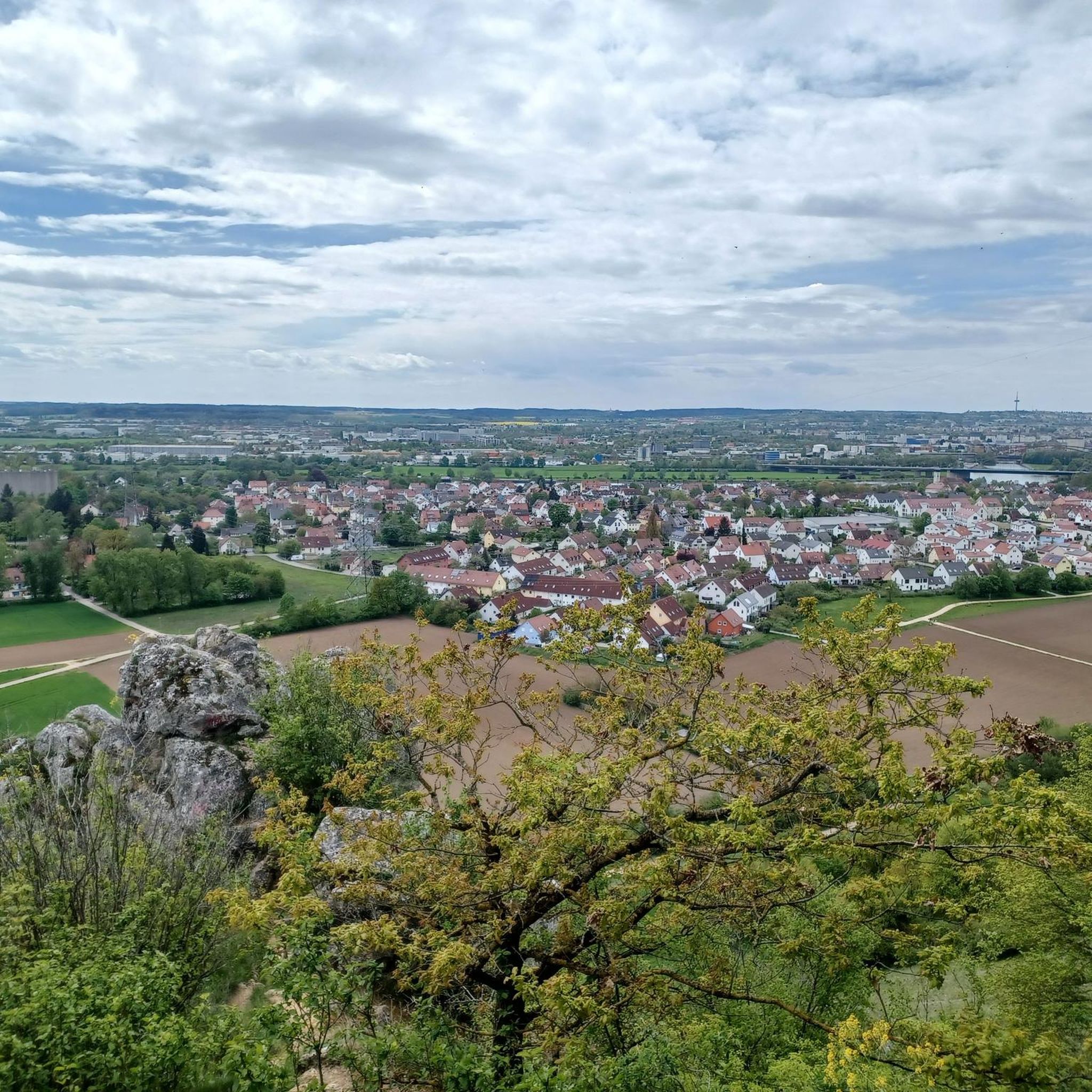
Absolutely. You can find several viewpoints offering impressive vistas. For example, the Elevated Path – View of Hohe Linie loop from Vorwerk provides elevated perspectives. Other notable spots include the View of Regensburg and the Danube Valley from Keilstein and the View of Regensburg from Walhalla Limestone Cliff.
Can I find running routes that pass by water features?
Yes, Kreuther Forst features several beautiful water elements. The Silberweiher (a small lake) is a prominent feature, and trails often incorporate the serene Otterbach Stream. You might also encounter the Beaver Dam on the Sulzbach on some routes, adding to the natural beauty.
Are there any historical or cultural landmarks near the running routes?
While Kreuther Forst itself is primarily natural woodland, some routes in the surrounding area offer views towards the significant Walhalla Memorial. This allows you to combine your run with a glimpse of a notable cultural landmark, adding an extra dimension to your outdoor experience.
Are there circular running routes available in Kreuther Forst?
Yes, many of the running routes in Kreuther Forst are designed as loops, allowing you to start and finish at the same point. This is convenient for parking and exploring the diverse landscapes without retracing your steps. An example is the View of Hohe Linie – View of Keilstein loop from Am Keilstein.
What is the best time of year for jogging in Kreuther Forst?
Kreuther Forst is beautiful year-round, but spring and autumn offer particularly pleasant conditions for jogging with milder temperatures and vibrant natural colors. The extensive woodlands provide shade during warmer summer months, and well-maintained paths can often be used for winter running, though conditions may vary.
Are the running trails in Kreuther Forst suitable for families?
Many of the easier and moderate trails are suitable for families, especially those with children who enjoy being outdoors. The predominantly wooded environment offers a safe and engaging setting. Look for routes marked as 'easy' to ensure a comfortable experience for all family members.
Can I bring my dog on the running routes in Kreuther Forst?
Generally, dogs are welcome on trails in natural areas like Kreuther Forst. However, it's always advisable to keep your dog on a leash, especially in forested areas where wildlife may be present, and to respect local regulations. Ensure you carry waste bags and water for your pet.
Are there any long-distance running options for experienced runners?
Yes, for experienced runners seeking a challenge, Kreuther Forst offers several longer and more difficult routes. For instance, the Unterlichtenwald – View of Hammermühle loop from Sulzbach an der Donau is a difficult 17.6 km path with significant elevation changes, providing a demanding workout.
Most popular routes in Kreuther Forst
Most popular attractions in Kreuther Forst

Get inspired with the komoot mobile app


Explore more
Browse the best Running Trails & Routes in other regions.
