The best road cycling routes in Naunhof-Brandiser Forst
4.6
(266)
4,510
riders
339
rides
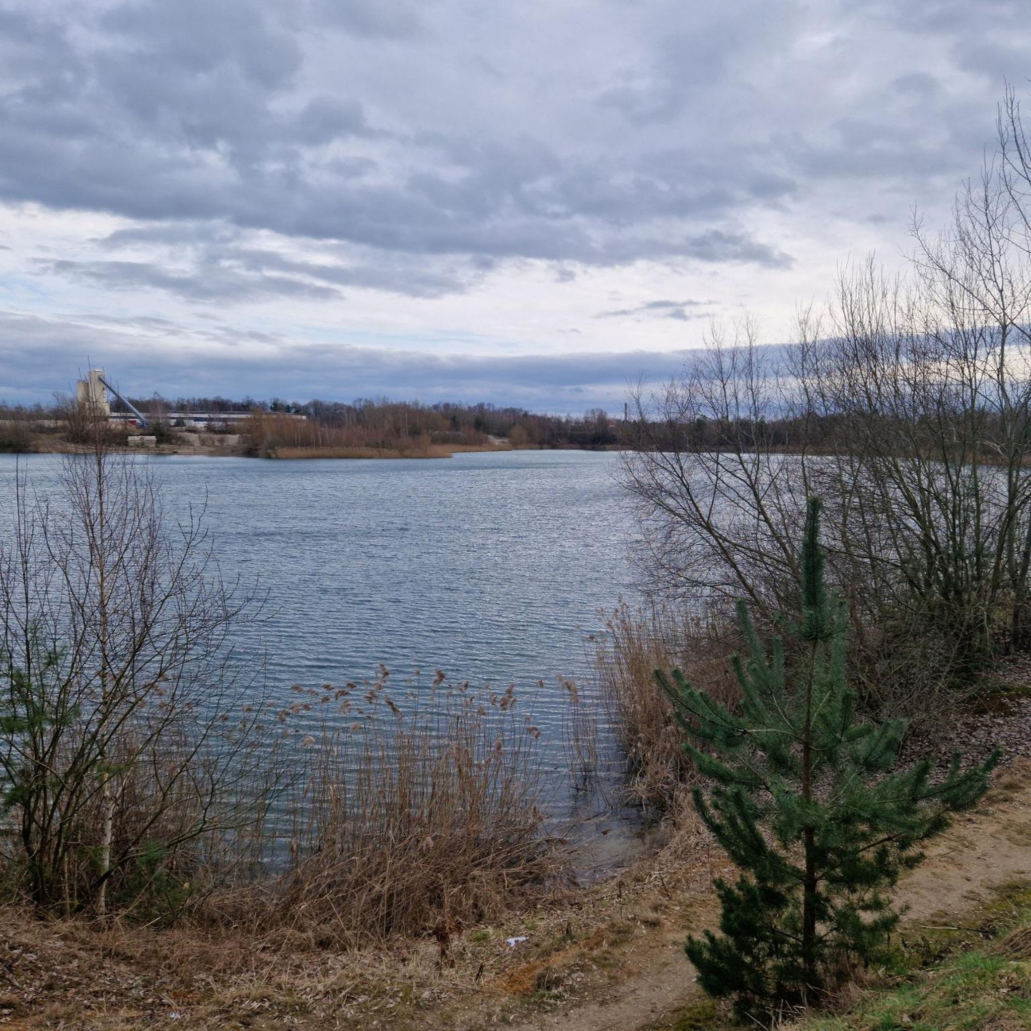
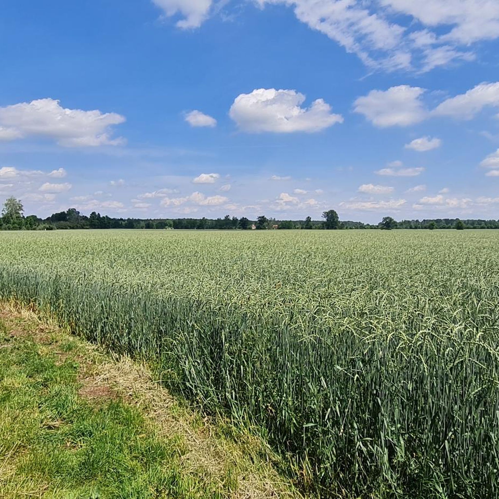
Road cycling in Naunhof-Brandiser Forst offers a network of mostly paved routes through varied landscapes. The region, part of the greater Leipzig area, features extensive wooded areas and numerous lakes, many of which are former open-cast mines. The terrain is generally characterized by low gradients, making it suitable for a wide range of fitness levels. Cyclists can expect routes that traverse forests and pass by scenic bodies of water.
Best road cycling routes in Naunhof-Brandiser Forst
- The most popular road cycling route is Steep Climb Großsteinberg – Klinga Church loop from Verwaltungsgemeinschaft Naunhof, a 22.6 miles (36.4 km) trail that takes 1 hour 26 minutes to complete. This easy route offers a mix of forest paths and open stretches.
- Another top favourite among local road cyclists is Rohrbacher Straße – Village Church Rohrbach loop from Verwaltungsgemeinschaft Naunhof, an easy 26.3 miles (42.3 km) path. This route navigates through the region's low-traffic roads and rural scenery.
- Local road cyclists also love the St. Martin's Church, Belgershain – Mühlteich Pomßen loop from Verwaltungsgemeinschaft Naunhof, a 19.2 miles (31.0 km) trail leading through forested areas and past local water features, often completed in about 1 hour 13 minutes.
- Road cycling in Naunhof-Brandiser Forst is defined by extensive forests, picturesque lakes, and generally low-gradient terrain. The network offers options for easy, moderate, and more difficult ability levels.
- The routes in Naunhof-Brandiser Forst are highly rated by the komoot community with an average score of 4.5 stars from over 260 reviews. More than 4000 road cyclists have used komoot to explore Naunhof-Brandiser Forst's varied terrain.
Last updated: July 14, 2026
8
riders
Easy road ride. Great for any fitness level. Mostly well-paved surfaces and easy to ride.
5
riders
Easy road ride. Great for any fitness level. Mostly well-paved surfaces and easy to ride.

Sign up for free
4.6
(10)
115
riders
Moderate road ride. Great for any fitness level. Some segments of this route may be unpaved and difficult to ride.
5.0
(1)
52
riders
Easy road ride. Great for any fitness level. Mostly well-paved surfaces and easy to ride.
5.0
(6)
37
riders
19.2km
00:49
60m
60m
Easy road ride. Great for any fitness level. Mostly well-paved surfaces and easy to ride.
Get access to more routes and recommendations from other explorers.
Sign up for free
Already have an account?
Our route recommendations are based on thousands of hikes, rides, and runs completed by other people on komoot.
Start today with a free account
Your next adventure awaits.
Login or Signup


Tips from the Community

very nice road, perfect peace!
0
0


Peace, panoramic views, good surface...
0
0


In November 1681, the smaller predecessor church was demolished due to dilapidation. On April 4, 1682, the foundation stone for the new building, which was built on oak piles, was laid. The interior features a wooden star vault with stuccoed ribs, a two-story west gallery, and a two-story box. Source: https://de.wikipedia.org/wiki/Johanneskirche_(Belgershain)
1
0

The first recorded mention of the first sacred building dates back to 1330; no records exist about this building. The only evidence of this era is the historic baptismal font. In November 1681, the smaller predecessor church was demolished due to dilapidation. On April 4, 1682, the foundation stone was laid for the new building, which was founded on oak piles. On May 3, 1684, the exterior work was completed with the construction of the tower head. In the second half of the 18th century, a wooden vault was installed, and the continuous ceiling beams were cut. The tower spindle was replaced in 1750, and the tower head was gilded in 1770. On September 4, 1782, a storm blew off the roof of the chancel.
0
0

Small, pretty restaurant with delicious ice cream
0
0
Frequently Asked Questions
What kind of terrain can I expect when road cycling in Naunhof-Brandiser Forst?
The Naunhof-Brandiser Forst region is generally characterized by low gradients, making it suitable for a wide range of fitness levels. You'll find mostly paved surfaces, ideal for road bikes, traversing extensive wooded areas and passing by picturesque lakes. While largely flat, some routes might include short, gentle uphills for a mild challenge.
How many road cycling routes are available in the Naunhof-Brandiser Forst area?
There are over 350 road cycling routes available in the Naunhof-Brandiser Forst region, offering a diverse selection for various preferences and skill levels.
Are there road cycling routes suitable for beginners or those looking for an easy ride?
Yes, the region offers a good selection of easy routes. Approximately 89 routes are classified as easy, providing comfortable tours through the area's scenic landscapes. An example of an easy route is the Steep Climb Großsteinberg – Klinga Church loop from Verwaltungsgemeinschaft Naunhof, which offers a mix of forest paths and open stretches.
What natural features or landmarks can I see along the road cycling routes?
Road cycling routes in Naunhof-Brandiser Forst often lead past beautiful natural features and points of interest. You can expect to see numerous lakes, many of which are former open-cast mines transformed into recreational areas, such as Naunhof Gravel Pit and Kiesgrube Pomßen Lake. The routes also wind through extensive wooded areas of the Naunhof-Brandiser Forst itself, providing tranquil environments.
Are there any family-friendly road cycling options in Naunhof-Brandiser Forst?
Given the generally low gradients and mostly paved surfaces, many routes in Naunhof-Brandiser Forst are suitable for families. The comfortable terrain allows for enjoyable rides for various ages and fitness levels. Look for routes classified as 'easy' for the most family-friendly experiences.
What is the typical length and duration of road cycling routes in this region?
Route lengths vary, but many popular road cycling routes are between 30 to 40 kilometers (19 to 25 miles) long, typically taking 1 to 2 hours to complete. For instance, the Rohrbacher Straße – Village Church Rohrbach loop from Verwaltungsgemeinschaft Naunhof is 42.3 km (26.3 miles) and takes about 1 hour 38 minutes.
What do other cyclists say about road cycling in Naunhof-Brandiser Forst?
The road cycling routes in Naunhof-Brandiser Forst are highly rated by the komoot community, with an average score of 4.5 stars from over 260 reviews. Cyclists often praise the varied terrain, which includes extensive forests and picturesque lakes, as well as the generally low-gradient paths that make for enjoyable rides.
Can I find circular road cycling routes in Naunhof-Brandiser Forst?
Yes, many of the road cycling routes in the Naunhof-Brandiser Forst are designed as loops, allowing you to start and end at the same point. Examples include the St. Martin's Church, Belgershain – Mühlteich Pomßen loop from Verwaltungsgemeinschaft Naunhof or the Austrian Monument Holzhausen – Lene-Voigt Park loop from Naunhof.
Are there any cultural or historical sights accessible by road bike in the broader region?
Beyond the natural beauty, the broader Leipzig region, encompassing Naunhof-Brandiser Forst, features charming historic towns and an above-average density of impressive castles, palaces, and manor houses. While specific routes might not directly pass them, many are within cycling distance and can add a cultural dimension to your tour.
What is the best time of year for road cycling in Naunhof-Brandiser Forst?
The region is enjoyable for road cycling throughout the warmer months, from spring to autumn. Spring offers blooming landscapes, while summer provides lush green forests and opportunities to enjoy the lakes. Autumn brings beautiful foliage, making for scenic rides. The generally low gradients make it accessible for most of the year, weather permitting.
Are there options for more challenging road cycling routes?
While the terrain is generally low-gradient, there are moderate and even some difficult routes available for those seeking more of a challenge. Approximately 238 routes are classified as moderate and 27 as difficult, offering longer distances or slightly more varied elevation profiles. For example, the View of Störmthaler See – Markkleeberg Harbor loop from Naunhof is a moderate route that offers a good workout.
Most popular routes in Naunhof-Brandiser Forst
Most popular attractions in Naunhof-Brandiser Forst

Get inspired with the komoot mobile app


Explore more
Browse the best Road cycling routes in other regions.
