The best road cycling routes in Töpferwald
4.6
(188)
2,538
riders
88
rides
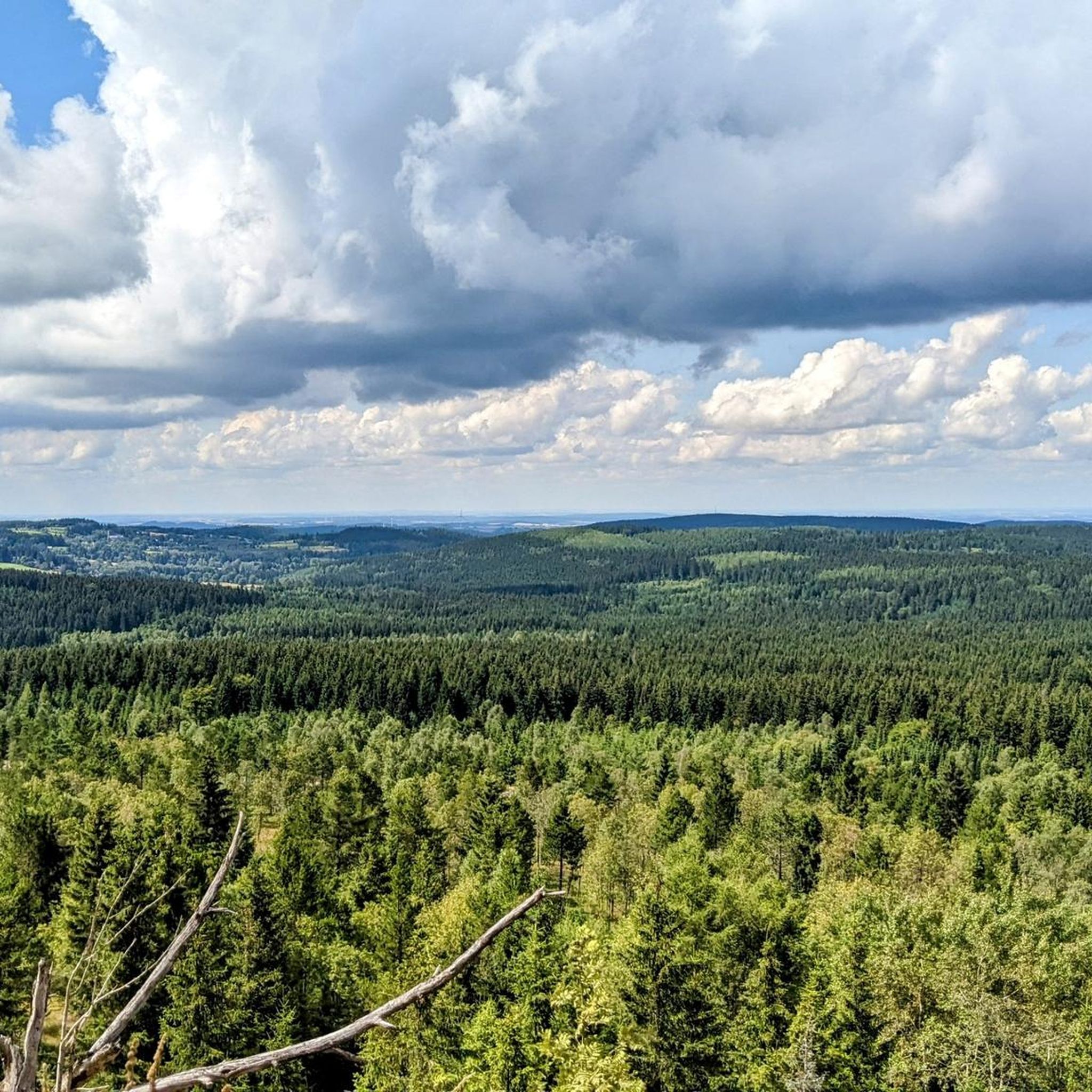
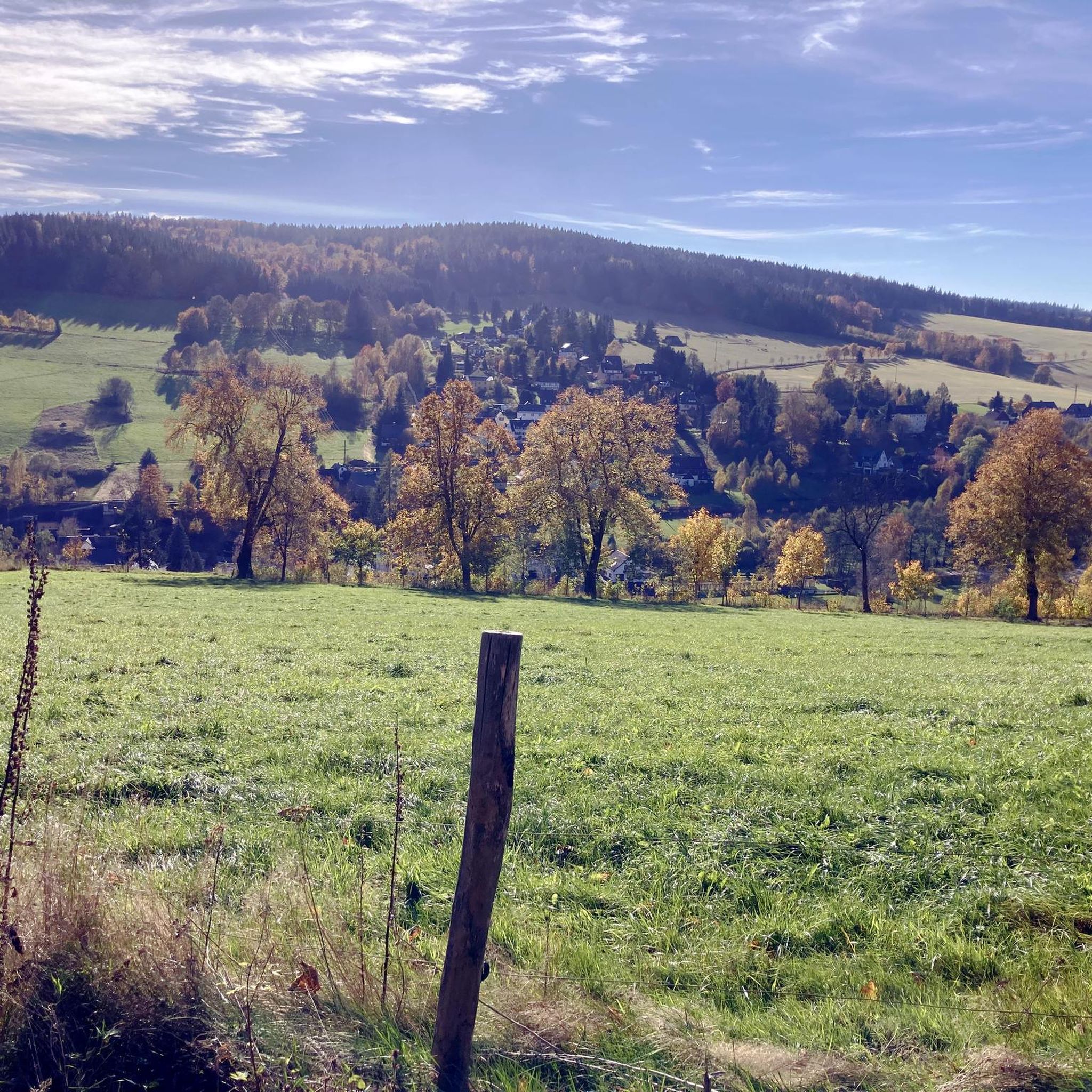
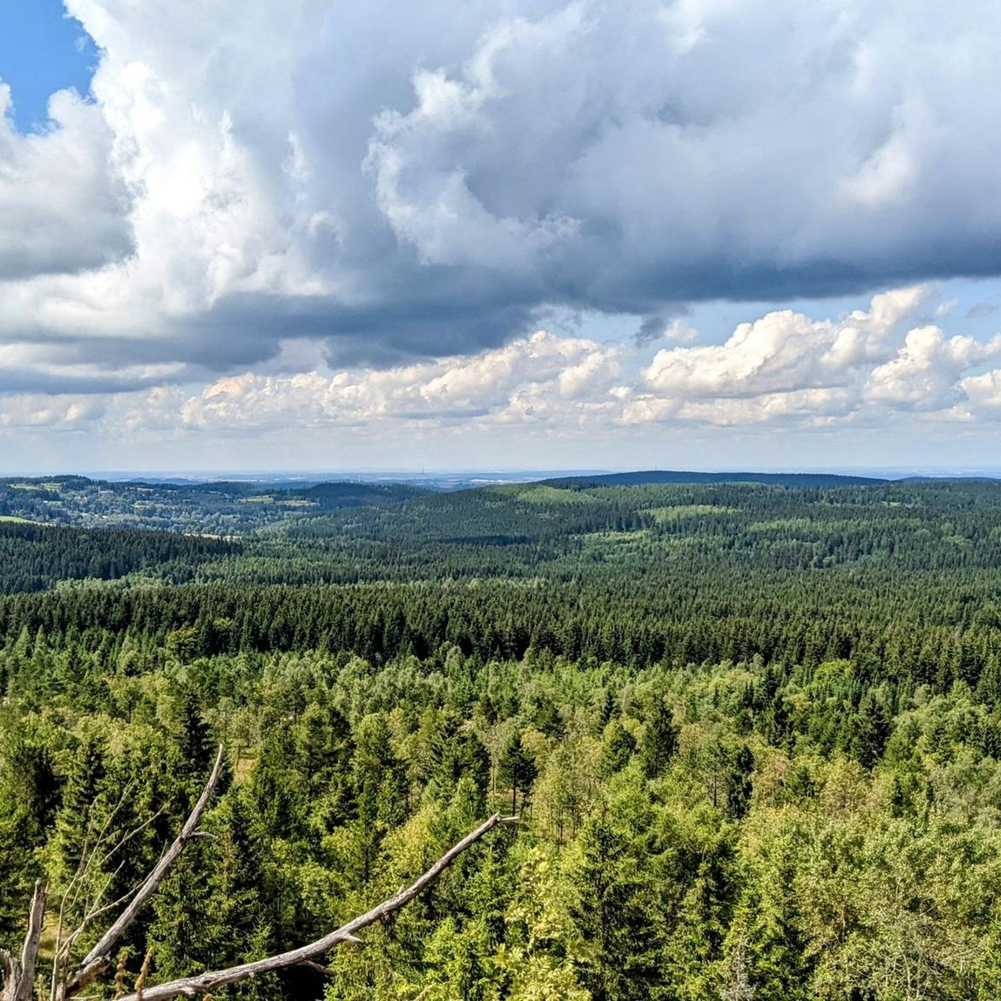
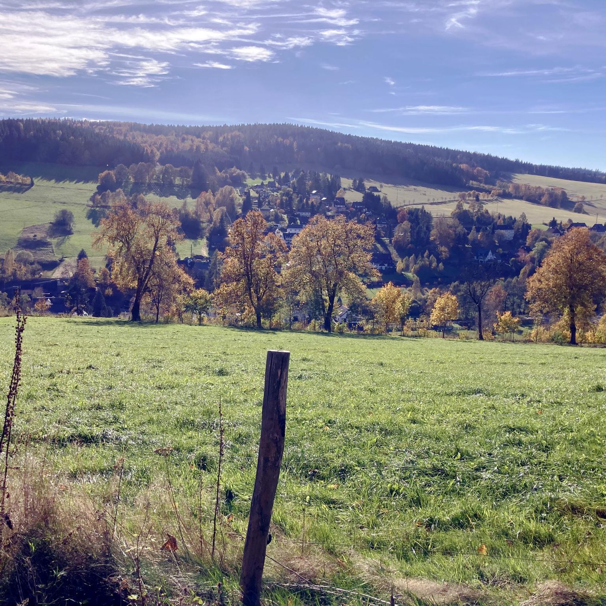
Road cycling routes in Töpferwald traverse a region characterized by varied terrain, including extensive forests and scenic river valleys within Mittelsachsen, Germany. The area features a mix of challenging climbs and undulating paths, with routes often leading through picturesque landscapes. Road cyclists can expect significant elevation changes, indicating a hilly environment suitable for those seeking a workout. The region's natural features provide diverse visual interest and varying gradients for cycling.
Best road cycling routes in Töpferwald
- The most popular road…
Last updated: July 14, 2026
4.9
(12)
61
riders
59.2km
02:56
860m
860m
Moderate road ride. Good fitness required. Mostly well-paved surfaces and easy to ride.
4.8
(4)
42
riders
37.4km
01:49
530m
530m
Moderate road ride. Good fitness required. Mostly well-paved surfaces and easy to ride.

Sign up for free
5.0
(1)
31
riders
50.7km
02:27
710m
710m
Moderate road ride. Good fitness required. Mostly well-paved surfaces and easy to ride.
3.0
(1)
19
riders
55.4km
02:48
870m
870m
Moderate road ride. Good fitness required. Mostly well-paved surfaces and easy to ride.
19
riders
35.2km
01:42
500m
500m
Moderate road ride. Good fitness required. Mostly well-paved surfaces and easy to ride.
Get access to more routes and recommendations from other explorers.
Sign up for free
Already have an account?
Our route recommendations are based on thousands of hikes, rides, and runs completed by other people on komoot.
Start today with a free account
Your next adventure awaits.
Login or Signup
Other adventures in Töpferwald

Tips from the Community

Frauenstein Town Church "Our Lady" Information: It stands in the center of the market square. A memorial stone commemorates the year the first town church was built, 1491. The church was destroyed in the third town fire in 1869, and the new building, a single-nave church, was completed in 1873.
1
0

at Frauenstein market, Church of Our Lady, with Silbermann organ
0
0

The ruins of Frauenstein Castle are located on a 680-meter-high granite porphyry rock on the ridge of the Eastern Ore Mountains near the town of Frauenstein in the district of Central Saxony. See: https://de.wikipedia.org/wiki/Burg_Frauenstein_(Erzgebirge)
3
1

The whole area is worth a visit at any time of year.
1
0
Perfect asphalt condition summer 2025 and great views.
1
0
The road was renewed in late summer 2025 and now offers excellent asphalt for both entry and exit.
1
0
Great route through the forest. The asphalt could be improved, but nature easily makes up for it.
2
0
Frequently Asked Questions
How many road cycling routes are available in Töpferwald?
Töpferwald offers a wide selection of road cycling routes, with over 90 tours available. These routes cater to various skill levels, including 5 easy, 49 moderate, and 36 difficult options.
What kind of terrain can I expect when road cycling in Töpferwald?
Road cycling in Töpferwald features a varied terrain, characterized by extensive forests and scenic river valleys within Mittelsachsen, Germany. You can expect a mix of challenging climbs and undulating paths, with significant elevation changes, making it suitable for those seeking a good workout amidst diverse visual interest.
What do other road cyclists think about the routes in Töpferwald?
The road cycling routes in Töpferwald are highly regarded by the komoot community, boasting an average rating of 4.7 stars from over 170 reviews. More than 2,400 road cyclists have explored the area, often praising the varied terrain and scenic beauty.
Are there any circular road cycling routes in Töpferwald?
Yes, many routes in Töpferwald are designed as loops, allowing you to start and finish at the same point. For example, the Fláje Dam – Hirschberg Scenic Road loop from Bienenmühle and the Miner with Ore Cart – Ringelweg loop from Rechenberg are popular circular options.
Are there road cycling routes suitable for beginners or families in Töpferwald?
While Töpferwald is known for its hilly terrain, there are 5 routes classified as easy, which might be more suitable for beginners or families looking for a less strenuous ride. These routes often follow flatter sections along river valleys or former railway lines, providing a gentler experience.
Where can I find challenging road cycling routes in Töpferwald?
For experienced cyclists seeking a challenge, Töpferwald offers 36 difficult road cycling routes. These routes feature significant climbs and elevation changes. An example is the Climb to Cínovec – View of Bouřňák (Stürmer) loop from Rechenberg, which leads through hilly terrain with rewarding viewpoints.
What is the typical duration of road cycling routes in Töpferwald?
The duration of road cycling routes in Töpferwald varies significantly based on distance and elevation. Moderate routes like the Miner with Ore Cart – Ringelweg loop from Rechenberg can take around 1 hour 49 minutes, while longer routes such as the Fláje Dam – Hirschberg Scenic Road loop from Bienenmühle might take approximately 3 hours 3 minutes.
When is the best time of year for road cycling in Töpferwald?
The best time for road cycling in Töpferwald is typically from spring through autumn, when the weather is milder and the landscapes are vibrant. During these seasons, you can enjoy the extensive forests and river valleys without the challenges of winter conditions. Always check local weather forecasts before heading out.
What natural sights can I see along the road cycling routes in Töpferwald?
Töpferwald's routes often pass through beautiful natural areas. You might encounter the tranquil Gimmlitz Spring, the scenic Drachenkopf Summit, or the unique Orchid Meadows in the Gimmlitz Valley. The Gimmlitztal Nature Reserve also offers stunning natural beauty.
Are there any historical or cultural landmarks to explore while road cycling in Töpferwald?
Yes, Töpferwald offers several historical and cultural points of interest. Cyclists can discover the Illing Mill — Historic Sawmill, the Former Railway Bridge at Teichhaus, or the Weicheltmühle (Historic Watermill and Museum), providing glimpses into the region's heritage.
Are there viewpoints along the road cycling routes in Töpferwald?
Many road cycling routes in Töpferwald offer rewarding viewpoints, especially those that involve significant climbs. For instance, the Climb to Cínovec – View of Bouřňák (Stürmer) loop from Rechenberg is specifically highlighted for its scenic vistas after ascending hilly terrain.
Are there places to park for road cyclists in Töpferwald?
While specific parking locations are not detailed for every route, many popular cycling regions in Germany, including areas with varied terrain like Töpferwald, typically offer designated parking near trailheads or in nearby villages. It's advisable to check the starting points of individual routes on komoot for specific parking information.
Most popular routes in Töpferwald
Most popular attractions in Töpferwald

Get inspired with the komoot mobile app


Explore more
Browse the best Road cycling routes in other regions.
