The best road cycling routes in Fischerwald
4.6
(58)
700
riders
62
rides
Road cycling in Fischerwald, located in Mittelsachsen, Germany, features a landscape characterized by dense forests and significant elevation changes. The region's terrain includes numerous hills and valleys, providing varied gradients for road cyclists. Routes often traverse through wooded areas and offer views of the surrounding low mountain ranges. The area is suitable for cyclists seeking challenging climbs and descents on paved roads.
Best road cycling routes in Fischerwald
- The most popular road cycling route is View of Rehefeld-Zaunhaus – Lauenstein…
Last updated: July 10, 2026
11
riders
82.3km
04:22
1,430m
1,430m
Hard road ride. Very good fitness required. Some segments of this route may be unpaved and difficult to ride.
9
riders
71.0km
03:28
1,010m
1,010m
Hard road ride. Very good fitness required. Some segments of this route may be unpaved and difficult to ride.

Sign up for free
3
riders
22.9km
01:11
320m
320m
Moderate road ride. Good fitness required. Some segments of this route may be unpaved and difficult to ride.
4.8
(4)
42
riders
37.4km
01:49
530m
530m
Moderate road ride. Good fitness required. Mostly well-paved surfaces and easy to ride.
5.0
(1)
31
riders
50.7km
02:27
710m
710m
Moderate road ride. Good fitness required. Mostly well-paved surfaces and easy to ride.
Get access to more routes and recommendations from other explorers.
Sign up for free
Already have an account?
Our route recommendations are based on thousands of hikes, rides, and runs completed by other people on komoot.
Start today with a free account
Your next adventure awaits.
Login or Signup
Popular around Fischerwald
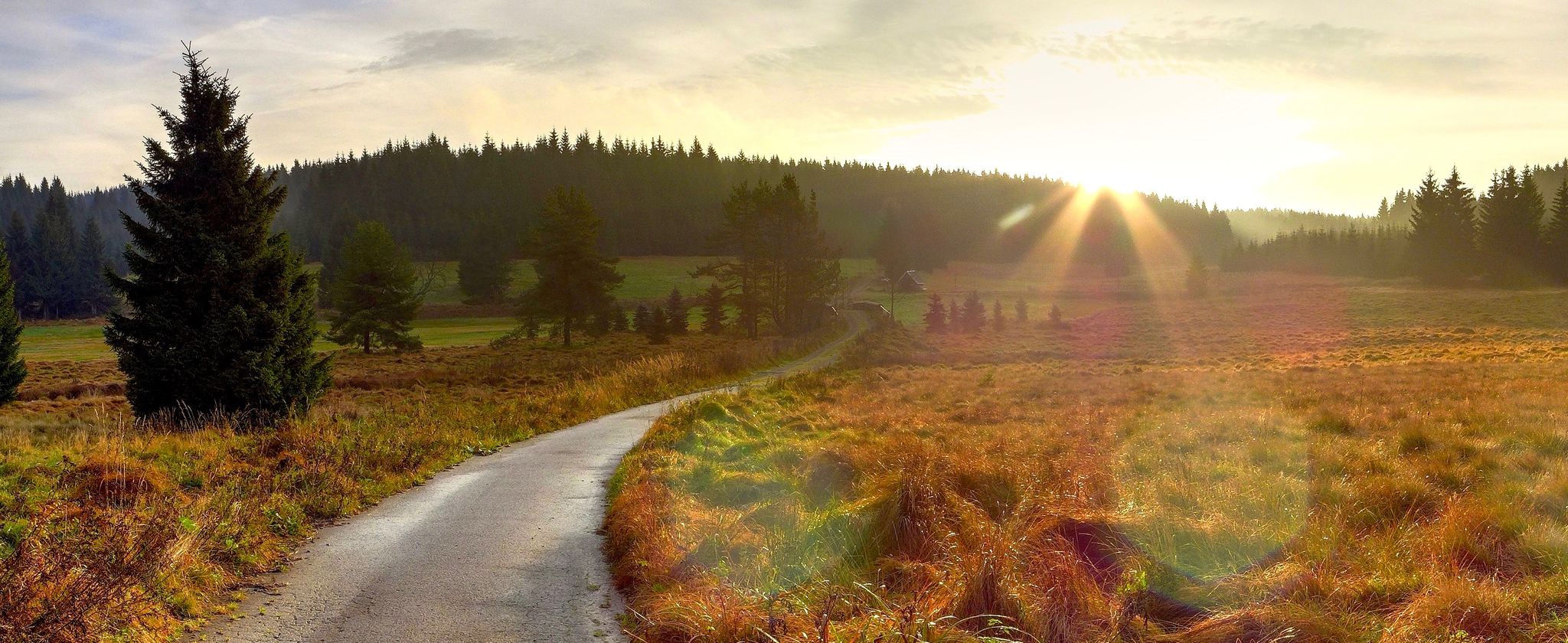
Ore Mountains — between forests and elevation

Hiking with heart in the Ore Mountains

History meets nature – Erzgebirge-Vogtland Ridge Trail
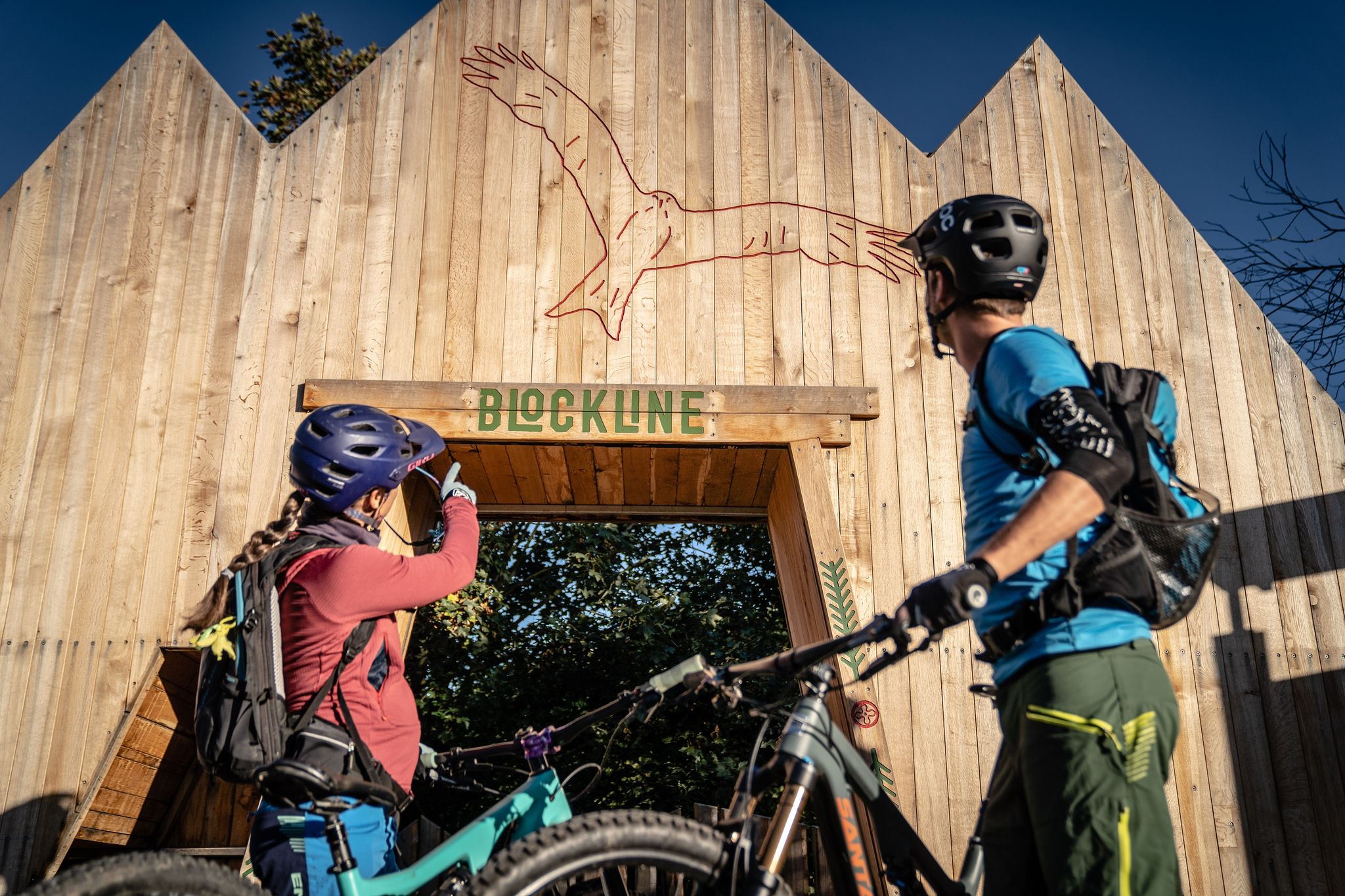
BLOCKLINE – Dein Bike-Abenteuer im Erzgebirge
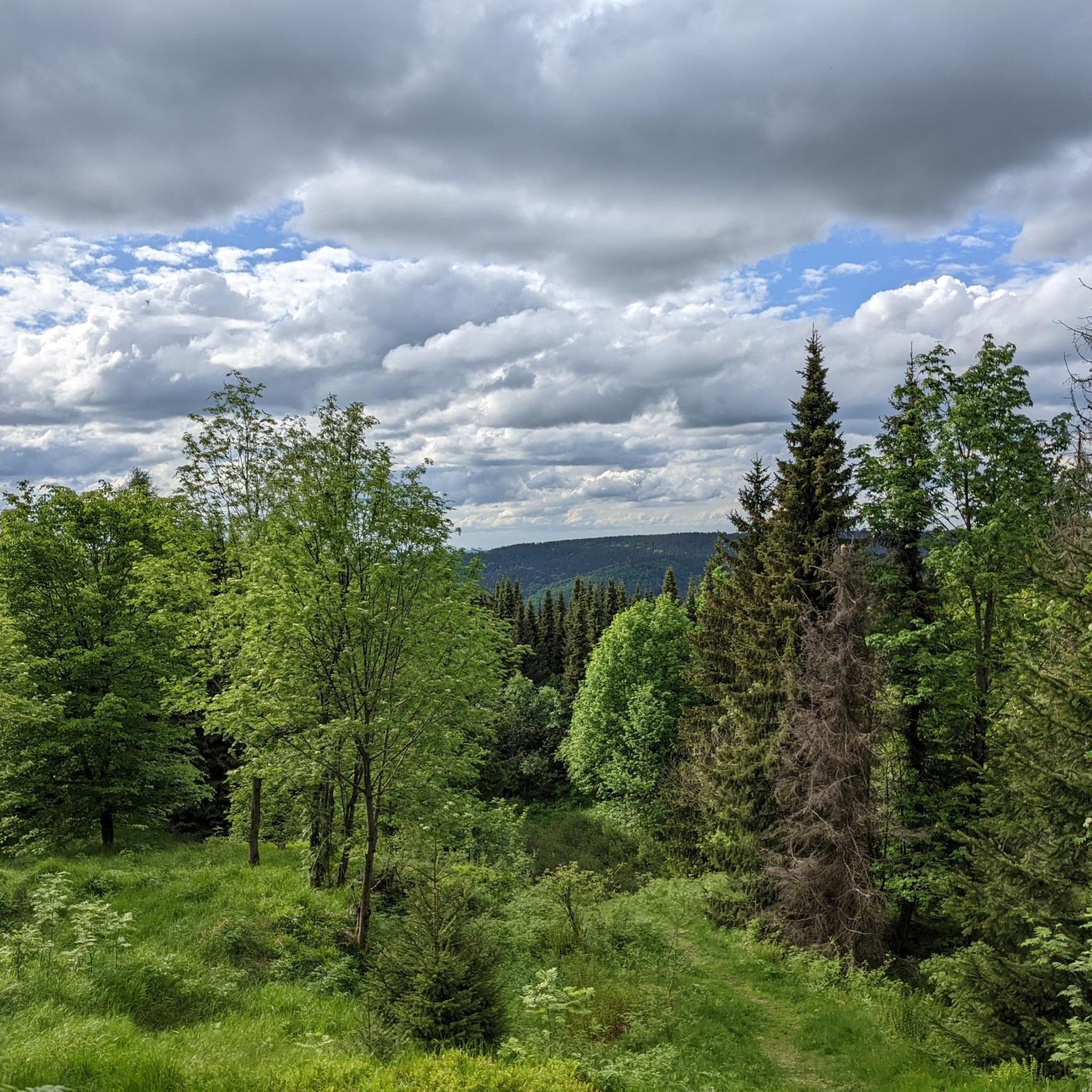
Hiking in Fischerwald
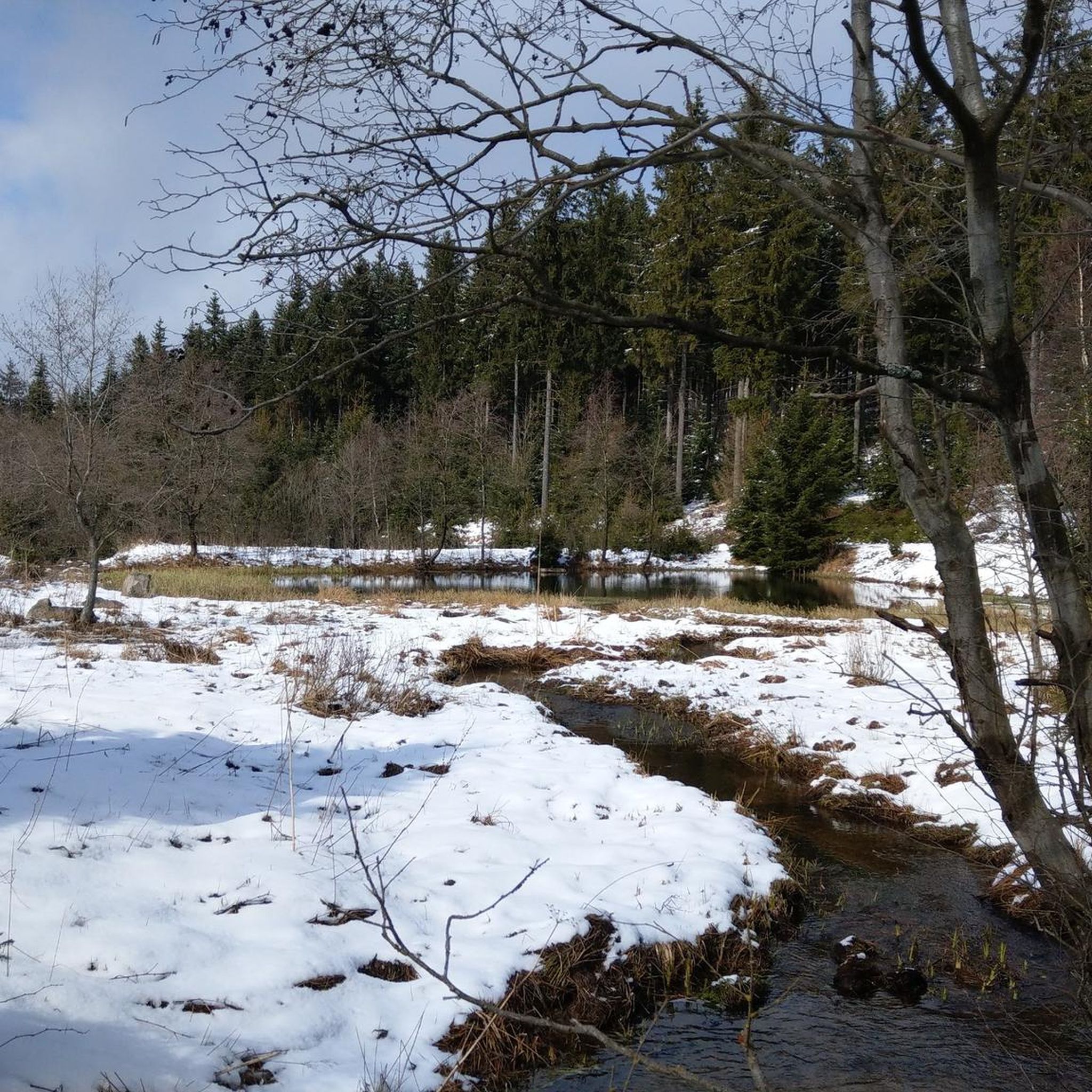
Cycling in Fischerwald
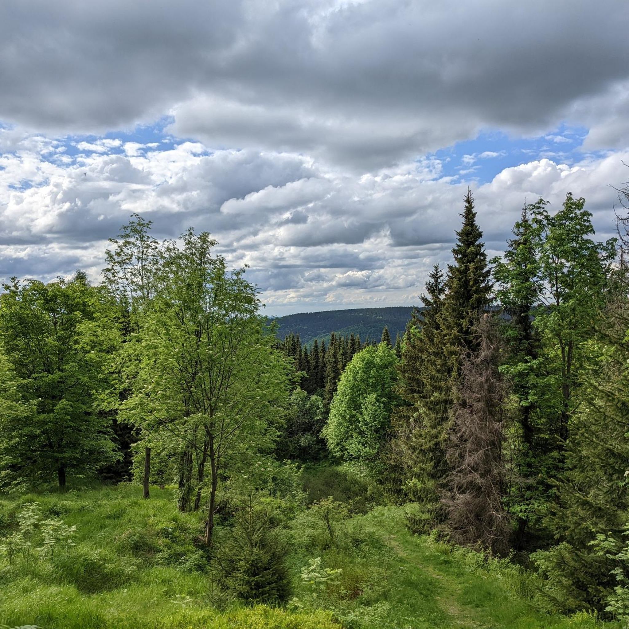
MTB Trails in Fischerwald
Gravel biking in Fischerwald
Running Trails in Fischerwald
Other adventures in Fischerwald


Tips from the Community

Asphalt has just been renewed. The finest 👍
0
0

Lauenstein Castle originated from a castle dating back to the 13th century in the Lauenstein district of Altenberg. https://de.wikipedia.org/wiki/Schloss_Lauenstein
0
0

The whole area is worth a visit at any time of year.
1
0
Perfect asphalt condition summer 2025 and great views.
1
0
The road was renewed in late summer 2025 and now offers excellent asphalt for both entry and exit.
1
0
Great route through the forest. The asphalt could be improved, but nature easily makes up for it.
2
0
A dream on a road bike in late summer: warm air, clear visibility, and the expansive view over the dam. One of my favorite sections of the Stoneman Miriquidi Road!
2
0

Here you have an impressive view 🤩
1
0
Frequently Asked Questions
What kind of terrain can I expect when road cycling in Fischerwald?
Fischerwald, located in Mittelsachsen, Germany, is characterized by dense forests, rolling hills, and significant elevation changes. You'll find varied gradients, challenging climbs, and descents on paved roads, often traversing through wooded areas with views of the surrounding low mountain ranges. This landscape provides a diverse experience, similar to the low mountain ranges of the Westerwald, offering both picturesque scenery and demanding sections.
How many road cycling routes are available in Fischerwald?
There are over 60 road cycling routes available in Fischerwald. These routes cater to various skill levels, from moderate loops to more difficult, long-distance challenges.
What are the difficulty levels of road cycling routes in Fischerwald?
Fischerwald offers a range of difficulty levels for road cyclists. You'll find 2 easy routes, 34 moderate routes, and 25 difficult routes. This variety ensures that both beginners and experienced cyclists can find suitable challenges.
Are there any challenging road cycling routes in Fischerwald?
Yes, Fischerwald is known for its challenging routes. For instance, the View of Rehefeld-Zaunhaus – Lauenstein Castle loop from Holzhau is a difficult 51.2-mile (82.3 km) route featuring substantial climbs and descents. Another demanding option is the Climb to Cínovec – View of Bouřňák (Stürmer) loop from Holzhau, a 44.6-mile (71.7 km) path with a challenging ascent to Cínovec.
What are some popular road cycling routes in Fischerwald?
Among the most popular routes are the View of Rehefeld-Zaunhaus – Lauenstein Castle loop from Holzhau, known for its climbs and descents, and the Climb to Cínovec – View of Bouřňák (Stürmer) loop from Holzhau, which offers expansive views. Local cyclists also enjoy the Ringelweg – Fischerbaude loop from Holzhau, a moderate route through forested areas.
What do other road cyclists enjoy the most about road cycling in Fischerwald?
The komoot community highly rates road cycling in Fischerwald, with an average score of 4.7 stars from over 50 reviews. Cyclists often praise the region's varied terrain, which includes both challenging climbs and scenic descents through dense woodlands. The diverse network of routes caters to different ability levels, making it a rewarding destination for many.
Are there any circular road cycling routes in Fischerwald?
Yes, many of the routes in Fischerwald are designed as loops, allowing you to start and end at the same point. Examples include the View of Rehefeld-Zaunhaus – Lauenstein Castle loop from Holzhau and the Ringelweg – Fischerbaude loop from Holzhau. These circular routes offer convenient ways to explore the region's diverse landscapes.
What landmarks or scenic viewpoints can I find along the road cycling routes?
Road cycling routes in Fischerwald offer several points of interest. You might pass by historical sites like To Battlecke Historical Site or the remains of the Kähnelbahn Holzhau Cableway. Some routes also offer expansive views, such as those from Bouřňák (Stürmer) on the Climb to Cínovec – View of Bouřňák (Stürmer) loop from Holzhau. You can also find natural features like the Steinkuppe Summit.
Are there places to stop for refreshments or food along the routes?
While specific cafes and pubs are not detailed for every route, regions like Fischerwald often feature small towns and villages with historic centers that are ideal for breaks. For example, the Fischerbaude is a known restaurant in the area, which you might encounter on routes like the Ringelweg – Fischerbaude loop from Holzhau.
What is the best time of year for road biking in Fischerwald?
While specific seasonal information for Fischerwald isn't available, similar regions with rolling hills and forests, like the Westerwald, are generally excellent for cycling from spring through autumn. Spring and summer bring lush greenery and wildflowers, while autumn offers vibrant foliage. Always check the local weather forecast before your ride, as elevation changes can lead to cooler temperatures at higher points.
Are there any moderate road cycling routes suitable for intermediate riders?
Absolutely. Fischerwald has 34 moderate road cycling routes. An example is the Miner with Ore Cart – Ringelweg loop from Rechenberg, a 37.4-kilometer route with a manageable elevation gain of around 528 meters. Another good option is the Climb to Cínovec – View of Bouřňák (Stürmer) loop from Rechenberg, which is 50.7 kilometers long and also rated as moderate.
Most popular routes in Fischerwald
Most popular attractions in Fischerwald

Get inspired with the komoot mobile app


Explore more
Browse the best Road cycling routes in other regions.
