The best walks and hikes in Kropstädter Heide
4.6
(826)
2,966
hikers
242
hikes
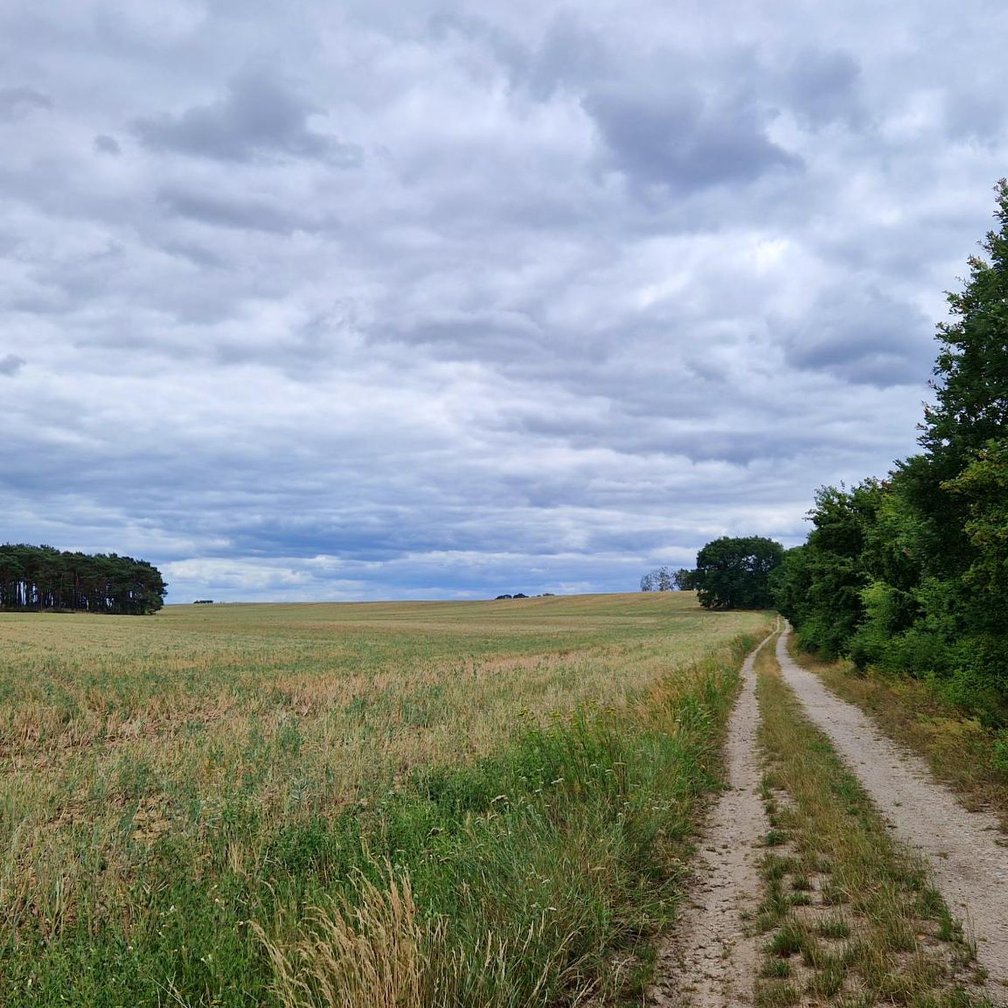
Hiking in Kropstädter Heide, located near Wittenberg, offers a varied landscape characterized by heathland, woodlands, and open fields. The region features a network of trails suitable for different activity levels. Small hills and diverse flora contribute to a pleasant natural environment for outdoor activities. This area provides accessible terrain for both leisurely strolls and more extended hikes.
Best hiking trails in Kropstädter Heide
- The most popular hiking route is Friedenthaler Grund Circular Trail – Rotkäppchenweg Trail loop from Friedenthaler Grund…
Last updated: June 27, 2026
4.5
(16)
53
hikers
Moderate hike. Good fitness required. Easily-accessible paths. Suitable for all skill levels.
4.6
(5)
17
hikers
Easy hike. Great for any fitness level. Easily-accessible paths. Suitable for all skill levels.

Sign up for free
4.6
(5)
18
hikers
Moderate hike. Good fitness required. Easily-accessible paths. Suitable for all skill levels.
5.0
(1)
11
hikers
Easy hike. Great for any fitness level. Easily-accessible paths. Suitable for all skill levels.
5.0
(1)
8
hikers
4.27km
01:06
20m
20m
Easy hike. Great for any fitness level. Easily-accessible paths. Suitable for all skill levels.
Get access to more routes and recommendations from other explorers.
Sign up for free
Already have an account?
Our route recommendations are based on thousands of hikes, rides, and runs completed by other people on komoot.
Start today with a free account
Your next adventure awaits.
Login or Signup
Tips from the Community

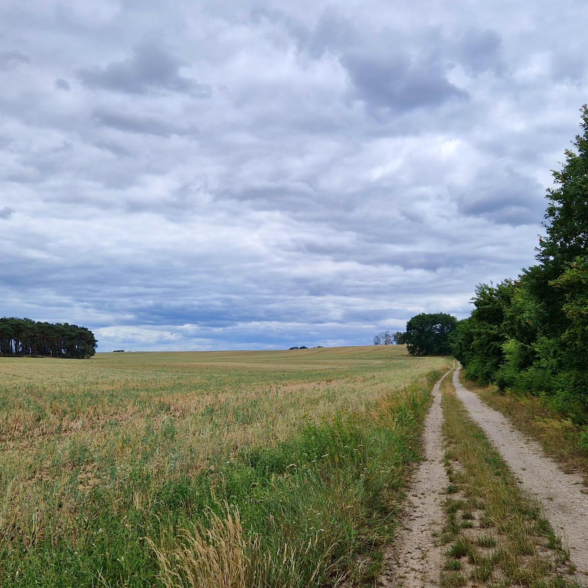
Some of the paths are very overgrown and that makes it not always easy to find your way around
0
0

The village church is picturesquely situated at the village pond. Right next to it is a rest area with barbecue facilities and a restaurant with seating by the pond, but the opening times are very clear and it is probably only used by the villagers on festive occasions.
7
0
The relatively unadorned plastered church was originally built in the 13th century as a stone church.
6
0

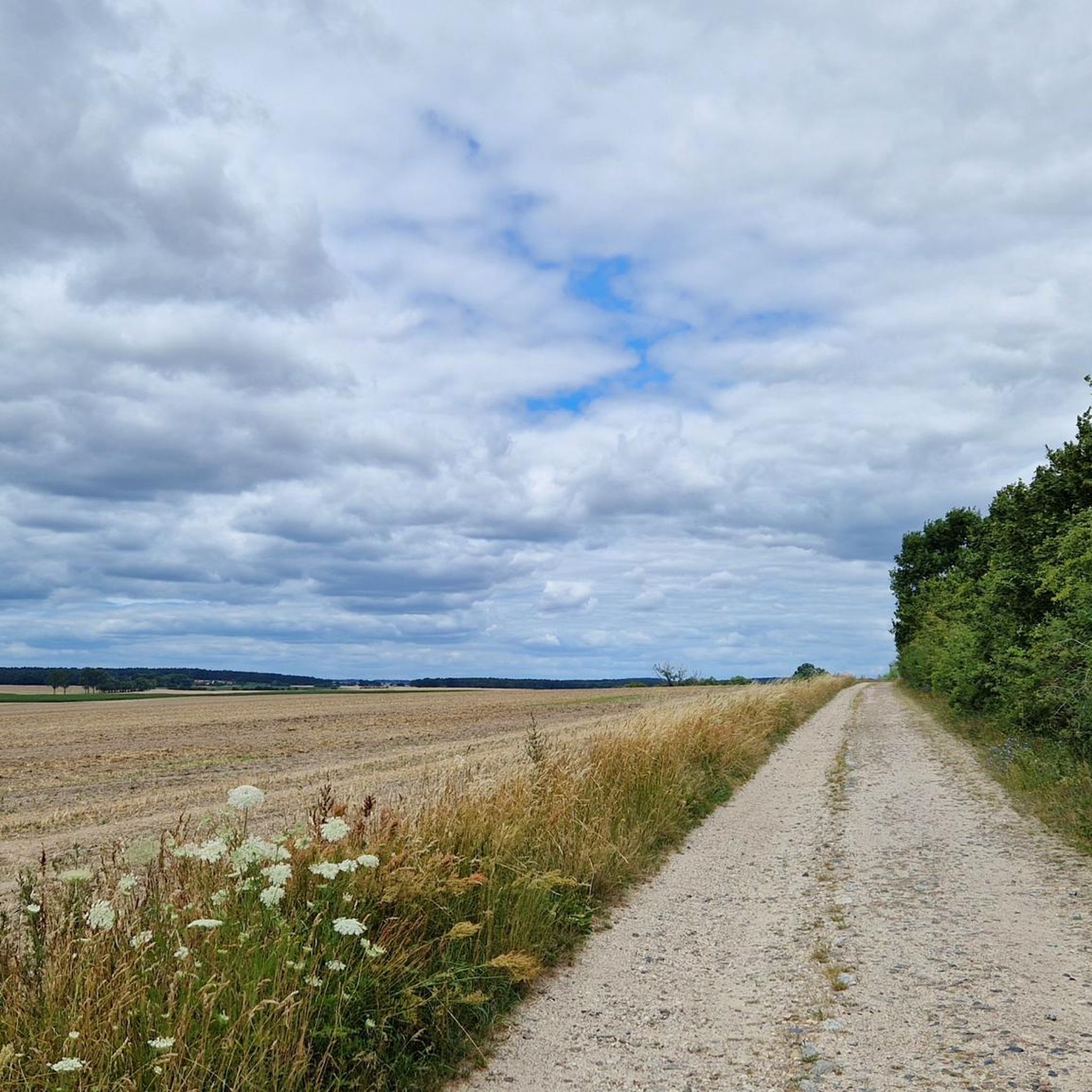
We used the cycle path parallel to the natural gas route
0
0

The church in Kropstädt was built as a stone church in the 13th century. After it was redesigned in a classical style in the 19th century, most of the fieldstone in the facade disappeared. However, the original shape can still be seen on the apse in the eastern part of the building.
4
0

A beautiful little village church with a covered resting place for hikers.
2
0

From the Schäferei rest area, straight ahead 30 m further on is the entrance to the landscape park of Kropstädt Castle on the right. The ten hectare landscape park surrounding the castle. Probably originated in 1850 and today has a valuable tree population.
0
0
The forest path ends at this point and you have reached the outskirts of Kropstädt (trail markers, among others, in the direction of Kropstädt Castle). Now go straight ahead for about 100 m until a street = sheep farm branches off to the left (again signposted towards Schloss Kropstädt). One follows this.
0
0
Frequently Asked Questions
How many hiking trails are available in Kropstädter Heide?
Kropstädter Heide offers an extensive network of trails, with nearly 260 hiking routes recorded on komoot. This includes a wide variety of options, from easy strolls to more challenging hikes, ensuring there's something for every preference.
What kind of terrain can I expect when hiking in Kropstädter Heide?
The region is characterized by a varied landscape, including heathland, woodlands, and open fields. You'll find small hills and diverse flora, creating a pleasant natural environment. Much of the terrain is accessible, making it suitable for leisurely walks as well as more extended hikes.
Are there easy hiking trails suitable for beginners or families in Kropstädter Heide?
Yes, Kropstädter Heide is well-suited for beginners and families, with 149 easy routes available. An excellent option is the Friedenthaler Grund Circular Trail – Path Along the Gas Pipeline loop from Kropstädt, an easy 6.4 km path offering pleasant views.
Are there any circular hiking routes in Kropstädter Heide?
Yes, many of the trails in Kropstädter Heide are circular, allowing you to start and end at the same point. A popular moderate circular route is the Friedenthaler Grund Circular Trail – Rotkäppchenweg Trail loop from Friedenthaler Grund, which covers 11.1 km through varied woodland and open areas.
What are the best times of year to hike in Kropstädter Heide?
While Kropstädter Heide is enjoyable year-round, the 'Heide' designation suggests that late summer, when purple heather typically blooms in heathland regions, would be a particularly beautiful time to visit. Spring and autumn also offer pleasant temperatures and vibrant natural colors.
What do other hikers say about Kropstädter Heide?
The area is highly rated by the komoot community, with an average score of 4.6 stars from over 760 reviews. Hikers often praise the varied landscape, well-maintained paths, and the peaceful atmosphere of the woodlands and open fields.
Are there any cultural or historical landmarks to see along the trails?
Yes, some hiking routes incorporate local landmarks, adding a cultural dimension to your outdoor experience. Notable examples include the Kropstädt Church, an original 13th-century fieldstone church, and the picturesque Ensemble Dorfkirche & Dorfteich Köpnick.
Are there any challenging hikes in Kropstädter Heide?
While the region is known for its accessible terrain, there are 7 routes classified as difficult for those seeking more of a challenge. The majority of trails are easy or moderate, offering a good balance for various fitness levels.
Can I find routes that combine woodlands and open fields?
Absolutely. Kropstädter Heide's landscape is a mix of heathland, woodlands, and open fields. Many routes, such as the Path Along the Gas Pipeline – Friedenthaler Grund Circular Trail loop from Friedenthaler Grund, lead through mixed forests and open areas, providing diverse scenery.
What is the typical length of a hike in Kropstädter Heide?
Hikes in Kropstädter Heide vary in length. You can find shorter, easy walks like the Kropstädt Castle – Kropstädt Church loop from Kropstädt, which is about 4.3 km, or longer, moderate trails such as the 11.1 km Friedenthaler Grund Circular Trail – Rotkäppchenweg Trail loop from Friedenthaler Grund.
Is Kropstädter Heide suitable for activities other than hiking?
Yes, beyond hiking, the area's diverse trail network also supports activities like road cycling, mountain biking, gravel biking, cycling, and running, making it a versatile destination for outdoor enthusiasts.
Most popular routes in Kropstädter Heide

Get inspired with the komoot mobile app


Explore more
Browse the best Hikes in other regions.
