The best walks and hikes in Kühnauer Forst
4.6
(1388)
5,917
hikers
663
hikes
Hiking in Kühnauer Forst offers a network of trails primarily characterized by dense woodlands and relatively flat terrain. The region features minimal elevation changes, making it accessible for various activity levels. Many routes traverse forested areas, with some paths leading along water features such as the Buschgraben and towards the Hornhafen. This landscape provides a tranquil setting for outdoor exploration.
Best hiking trails in Kühnauer Forst
- The most popular hiking route is The Buschgraben – Pegelhaus at Hornhafen loop from…
Last updated: June 26, 2026
5.0
(6)
22
hikers
11.4km
02:53
20m
20m
Moderate hike. Good fitness required. Easily-accessible paths. Suitable for all skill levels.
5.0
(5)
15
hikers
9.27km
02:21
20m
20m
Moderate hike. Good fitness required. Easily-accessible paths. Suitable for all skill levels.

Sign up for free
5.0
(5)
14
hikers
8.84km
02:15
20m
20m
Moderate hike. Good fitness required. Easily-accessible paths. Suitable for all skill levels.
4.8
(5)
21
hikers
Moderate hike. Good fitness required. Easily-accessible paths. Suitable for all skill levels.
4
hikers
5.28km
01:21
20m
20m
Easy hike. Great for any fitness level. Easily-accessible paths. Suitable for all skill levels.
Get access to more routes and recommendations from other explorers.
Sign up for free
Already have an account?
Our route recommendations are based on thousands of hikes, rides, and runs completed by other people on komoot.
Start today with a free account
Your next adventure awaits.
Login or Signup
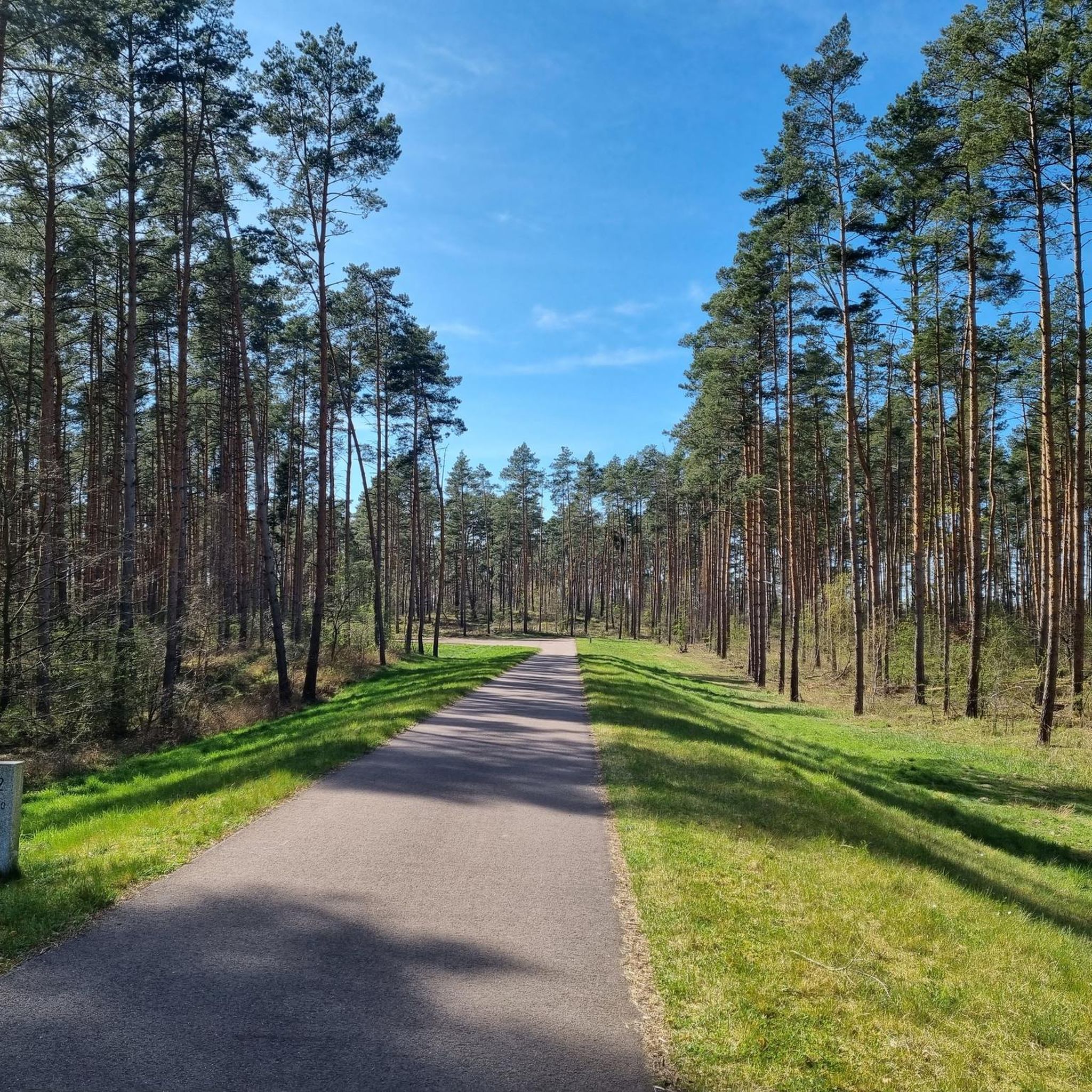
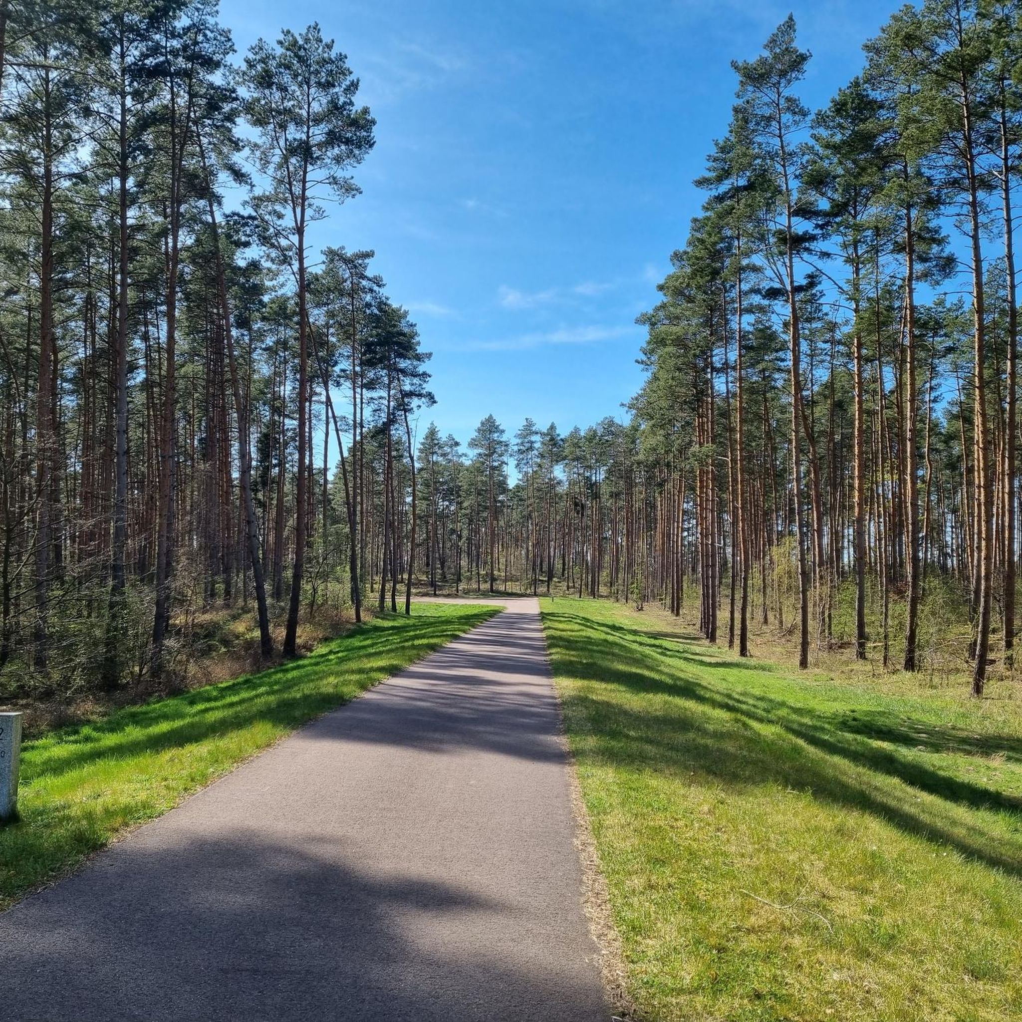
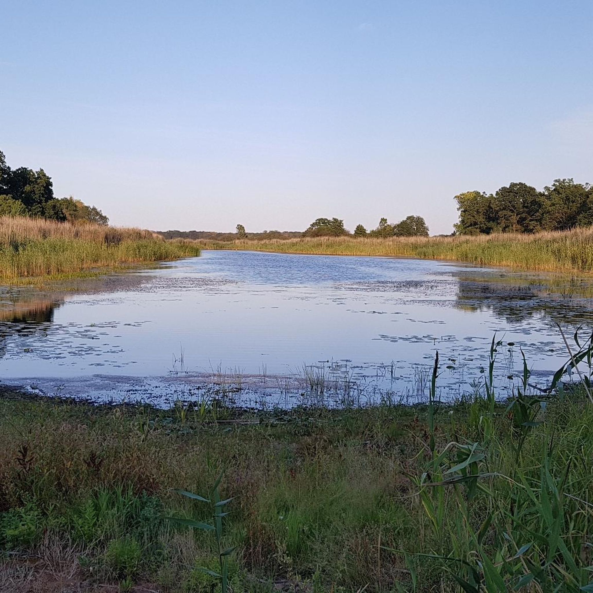
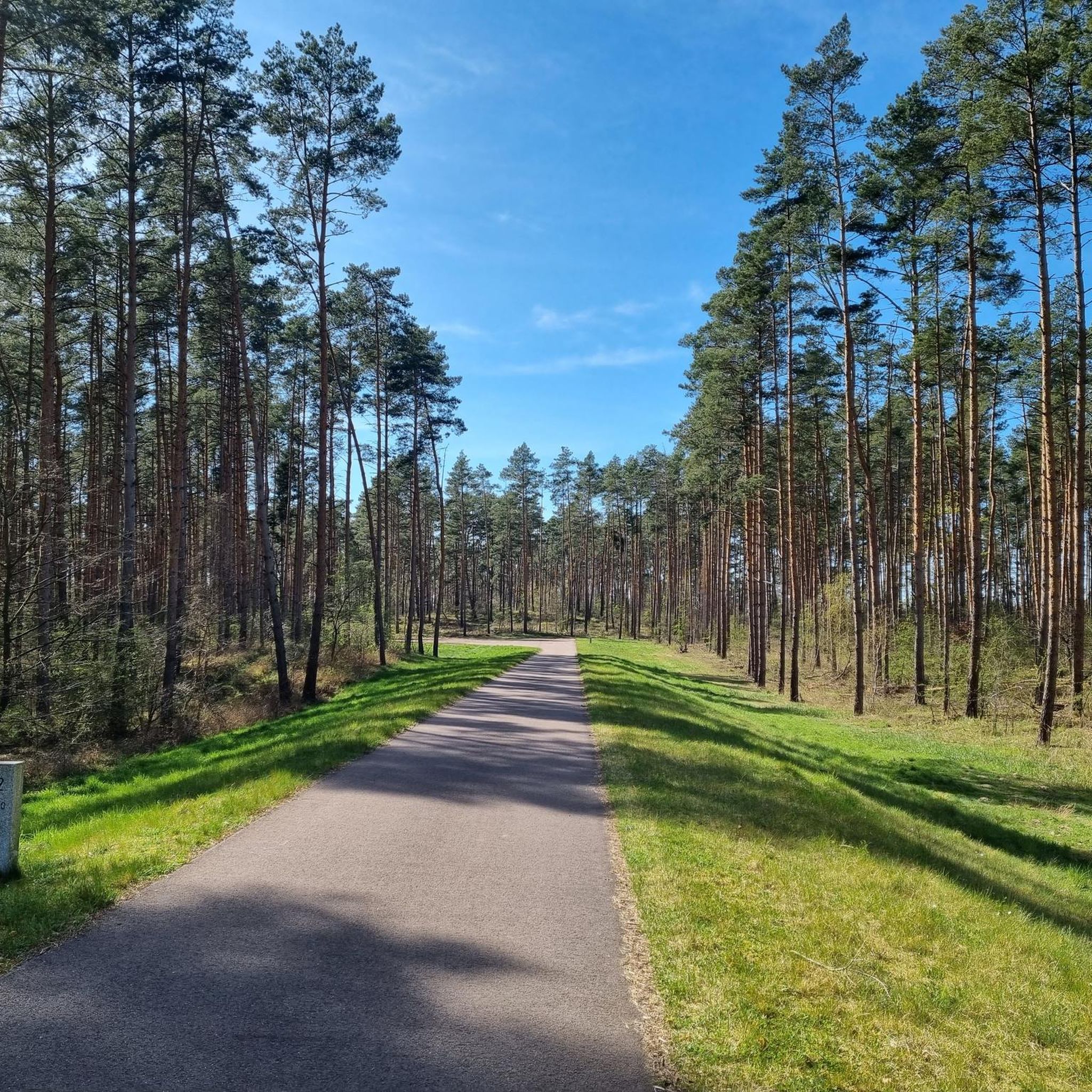

Tips from the Community

You can also go into the water there for a little refreshment in the summer
0
0


The small passenger ferry, on which bicycles can also be taken, is operated privately by the Elbterrassen hotel and restaurant opposite. https://www.elbterrassen.de/ The operating times are not fixed. It is definitely advisable to book in advance.
0
0
There is now also a covered seating area here.
0
0

Overview of the Auenpfad
0
0
memorial stone for Roland Schmidt
0
0

The origin and meaning are explained on an information board.
2
0

The Hornhafen is located directly on the hiking trail. Here you can read information about the object being visited. The gauge house is located nearby. There you can read the water levels for different years.
1
0
Frequently Asked Questions
How many hiking trails are available in Kühnauer Forst?
Kühnauer Forst offers a comprehensive network of over 690 hiking trails, catering to a wide range of preferences and abilities.
What is the typical terrain like for hiking in Kühnauer Forst?
The terrain in Kühnauer Forst is primarily characterized by dense woodlands and is relatively flat, featuring minimal elevation changes. Many paths traverse forested areas, providing a tranquil setting for outdoor exploration.
Are there any easy hiking routes suitable for beginners in Kühnauer Forst?
Yes, Kühnauer Forst is very accessible for beginners, with over 490 easy routes. An example is the Hiking loop from Hochwasser2013, which is 5.3 km long and takes about 1 hour 20 minutes to complete.
What do other hikers say about their experience in Kühnauer Forst?
The komoot community highly rates Kühnauer Forst, with an average score of 4.6 stars from over 1,200 reviews. Hikers often praise the peaceful forest paths and the accessibility of the trails.
Are there any circular hiking routes in Kühnauer Forst?
Yes, many of the trails in Kühnauer Forst are circular routes. For example, the The Buschgraben loop from Aken, Waldschänke is a moderate 9.3 km loop that winds through the forested areas.
What natural features or landmarks can I expect to see while hiking?
While hiking in Kühnauer Forst, you can explore various natural features and points of interest. Notable highlights include the DBU Nature Heritage Kühnauer Heath, as well as paths like the Paved dike path and the Old Stone-Paved Path.
Are there any routes that follow water features?
Yes, several paths in Kühnauer Forst lead along water features. The The Buschgraben – Pegelhaus at Hornhafen loop from Aken, Waldschänke is a popular route that offers views towards the Hornhafen and follows the Buschgraben.
What are some longer hiking options in Kühnauer Forst?
For those looking for a longer hike, the Roland Schmidt Memorial Stone – Erhard Kröber Memorial Cross loop from Obersee covers 12.3 km and typically takes around 3 hours 6 minutes to complete.
Are there any challenging hikes in Kühnauer Forst?
While Kühnauer Forst is generally known for its flat and accessible terrain, there are a few routes classified as difficult, totaling 14 trails. These might offer slightly more varied conditions or longer distances compared to the majority of easy and moderate paths.
Is Kühnauer Forst suitable for family outings?
Given the minimal elevation changes and the abundance of easy routes, Kühnauer Forst is well-suited for family outings. The flat, forested paths provide a pleasant environment for walks with children.
Is parking available for hikers in Kühnauer Forst?
Specific parking information for Kühnauer Forst is not detailed in our guide. We recommend checking local signage or using navigation apps for designated parking areas near trailheads.
How can I get to Kühnauer Forst using public transport?
Information regarding public transport access to Kühnauer Forst is not explicitly provided. It is advisable to consult local public transport schedules and routes for the Dessau-Roßlau area to plan your journey.
What is the best time of year to go hiking in Kühnauer Forst?
While specific seasonal recommendations are not available, the dense woodlands of Kühnauer Forst likely offer pleasant hiking conditions during spring and autumn with vibrant foliage, and shaded relief during warmer summer months. Winter hikes are also possible, depending on snow conditions.
Most popular routes in Kühnauer Forst
Most popular attractions in Kühnauer Forst

Get inspired with the komoot mobile app


Explore more
Browse the best Hikes in other regions.
