The best mountain hikes in Eisenpfähle
4.9
(71)
296
hikers
38
hikes
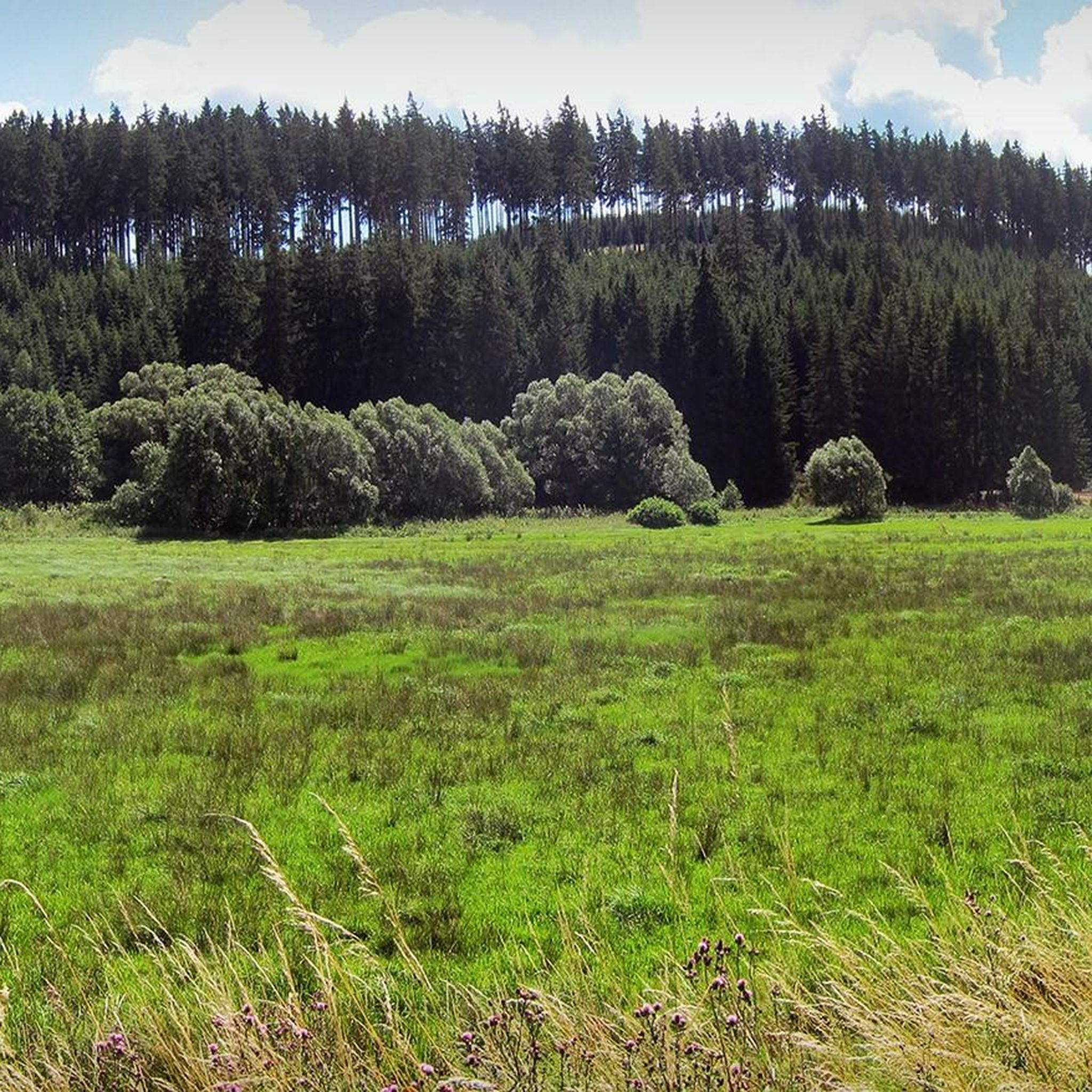
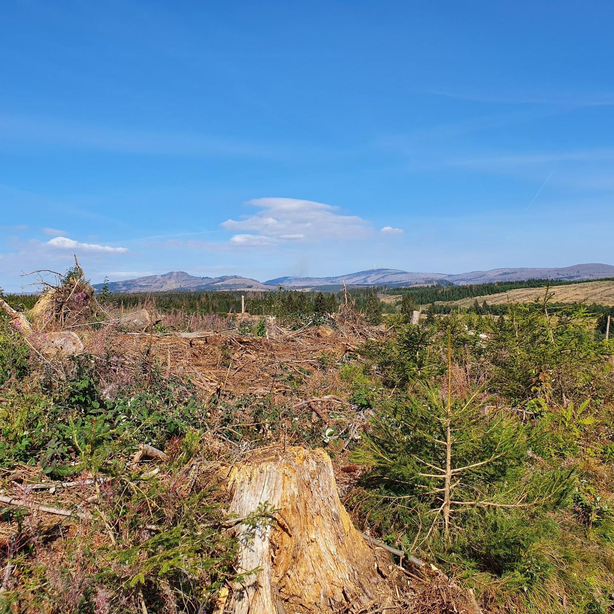
Mountaineering routes in Eisenpfähle, situated within the Harz Mountains, traverse a landscape defined by dense coniferous forests, deep valleys, and granite rock formations. The region offers a variety of terrain, from challenging ascents to prominent summits to more accessible trails along streams and through woodlands. Elevations vary, providing diverse experiences for mountaineers.
Best mountaineering routes in Eisenpfähle
- The most popular mountaineering route is Eckerlochstieg Trail – Brocken Summit loop from Elendstal, a 14.1 miles (22.8 km) trail that takes…
Last updated: June 26, 2026
4.9
(7)
38
hikers
22.8km
06:54
670m
670m
Hard mountaineering route. Very good fitness required. Mostly accessible paths. Sure-footedness required.
5.0
(2)
6
hikers
Easy mountaineering route. Great for any fitness level. Easily-accessible paths. Suitable for all skill levels.

Sign up for free
5.0
(2)
8
hikers
6.85km
02:12
270m
280m
Hard mountaineering route. Good fitness required. Sure-footedness, sturdy shoes and alpine experience required.
5.0
(3)
10
hikers
15.9km
05:01
610m
610m
Hard mountaineering route. Very good fitness required. Easily-accessible paths. Suitable for all skill levels.
8
hikers
13.4km
03:57
400m
400m
Moderate mountaineering route. Good fitness required. Easily-accessible paths. Suitable for all skill levels.
Get access to more routes and recommendations from other explorers.
Sign up for free
Already have an account?
Our route recommendations are based on thousands of hikes, rides, and runs completed by other people on komoot.
Start today with a free account
Your next adventure awaits.
Login or Signup
Tips from the Community

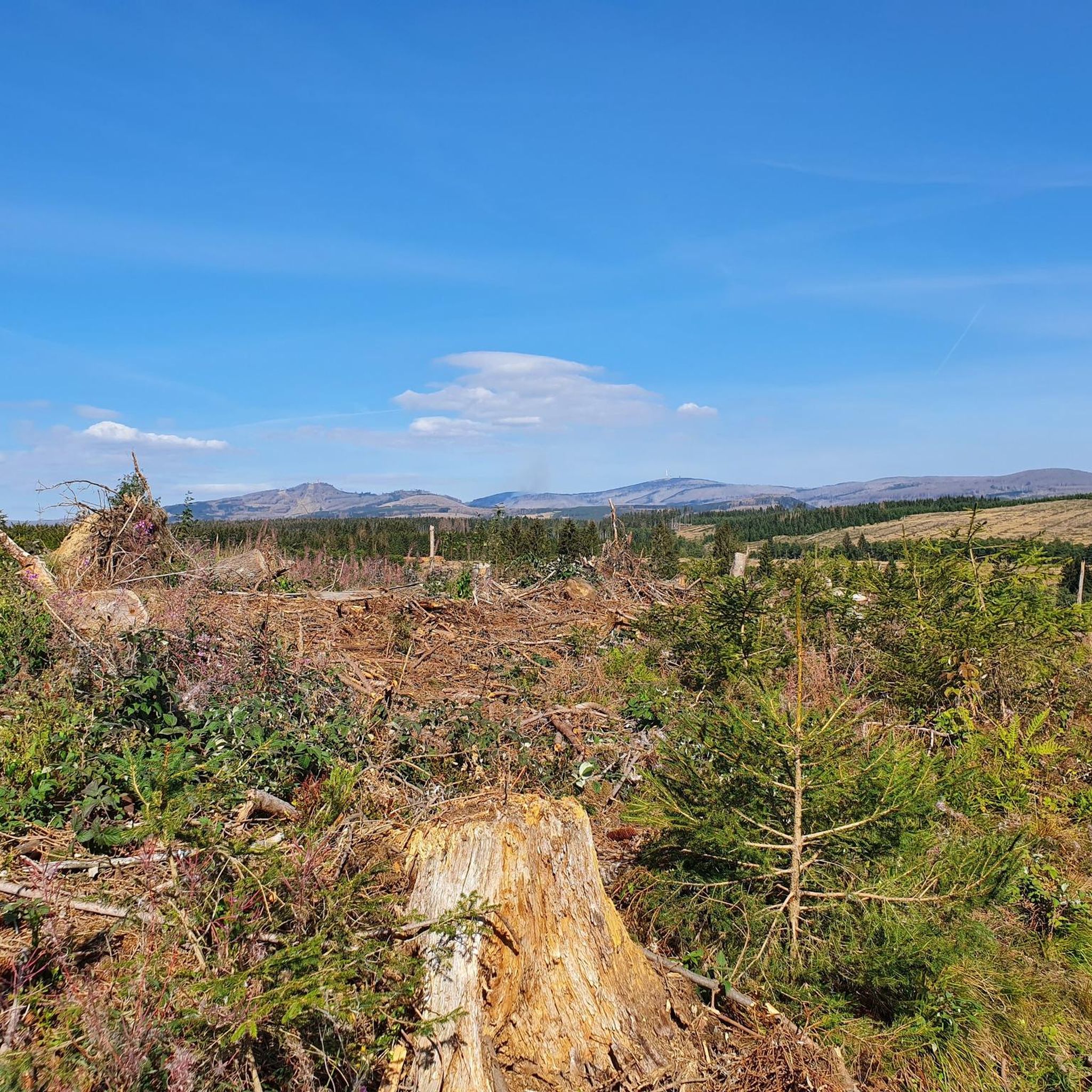
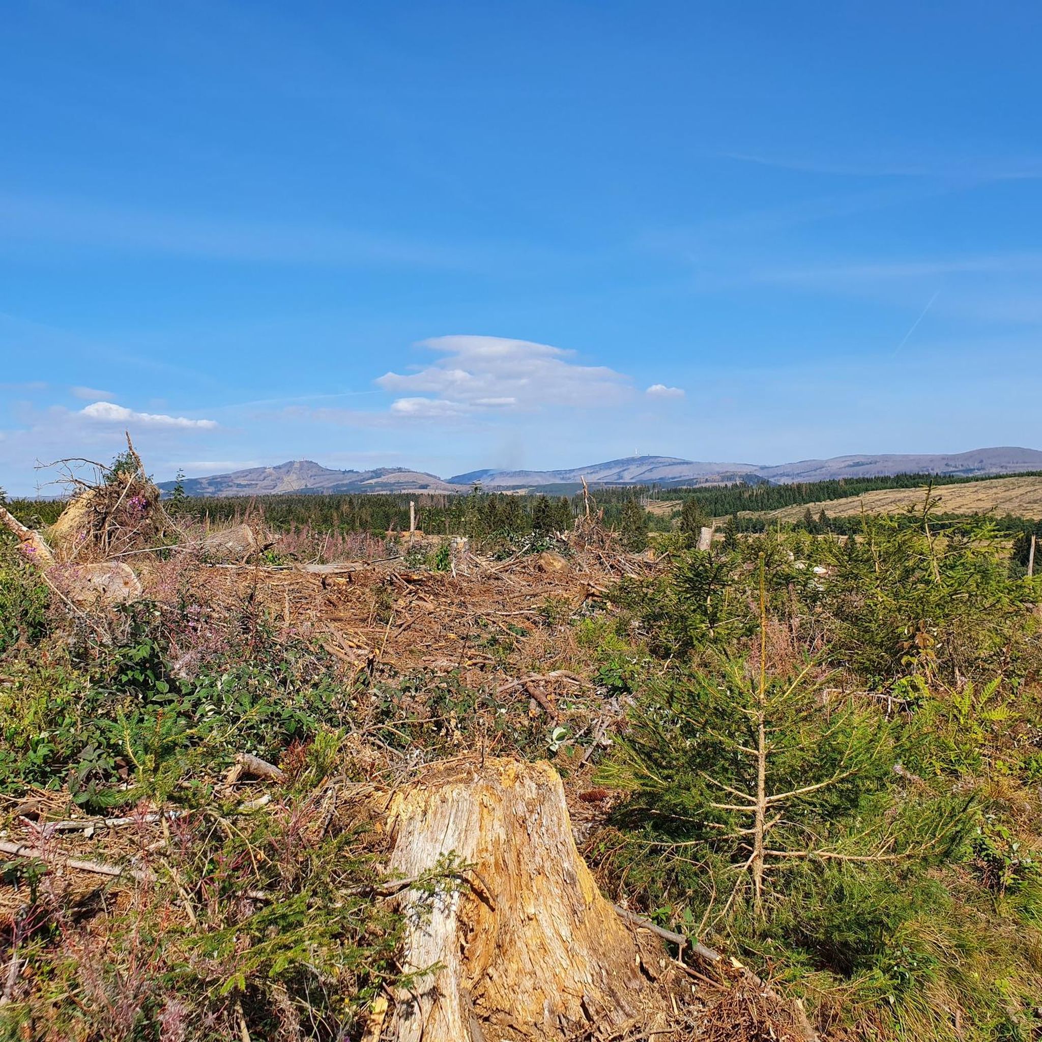
Beautiful view, can really be recommended.
0
0


A beautiful path through the forest
0
0

a little off the path, at a viewpoint, view of Elend
0
0

It's great that you can climb the cliffs.
3
0

One of the many hiking trails! Very beautiful!
7
0

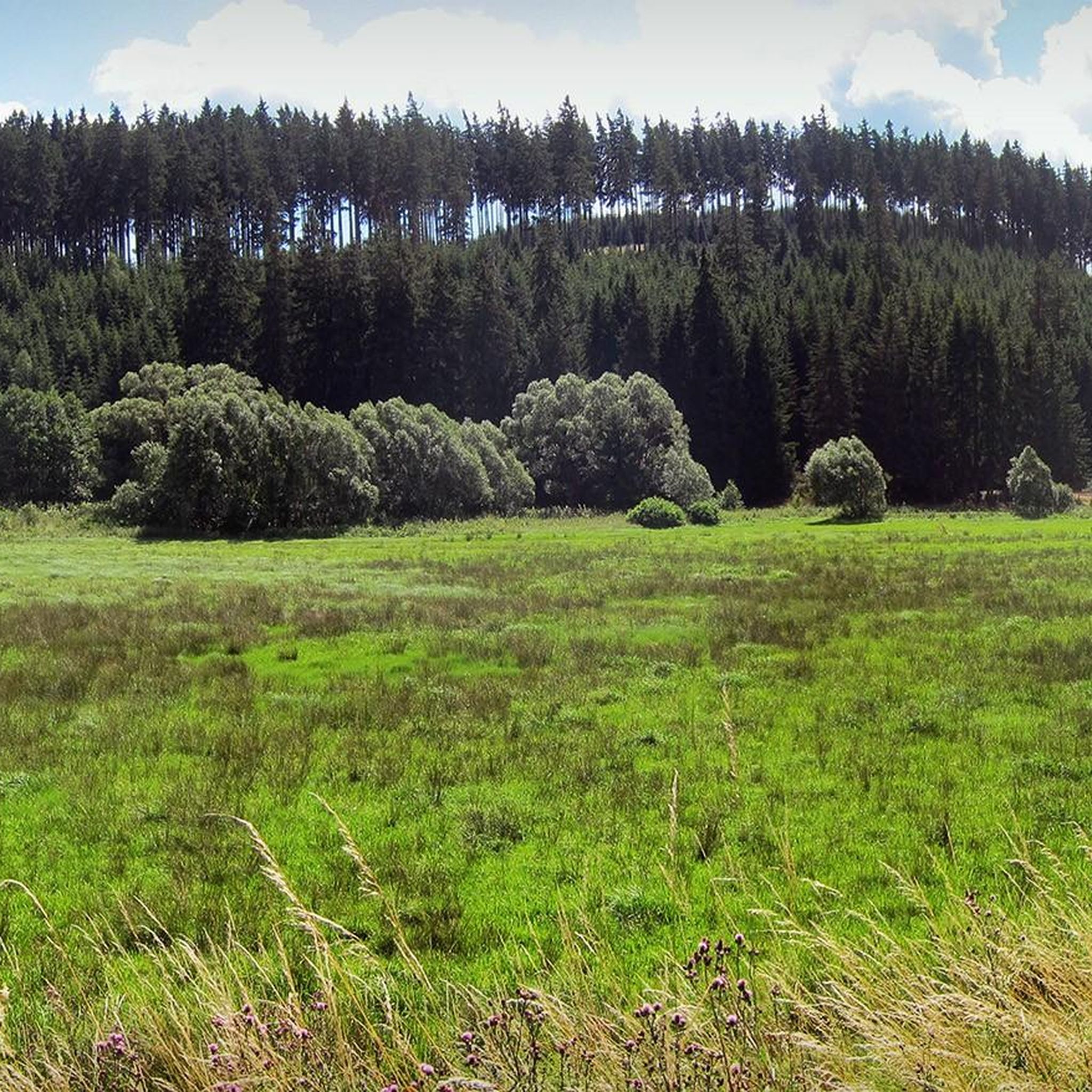
Fairytale-like, idyllic, gently rippling…
3
0

375 steps lead up this staircase to Wurmberg
8
0
Frequently Asked Questions
What kind of landscape can I expect on mountaineering routes in Eisenpfähle?
Mountaineering in Eisenpfähle, located within the Harz Mountains, offers a diverse landscape characterized by dense coniferous forests, deep valleys, and distinctive granite rock formations. You'll find a mix of challenging ascents to prominent summits and more accessible trails winding along streams and through woodlands.
How many mountaineering routes are available in Eisenpfähle?
There are 39 mountaineering routes available in Eisenpfähle, catering to various skill levels. These include 3 easy routes, 20 moderate routes, and 16 difficult routes.
Are there any easy mountaineering routes suitable for beginners or a relaxed day out?
Yes, for an easier experience, consider the Ascent to the snoring cliff – Forest path in Elendstal loop from Elendstal. This 3.6-mile (5.8 km) route is generally completed in under two hours and offers a pleasant walk through the valley's forests.
What are some challenging mountaineering routes in Eisenpfähle?
For a more demanding adventure, the Eckerlochstieg Trail – Brocken Summit loop from Elendstal is a difficult 14.1-mile (22.8 km) route that leads to the iconic Brocken Summit, featuring significant elevation gain. Another challenging option is the Große Wurmbergschanze Stairs – Wurmberg Summit loop from Elendstal, which is 9.9 miles (15.9 km) long.
Are there any routes that feature waterfalls or scenic water features?
Absolutely! The Warme Bode stream – Lower Bode Waterfall loop from Braunlage is a moderate 8.3-mile (13.3 km) path that follows the Warme Bode stream, offering scenic waterfalls and varied forest terrain.
What do other mountaineers say about the routes in Eisenpfähle?
The routes in Eisenpfähle are highly rated by the komoot community, with an average score of 5.0 stars from over 60 reviews. Mountaineers often praise the diverse terrain, from dense woodlands to river valleys and granite outcrops, and the options available for various ability levels.
Are there any circular mountaineering routes in Eisenpfähle?
Yes, many routes in Eisenpfähle are designed as loops. Examples include the challenging Eckerlochstieg Trail – Brocken Summit loop from Elendstal, the moderate Warme Bode stream – Lower Bode Waterfall loop from Braunlage, and the easier Ascent to the snoring cliff – Forest path in Elendstal loop from Elendstal.
What are some interesting natural attractions or landmarks to see along the routes?
Along your mountaineering routes, you can discover several natural attractions. Consider visiting the Wilhelmsborn Spring, exploring the scenic Bremke Valley, or traversing the beautiful Allerbach Valley. These highlights offer unique natural beauty within the region.
How long do mountaineering routes in Eisenpfähle typically take to complete?
Route durations vary significantly based on difficulty and length. For instance, an easy route like the Ascent to the snoring cliff – Forest path in Elendstal loop from Elendstal can be completed in about 1 hour 54 minutes, while a difficult one like the Eckerlochstieg Trail – Brocken Summit loop from Elendstal might take around 6 hours 53 minutes.
Are there any routes that offer a mix of forest paths and more challenging sections?
Yes, the Mäuseklippen – Ascent to the snoring cliff loop from Elendstal is a difficult 4.3-mile (6.8 km) route that combines forest paths with more challenging sections, offering a varied experience for mountaineers.
What is the overall character of mountaineering in Eisenpfähle?
Mountaineering in Eisenpfähle is defined by its dense woodlands, picturesque river valleys, and striking granite outcrops. The network of routes provides options for all ability levels, from gentle forest paths to demanding summit ascents, ensuring a rewarding experience for every outdoor enthusiast.
Most popular routes in Eisenpfähle
Most popular attractions in Eisenpfähle

Get inspired with the komoot mobile app


Explore more
Browse the best Mountain Hikes & Routes in other regions.
