The best road cycling routes in Feuchtlach
4.5
(351)
3,815
riders
509
rides
Road cycling routes in Feuchtlach are situated within Landkreis Ansbach, Germany, characterized by a landscape of forests, agricultural fields, and numerous small lakes and ponds. The terrain is generally flat to gently rolling, with modest elevation changes, making it suitable for various road cycling abilities. The region features a network of paved roads connecting rural communities and historical points of interest, such as the Lichtenau Fortress.
Best road cycling routes in Feuchtlach
- The most popular road cycling route is Lichtenau Fortress – Gotzenmühle loop from Ansbach, a 24.0 miles (38.7 km) trail that takes 1 hour 41 minutes to complete. This route offers views of the historic Lichtenau Fortress and passes through rural landscapes.
- Another top favourite among local road cyclists is Little Brombach Lake – Fountain on Lake Altmühl loop from Ansbach, a moderate 54.3 miles (87.4 km) path. This route features varied terrain around Little Brombach Lake and Lake Altmühl.
- Local road cyclists also love the Pflugsmühle Beer Garden – Lichtenau Fortress loop from Ansbach, a 40.7 miles (65.5 km) trail leading through rural scenery and past historical sites, often completed in about 2 hours 53 minutes.
- Road cycling in Feuchtlach is defined by forests, lakes, and rural landscapes. The network offers options for different ability levels, from easy loops to moderate distances.
- The routes in Feuchtlach are highly rated by the komoot community with an average score of 4.6 stars from over 290 reviews. More than 3,100 road cyclists have used komoot to explore Feuchtlach's varied terrain.
Last updated: July 5, 2026
4.7
(18)
69
riders
38.7km
01:41
190m
200m
Easy road ride. Great for any fitness level. Mostly well-paved surfaces and easy to ride.
5.0
(5)
40
riders
86.8km
03:44
480m
480m
Moderate road ride. Good fitness required. Some segments of this route may be unpaved and difficult to ride.

Sign up for free
4.3
(3)
53
riders
65.4km
02:55
300m
300m
Moderate road ride. Good fitness required. Mostly well-paved surfaces and easy to ride.
4.6
(5)
35
riders
47.1km
02:10
250m
250m
Moderate road ride. Good fitness required. Some segments of this route may be unpaved and difficult to ride.
5.0
(1)
41
riders
18.8km
00:45
50m
50m
Easy road ride. Great for any fitness level. Mostly well-paved surfaces and easy to ride.
Get access to more routes and recommendations from other explorers.
Sign up for free
Already have an account?
Our route recommendations are based on thousands of hikes, rides, and runs completed by other people on komoot.
Start today with a free account
Your next adventure awaits.
Login or Signup
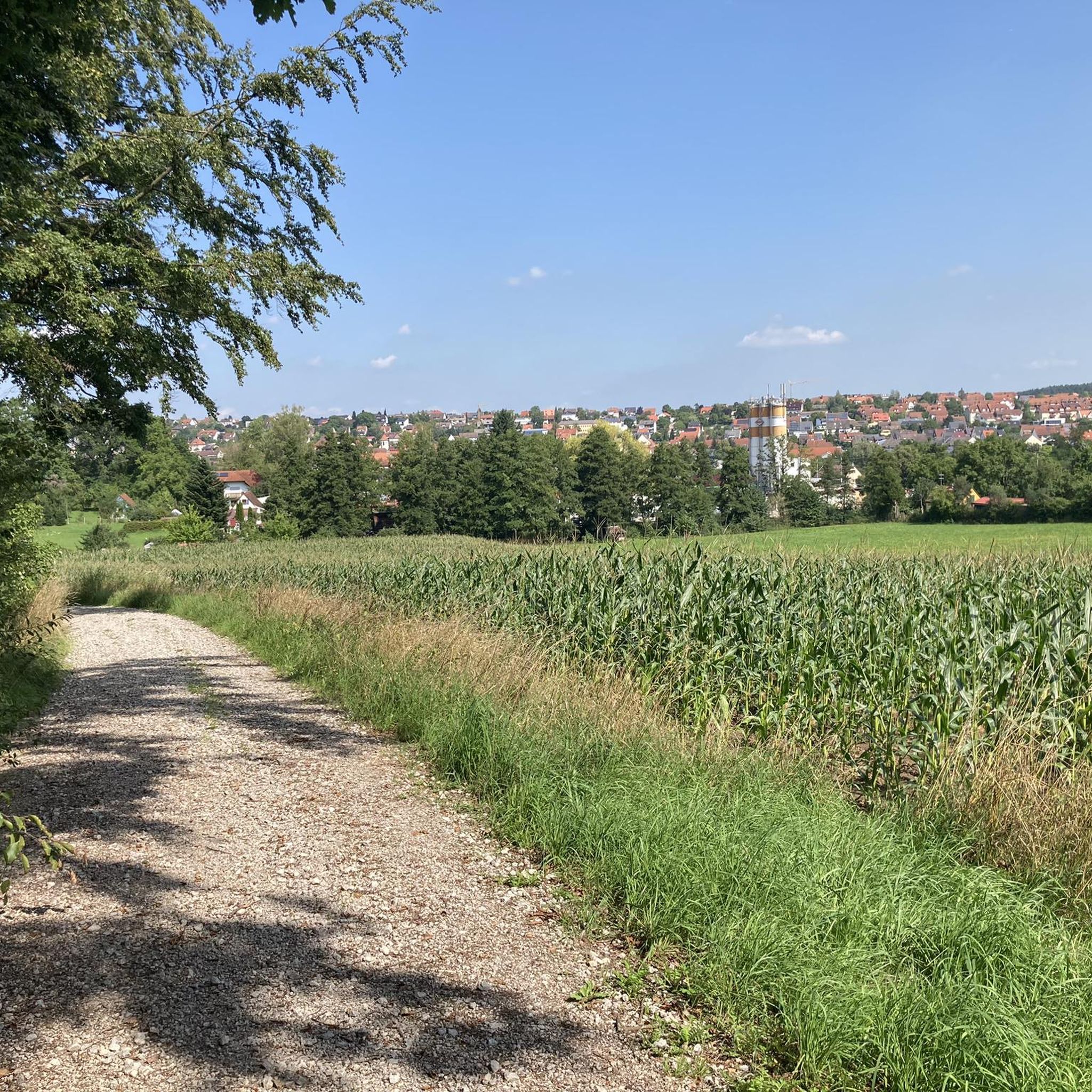
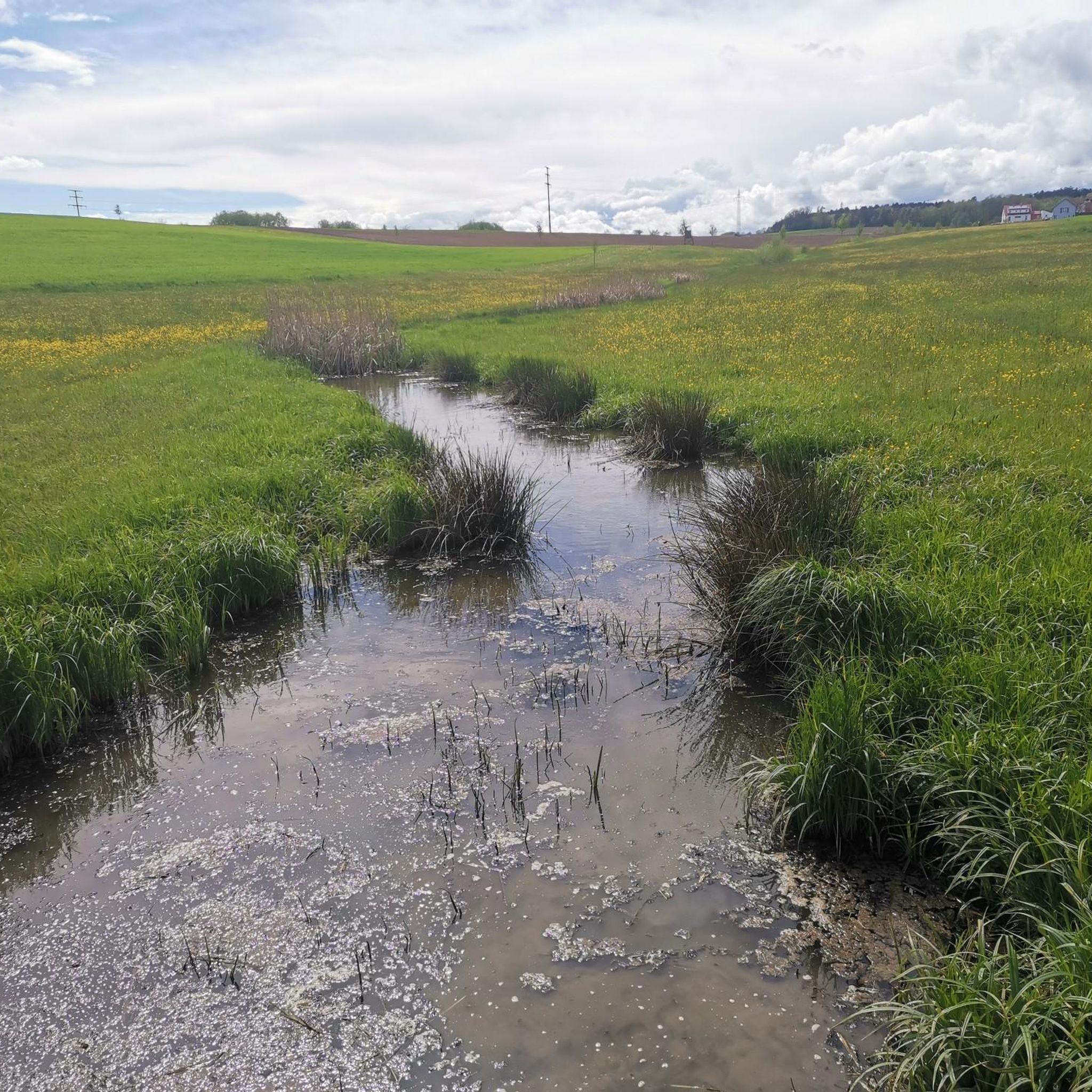
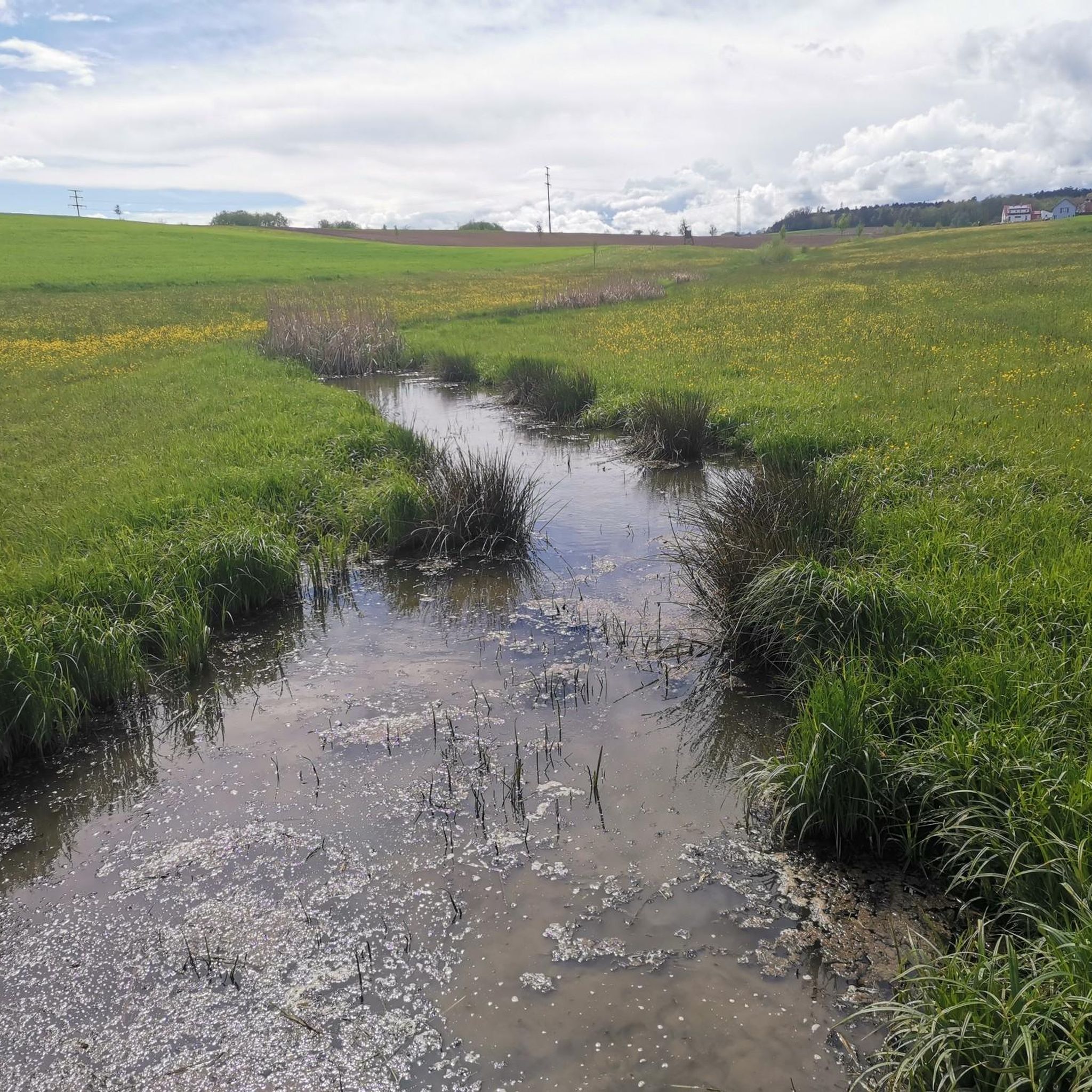
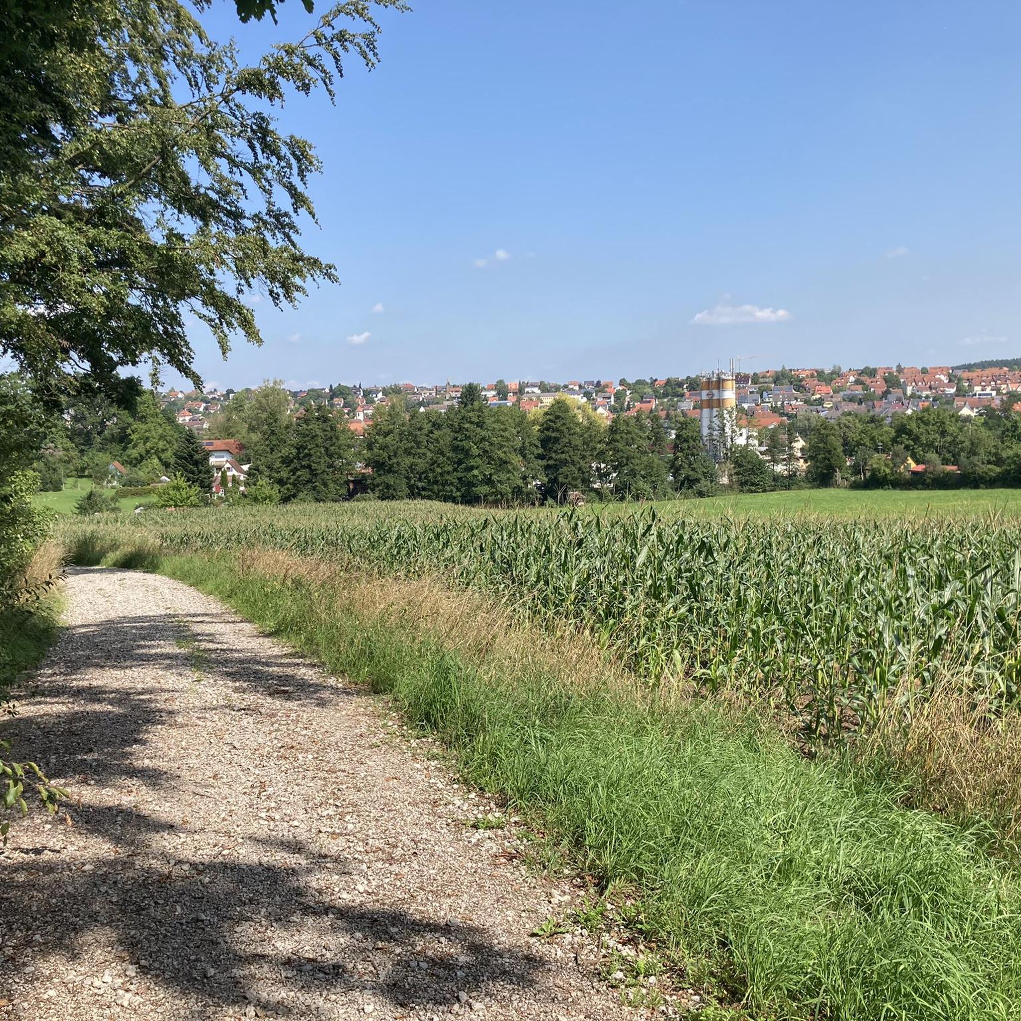

Tips from the Community

Every hour towards Stuttgart, with trains and S-Bahn every half hour to Nuremberg.
0
0

As you pass through Leutershausen, two lovely beer gardens invite you to rest. At the Gasthaus Sonne und neue Post, you can easily unwind.
0
0

Very nice path along the Rezat
0
0
One of the highlights of the place
0
0
About the Franconian Retzat
0
0

Very nice quiet street for pedestrians and cyclists
0
0

This is the upper city gate in Leutershausen
0
0
Frequently Asked Questions
How many road cycling routes are available in Feuchtlach?
Feuchtlach offers a wide selection of road cycling routes, with over 500 options available. These routes cater to various skill levels, from easy loops to more challenging distances.
What kind of terrain can I expect on road cycling routes in Feuchtlach?
The terrain in Feuchtlach, located within Landkreis Ansbach, Germany, is generally flat to gently rolling. You'll cycle through a landscape characterized by forests, agricultural fields, and numerous small lakes and ponds, with modest elevation changes.
Are there easy road cycling routes suitable for beginners or families in Feuchtlach?
Yes, Feuchtlach has a good selection of easy routes. Approximately 130 routes are classified as easy, featuring gentle gradients and suitable for those new to road cycling or looking for a relaxed ride. An example is the Pond in Middle Franconia – Lichtenau Fortress loop from Ansbach, which is 16.4 miles long.
What are some notable landmarks or attractions I can see along the road cycling routes?
Many routes pass by interesting points. You can explore historical sites like the Lichtenau Fortress. Natural features include the Pond chain on the Silberbach with half-timbered house, the Feuchtlachgraben Stream, and the Pond of the Feuchtlachgraben. The Cycle Path Claffheim–Ansbach is also a popular segment.
Are there any longer or more challenging road cycling routes for experienced riders?
Absolutely. While the region is generally gently rolling, there are routes with more significant distances and elevation gains. For instance, the Little Brombach Lake – Fountain on Lake Altmühl loop from Ansbach covers nearly 54 miles (87.4 km) with almost 500 meters of elevation, offering a moderate challenge.
What do other road cyclists say about their experiences in Feuchtlach?
The road cycling routes in Feuchtlach are highly regarded by the komoot community, holding an average rating of 4.5 stars from over 300 reviews. Cyclists often praise the varied rural scenery, the network of paved roads connecting communities, and the opportunities to see historical sites like Lichtenau Fortress.
Are there circular road cycling routes available in Feuchtlach?
Yes, many of the road cycling routes in Feuchtlach are designed as loops, allowing you to start and end at the same point. Examples include the popular Lichtenau Fortress – Gotzenmühle loop from Ansbach and the Beer Garden at the Island Gern – Cycle Path Claffheim–Ansbach loop from Ansbach.
What is the typical length of road cycling routes in Feuchtlach?
Route lengths vary significantly. You can find shorter, easy loops around 16-24 miles (26-38 km), such as the Pond in Middle Franconia – Lichtenau Fortress loop from Ansbach. There are also longer, moderate routes like the Herrieder Gate, Ansbach – Waldstrandbad Windsbach loop from Ansbach, which is over 41 miles (66 km).
Can I find places to eat or drink along the road cycling routes in Feuchtlach?
While specific cafes are not detailed for every route, the network of paved roads connects rural communities. Many routes, like the Beer Garden at the Island Gern – Cycle Path Claffheim–Ansbach loop from Ansbach, are named after or pass by establishments, suggesting opportunities for refreshments in villages and towns along the way.
What is the best time of year for road biking in Feuchtlach?
Given the region's characteristics of forests and agricultural fields, spring, summer, and early autumn generally offer the most pleasant conditions for road cycling. These seasons provide comfortable temperatures and vibrant scenery. Winter cycling might be possible but could be affected by colder weather and potential icy conditions.
Is Feuchtlach well-connected for road cyclists using public transport or looking for parking?
While specific public transport links to trailheads are not detailed, Feuchtlach is situated within Landkreis Ansbach, a region with established infrastructure. Many routes start from Ansbach, a larger town, which typically offers better public transport connections and parking facilities for cyclists looking to explore the surrounding areas.
Most popular routes in Feuchtlach
Most popular attractions in Feuchtlach

Get inspired with the komoot mobile app


Explore more
Browse the best Road cycling routes in other regions.
