The best walks and hikes in Köschinger Forst
4.6
(9604)
40,639
hikers
82
hikes
Hiking in Köschinger Forst offers expansive forested landscapes within the Naturpark Altmühltal, characterized by a mix of spruce, oak, and beech trees. This continuous woodland provides a diverse natural environment with over 100 km of paths. The terrain features gentle elevations and natural elements like the Schambach Spring, making it suitable for various outdoor activities.
Best hiking trails in Köschinger Forst
- The most popular hiking route is Kasinger Juniper Heath – View of Kasing loop from Memoryzaun, a 5.3 miles (8.5 km) moderate trail that takes about 2 hours 16 minutes to complete, offering views over Kasing and through juniper heath.
- Another top favourite among local hikers is View of Ingolstadt – Köschinger Forest loop from Rundwanderweg Tafel, an easy 2.8 miles (4.5 km) path. This route provides views of Ingolstadt while traversing forest trails.
- Local hikers also love the Willibald's hut – Willibald Hut loop from Köschinger Waldhaus, a 4.6 miles (7.4 km) trail leading through dense woodlands, often completed in about 1 hour 58 minutes.
- Hiking in Köschinger Forst is defined by extensive forested areas, the serene Schambach Spring, and opportunities for wildlife observation. The network offers options for different ability levels, from easy walks to more extensive routes.
- The routes in Köschinger Forst are highly rated by the komoot community with an average score of 4.5 stars from over 480 reviews. More than 2300 hikers have used komoot to explore Köschinger Forst's varied terrain.
Last updated: June 27, 2026
4.4
(27)
98
hikers
8.49km
02:16
100m
100m
Moderate hike. Good fitness required. Easily-accessible paths. Suitable for all skill levels.
4.4
(16)
111
hikers
4.46km
01:12
50m
50m
Easy hike. Great for any fitness level. Easily-accessible paths. Suitable for all skill levels.

Sign up for free
4.0
(11)
80
hikers
7.25km
01:55
70m
70m
Easy hike. Great for any fitness level. Easily-accessible paths. Suitable for all skill levels.
4.0
(7)
60
hikers
5.48km
01:27
50m
50m
Easy hike. Great for any fitness level. Easily-accessible paths. Suitable for all skill levels.
4.8
(12)
20
hikers
8.38km
02:15
100m
100m
Moderate hike. Good fitness required. Easily-accessible paths. Suitable for all skill levels.
Get access to more routes and recommendations from other explorers.
Sign up for free
Already have an account?
Our route recommendations are based on thousands of hikes, rides, and runs completed by other people on komoot.
Start today with a free account
Your next adventure awaits.
Login or Signup

Tips from the Community

beautiful mosaic floor depicting the cathedral in Santiago de Compostela. From here it's only 2600km to Santiago 😉🏃
0
0

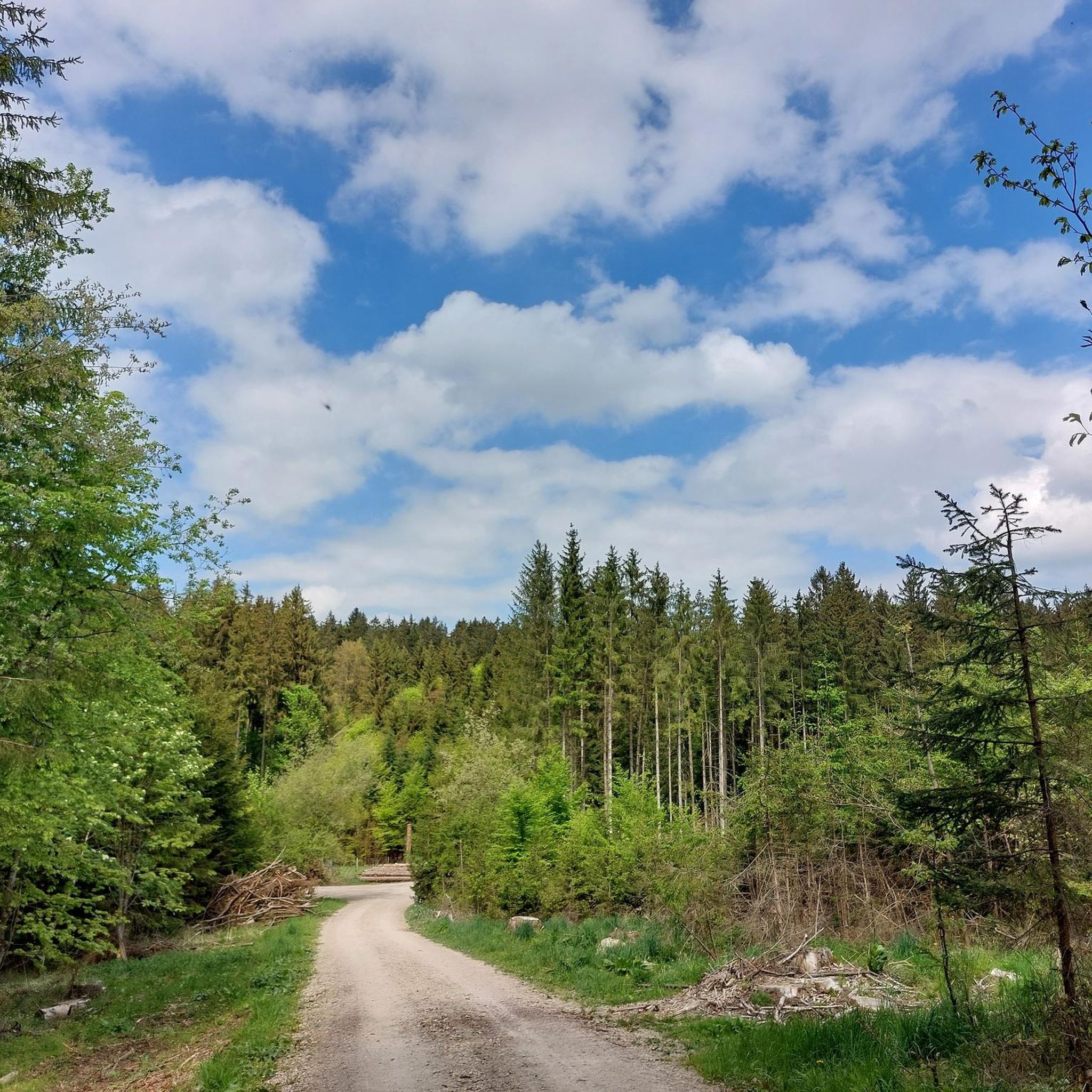
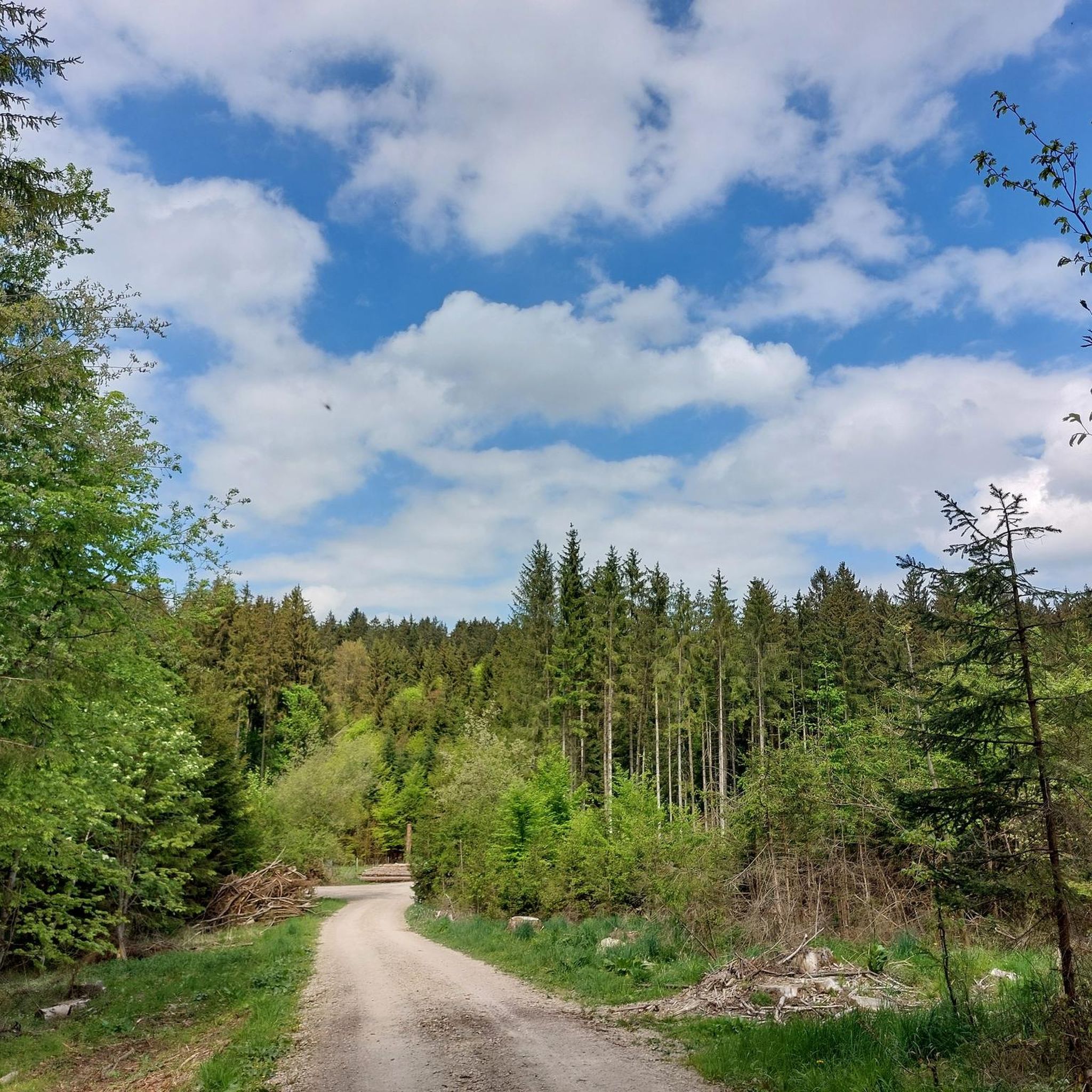
Beautiful and very quiet landscape
2
0

A little off the path you will find this table with two benches.
0
0
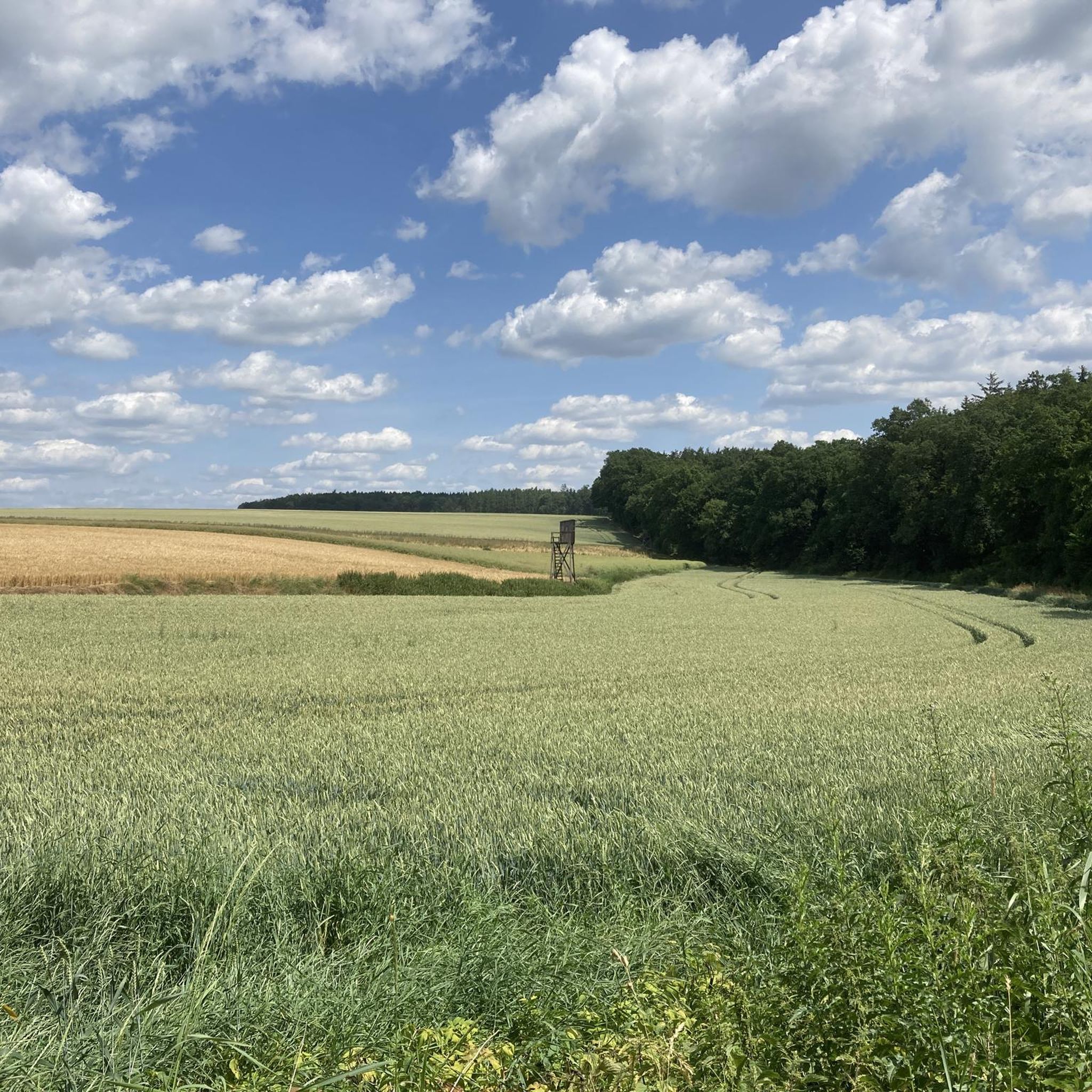
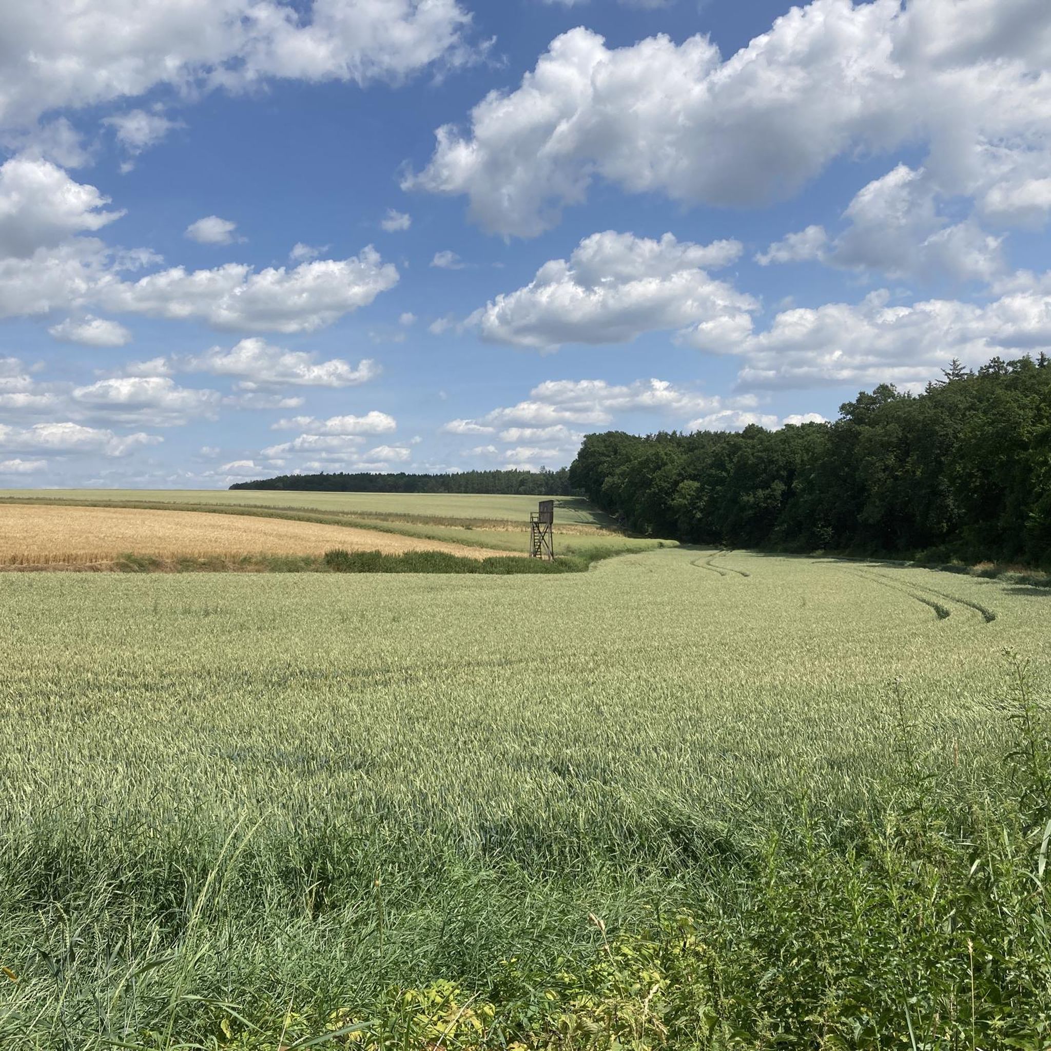
Nice view towards Kösching and Lenting.
0
0
Nice rounds. Of course you can also combine them.
0
0
Very nice area to run. Depending on the route, there are also some vertical meters.
0
0

On this hiking board you can see three different hiking tours. - Oak round - Marathon lap - Flayer round
3
0

Frequently Asked Questions
How many hiking trails are available in Köschinger Forst?
Köschinger Forst offers a wide network of hiking paths, with over 80 routes available on komoot. The area is known for its extensive forested landscapes, providing over 100 km of trails for exploration.
Are there easy hiking trails suitable for beginners or families in Köschinger Forst?
Yes, Köschinger Forst is very beginner and family-friendly. Approximately half of the available routes are rated as easy. An excellent option is the View of Ingolstadt – Köschinger Forest loop from Rundwanderweg Tafel, an easy 4.5 km path that offers views of Ingolstadt while traversing forest trails.
What kind of natural features can I expect to see while hiking in Köschinger Forst?
The forest is characterized by extensive woodlands with spruce, oak, and beech trees. A particularly idyllic natural monument is the Schambach Spring and Historic Watermill, where the Schambach river originates. You can also find the Schwanenquelle, another source of the Schambach, and the Gump Cave.
Are there any cultural or historical points of interest along the trails?
Yes, Köschinger Forst offers unique cultural and historical markers. You can find the Camino de Santiago Distance Marker and Wayside Cross, providing a spot for rest and reflection. Additionally, look out for the Camino Art Trees within the Naturpark Altmühltal, and the historic Rotes Kreuz Wayside Cross, which once marked ancient salt roads.
Can I observe wildlife in Köschinger Forst?
Yes, Köschinger Forst provides opportunities for wildlife observation. The forest includes a 3000-hectare enclosed wildlife park near the Köschinger Waldhaus, where visitors can observe fallow deer and wild boars. Some hiking routes also offer the chance to see these animals in their natural habitat.
Are there any circular walks available in Köschinger Forst?
Many of the trails in Köschinger Forst are designed as circular walks, allowing you to start and end at the same point. An example is the Willibald's hut – Willibald Hut loop from Köschinger Waldhaus, a 7.4 km trail through dense woodlands.
What do other hikers enjoy most about Köschinger Forst?
The area is highly rated by the komoot community, with an average score of 4.5 stars from over 480 reviews. Hikers often praise the extensive forested areas, the serene natural elements like the Schambach Spring, and the diverse network of well-maintained trails suitable for various ability levels.
Are there places to eat or get refreshments during a hike?
Yes, the Köschinger Waldhaus beer garden is a popular excursion destination located centrally within the Wittelsbach hunting grounds. It offers wild game dishes and is a pleasant stop for refreshments during your outdoor adventures.
What is the typical length and duration of hikes in Köschinger Forst?
Hikes in Köschinger Forst vary in length and duration. You can find shorter, easy paths like the View of Ingolstadt – Köschinger Forest loop, which is 4.5 km and takes about 1 hour 10 minutes. Longer moderate routes, such as the Kasinger Juniper Heath – View of Kasing loop, cover about 8.5 km and typically take around 2 hours 16 minutes.
Are there any viewpoints or scenic spots in Köschinger Forst?
Yes, several trails offer scenic views. For instance, the Köschinger Forest – View of Ingolstadt loop from Rundwanderweg Tafel provides vistas over the surrounding landscape, including views towards Ingolstadt. The extensive forested areas themselves offer picturesque natural scenery throughout.
Is Köschinger Forst suitable for hiking in winter?
While the guide focuses on general hiking, the extensive forested areas of Köschinger Forst can be explored in winter, offering a different, serene experience. It's always advisable to check local conditions and trail accessibility before heading out for winter hikes.
Where can I park when visiting Köschinger Forst for a hike?
Specific parking information varies by trailhead. However, popular starting points like the Köschinger Waldhaus or areas near the Rundwanderweg Tafel often have designated parking facilities. It's recommended to check the tour details on komoot for specific parking recommendations for your chosen route.
Most popular routes in Köschinger Forst
Most popular attractions in Köschinger Forst

Get inspired with the komoot mobile app


Explore more
Browse the best Hikes in other regions.
