The best road cycling routes in Stanglettenschütt
4.6
(1623)
24,368
riders
886
rides
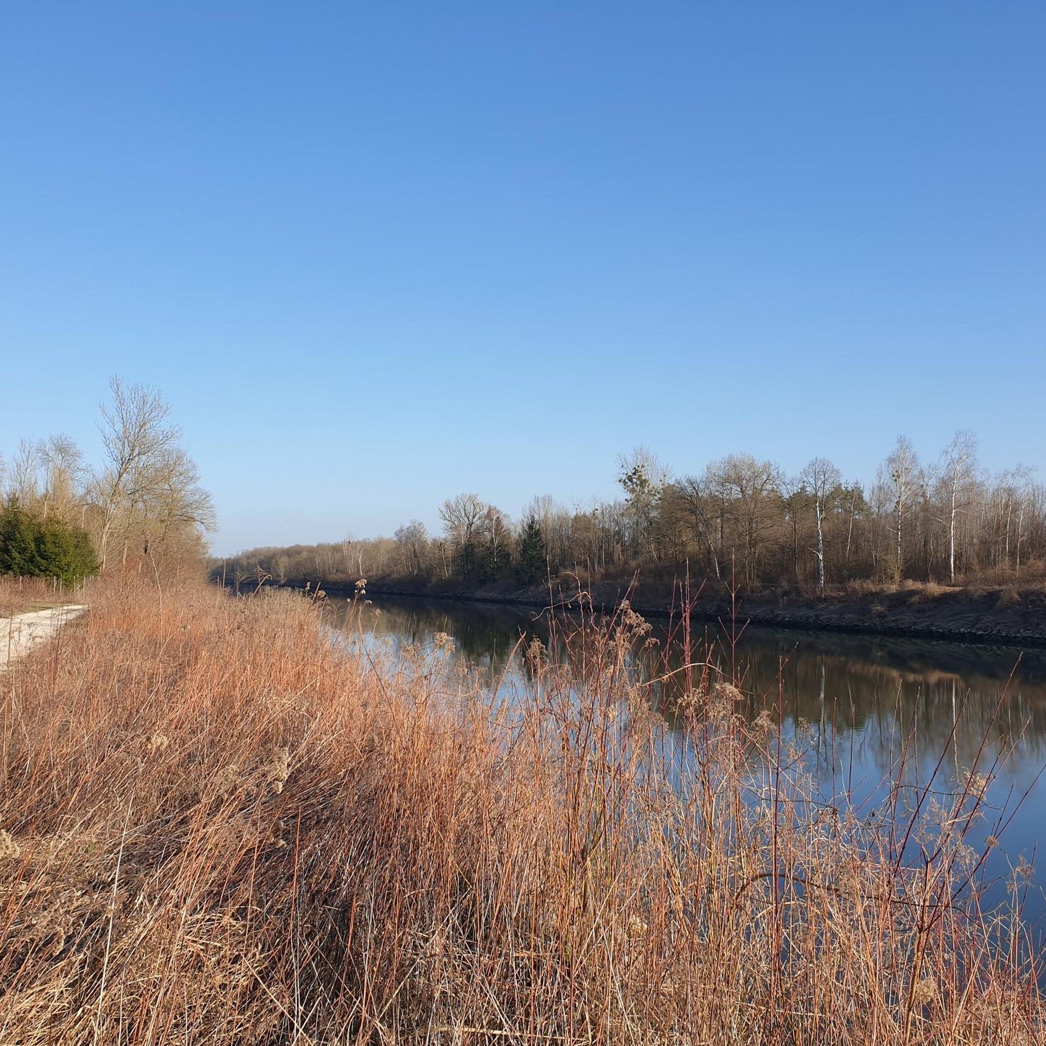
Road cycling routes in Stanglettenschütt are situated within a forested region near Ingolstadt, offering varied terrain for cyclists. The area is characterized by a mix of flat river plains, agricultural fields, and small woodlands, providing a diverse backdrop for rides. Elevations are generally low, with gentle ascents and descents across the landscape. This region provides a network of roads and paved paths suitable for road cycling.
Best road cycling routes in Stanglettenschütt
- The most popular road cycling route is Weichering Country Road – Old Water Tower loop from Weichering, a 23.6 miles (38.1 km) trail that takes 1 hour 35 minutes to complete. This easy route features rural landscapes and passes an old water tower.
- Another top favourite among local road cyclists is Weichering Country Road – Aufeldstraße (Hagau) loop from Rohrenfeld Rf, an easy 14.6 miles (23.4 km) path. This route traverses agricultural areas and small villages.
- Local road cyclists also love the Paved cycle path (Waidhofen) – Paved bike path (Groben) loop from Weichering, a 54.1 miles (87.1 km) trail leading through a network of paved cycle paths, often completed in about 3 hours 47 minutes.
- Road cycling in Stanglettenschütt is defined by flat river plains, agricultural fields, and small forests. The network offers options for different ability levels, from easy loops to more challenging moderate routes.
- The routes in Stanglettenschütt are highly rated by the komoot community with an average score of 4.6 stars from over 1,400 reviews. More than 24,000 road cyclists have used komoot to explore Stanglettenschütt's varied terrain.
Last updated: July 12, 2026
17
riders
38.0km
01:35
140m
140m
Easy road ride. Great for any fitness level. Mostly well-paved surfaces and easy to ride.
9
riders
Moderate road ride. Good fitness required. Mostly well-paved surfaces and easy to ride.

Sign up for free
5
riders
Hard road ride. Very good fitness required. Some segments of this route may be unpaved and difficult to ride.
7
riders
66.3km
02:49
270m
270m
Moderate road ride. Good fitness required. Some segments of this route may be unpaved and difficult to ride.
5.0
(1)
9
riders
Moderate road ride. Good fitness required. Mostly well-paved surfaces and easy to ride.
Get access to more routes and recommendations from other explorers.
Sign up for free
Already have an account?
Our route recommendations are based on thousands of hikes, rides, and runs completed by other people on komoot.
Start today with a free account
Your next adventure awaits.
Login or Signup
Tips from the Community

The Befreiungshalle is a memorial on the Michelsberg in the Bavarian town of Kelheim. It was built between 1842 and 1863 by King Ludwig I of Bavaria, by the architects Friedrich von Gärtner and Leo von Klenze. Ancient central buildings served as a design model for the classicist monument, which is dedicated to the "German freedom fighters". (Source Wikipedia)
0
0
The Befreiungshalle is a memorial on the Michelsberg in the Bavarian town of Kelheim. It was built between 1842 and 1863 by King Ludwig I of Bavaria by the architects Friedrich von Gärtner and Leo von Klenze. Ancient central buildings served as the design model for the neoclassical monument, which is dedicated to the "German freedom fighters". (Source: Wikipedia)
0
0

If you've cycled all the way up here, you absolutely must see the Liberation Hall and the Danube Gorge.
0
0

Optimal surface for shooting!
0
0

Mostly little traffic. Ideal with a racer
0
0

Beautiful bathing lake Harmonie
0
0

Towards Pfaffenhofen almost only downhill, fun
0
0
Frequently Asked Questions
How many road cycling routes are available in Stanglettenschütt?
Stanglettenschütt offers a wide selection of road cycling routes, with over 900 tours available on komoot. This includes a mix of easy, moderate, and difficult options to suit various skill levels.
What kind of terrain can I expect on road cycling routes in Stanglettenschütt?
The region around Stanglettenschütt, near Ingolstadt, is characterized by a diverse landscape. You'll find a mix of flat river plains, agricultural fields, and small woodlands. Elevations are generally low, with gentle ascents and descents, making for varied and enjoyable rides.
Are there road cycling routes suitable for beginners in Stanglettenschütt?
Yes, Stanglettenschütt has plenty of options for beginners. There are over 200 easy road cycling routes, perfect for those new to the sport or looking for a relaxed ride. An example is the Weichering Country Road – Aufeldstraße (Hagau) loop from Rohrenfeld Rf, which is an easy 14.6-mile path traversing agricultural areas and small villages.
Are there challenging road cycling routes for experienced cyclists?
Absolutely. For experienced cyclists seeking a challenge, Stanglettenschütt offers nearly 80 difficult road cycling routes. These routes often feature longer distances and more significant elevation changes. Consider the Aufeldstraße (Hagau) – Altmühltor Kelheim loop from Weichering, a demanding 77.8-mile route with over 2,300 feet of elevation gain.
What interesting sights can I see along road cycling routes in Stanglettenschütt?
Many routes in Stanglettenschütt pass by interesting natural and man-made features. You might encounter natural monuments like the Old black poplar or explore areas like the Jackl-Brenne Biotope. Historical sites such as the Moat of Fort Rosenschwaig and the Grünau Hunting Lodge are also accessible.
Are there long-distance road cycling options in the Stanglettenschütt region?
Yes, the region provides several long-distance road cycling options. For example, the Paved cycle path (Waidhofen) – Paved bike path (Groben) loop from Weichering is a 54.1-mile route that takes nearly 4 hours to complete, leading through an extensive network of paved cycle paths.
When is the best time of year for road cycling in Stanglettenschütt?
Given the region's flat river plains, agricultural fields, and woodlands, the best time for road cycling in Stanglettenschütt is typically from spring through autumn. During these seasons, you can expect pleasant temperatures and lush scenery. While winter cycling is possible, be mindful of colder temperatures and potential icy conditions.
What do other road cyclists say about the routes in Stanglettenschütt?
The road cycling routes in Stanglettenschütt are highly regarded by the komoot community, boasting an average rating of 4.6 stars from over 1,400 reviews. Cyclists often praise the well-maintained paved paths, the peaceful rural landscapes, and the variety of routes available for different fitness levels.
Can I find circular road cycling routes in Stanglettenschütt?
Yes, many of the road cycling routes in Stanglettenschütt are designed as loops, allowing you to start and finish at the same point. A popular example is the Weichering Country Road – Old Water Tower loop from Weichering, an easy 23.6-mile route that showcases rural landscapes.
Is parking available near the road cycling routes in Stanglettenschütt?
While specific parking areas are not detailed for every route, as a general rule, you can often find parking in or near the villages that serve as starting points for many of the routes, such as Weichering or Rohrenfeld. It's advisable to check local parking regulations upon arrival.
Are there routes that explore the Danube Floodplain in Stanglettenschütt?
Yes, some routes will bring you close to or through areas connected to the Danube. You might encounter highlights such as the Danube Floodplain Forest Revitalization Project or the Danube Flood Marker in the Riparian Forest, offering insights into the region's natural environment.
Most popular routes in Stanglettenschütt
Most popular attractions in Stanglettenschütt

Get inspired with the komoot mobile app


