The best road cycling routes in Burgbergwald
4.7
(319)
3,580
riders
413
rides
Road cycling routes in Burgbergwald traverse a landscape characterized by dense forests, rolling hills, and river valleys in the Landkreis Schwäbisch Hall region. The terrain offers a mix of challenging ascents and scenic descents, providing varied experiences for road cyclists. This area features well-maintained roads that wind through agricultural land and past small villages, with elevation changes typical of a forested, hilly region.
Best road cycling routes in Burgbergwald
- The most popular road cycling route is Ascent to Leofels –…
Last updated: July 4, 2026
82
riders
Moderate road ride. Good fitness required. Some segments of this route may be unpaved and difficult to ride.
4.5
(2)
46
riders
155km
06:43
1,230m
1,230m
Hard road ride. Very good fitness required. Some segments of this route may be unpaved and difficult to ride.

Sign up for free
5.0
(1)
20
riders
Moderate road ride. Good fitness required. Some segments of this route may be unpaved and difficult to ride.
5.0
(1)
20
riders
Moderate road ride. Good fitness required. Mostly well-paved surfaces and easy to ride.
4.3
(3)
36
riders
Hard road ride. Very good fitness required. Some segments of this route may be unpaved and difficult to ride.
Get access to more routes and recommendations from other explorers.
Sign up for free
Already have an account?
Our route recommendations are based on thousands of hikes, rides, and runs completed by other people on komoot.
Start today with a free account
Your next adventure awaits.
Login or Signup

Tips from the Community

Great highlight, there are thousands of cycle paths along the riverbank. I don't see any river in the pictures
1
0

42 gates and towers can be discovered in the old town of Rothenburg ob der Tauber. The tower path around the city wall offers barrier-free access.
1
0

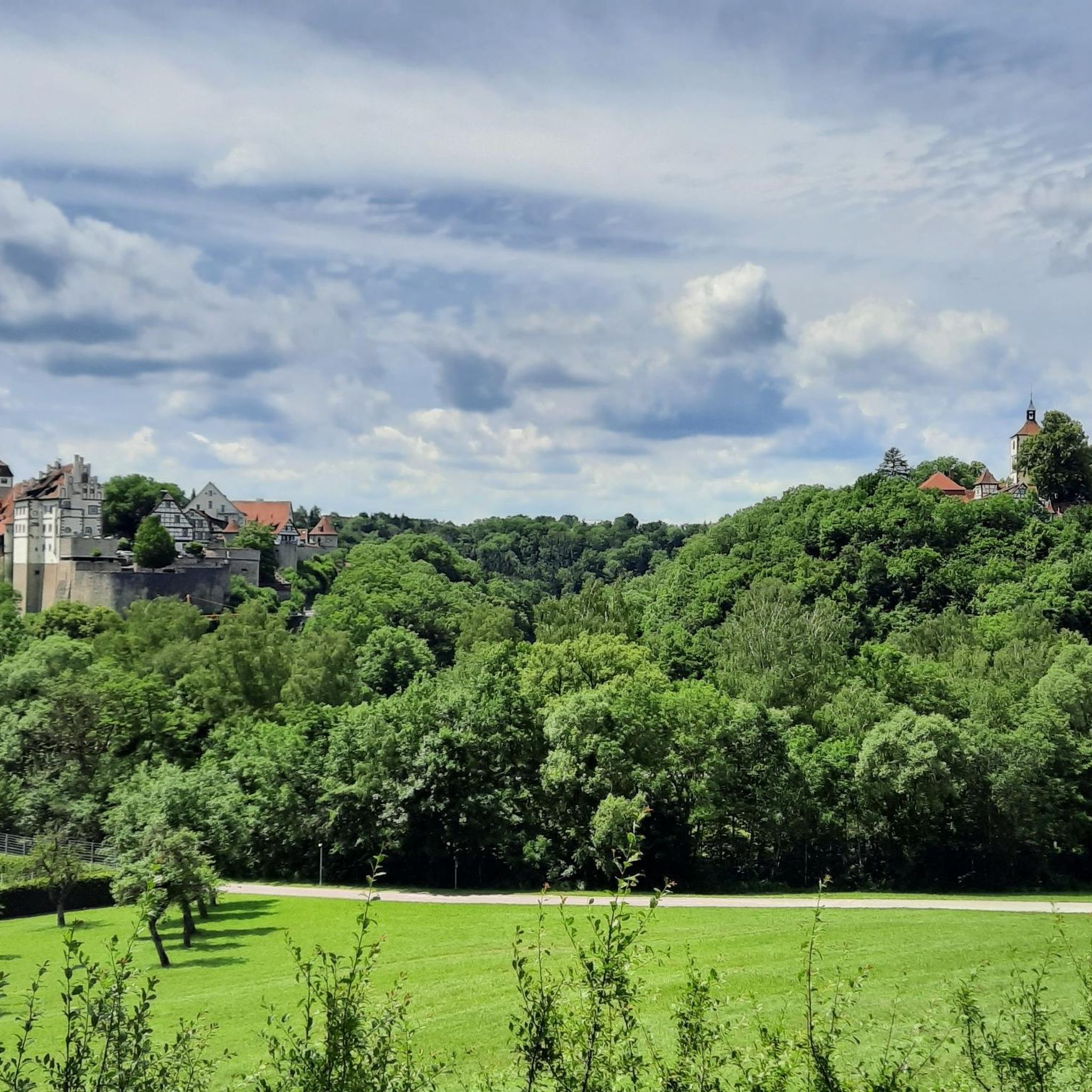
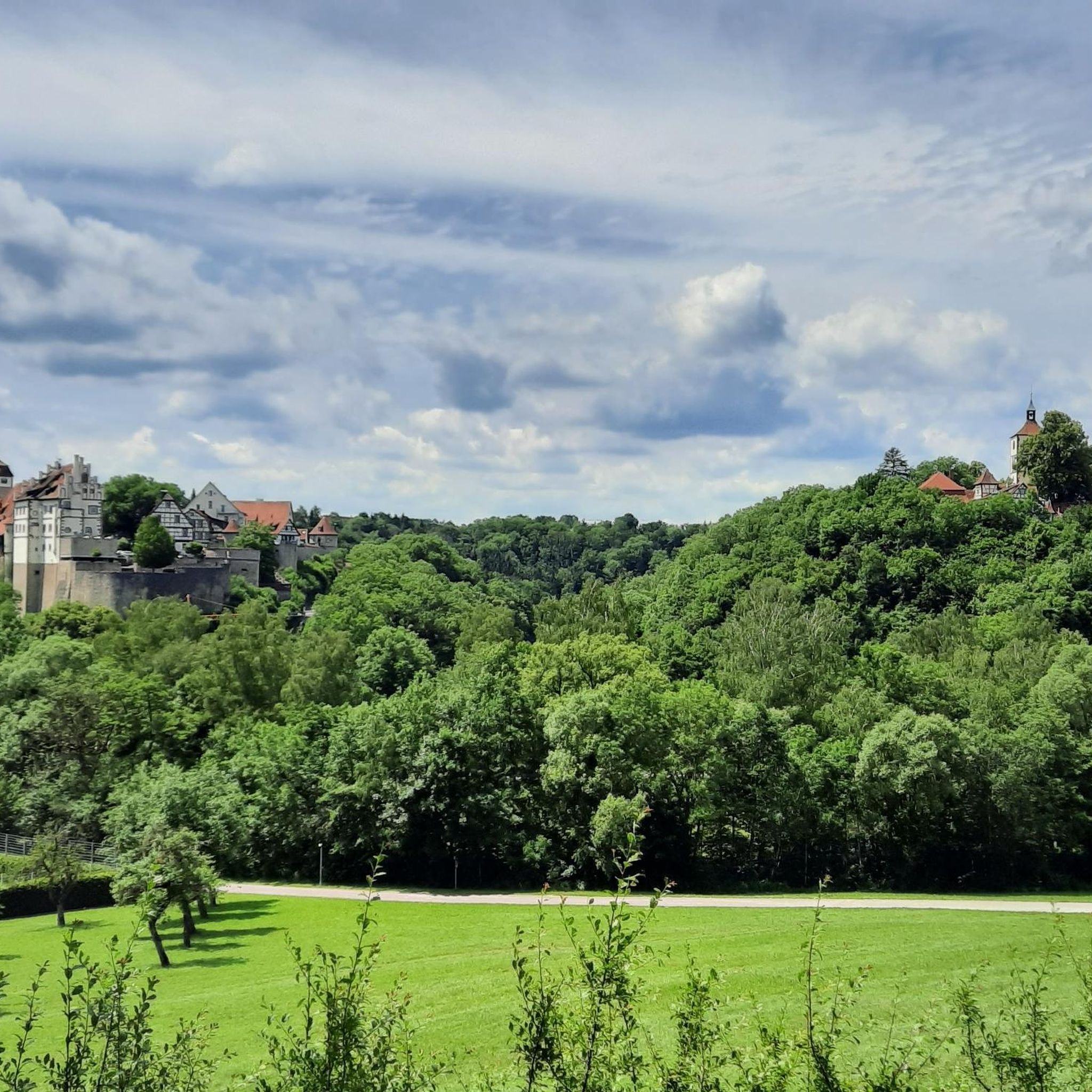
Beautiful view of the Kocher Valley towards Westheim
1
0

A castle with a chapel was built as early as the 13th century. In the following centuries, the castle was expanded and, at the end of the 16th century, converted into a Renaissance palace. A very beautiful palace, well worth a visit!
3
0

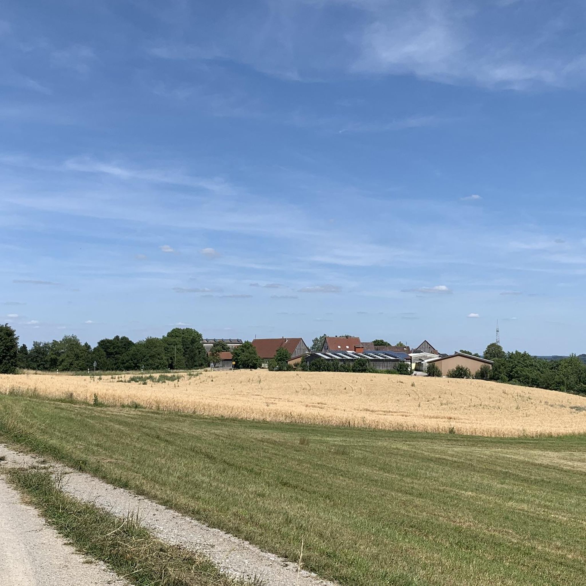
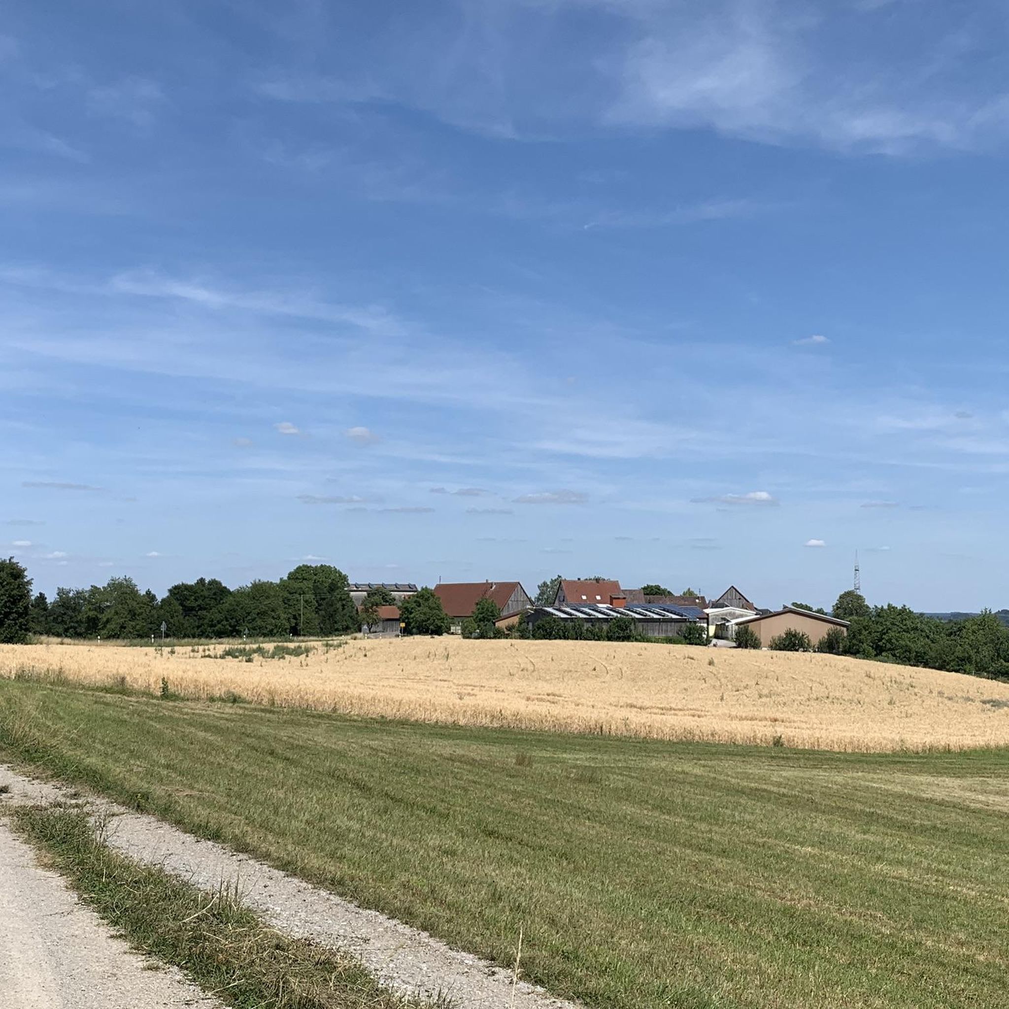
Nice little gem right on the Jagst Valley cycle path, with a bench for a break included.
2
0


Frequently Asked Questions
How many road cycling routes are available in Burgbergwald?
Burgbergwald offers a wide selection of over 400 road cycling routes, catering to various skill levels and preferences. This includes routes through dense forests, rolling hills, and scenic river valleys.
Are there road cycling routes suitable for beginners in Burgbergwald?
Yes, Burgbergwald has approximately 60 easy road cycling routes. These routes typically feature less challenging ascents and more gentle terrain, perfect for those new to road cycling or looking for a relaxed ride.
What kind of terrain can I expect on road cycling routes in Burgbergwald?
The terrain in Burgbergwald is characterized by a mix of dense forests, rolling hills, and river valleys. You can expect well-maintained roads that wind through agricultural land and past small villages, with varied elevation changes offering both challenging ascents and scenic descents.
Are there challenging road cycling routes for experienced riders in Burgbergwald?
Absolutely. For experienced road cyclists seeking a challenge, Burgbergwald offers around 30 difficult routes. These often include significant ascents and longer distances, such as the Ascent to Leofels – St. Anna Chapel Mulfingen loop from Eckartshausen-Ilshofen, which covers over 90 km with substantial elevation gain.
What are some notable landmarks or scenic viewpoints along the road cycling routes?
Many routes in Burgbergwald pass by interesting landmarks and offer scenic views. You might encounter historical sites like the Marienbrunnen on the Burgberg or enjoy panoramic vistas from the Burgberg Tower. The region's natural beauty also includes tranquil spots like Pfaffenweiher.
Are there circular road cycling routes available in Burgbergwald?
Yes, many of the road cycling routes in Burgbergwald are designed as loops, allowing you to start and end at the same point. Examples include the Bühlertal Serpentine Ascent – ⭐️🐷 Old wooden bridge loop from Eckartshausen-Ilshofen and the Climb to Wolpertshausen – Einkorn Hill and Ruins loop from Eckartshausen-Ilshofen.
What is the best time of year for road cycling in Burgbergwald?
The best time for road cycling in Burgbergwald is typically from spring through autumn. During these seasons, the weather is generally mild, and the natural scenery, from blooming fields to vibrant autumn foliage, enhances the riding experience. Always check local weather forecasts before heading out.
What do other road cyclists enjoy most about road cycling in Burgbergwald?
The komoot community highly rates road cycling in Burgbergwald, with an average score of 4.7 stars from over 340 reviews. Riders often praise the varied terrain, the well-maintained roads, and the beautiful blend of forests, hills, and charming villages that make each ride unique.
Are there any routes that pass by historical castles or ruins?
Yes, some routes offer glimpses of historical sites. For instance, the Ascent to Leofels – Langenburg Castle loop from Eckartshausen-Ilshofen takes you past the impressive Langenburg Castle, adding a cultural dimension to your ride.
What are the typical distances for road cycling routes in Burgbergwald?
Road cycling routes in Burgbergwald vary significantly in length. You can find shorter loops around 45 km, such as the Climb to Wolpertshausen – Einkorn Hill and Ruins loop from Eckartshausen-Ilshofen, up to longer, more demanding rides exceeding 90 km, like the Ascent to Leofels – St. Anna Chapel Mulfingen loop from Eckartshausen-Ilshofen.
Are there facilities or rest areas along the road cycling routes?
While specific facilities vary by route, you may find rest areas or small villages with amenities. For example, the Ruth Lake 1980 Rest Area is one such spot that could be encountered on certain routes, offering a place to pause and refresh.
Most popular routes in Burgbergwald
Most popular attractions in Burgbergwald

Get inspired with the komoot mobile app


Explore more
Browse the best Road cycling routes in other regions.
