The best running trails in Wannenwald
4.3
(14)
225
runners
34
runs
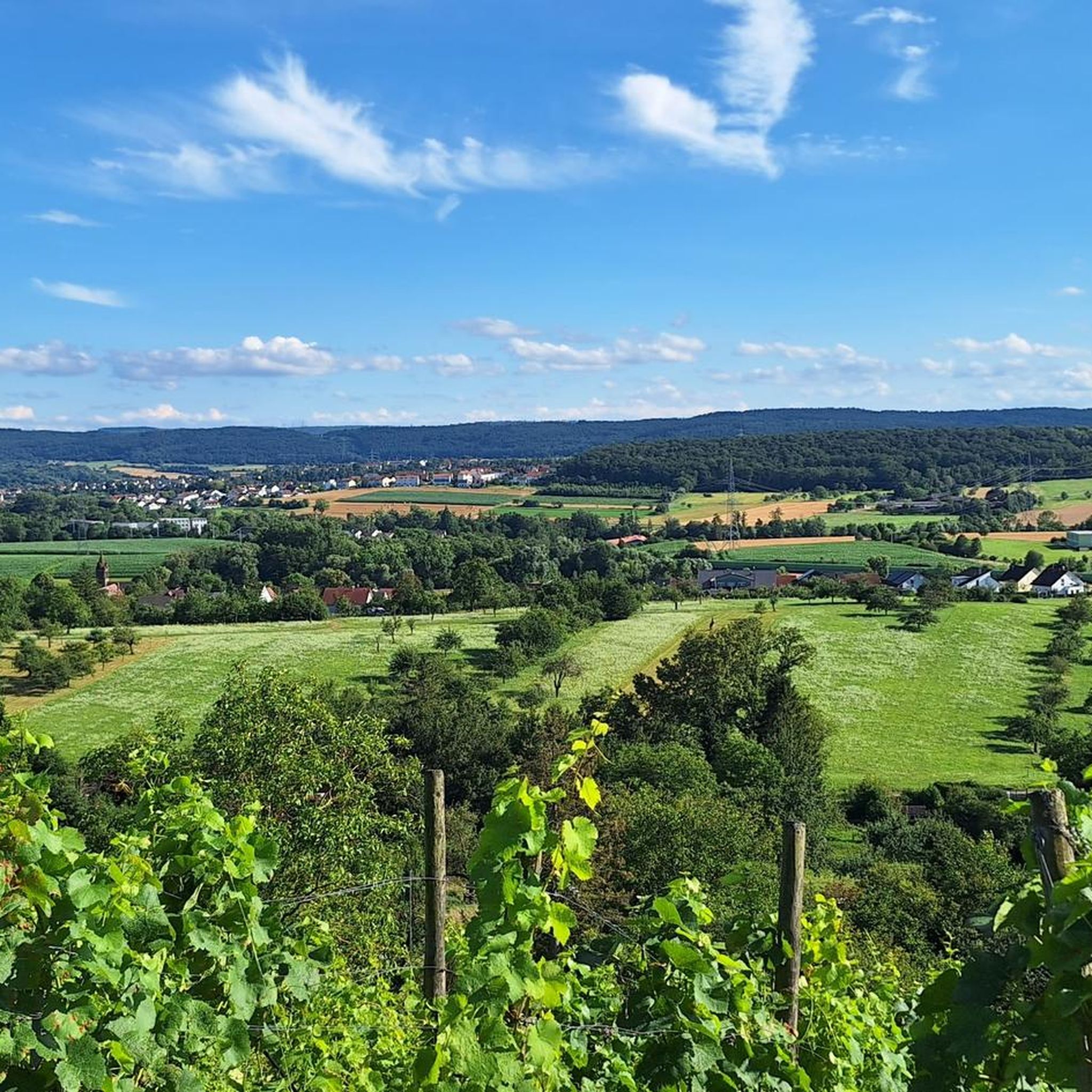
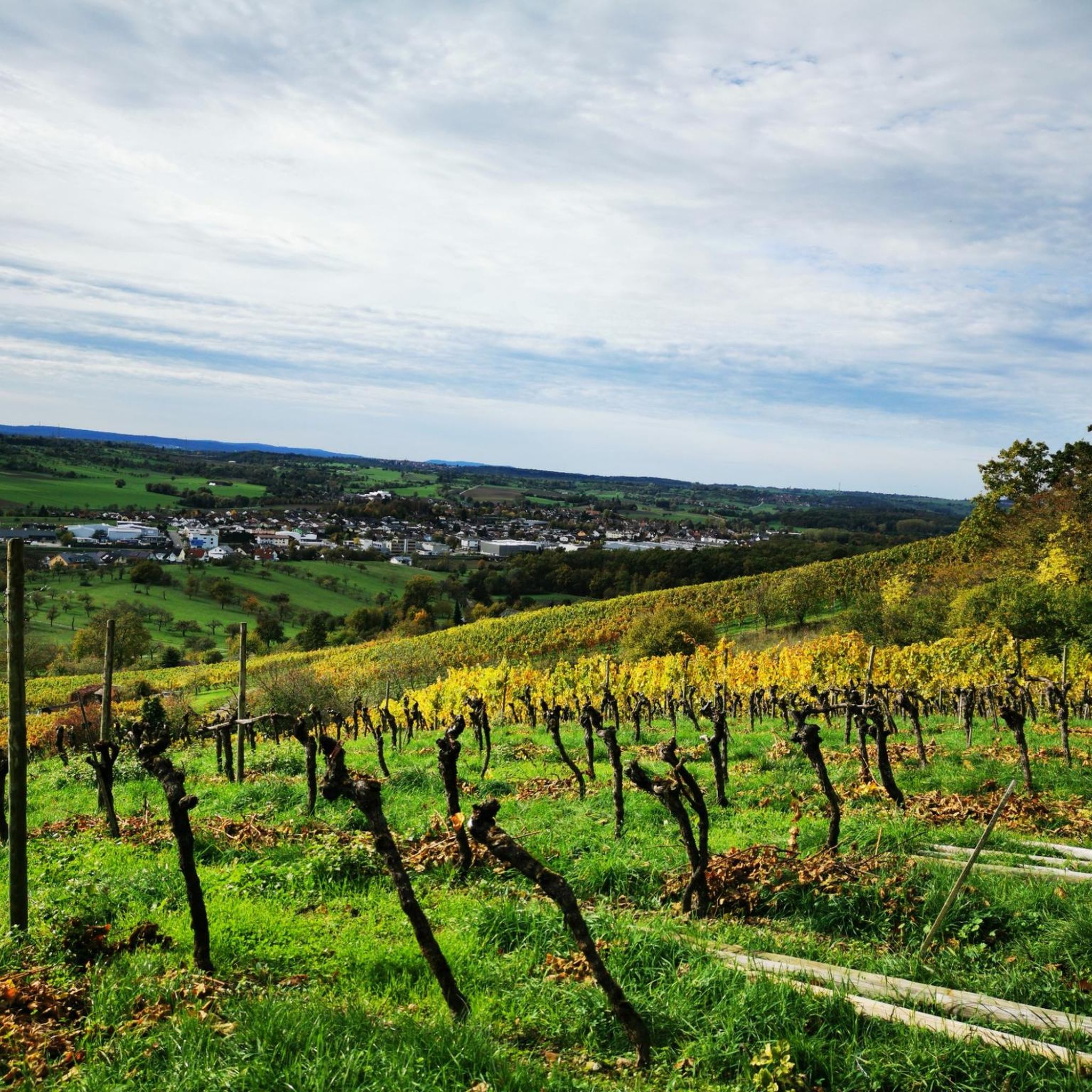
Jogging routes in Wannenwald offer opportunities to explore a landscape characterized by forests and rural paths. The region provides a mix of terrain suitable for various running preferences, including woodlands and historical elements. Many running routes traverse natural areas and connect to local points of interest. The network offers options for different ability levels, from shorter loops to longer trails.
Best jogging routes in Wannenwald
- The most popular jogging route is Forests & watchtowers – trail along the Eppingen lines…
Last updated: June 24, 2026
6
runners
10.9km
01:11
160m
160m
Moderate run. Good fitness required. Mostly paved surfaces. Suitable for all skill levels.
4.7
(6)
23
runners
5.70km
00:36
50m
50m
Moderate run. Good fitness required. Mostly paved surfaces. Suitable for all skill levels.

Sign up for free
4.8
(4)
29
runners
9.06km
00:57
80m
80m
Moderate run. Good fitness required. Mostly paved surfaces. Suitable for all skill levels.
16
runners
7.55km
00:47
50m
50m
Moderate run. Good fitness required. Mostly paved surfaces. Suitable for all skill levels.
5.0
(1)
8
runners
Moderate run. Good fitness required. Mostly paved surfaces. Suitable for all skill levels.
Get access to more routes and recommendations from other explorers.
Sign up for free
Already have an account?
Our route recommendations are based on thousands of hikes, rides, and runs completed by other people on komoot.
Start today with a free account
Your next adventure awaits.
Login or Signup


Tips from the Community

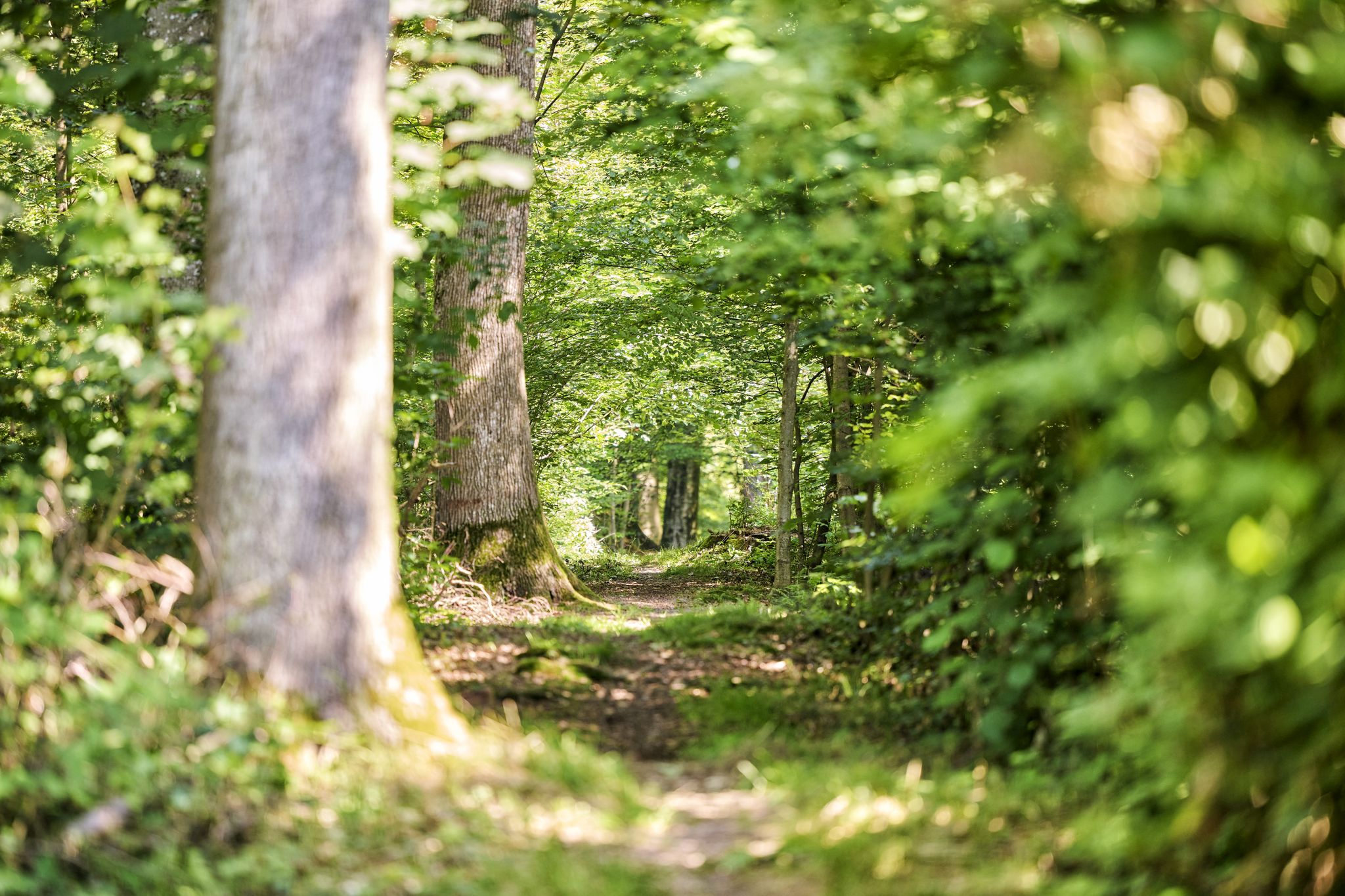
A beautiful, natural hiking trail that runs parallel to the forest path, always along the Epping Lines. In some places where the ditch has been filled in to create forest roads, you also have a good view of the cross-section of the former defense system.
7
0
Quite simple seating area right at a large intersection where five forest paths meet.
6
0
Restored site on the Eppinger Line with a wooden fence and information board on the historical significance of this former defensive structure.
7
0
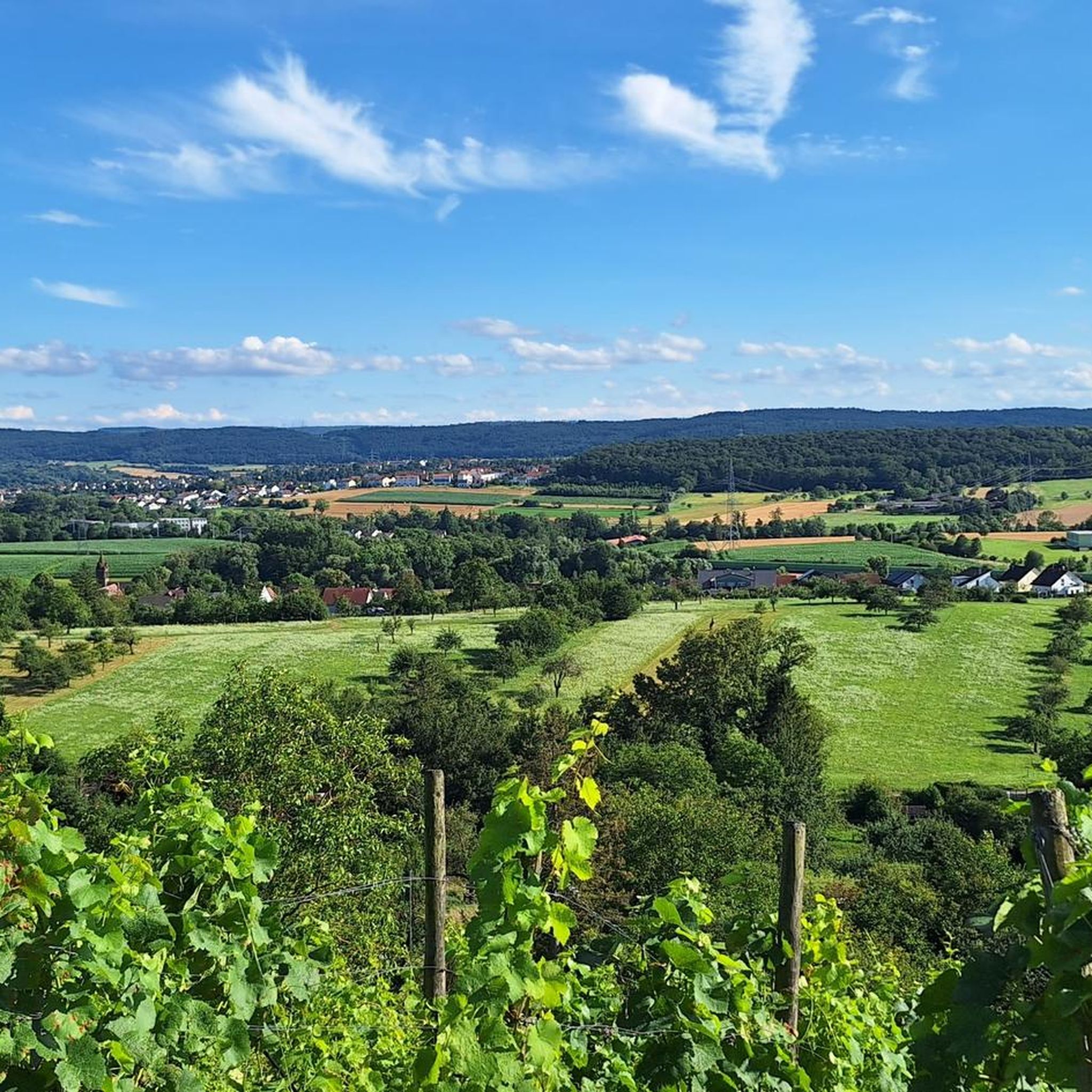
Rotating hill sofa at the foot of the Sauberg, with which you can determine the direction of view yourself.
5
0
Between Maulbronn and Mühlacker, northwest of Ötisheim, is the Sternschanze on the Sauberg. It was part of extensive fortifications, the "Eppingen Lines", which were built in the period 1695-97 to protect against French invasions. The Sternschanze is of considerable size in the shape of a regular pentagonal star. From this fortification, of which only ruins are now visible, there is a particularly beautiful view of Mühlacker, the Enz Valley and further into the Neckar Basin.
8
1

In addition to the Limes and the Württemberg Landgraben, the Eppingen Lines are the third fortification with which our ancestors, or in the case of the Limes, the Roman occupying forces, wanted to protect themselves against attacks by land-hungry neighbors, in this case the French.
2
0

Old defensive wall and beautiful hiking trail.
1
0

Frequently Asked Questions
How many running routes are available in Wannenwald?
Wannenwald offers a selection of over 25 running routes. These trails vary in length and difficulty, providing options for different preferences and fitness levels.
What kind of terrain can I expect on Wannenwald's jogging trails?
The jogging routes in Wannenwald primarily feature a mix of forests and rural paths. You'll find trails that traverse natural areas, including woodlands, and connect to local points of interest, often incorporating historical elements.
Are there any easy or beginner-friendly running routes in Wannenwald?
Yes, Wannenwald has several routes suitable for beginners or those looking for an easier run. There are 6 easy routes available, alongside 16 moderate and 4 difficult options, ensuring something for every ability.
What do other runners think about the trails in Wannenwald?
The running routes in Wannenwald are highly regarded by the komoot community, holding an average rating of 4.3 stars from over 10 reviews. More than 170 runners have explored the varied terrain, often praising the mix of forests, rural paths, and historical elements.
Are there any circular running routes in Wannenwald?
Yes, Wannenwald features several circular running routes. For example, the Running loop from Lienzingen is a moderate 3.7 miles (5.9 km) path, and the Ötisheim Old Town loop from Ötisheim covers 7.7 miles (12.4 km) through rural landscapes.
What are the typical distances and elevations for running routes in Wannenwald?
Running routes in Wannenwald vary in distance and elevation. You can find shorter loops like the Running loop from Lienzingen at 3.7 miles (5.9 km) with about 45 meters of elevation gain. Longer trails, such as Forests & watchtowers – trail along the Eppingen lines, extend to 6.7 miles (10.9 km) with around 156 meters of ascent.
What points of interest can I see while jogging in Wannenwald?
While jogging in Wannenwald, you can encounter various points of interest. The region features historical sites like the Sternenschanze (Eppingen Lines) and the Chartaque. You might also find viewpoints such as the Sauberg Chartaque Watchtower, offering scenic breaks during your run.
Are there any trails that pass by lakes or water features in Wannenwald?
Yes, some areas near Wannenwald's running routes feature lakes and water bodies. You might come across highlights like the Hohenackersee, Eckhausee, or even a Biotope and Wetland with pond, offering diverse natural scenery.
Can I find historical landmarks along the running routes?
Absolutely. Wannenwald's running routes often incorporate historical elements. For instance, the Forests & watchtowers – trail along the Eppingen lines specifically explores forested areas and historical watchtowers. You can also find highlights like the Eppinger Lines Forest Trail and the Trail on the Eppingen Lines Rampart.
Are there any routes that go through old towns or villages?
Yes, some running routes in the Wannenwald area pass through or near old towns. The Ötisheim Old Town loop from Ötisheim is a notable example, leading through rural landscapes and past the old town of Ötisheim.
What is the most popular running route in Wannenwald?
The most popular running route in Wannenwald is Forests & watchtowers – trail along the Eppingen lines. This moderate 6.7 miles (10.9 km) trail is favored for its exploration of forested areas and historical watchtowers.
Most popular routes in Wannenwald
Most popular attractions in Wannenwald

Get inspired with the komoot mobile app


Explore more
Browse the best Running Trails & Routes in other regions.
