The best running trails in Staatsforst Völklingen
4.3
(1225)
22,577
runners
556
runs
Jogging in Staatsforst Völklingen offers a diverse landscape for runners of all levels. The region is characterized by dense woodlands, providing shaded paths and a natural environment for running. Elevation changes are generally moderate, with some routes featuring gentle hills and others following flatter riverbank sections. The area's network of trails allows for varied running experiences, from short, easy jogs to longer, more challenging running routes.
Best jogging routes in Staatsforst Völklingen
- The most popular jogging route is Start of the Hartfüssler Trail – Netzbach Trail loop from Von der Heydt, an 18.1 miles (29.1 km) trail that takes 3 hours 20 minutes to complete. This challenging route features significant elevation gain through varied forest terrain.
- Another top favourite among local runners is Running loop from Von der Heydt, a moderate 4.2 miles (6.8 km) path. This route offers a pleasant run through the local forest, suitable for a quick workout.
- Local runners also love the Bismarck Bridge – Saar Riverbank loop from Saarbrücken-Burbach Mitte, an 8.4 miles (13.4 km) trail leading through riverside paths and urban green spaces, often completed in about 1 hour 25 minutes.
- Jogging in Staatsforst Völklingen is defined by dense woodlands, riverbank paths, and gentle hills, with options for different ability levels.
- The routes in Staatsforst Völklingen are highly rated by the komoot community with an average score of 4.3 stars from over 1,100 reviews. More than 20,000 runners have used komoot to explore Staatsforst Völklingen's varied terrain.
Last updated: July 5, 2026
4.9
(7)
377
runners
28.9km
03:19
670m
670m
Hard run. Very good fitness required. Mostly paved surfaces. Suitable for all skill levels.
5.0
(4)
98
runners
Moderate run. Good fitness required. Mostly paved surfaces. Suitable for all skill levels.

Sign up for free
5.0
(6)
52
runners
6.84km
00:45
140m
130m
Moderate run. Good fitness required. Mostly paved surfaces. Suitable for all skill levels.
4.1
(10)
357
runners
Moderate run. Good fitness required. Mostly paved surfaces. Suitable for all skill levels.
25
runners
16.1km
01:51
420m
420m
Hard run. Very good fitness required. Mostly paved surfaces. Suitable for all skill levels.
Get access to more routes and recommendations from other explorers.
Sign up for free
Already have an account?
Our route recommendations are based on thousands of hikes, rides, and runs completed by other people on komoot.
Start today with a free account
Your next adventure awaits.
Login or Signup
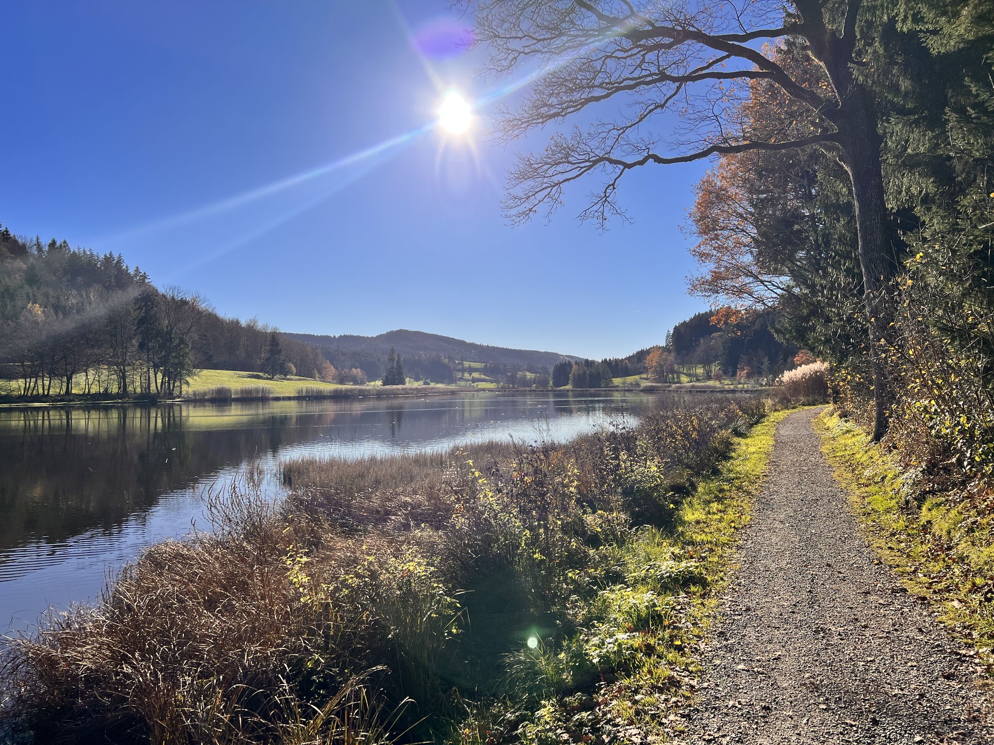
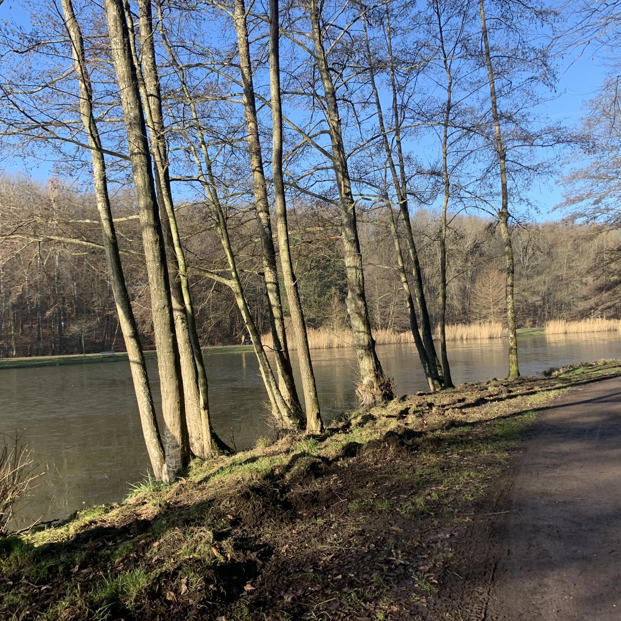
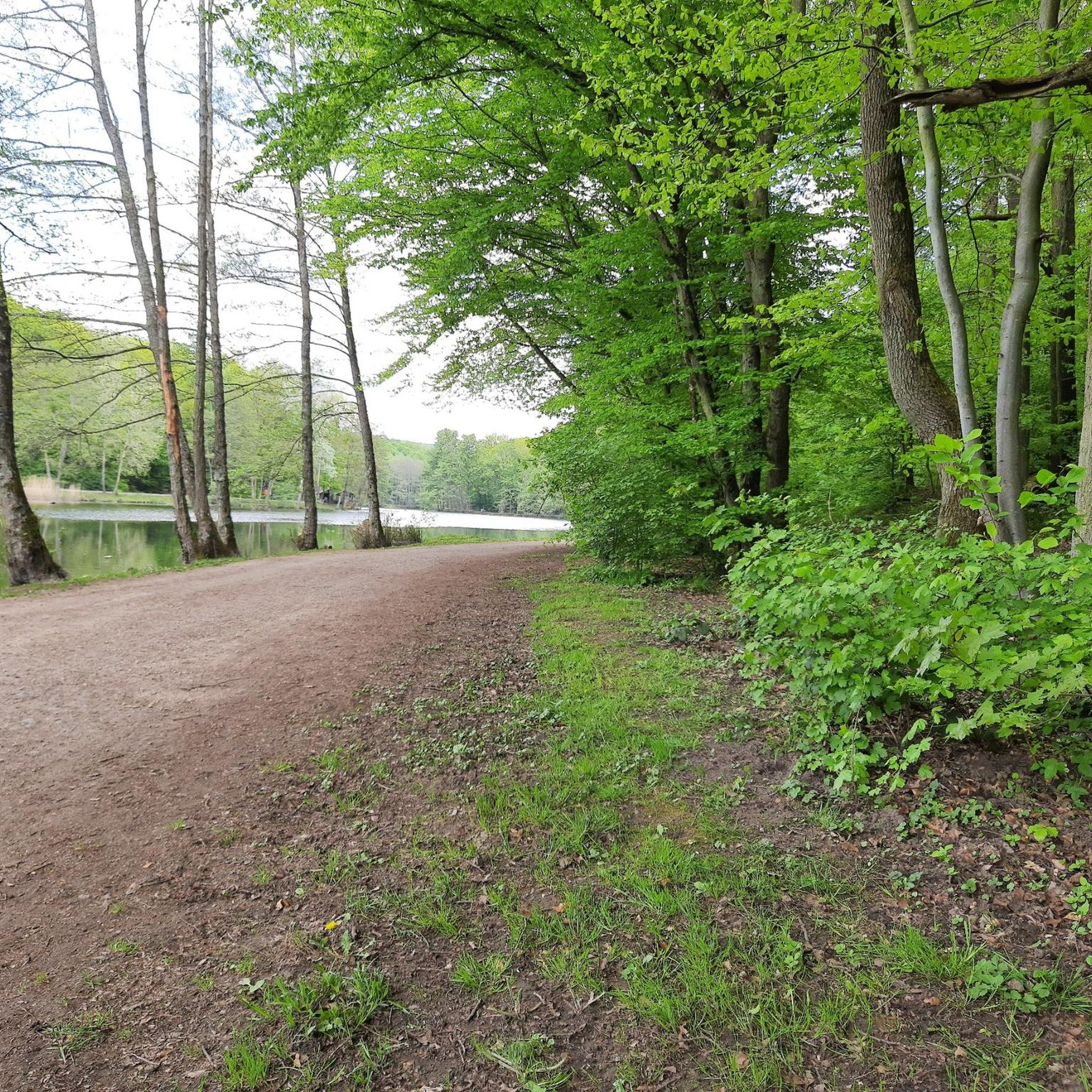
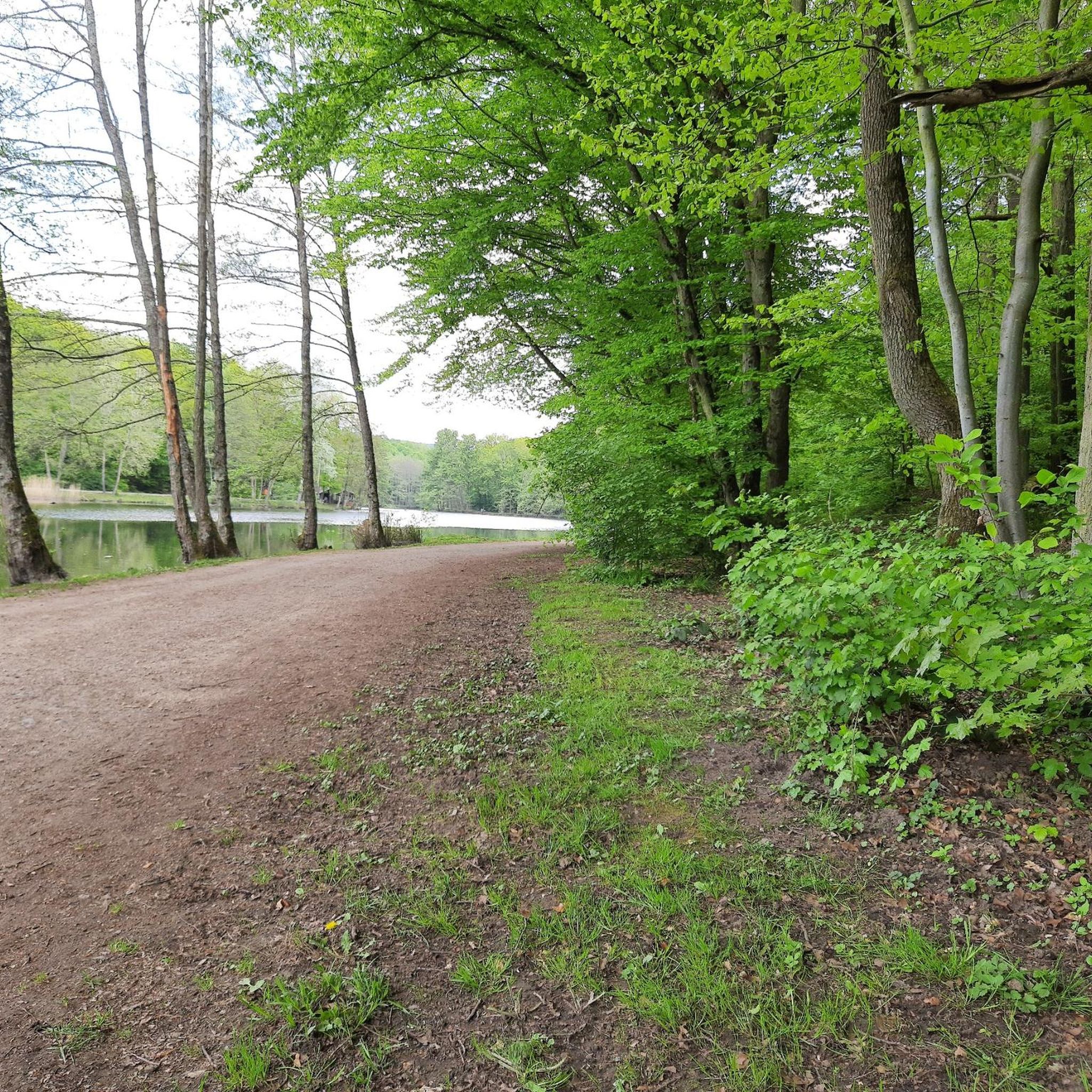
Other adventures in Staatsforst Völklingen

Tips from the Community

The flowers speak for the city, pretty
0
0
The Bismarckbrücke was built between 1913 and 1915 according to plans by Paul Meissner.
0
0

Beautiful cycle path, but can be a bit uneven due to roots 🚴🏻
0
0

You should have good footing, because some of the steps at the top are significantly higher and the horizontal branch requires a limbo, but the view is worth it and from the top you can see the next destination: the Grühlingsstraße spoil heap :-)
0
0

Highly recommended 👍
0
0

Wooden owl on articulated benches
0
0

The title is wrong. I reported it to Komoot. It's the Burbach Railway Bridge, and pedestrians and cyclists are allowed there. Someone assigned the wrong pictures of the Völklinger Hütte (Völklinger Ironworks). That's probably why there's confusion about the fact that cycling is prohibited.
2
0

Frequently Asked Questions
How many running routes are available in Staatsforst Völklingen?
Staatsforst Völklingen offers a wide selection of over 500 running routes. These include options for all skill levels, from easy jogs to more challenging trail runs.
Are there easy running routes suitable for beginners in Staatsforst Völklingen?
Yes, Staatsforst Völklingen has numerous easy running routes perfect for beginners or those looking for a relaxed jog. For example, the Burbach Forest Pond – Burbach Forest Pond loop from Von der Heydt is a moderate 5.9 km path with minimal elevation gain, ideal for a gentle run.
What are some challenging trail running options in Staatsforst Völklingen?
For experienced trail runners seeking a challenge, Staatsforst Völklingen offers routes with significant elevation. The Start of the Hartfüssler Trail – Netzbach Trail loop from Von der Heydt is a demanding 29.1 km route with over 670 meters of ascent, providing a rigorous workout through varied forest terrain.
Are there any circular jogging trails in Staatsforst Völklingen?
Many of the running routes in Staatsforst Völklingen are circular, allowing you to start and finish at the same point. A popular moderate option is the Running loop from Von der Heydt, which covers 6.8 km through the local forest.
What kind of terrain can I expect on the running trails in Staatsforst Völklingen?
The terrain in Staatsforst Völklingen is quite varied. You'll find dense woodlands with shaded paths, some routes featuring gentle hills, and others following flatter riverbank sections, particularly along the Saar. This diversity ensures a different experience for every run.
Are there family-friendly jogging routes in Staatsforst Völklingen?
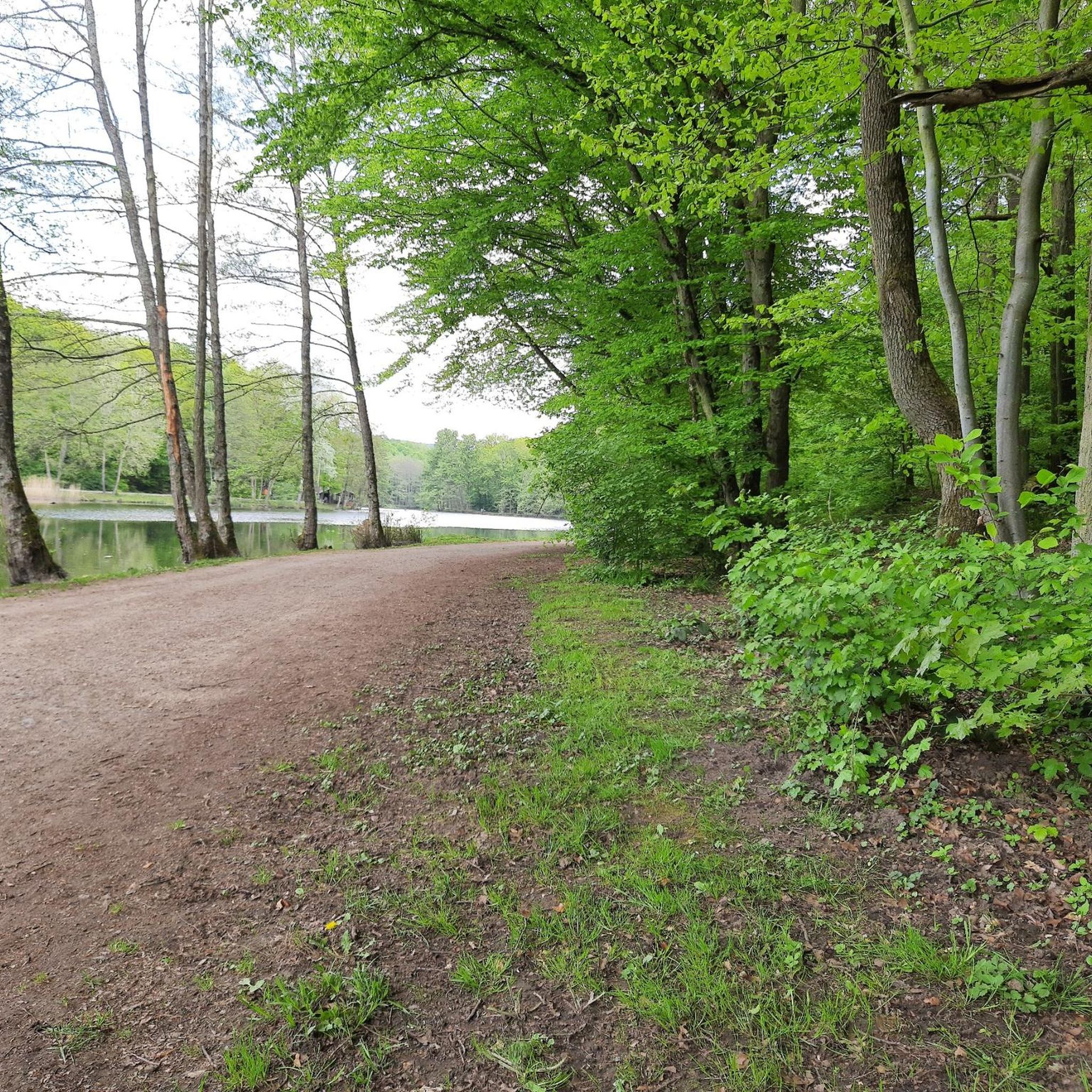
Yes, several routes are suitable for families. Look for paths with lower difficulty ratings and shorter distances. The area around Burbach Forest Pond offers pleasant, relatively flat trails that are great for a family jog.
What are the best times of year to go running in Staatsforst Völklingen?
Staatsforst Völklingen is enjoyable for running year-round. Spring and autumn offer pleasant temperatures and beautiful scenery with changing foliage. Summer provides shaded paths through the dense woodlands, while winter running is also possible, though conditions may vary with snow or ice.
Can I find parking near the jogging routes in Staatsforst Völklingen?
Yes, many running routes in Staatsforst Völklingen have convenient parking options nearby. Areas like Von der Heydt and Saarbrücken-Burbach Mitte, which serve as starting points for several popular routes, typically offer accessible parking for runners.
What do other runners enjoy most about jogging in Staatsforst Völklingen?
The running routes in Staatsforst Völklingen are highly rated by the komoot community, with an average score of 4.3 stars from over 1,100 reviews. Runners often praise the diverse landscape, the tranquility of the dense woodlands, and the variety of trails suitable for different fitness levels.
Are there any interesting landmarks or attractions to see along the running routes?
Yes, you can combine your run with some sightseeing. The Burbach Forest Pond is a scenic spot. You might also encounter historical sites like the Former Beer Cellar at Grube Von der Heydt or the Von der Heydt Miners' Settlement, offering glimpses into the region's past.
Are there any routes that follow riverbanks or offer water views?
Absolutely. The Bismarck Bridge – Saar Riverbank loop from Saarbrücken-Burbach Mitte is an excellent choice. This 13.4 km route leads you along picturesque riverside paths, offering refreshing views of the Saar.
What is the typical elevation gain on running routes in Staatsforst Völklingen?
Elevation changes in Staatsforst Völklingen are generally moderate. Many routes feature gentle rolling hills, with some longer, more challenging trails like the Start of the Hartfüssler Trail – Netzbach Trail loop having significant climbs of over 670 meters. Flatter options are also available, especially near river sections.
Most popular routes in Staatsforst Völklingen
Most popular attractions in Staatsforst Völklingen

Get inspired with the komoot mobile app


Explore more
Browse the best Running Trails & Routes in other regions.
