The best walks and hikes in Flamersheimer Wald
4.5
(15755)
65,808
hikers
59
hikes
Hiking in Flamersheimer Wald offers a diverse network of trails within the hilly Voreifel region, characterized by varied forest landscapes. The area features broad, accessible forest paths alongside more challenging, narrower trails. Key natural features include the Madbachtalsperre and Steinbachtalsperre, with many routes providing waterside views and moderate elevation changes. This landscape provides engaging hiking experiences without being overly strenuous.
Best hiking trails in Flamersheimer Wald
- The most popular hiking route is Pommersbach Stream Crossing – Madbachtalsperre loop from Queckenberg, a 7.4 miles (11.9 km) trail that takes 3 hours 15 minutes to complete, connecting two significant dams.
- Another top favourite among local hikers is Pommersbach Stream Crossing – Magnificent view loop from Unteres Steinbachtal, a moderate 5.6 miles (9.0 km) path. This route offers panoramic vistas over the surrounding natural scenery.
- Local hikers also love the Madbachtalsperre – Pommersbach Stream Crossing loop from Queckenberg, a 9.1 miles (14.7 km) trail leading through dense forest and along the Madbachtalsperre, often completed in about 3 hours 56 minutes.
- Hiking in Flamersheimer Wald is defined by diverse forest trails, scenic water bodies like the Madbachtalsperre, and the moderate hills of the Voreifel. The network offers options for various ability levels, from easy strolls to moderate hikes.
- The routes in Flamersheimer Wald are highly rated by the komoot community with an average score of 4.4 stars from over 500 reviews. More than 2,800 hikers have used komoot to explore Flamersheimer Wald's varied terrain.
Last updated: July 10, 2026
4.6
(159)
609
hikers
11.8km
03:14
190m
190m
Moderate hike. Good fitness required. Easily-accessible paths. Suitable for all skill levels.
4.3
(40)
137
hikers
9.15km
02:33
180m
180m
Moderate hike. Good fitness required. Easily-accessible paths. Suitable for all skill levels.

Sign up for free
4.6
(27)
90
hikers
5.41km
01:29
90m
80m
Easy hike. Great for any fitness level. Easily-accessible paths. Suitable for all skill levels.
4.5
(58)
282
hikers
7.19km
02:02
150m
150m
Moderate hike. Good fitness required. Easily-accessible paths. Suitable for all skill levels.
4.8
(17)
88
hikers
14.7km
03:56
170m
170m
Moderate hike. Good fitness required. Easily-accessible paths. Suitable for all skill levels.
Get access to more routes and recommendations from other explorers.
Sign up for free
Already have an account?
Our route recommendations are based on thousands of hikes, rides, and runs completed by other people on komoot.
Start today with a free account
Your next adventure awaits.
Login or Signup
Tips from the Community

At the marked spot, you are in the middle of the forest. There is no view whatsoever.
1
0

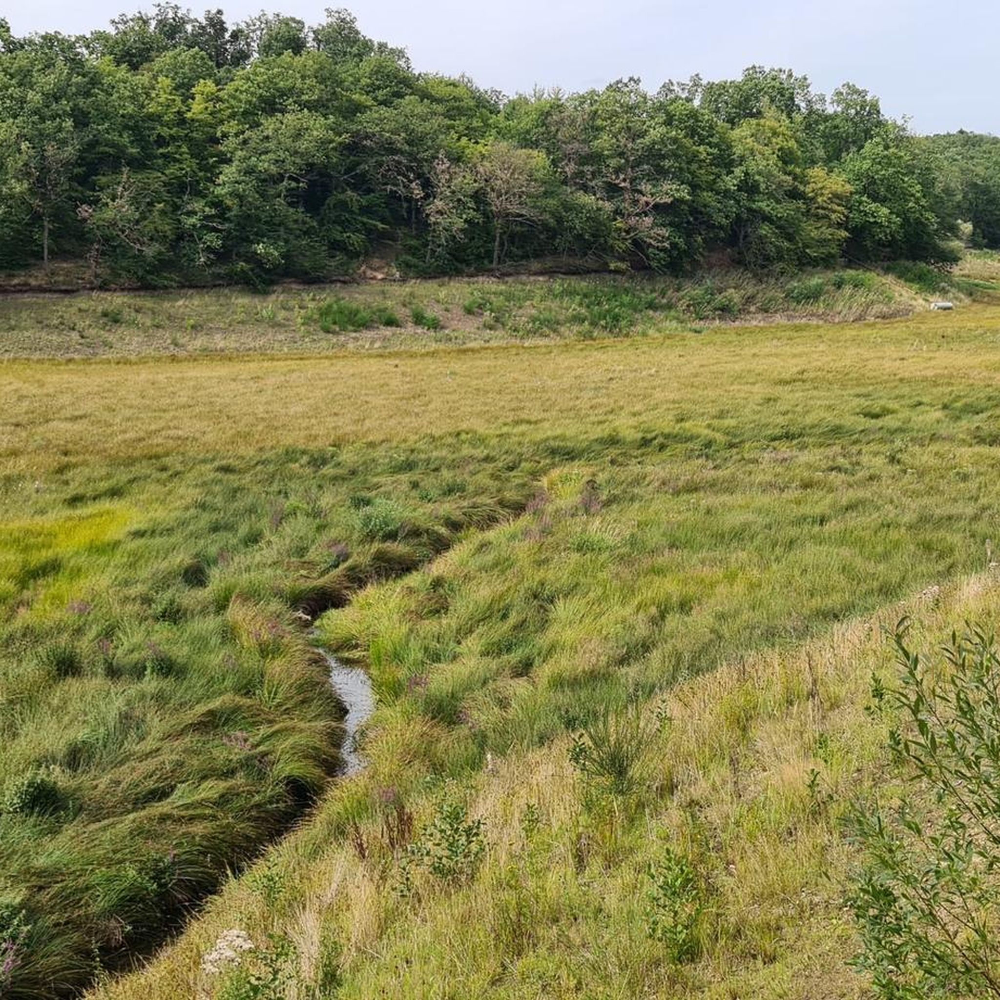
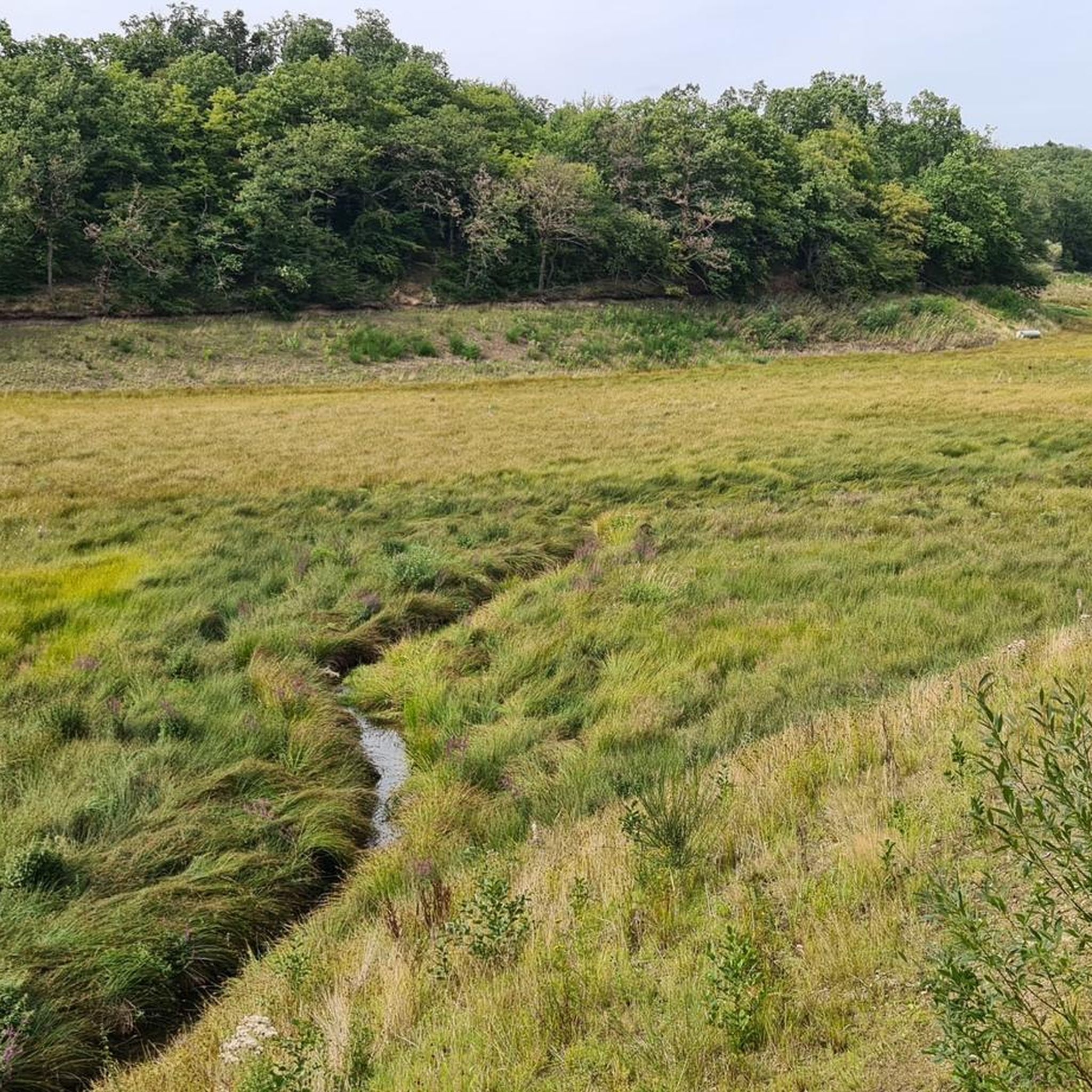
The nearby Steinbach reservoir is now - that is, after the heavy rain catastrophe of July 2021 - dry, and instead of water, a green area can be seen. Here at the Madbach reservoir, in comparison practically the little brother, the reservoir can indeed still be found.
4
0

I find the information boards about the different tree species very helpful.
1
0

There are many boards with useful information about trees and animals on the dam path. Not only educational for children...
1
0

A wonderful resting place! 😎 However, the view has unfortunately worsened since the flood in 2021...
0
0

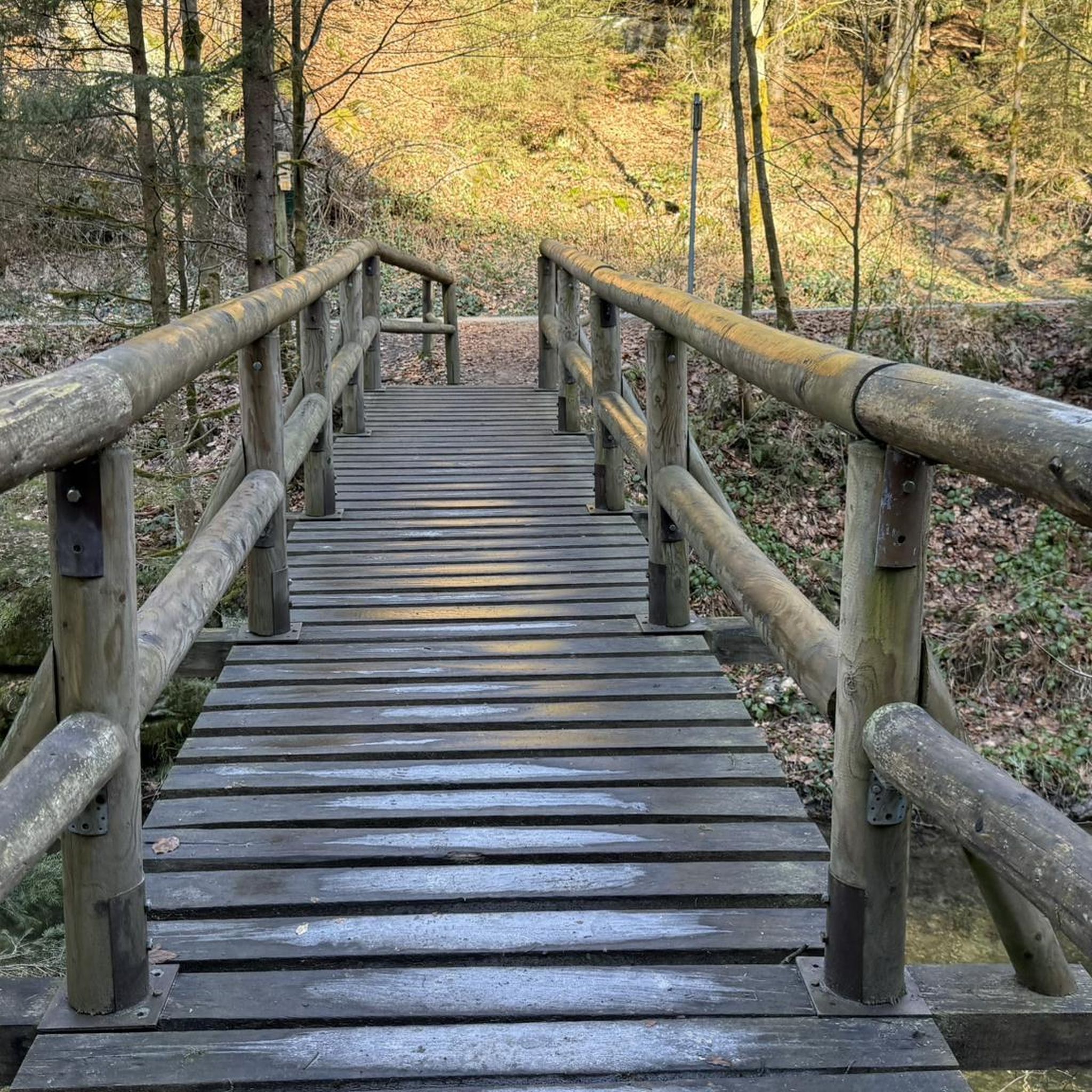
passable even in heavy rain - you can get over it with a big step
0
1

The dam was built at the end of the 1930s to supply the Euskirchen cloth industry with process water. Construction was not completed in 1940 due to the war, so the capacity is only 70,000 m³ instead of the planned 300,000. Completion was planned in the 1980s, but this was not carried out due to the decline of the cloth industry. The dam was technically overhauled in 1996–1997. The dam, in conjunction with the neighboring Steinbach dam, supplies process water for industry and agriculture. It is operated by the Euskirchen-Swisttal water supply association. The dam is only monitored manually. Source: Wikipedia
5
0
Probably the most beautiful section of the Eifel loop Madbachtalsperre
3
0
Frequently Asked Questions
What kind of terrain can I expect on hikes in Flamersheimer Wald?
Flamersheimer Wald offers a diverse network of trails, ranging from broad, easily accessible forest paths to more challenging, narrower routes. The area is part of the hilly Voreifel region, so you'll encounter moderate elevation changes that provide an engaging experience without being overly strenuous. Some paths may become muddy after rain, adding to the natural feel.
Are there any easy hiking trails suitable for beginners or families in Flamersheimer Wald?
Yes, Flamersheimer Wald is very accessible. Out of 61 total tours, 40 are classified as easy, making it suitable for beginners, families, and those looking for a relaxed stroll. An example of an easy route is the Madbach Valley – Petersberg loop from Queckenberg, which is about 5.5 km long.
Can I bring my dog on the hiking trails in Flamersheimer Wald?
Absolutely! Flamersheimer Wald is a dog-friendly destination. Some tours, like the '4 Pfotentour' mentioned in local information, are specifically designed with dogs in mind. Your dog can even enjoy a swim in the Madbachtalsperre at its northern shore.
What are the main natural features or landmarks to see while hiking?
The most prominent natural features are the Madbachtalsperre and the Steinbachtalsperre. Many routes connect these two dams, offering picturesque waterside views. You can also find elevated points that provide wonderful panoramic views of the surrounding nature, such as along the Pommersbach Stream Crossing – Magnificent view loop from Unteres Steinbachtal.
Are there any circular hiking routes in Flamersheimer Wald?
Yes, many of the hiking routes in Flamersheimer Wald are circular, allowing you to start and end at the same point. For instance, the Pommersbach Stream Crossing – Madbachtalsperre loop from Queckenberg is a popular circular trail connecting the two dams.
How long do hikes in Flamersheimer Wald typically take?
Hikes in Flamersheimer Wald vary in length and duration. You can find shorter routes like the Madbach Valley – Petersberg loop from Queckenberg, which is about 5.5 km and takes around 1 hour 30 minutes. Longer moderate trails, such as the Madbachtalsperre – Pommersbach Stream Crossing loop from Queckenberg, can be up to 14.7 km and take nearly 4 hours.
What do other hikers say about their experience in Flamersheimer Wald?
The komoot community highly rates Flamersheimer Wald, with an average score of 4.4 stars from over 590 reviews. Hikers often praise the diverse forest trails, the scenic water bodies like the Madbachtalsperre, and the engaging, moderately hilly Voreifel landscape.
Are there places to eat or rest near the trails?
Yes, after a hike, you can find refreshment at establishments like the Waldgaststätte (forest restaurant) located near the Steinbachtalsperre. This provides a convenient stop for food and drinks.
Is there parking available for hikers in Flamersheimer Wald?
While specific parking locations are not detailed, areas around popular starting points and attractions like the Waldgaststätte near the Steinbachtalsperre typically offer parking facilities for visitors. It's advisable to check specific tour descriptions for recommended parking spots.
What is the best time of year to go hiking in Flamersheimer Wald?
Flamersheimer Wald offers enjoyable hiking experiences throughout much of the year. The diverse forest landscape is beautiful in spring with new growth, lush in summer, and vibrant with colors in autumn. Even in winter, the trails can be appealing, though some paths might be muddy after rain or snow.
Are there any routes that offer particularly good views?
Yes, several routes are known for their scenic vistas. The Pommersbach Stream Crossing – Magnificent view loop from Unteres Steinbachtal is specifically highlighted for its panoramic views over the surrounding natural scenery. Additionally, a narrow path on the east side of the Madbachtalsperre offers beautiful views of the lake.
Most popular routes in Flamersheimer Wald
Most popular attractions in Flamersheimer Wald

Get inspired with the komoot mobile app


Explore more
Browse the best Hikes in other regions.
