The best walks and hikes in Heinzenberg
4.6
(19324)
72,912
hikers
1,533
hikes
Hiking in Heinzenberg is characterized by dense forests and river valleys within the Euskirchen region. The terrain features a network of paths that wind through natural reserves and past historical sites. Hikers can expect varied landscapes, ranging from gentle riverside strolls to more undulating forest tracks. The region offers diverse environments for outdoor exploration.
Best hiking trails in Heinzenberg
- The most popular hiking route is Ahr Spring Forest Path – View of Blankenheim Castle loop from Mürel, a 7.7…
Last updated: June 30, 2026
4.6
(131)
427
hikers
12.3km
03:28
240m
240m
Moderate hike. Good fitness required. Easily-accessible paths. Suitable for all skill levels.
4.3
(56)
239
hikers
Hard hike. Very good fitness required. Easily-accessible paths. Suitable for all skill levels.

Sign up for free
4.7
(32)
137
hikers
7.77km
02:02
60m
60m
Moderate hike. Good fitness required. Easily-accessible paths. Suitable for all skill levels.
4.9
(15)
82
hikers
Moderate hike. Good fitness required. Easily-accessible paths. Suitable for all skill levels.
4.3
(13)
44
hikers
Hard hike. Very good fitness required. Easily-accessible paths. Suitable for all skill levels.
Get access to more routes and recommendations from other explorers.
Sign up for free
Already have an account?
Our route recommendations are based on thousands of hikes, rides, and runs completed by other people on komoot.
Start today with a free account
Your next adventure awaits.
Login or Signup

Tips from the Community

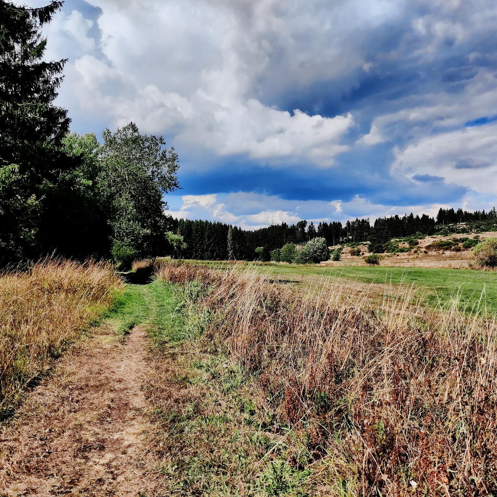
Idyllic forest path along the still young Ahr
0
0


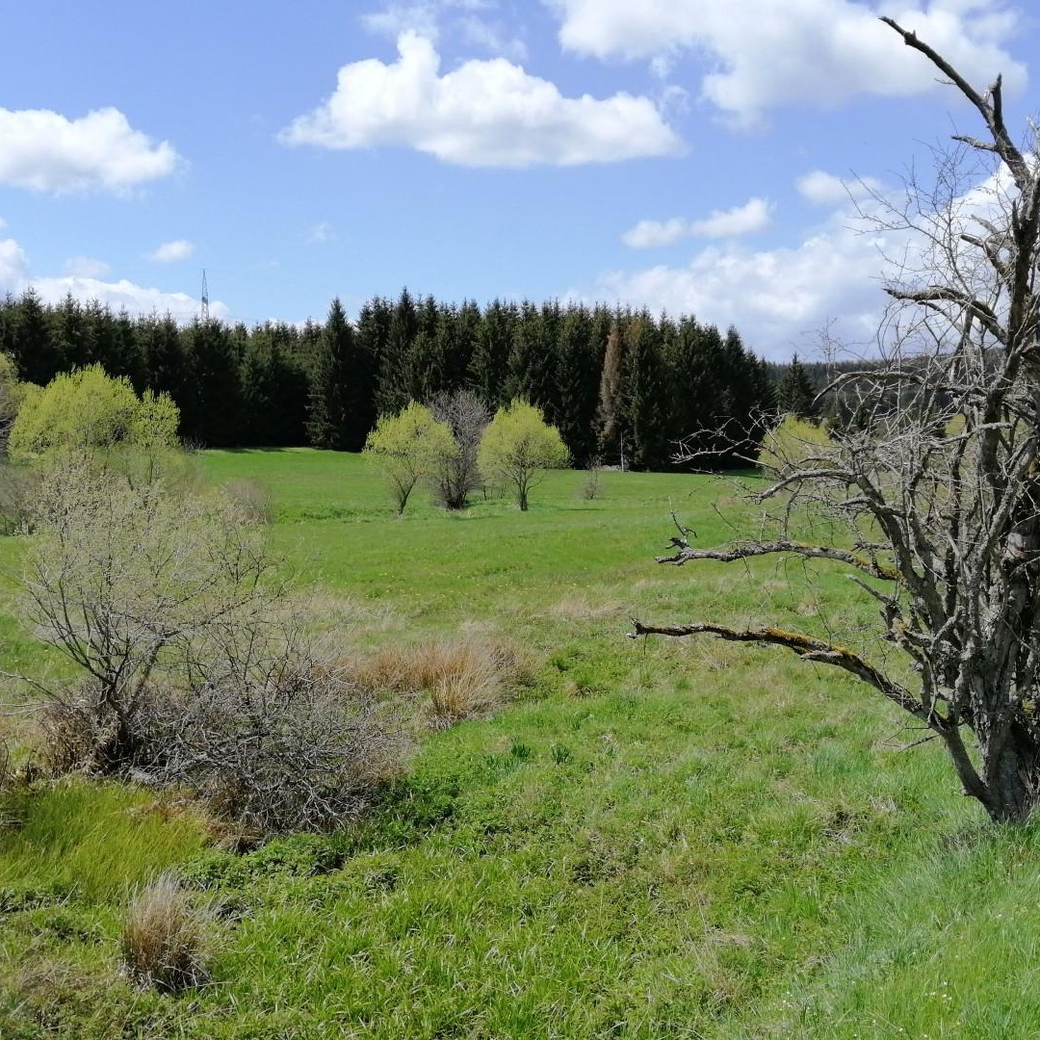
beautiful narrow path - the rest of the way is a wide, boring gravel path
0
0

The language in the following quote may seem a little dated to us, but surely many hikers will be able to empathize with the words of Josef Hofmiller (Dr. phil., 1872 to 1933): "... hiking means living: When do we ever feel so filled with life to the brim, to overflowing, as on a hike? We breathe more freely, our blood pulses more joyfully, the world seems more colorful and richer to us, happiness sings ahead of us from tree to tree like a finch ..."
1
0
For all those who not only want to hike the well-known banks of the Ahr with its vineyards, but also to explore the forest paths of the still very young Ahr near Blankenheim, I would like to give you a poem by the writer O. W. Ullmann to take with you on your way: „Hiking, that means carrying a longing for the sun and for sunny heights for the mountains that tower into the clouds, for the murmuring springs and the still lakes, for the trees that reach into the blue sky, for the fields that ripen for harvest, for the chirping of crickets, for the call of the finches: Hiking, that means carrying a longing.“
0
0

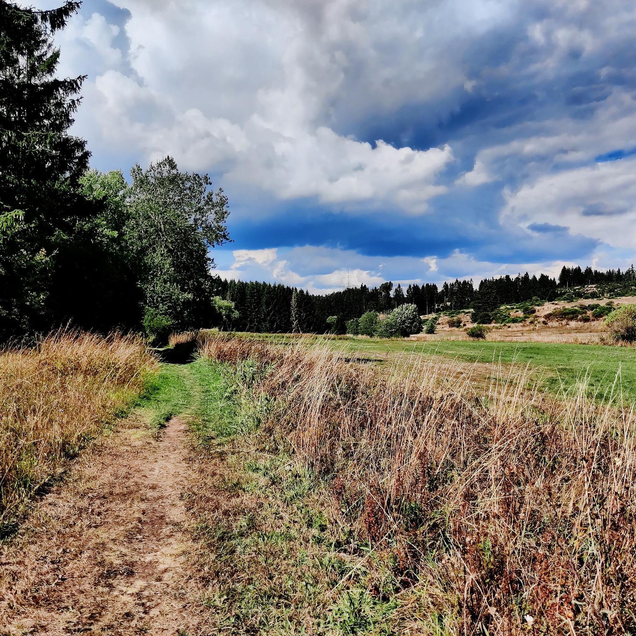
Very good valley for hiking and cycling. The paths lead to all villages. You can reach Nettersheim, Blankenheim, Tondorf etc. from here without any problems. All paths are paved. Tar or gravel.
0
0

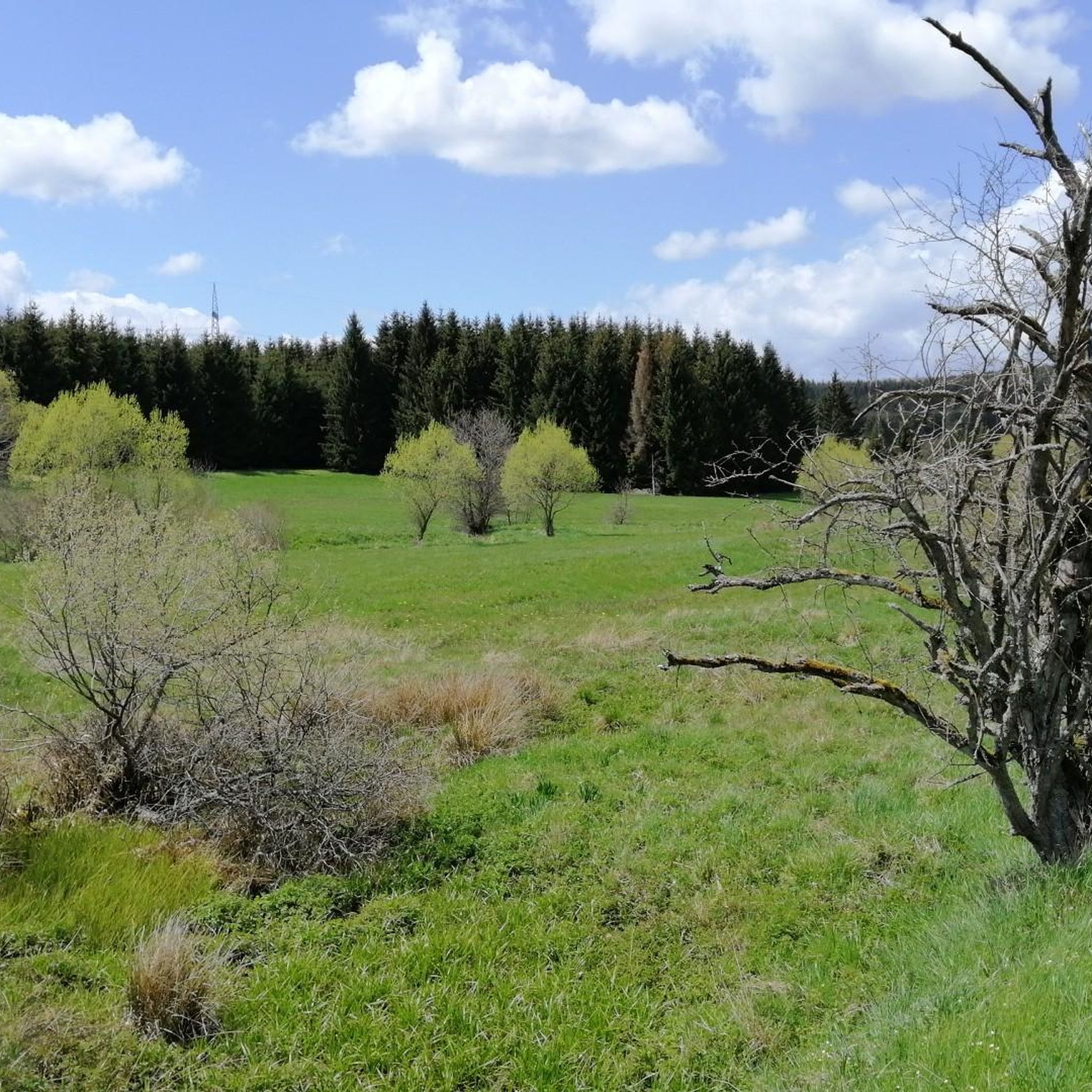
The Genfbach Valley is located in the Eifel region on the so-called Nettersheim-Marmagen Plateau and is a region of particular ecological importance. Its name comes from the Genfbach, a stream approximately ten kilometers long that rises above Blankenheim and meanders largely naturally through the landscape until it finally flows into the Urft River in Nettersheim. Large parts of the Genfbach Valley, particularly the section southeast of Nettersheim, are protected and designated as a protected area of European importance. This is due to the biotope and species diversity still typical of a low mountain range. It features species-rich wet meadows, near-natural stream floodplains, limestone marshes, and alder-ash forests. These habitats provide shelter for a rich variety of wildlife, including rare bird species such as the whinchat, kingfisher, and meadow pipit. Larger mammals such as the wildcat also use the valley as an important migration corridor. The botanical diversity is equally remarkable, with rare plants such as broad-leaved marsh orchid, devil's claw, and, in large numbers, wood cranesbill thriving in the colorful valley meadows. In the heart of the Genfbach Valley, approximately halfway between the source and mouth, lies the historic Ahe Chapel. Dedicated to Bishop Saint Servatius, the chapel was built around 1330. It is the only remaining building from the lost village of Ahe and boasts a long tradition as a place of pilgrimage. Inside the chapel is a 15th-century wooden statue of Saint Servatius. Every year on May 13, the saint's feast day, a procession takes place to the chapel. For hikers, the Genfbach Valley is accessible via several hiking trails, such as the Eifel Loop Ahe Chapel, offering a varied route through expansive meadows and picturesque forests.
0
0
Frequently Asked Questions
How many hiking trails are available in Heinzenberg?
Heinzenberg offers a vast network of over 1500 hiking trails. These routes traverse dense forests and river valleys within the Euskirchen region, providing diverse options for all skill levels.
Are there easy hiking trails suitable for beginners or families?
Yes, Heinzenberg has over 800 easy hiking trails. A great option for a relaxed outing is the Genfbach Valley – Café at the Roman Spring loop from Nettersheim, an easy 7.4 km path that winds through the picturesque Genfbach Valley and passes a Roman spring.
What kind of natural features can I expect to see on hikes in Heinzenberg?
The hiking trails in Heinzenberg are characterized by dense woodlands, serene river valleys, and natural reserves. You'll encounter features like the Ahr River, the Genfbach Valley, and various natural monuments such as the Breakfast Beech and the Haubachtal Nature Reserve.
Are there any historical sites or landmarks to explore along the trails?
Absolutely. Heinzenberg's trails often lead past historical sites. You can see the Late Roman fort on the Urft, the Deichelweiher In der Rhenn, and the Sacred Heart Monastery. The Ahr Spring Forest Path – View of Blankenheim Castle loop from Mürel also offers views of Blankenheim Castle.
Are there any circular hiking routes in Heinzenberg?
Many routes in Heinzenberg are designed as loops, offering convenient circular walks. Examples include the Ahr Spring Forest Path – View of Blankenheim Castle loop from Mürel and the Woodland Music Picnic Shelter – Sacred Heart Monastery, Nettersheim loop from Nettersheim.
What do other hikers say about the trails in Heinzenberg?
The trails in Heinzenberg are highly regarded by the komoot community, with an average rating of 4.6 stars from over 17,000 reviews. Hikers frequently praise the quiet woodlands, well-maintained paths, and the blend of natural beauty with historical interest.
Are there any trails that pass by lakes or ponds?
Yes, several trails offer views of or pass by water features. You can visit the Römerweiher or the Pond Stahlbuschseifen. The Woodland Music Picnic Shelter – Römerweiher loop from NSG Schleifbachtal suedwestlich Nettersheim is an easy route that includes the Römerweiher.
How long do hikes in Heinzenberg typically take?
Hike durations vary widely depending on the route's length and difficulty. Easy walks like the 4 km Woodland Music Picnic Shelter – Römerweiher loop can be completed in just over an hour, while moderate routes such as the 16.7 km Grüner Pütz — Roman springhead – Gillesbach Bridge Crossing loop from Nettersheim might take around 4.5 hours.
Are there any facilities or picnic spots along the trails?
Yes, you can find facilities like the Woodland Music Picnic Shelter, which provides a pleasant spot for a break or a picnic amidst nature. Some routes also pass by cafes, such as the one mentioned on the Genfbach Valley – Café at the Roman Spring loop.
What is the best time of year to go hiking in Heinzenberg?
Heinzenberg offers enjoyable hiking experiences throughout much of the year. Spring and autumn are particularly pleasant for their mild temperatures and vibrant natural colors. Summer provides lush green landscapes, while winter can offer unique, quiet walks, though some trails might be more challenging due to conditions.
Are there any challenging routes for experienced hikers?
While Heinzenberg is known for its many easy and moderate trails, there are also 76 difficult routes for those seeking a greater challenge. These routes typically feature more significant elevation changes and longer distances, providing a rewarding experience for seasoned hikers.
Most popular routes in Heinzenberg
Most popular attractions in Heinzenberg

Get inspired with the komoot mobile app


Explore more
Browse the best Hikes in other regions.
