The best walks and hikes in Billiger Wald
4.5
(13250)
56,601
hikers
41
hikes
Hiking trails in Billiger Wald are characterized by extensive wooded areas and diverse natural features near Euskirchen, Germany. The region includes the Mitbach Aue floodplain and the unique Angstwäldchen, offering varied ecological perspectives. Topography ranges from gentle paths to sections with inclines, providing options for different fitness levels.
Best hiking trails in Billiger Wald
- The most popular hiking route is Crucifix at Lauerzberg – Bench With a View of Billig loop from Kalkarer Moor / Tongrube Toni, a moderate 5.9 miles (9.6 km) trail that takes 2 hours 41 minutes to complete. This route features varied terrain and scenic points.
- Another top favourite among local hikers is Dachsbusch – Bench With a View of Billig loop from Kalkarer Moor / Tongrube Toni, a moderate 5.0 miles (8.0 km) path. It explores the dense woodlands of the area.
- Local hikers also love the Forest Path in Billiger Wald – Bench with a view of Antweiler loop from Kalkarer Moor / Tongrube Toni, a 3.2 miles (5.2 km) trail leading through dense forest paths, often completed in about 1 hour 23 minutes.
- Hiking in Billiger Wald is defined by dense woodlands, natural floodplains like Mitbach Aue, and varied topography. The network offers options for different ability levels, from easy forest walks to moderate trails with inclines.
- The routes in Billiger Wald are highly rated by the komoot community with an average score of 4.4 stars from over 190 reviews. More than 900 hikers have used komoot to explore Billiger Wald's varied terrain.
Last updated: June 27, 2026
4.5
(40)
203
hikers
Moderate hike. Good fitness required. Easily-accessible paths. Suitable for all skill levels.
4.3
(35)
132
hikers
Moderate hike. Good fitness required. Easily-accessible paths. Suitable for all skill levels.

Sign up for free
4.4
(10)
47
hikers
Easy hike. Great for any fitness level. Easily-accessible paths. Suitable for all skill levels.
4.5
(11)
57
hikers
5.42km
01:30
100m
100m
Easy hike. Great for any fitness level. Easily-accessible paths. Suitable for all skill levels.
4.8
(14)
49
hikers
Easy hike. Great for any fitness level. Easily-accessible paths. Suitable for all skill levels.
Get access to more routes and recommendations from other explorers.
Sign up for free
Already have an account?
Our route recommendations are based on thousands of hikes, rides, and runs completed by other people on komoot.
Start today with a free account
Your next adventure awaits.
Login or Signup

Tips from the Community

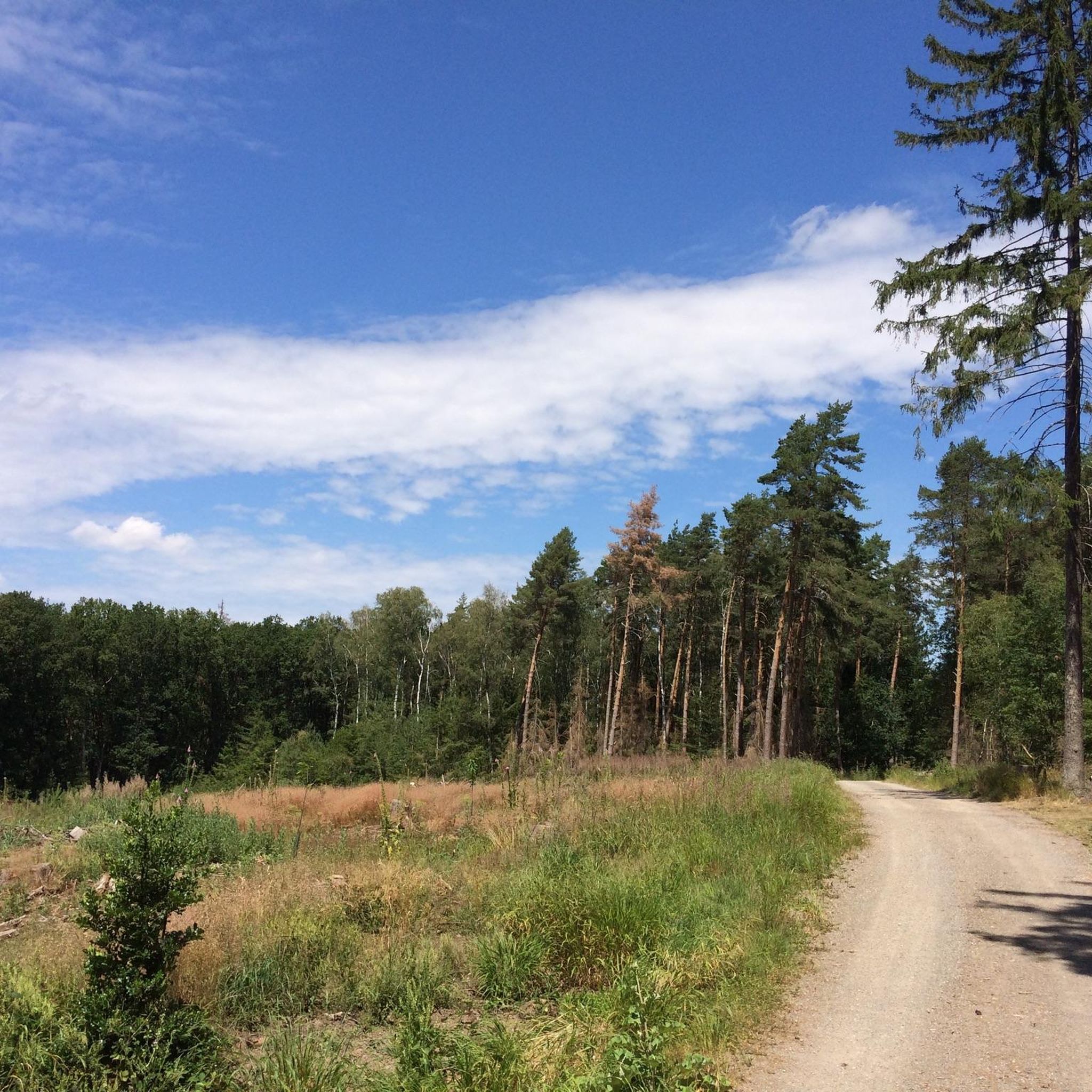
Phew, unfortunately, this forest path is now a blackberry thicket. Maybe it's better to go somewhere else for now.
0
0

From here, in clear weather, we have a wonderful view.
3
0

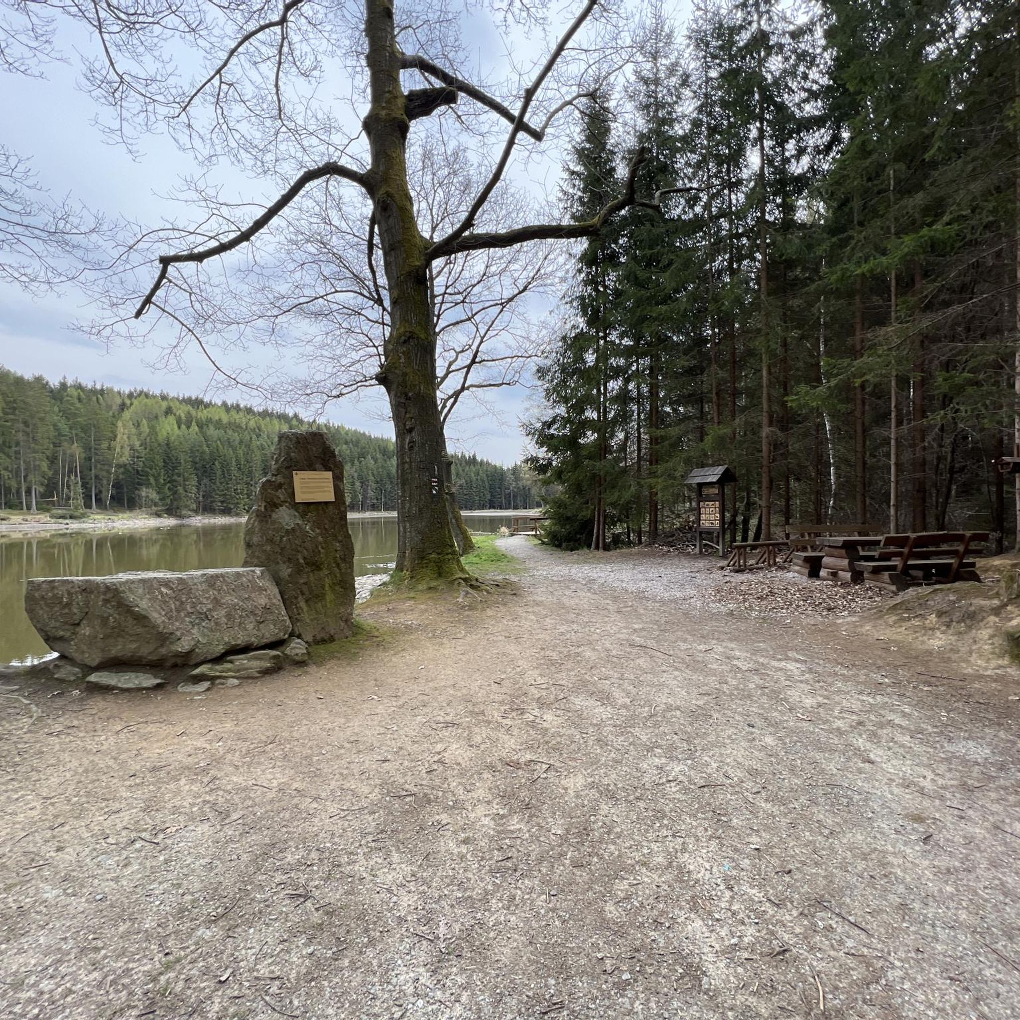
Only the ruined remains of a long-dead tree remain here. Its bare branches still reach toward the sky, and a partial view of the tree's interior reveals that it is largely hollow. Nevertheless, the former giant tree appears to be considered worthy of preservation and has been designated a natural monument.
5
0

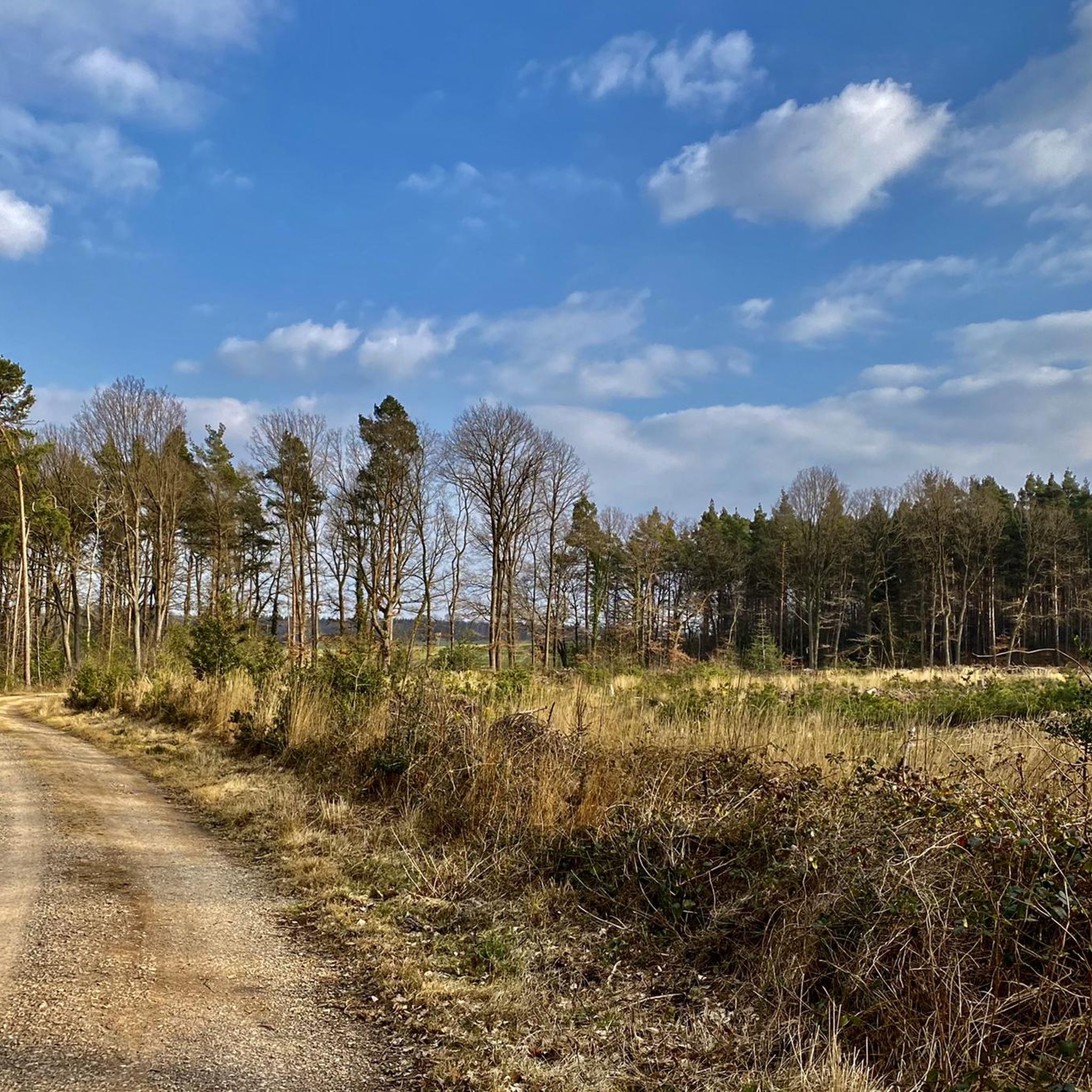
In autumn the trail is sometimes quite overgrown.
2
0

If you'd like to learn more about Euskirchen's history, visit: https://www.euskirchen.de/stadtinfo/historie/chronologische-stadtgeschichte
2
1
When the weather is clear, visitors can enjoy a great panoramic view from here.
4
0
From up here, when the weather is clear, you have a wonderful view far beyond Euskirchen. Just to enjoy.
5
0
The area is completely fenced and entry is strictly prohibited.
5
0
Frequently Asked Questions
How many hiking trails are available in Billiger Wald?
Billiger Wald offers over 30 hiking trails, providing a wide range of options for outdoor enthusiasts. This includes the extensive Nordic Walking Park, which features 28.5 kilometers of well-marked routes.
What kind of terrain can I expect on the hiking trails in Billiger Wald?
The terrain in Billiger Wald is quite varied, characterized by dense woodlands and natural floodplains like the Mitbach Aue. While many paths offer gentle forest walks, some routes, such as sections of the Nordic Walking Park, include inclines of up to 14%, providing options for different fitness levels.
Are there any easy hiking routes suitable for beginners or casual walkers?
Yes, Billiger Wald has plenty of easy routes. Out of the over 30 trails, 18 are classified as easy. An example is the Forest Path in Billiger Wald – Bench with a view of Antweiler loop from Kalkarer Moor / Tongrube Toni, a 3.2-mile (5.2 km) trail that leads through dense forest paths.
Are there any circular hiking routes in Billiger Wald?
Many of the trails in Billiger Wald are designed as loops, offering convenient circular walks. For instance, the Crucifix at Lauerzberg – Bench With a View of Billig loop from Kalkarer Moor / Tongrube Toni is a moderate 5.9-mile (9.6 km) loop featuring varied terrain and scenic points.
What natural landmarks or points of interest can I see while hiking?
Billiger Wald is home to several unique natural features. You can explore the Mitbach Aue floodplain and the intriguing Angstwäldchen. A notable landmark is the Old Oak Tree (Natural Monument), a preserved, largely hollow oak with bare branches reaching skyward, creating an evocative sight.
Are there any historical sites or castles near the hiking trails?
Yes, the area offers historical points of interest. One of the longer Nordic Walking routes passes by Burg Zievel. Additionally, you can find Veynau Castle and the Wayside Cross, Billiger Wald, which add to the scenic and cultural experience of your hike.
Where can I park my car when visiting Billiger Wald for a hike?
The main starting point for many routes is the "Dachsbusch" hiking car park located on Kirschenallee. This provides convenient access to the trail network.
How can I reach Billiger Wald using public transport?
You can access Billiger Wald from Euskirchen at the Mitbachaue, which connects directly to the blue route of the Nordic Walking Park. This allows for convenient access via public transport from Euskirchen.
What do other hikers say about the trails in Billiger Wald?
The trails in Billiger Wald are highly regarded by the komoot community, with an average rating of 4.4 out of 5 stars from over 190 reviews. Hikers often praise the diverse terrain, well-marked paths, and the serene experience of the dense woodlands.
Are there any moderate difficulty trails for more experienced hikers?
Absolutely. Billiger Wald features 16 trails classified as moderate. An example is the Dachsbusch – Bench With a View of Billig loop from Kalkarer Moor / Tongrube Toni, a 5.0-mile (8.0 km) path that explores the dense woodlands and offers a good workout.
Are the trails in Billiger Wald well-marked?
Yes, the trails, especially those within the Nordic Walking Park, are clearly signposted. These signs often provide information on the remaining distance, making navigation straightforward. GPX files are also available for download for those who prefer digital navigation.
Is there a shorter, easy loop trail I can do?
For a shorter, easy option, consider the Dachsbusch – Bench With a View of Billig loop from Euenheim. This trail is 2.0 miles (3.2 km) long and offers a pleasant, accessible walk through the forest.
Most popular routes in Billiger Wald
Most popular attractions in Billiger Wald

Get inspired with the komoot mobile app


Explore more
Browse the best Hikes in other regions.
