The best road cycling routes around Göhrde
4.7
(99)
1,091
riders
143
rides
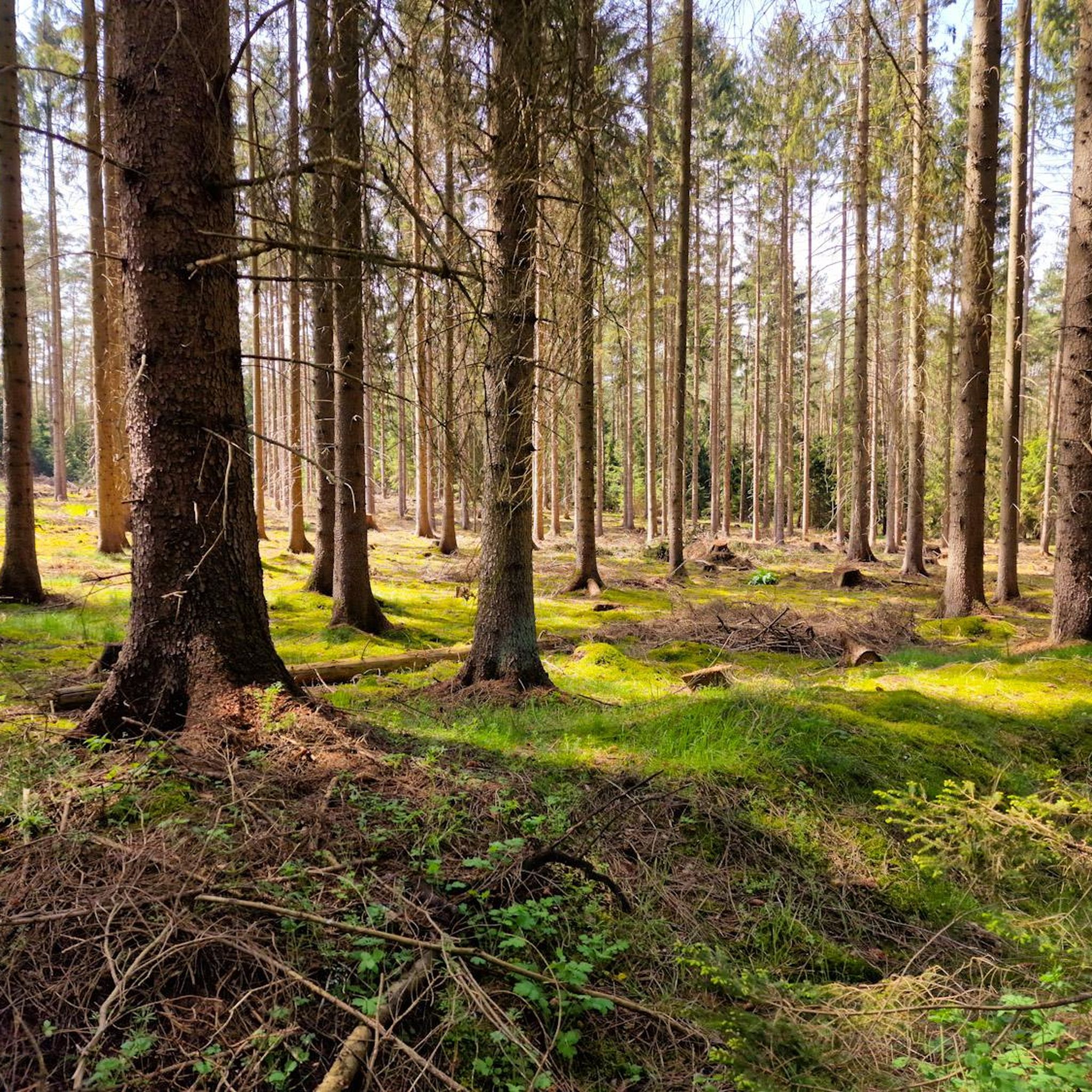
Road cycling around Göhrde is characterized by its diverse natural landscapes, including North Germany's largest contiguous mixed forest region. The terrain features rolling hills and extensive forest areas with ancient oaks and beeches. Many routes follow quiet, paved roads, offering smooth surfaces for road cyclists. The region also includes paths along the Elbe River, providing scenic views.
Best road cycling routes around Göhrde
- The most popular road cycling route is Historic Center of Hitzacker – Dömitz Elbe Bridge loop from…
Last updated: July 11, 2026
5.0
(2)
66
riders
47.1km
02:42
100m
100m
Moderate road ride. Good fitness required. Some segments of this route may be unpaved and difficult to ride.
4.9
(9)
48
riders
96.3km
04:50
350m
350m
Moderate road ride. Good fitness required. Some segments of this route may be unpaved and difficult to ride.

Sign up for free
5.0
(2)
24
riders
35.7km
01:27
80m
80m
Easy road ride. Great for any fitness level. Mostly well-paved surfaces and easy to ride.
4.3
(4)
23
riders
34.4km
01:30
280m
280m
Easy road ride. Great for any fitness level. Mostly well-paved surfaces and easy to ride.
8
riders
54.9km
02:39
350m
350m
Moderate road ride. Good fitness required. Mostly well-paved surfaces and easy to ride.
Get access to more routes and recommendations from other explorers.
Sign up for free
Already have an account?
Our route recommendations are based on thousands of hikes, rides, and runs completed by other people on komoot.
Start today with a free account
Your next adventure awaits.
Login or Signup
Tips from the Community

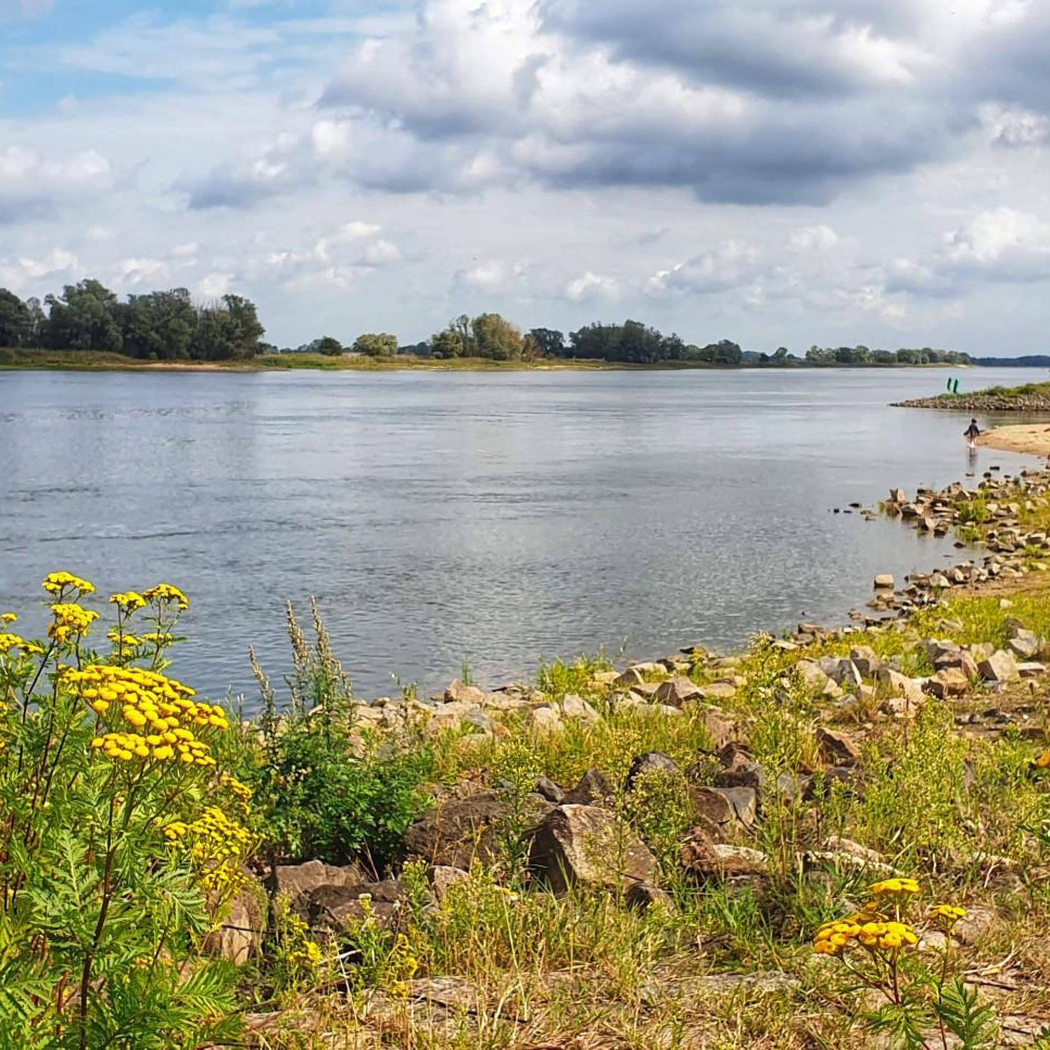
The 4th stage of the Elbhöhenweg also leads along here, which I can warmly recommend. All information about the Elbhöhenweg can be found at the following link: https://www.wanderbares-deutschland.de/wege/alle-wege/elb-hoehenweg-etappe-4-von-hitzacker-bis-neu-darchau-e82d5a097d (Status: 02.05.2026).
0
0
The 4th stage of the Elbhöhenweg also leads here, which I can highly recommend. All information about the Elbhöhenweg can be found at the following link: https://www.wanderbares-deutschland.de/wege/alle-wege/elb-hoehenweg-etappe-4-von-hitzacker-bis-neu-darchau-e82d5a097d (Status: 02.05.2026).
0
0

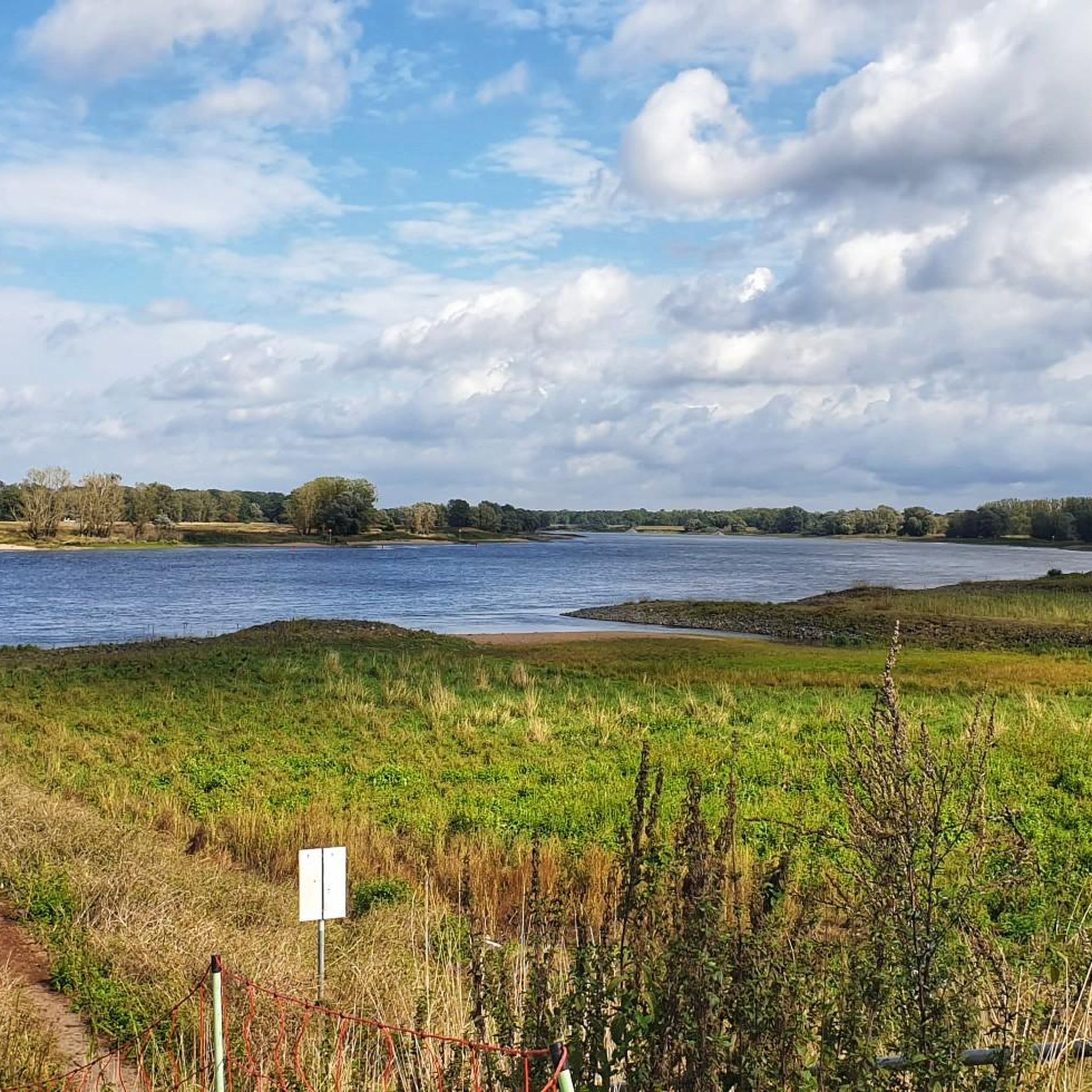
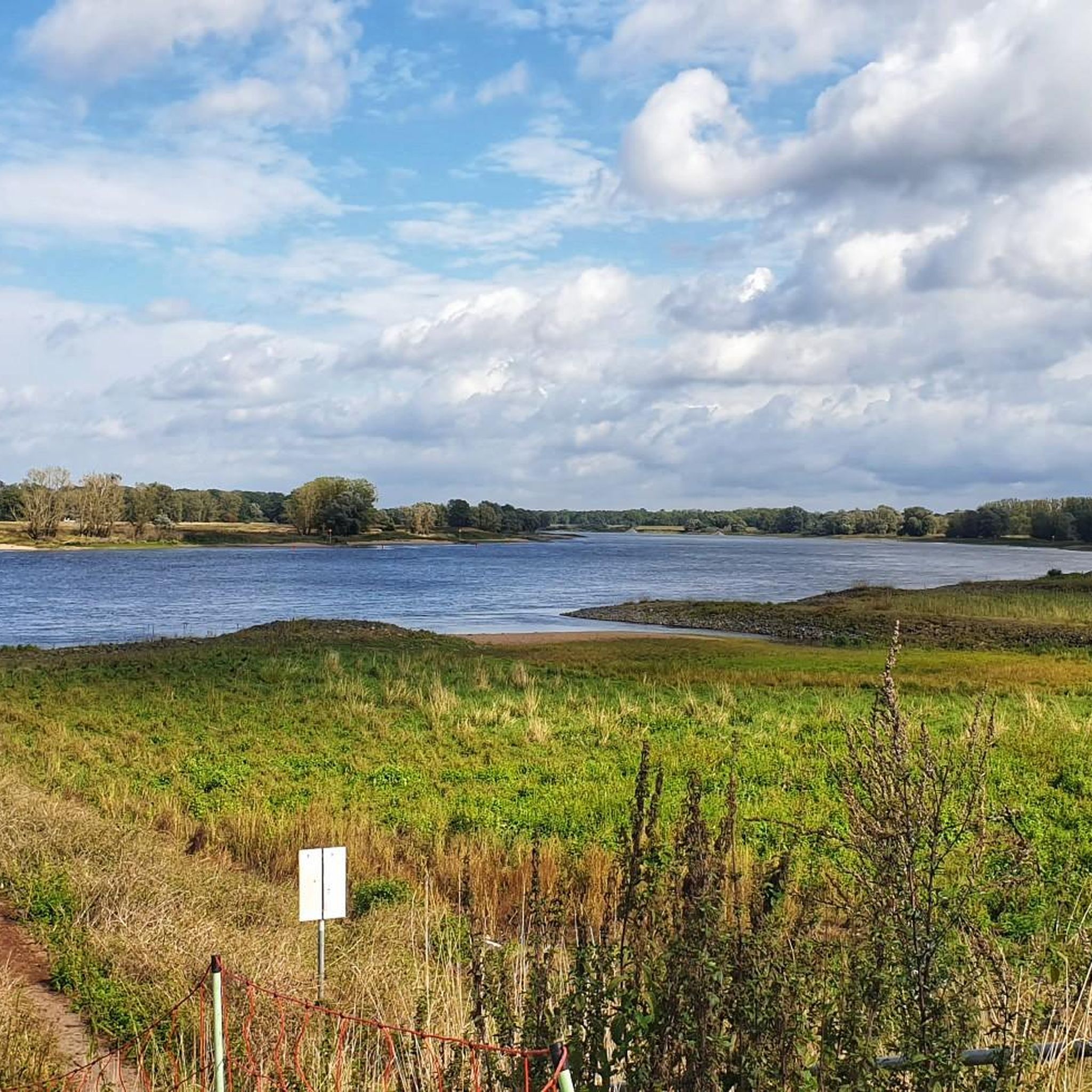
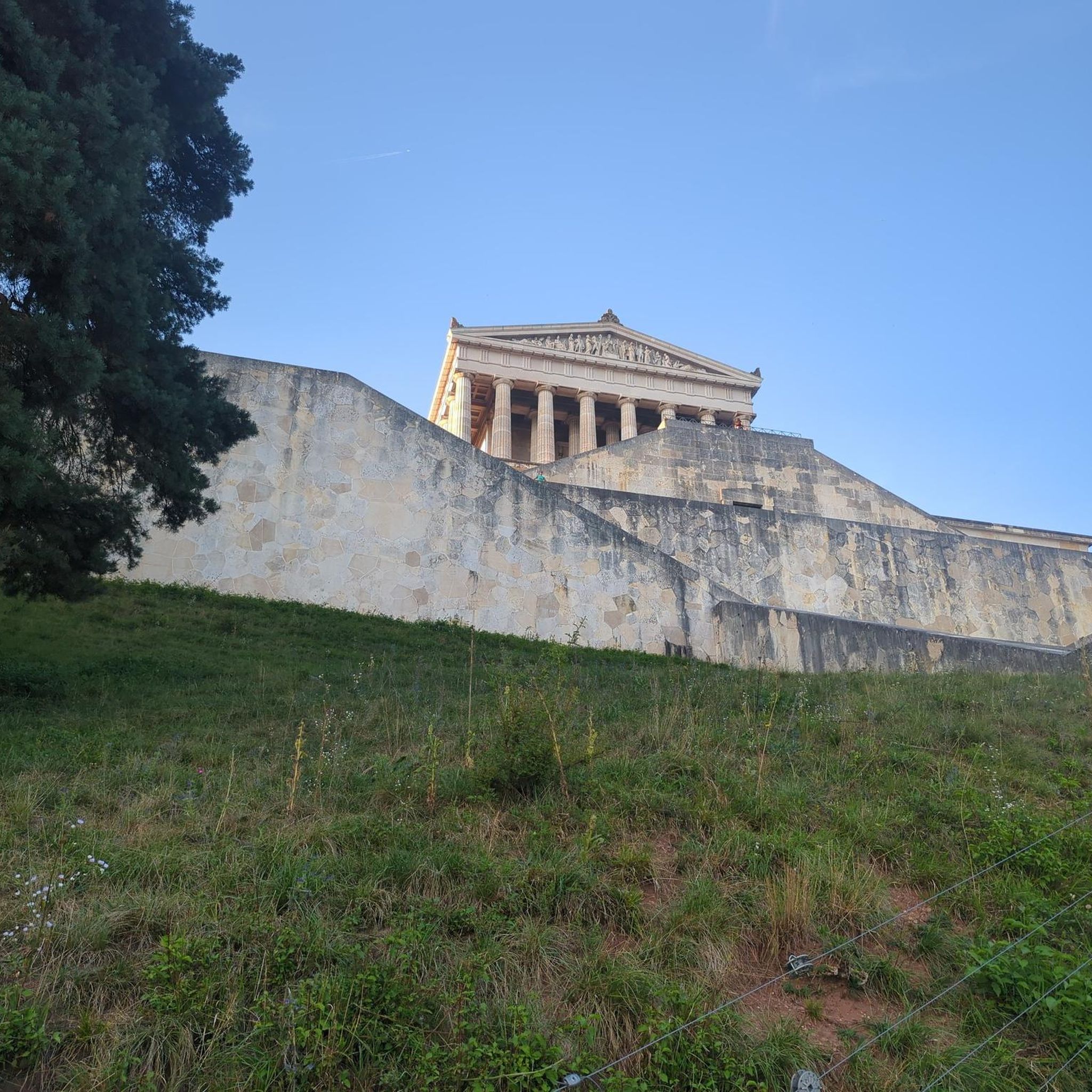
From here you have a fantastic view of Hitzacker
2
0

Be sure to plan for it, it's worth it!
1
0


It was a quick eye-catcher for me as I drove past.
1
0

Here (as in many villages in this area) there are two vending machines stocked with food from local farmers and the surrounding region (e.g., Voelkel beverages, various cheeses, meats and sausages, potatoes, eggs, bread rolls for baking, milk, butter, pasta, honey, etc.). It's a great thing to have when you need something after the shops have closed. The vending machines are accessible 24/7.
0
0

Frequently Asked Questions
How many road cycling routes are available in Göhrde?
Göhrde offers a wide selection of road cycling routes, with over 140 tours available. These routes cater to various skill levels, including easy, moderate, and a few more challenging options.
What is the best time of year for road cycling in Göhrde?
The region is particularly popular for cycling in October, suggesting pleasant conditions during autumn. Generally, spring through early autumn offers ideal weather for road cycling, allowing you to enjoy the diverse landscapes.
What is the typical terrain like for road cycling in Göhrde?
Road cycling in Göhrde features mostly paved surfaces, making it suitable for road bikes. The terrain includes rolling hills and extensive forest areas, with some paths along the Elbe River providing scenic, flatter sections. While some heathland paths can be sandy, the designated road cycling routes generally follow quiet, well-maintained roads.
What do other road cyclists enjoy most about cycling in Göhrde?
The komoot community highly rates road cycling in Göhrde, with an average score of 4.6 stars from over 90 reviews. Cyclists often praise the varied terrain, the extensive forest areas, and the scenic paths along the Elbe River, which offer both active recreation and beautiful views.
What natural features can I expect to see while road cycling in Göhrde?
Göhrde is home to North Germany's largest contiguous mixed forest, featuring ancient oaks and beeches. You can also explore the unique heathland of Breeser Grund and enjoy scenic views along the Elbe River. Highlights like the Elbe Riverside Between the Elbe and Alte Jeetzel offer beautiful natural vistas.
Are there any historical landmarks or points of interest along the road cycling routes in Göhrde?
Yes, Göhrde offers several historical and cultural points of interest. You might encounter the Naturum Göhrde – Forest Museum, the historic Göhrde Hunting Lodge, or discover historic mills in the surrounding villages. The Göhrde Battle Memorial is another significant landmark in the area.
Are there family-friendly road cycling routes in Göhrde?
Yes, Göhrde offers several easy-grade road cycling routes that are suitable for families. These routes often feature smooth, paved surfaces and lower elevation changes, providing a comfortable experience for riders of all ages. An example is the Paved path on the dike – Jasebeck Manor loop from Hitzacker, which is rated easy.
Can I bring my dog on road cycling routes in Göhrde?
While the Göhrde State Forest is rich in wildlife, including fallow deer and red deer, specific rules for dogs on road cycling routes are not explicitly detailed. It's generally advisable to keep dogs on a leash, especially in forested areas, to protect wildlife and ensure safety for all users. Always check local regulations before you go.
Where can I find places to eat or stay near the road cycling routes in Göhrde?
The Göhrde municipality and surrounding villages offer various cafes, restaurants, pubs, and accommodation options. These establishments provide convenient spots for a break, a meal, or an overnight stay, often located within easy reach of the cycling routes.
What are the parking options for cyclists in Göhrde?
Parking facilities for cyclists are available in and around the Göhrde municipality, particularly near popular starting points for routes. Specific parking areas are often signposted, making it convenient to access the road cycling trails.
Is public transport available to reach Göhrde's cycling routes?
Public transport options to Göhrde for cyclists may include bus routes or train stations in nearby towns that allow bicycle transport. It's recommended to check the schedules and bike transport policies of local public transport providers in advance.
What kind of difficulty levels can I expect on road cycling routes in Göhrde?
Göhrde's road cycling network caters to various abilities. You'll find a good mix of easy and moderate routes, perfect for a relaxed ride or a longer tour. There are also a few more difficult routes for experienced cyclists seeking a greater challenge, often involving more significant elevation changes.
Are there any longer road cycling routes for experienced riders in Göhrde?
Yes, experienced riders looking for longer distances can find suitable routes. For instance, the Kniepenberg Observation Tower – View of the Dömitz Elde Lock loop from Schmessau is a moderate 96 km (59.7 miles) path, offering a substantial ride with varied scenery and an observation tower.
Most popular routes around Göhrde
Most popular attractions around Göhrde

Get inspired with the komoot mobile app


Explore more
Browse the best Road cycling routes in other regions.
