The best walks and hikes in Forêt Domaniale De Saint-Michel-En-Thiérache
4.5
(658)
3,153
hikers
24
hikes
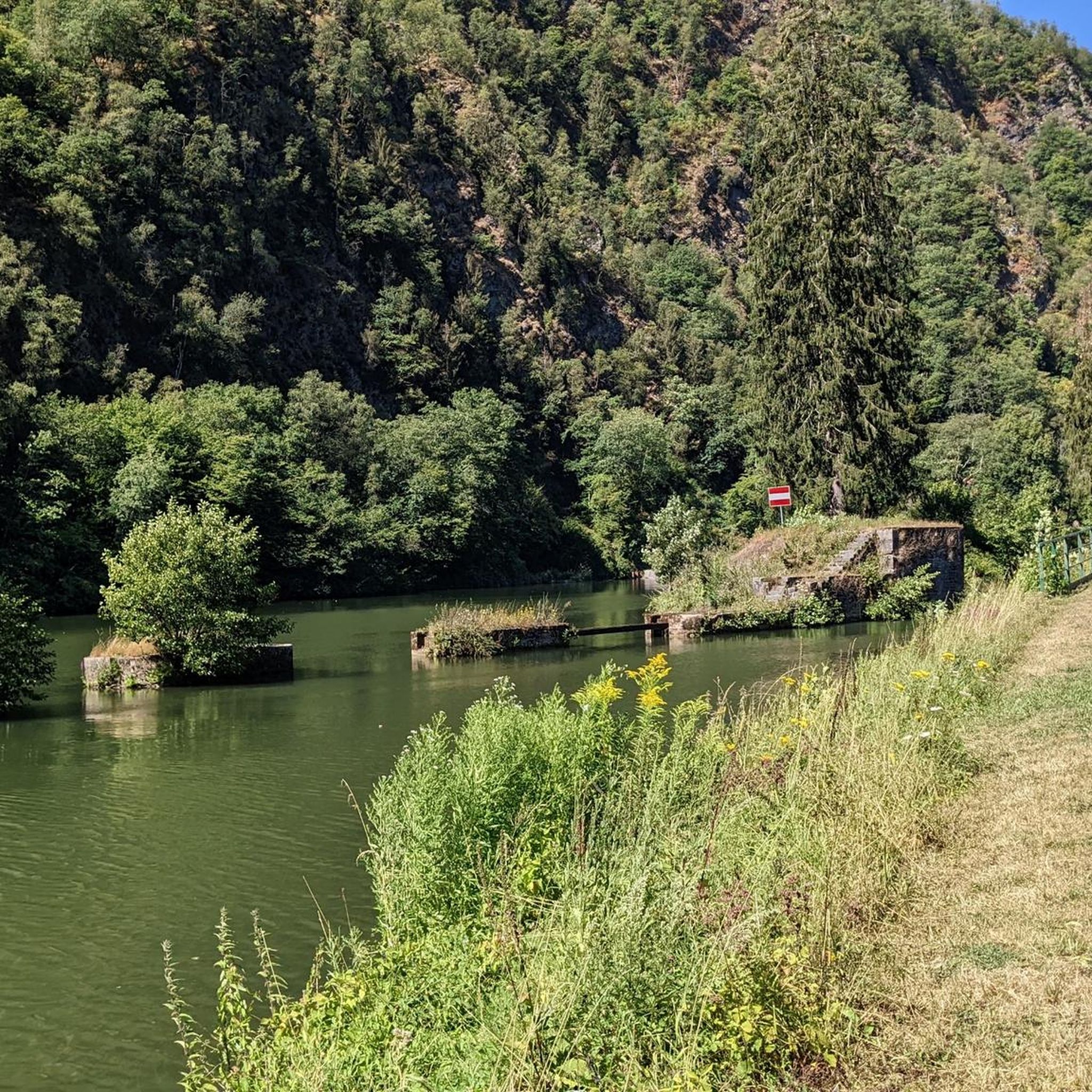
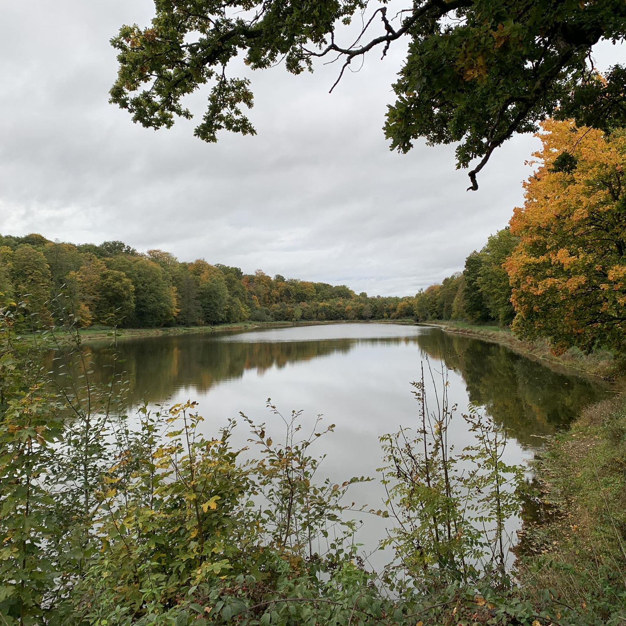
Hiking in Forêt Domaniale De Saint-Michel-En-Thiérache offers diverse landscapes characterized by varied forest environments and a naturally hilly topography. The forest spans over 3,000 hectares, featuring a mosaic of tree species including alders, beeches, and oaks, alongside clearings and thickets. Two rivers, the Gland and the Artoise, traverse the area, with the Artoise noted for its pure water. Historical features, such as remnants of the Maginot Line, are integrated into the natural setting.
Best hiking trails in Forêt Domaniale De…
Last updated: July 9, 2026
9
hikers
5.86km
01:31
40m
40m
Easy hike. Great for any fitness level. Easily-accessible paths. Suitable for all skill levels.
5.0
(7)
11
hikers
9.65km
02:34
100m
100m
Moderate hike. Good fitness required. Mostly accessible paths. Sure-footedness required.

Sign up for free
5.0
(1)
12
hikers
13.9km
03:49
160m
160m
Moderate hike. Good fitness required. Mostly accessible paths. Sure-footedness required.
5.0
(1)
13
hikers
Easy hike. Great for any fitness level. Easily-accessible paths. Suitable for all skill levels.
5.0
(3)
8
hikers
6.95km
01:54
90m
100m
Moderate hike. Great for any fitness level. Mostly accessible paths. Sure-footedness required.
Get access to more routes and recommendations from other explorers.
Sign up for free
Already have an account?
Our route recommendations are based on thousands of hikes, rides, and runs completed by other people on komoot.
Start today with a free account
Your next adventure awaits.
Login or Signup
Popular around Forêt Domaniale De Saint-Michel-En-Thiérache

Tips from the Community

Having the c... between two countries 🤣
0
0
Passed from one country to another discreetly 🤠😎
1
0
Take the time ⌛️ to detour
0
0

The bunker is called " Bloc de limite No. 551
4
0
This is the point where Allied troops crossed the border from France into Belgium in 1944 and liberated Belgium. Today there is a memorial here.
5
0

It is always good that the border becomes visible through the markings at this point.
2
1
Silent witness to the Maginot Line. Historical explanation: The purpose of the line was to protect France against a surprise attack such as that which had occurred in the Franco-Prussian War of 1870, in which France had lost Alsace and part of Lorraine to Germany. When Alsace and Lorraine came fully back to France after the First World War, the old defenses were not only outdated, but also located too far from the new border. Moreover, France had lost so many soldiers in the First World War that the borders could not be adequately defended without additional measures. The French Minister of War Paul Painlevé was the driving force behind the line, but eventually his successor and war veteran André Maginot submitted the plan for construction to the French Parliament in 1930. His project costing 2.9 billion francs (today: 1.5 billion euros) took a heavy toll on the French economy, precisely at a time of economic crisis. However, defense against Germany was considered vital, especially when Adolf Hitler came to power. In addition, it provided 20,000 jobs and electrified the border areas. Source: https://nl.wikipedia.org/wiki/Maginotlinie
5
0
Frequently Asked Questions
How many hiking trails are available in Forêt Domaniale De Saint-Michel-En-Thiérache?
There are over 20 hiking trails in Forêt Domaniale De Saint-Michel-En-Thiérache, offering a range of options from easy walks to more challenging hikes. You'll find 8 easy routes, 14 moderate routes, and 1 difficult route.
What kind of terrain can I expect when hiking in Forêt Domaniale De Saint-Michel-En-Thiérache?
The forest features a naturally hilly topography, providing engaging challenges for hikers. You'll traverse diverse forest environments with a mosaic of tree species like alders, beeches, and oaks, alongside winding rivers such as the Gland and the Artoise.
What do other hikers say about the trails in Forêt Domaniale De Saint-Michel-En-Thiérache?
The trails in Forêt Domaniale De Saint-Michel-En-Thiérache are highly rated by the komoot community, with an average score of 4.4 stars from over 460 reviews. Hikers often praise the dense woodlands, varied landscapes, and the historical elements found along the routes.
Are there any rivers or significant natural features to see in the forest?
Yes, the forest is traversed by two significant rivers, the Gland and the Artoise, known for its clear, pure water. The Grand Riaux stream is also present. The area boasts rich biodiversity, with varied forest environments and an 83-hectare Integral Biological Reserve along the Artoise.
What kind of wildlife might I encounter in Forêt Domaniale De Saint-Michel-En-Thiérache?
Forêt Domaniale De Saint-Michel-En-Thiérache is a protected area with rich biodiversity. Visitors might encounter wildlife such as roe deer, wild boar, and even black storks, especially in designated natural zones.
Are there any interesting historical landmarks in Forêt Domaniale De Saint-Michel-En-Thiérache?
Yes, the forest is steeped in history. You can explore the remains of approximately forty blockhouses from the Maginot Line, constructed in 1936. There are also anti-tank ditches and war memorials. A memorial route invites visitors to explore these historical traces. Notable highlights include Bloc de la Limite No. 551 (Maginot Line) and Border Markers.
Are there any family-friendly hiking options in Forêt Domaniale De Saint-Michel-En-Thiérache?
Yes, the forest offers trails suitable for various skill levels, including easy walks that are great for families. For example, the Boundary stones/Border – La Wårtoise loop from Mémorial aux alliés is an easy 5.6 km route that takes about 1 hour 27 minutes, perfect for a family outing.
Are dogs allowed on the trails in Forêt Domaniale De Saint-Michel-En-Thiérache?
Generally, dogs are welcome on trails in Forêt Domaniale De Saint-Michel-En-Thiérache, but it's always recommended to keep them on a leash to protect the local wildlife and ensure a pleasant experience for all hikers. Please be mindful of any specific signage regarding protected areas.
Are there any circular walks available in the forest?
Yes, many of the trails in Forêt Domaniale De Saint-Michel-En-Thiérache are circular, allowing you to start and end at the same point. An example is the Border Markers – Cows in the Pasture loop from Macquenoise, an easy 5.9 km route.
What is the best time of year to hike in Forêt Domaniale De Saint-Michel-En-Thiérache?
The forest is beautiful year-round, with each season offering a unique experience. Spring brings fresh greenery and blooming flora, while autumn showcases stunning plays of light and vibrant foliage. Summer is ideal for longer hikes, and even winter can be magical with snow, though some paths might be more challenging.
Are there facilities like picnic areas or resting spots in the forest?
Yes, for the convenience of visitors, the forest is equipped with wooden facilities for resting or eating near the rivers, as well as designated picnic areas. These spots are perfect for a break during your hike.
Is there parking available for hikers?
While specific parking locations are not detailed, the presence of numerous trailheads and popular routes suggests that parking is generally available at common access points to the forest. It's advisable to check the starting points of individual routes for precise parking information.
Where can I find more information about the Forêt de Saint-Michel and its attractions?
For additional details about the Forêt de Saint-Michel, including its natural and historical significance, you can visit the local tourism website: tourisme-thierache.fr.
Most popular routes in Forêt Domaniale De Saint-Michel-En-Thiérache
Most popular attractions in Forêt Domaniale De Saint-Michel-En-Thiérache

Get inspired with the komoot mobile app


Explore more
Browse the best Hikes in other regions.
