The best MTB trails in Zum Häsebusch
4.5
(15)
58
riders
27
rides
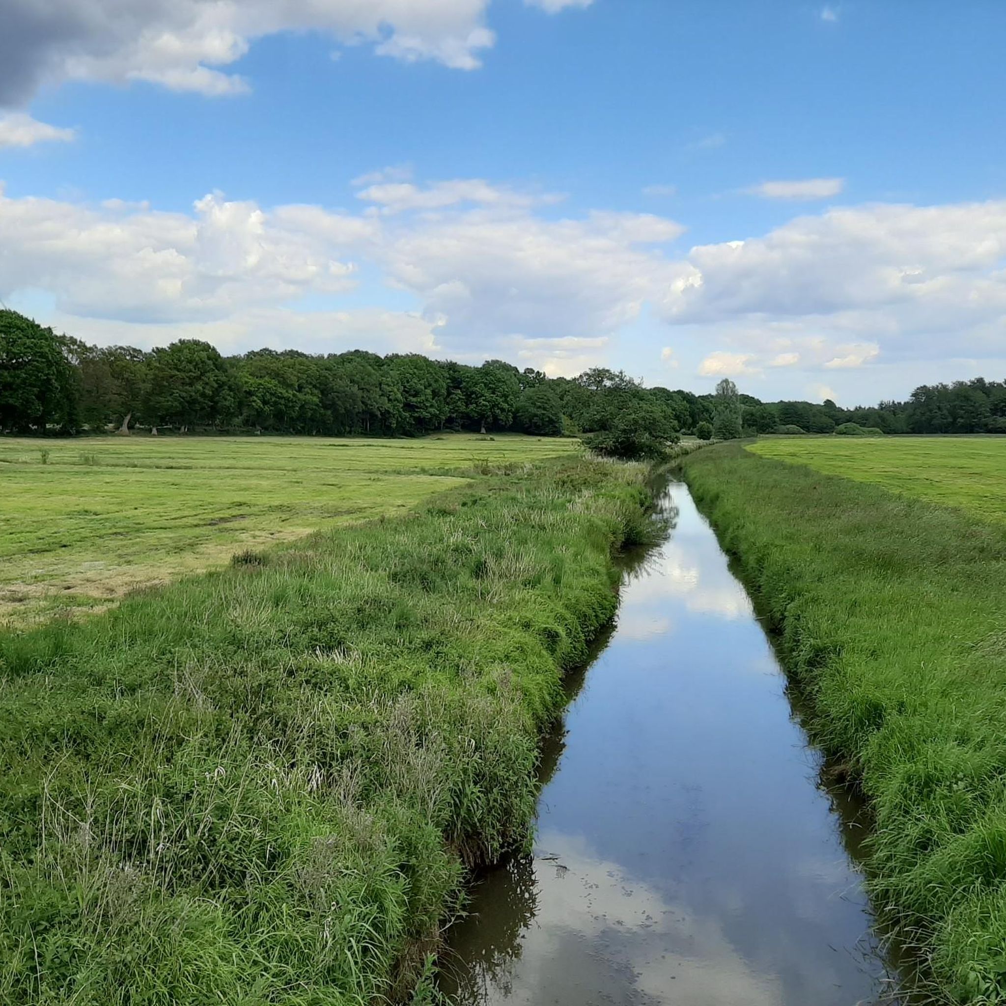
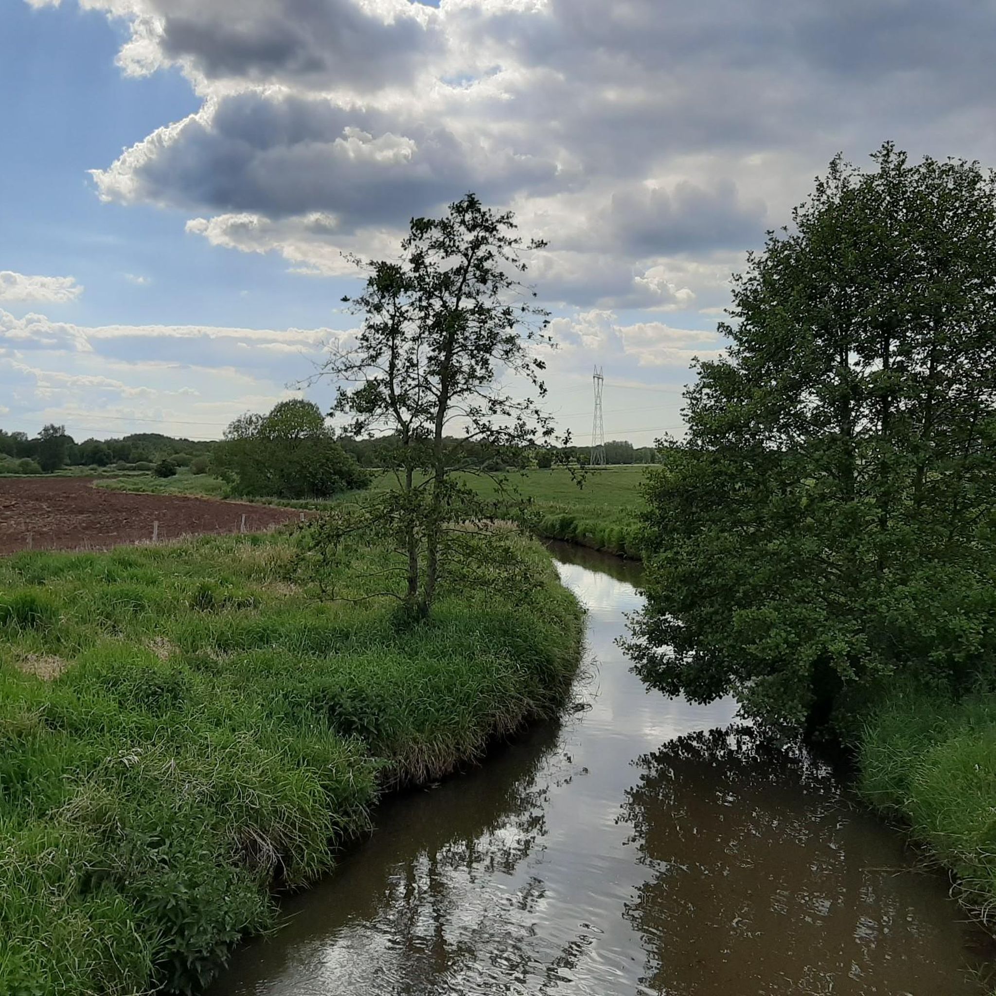
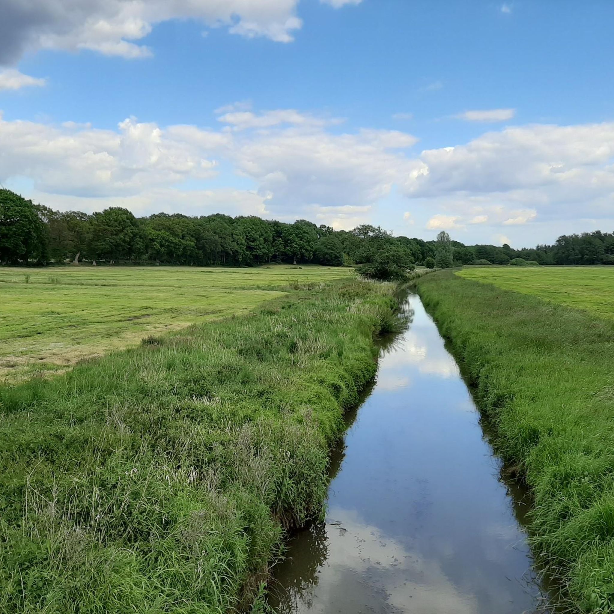
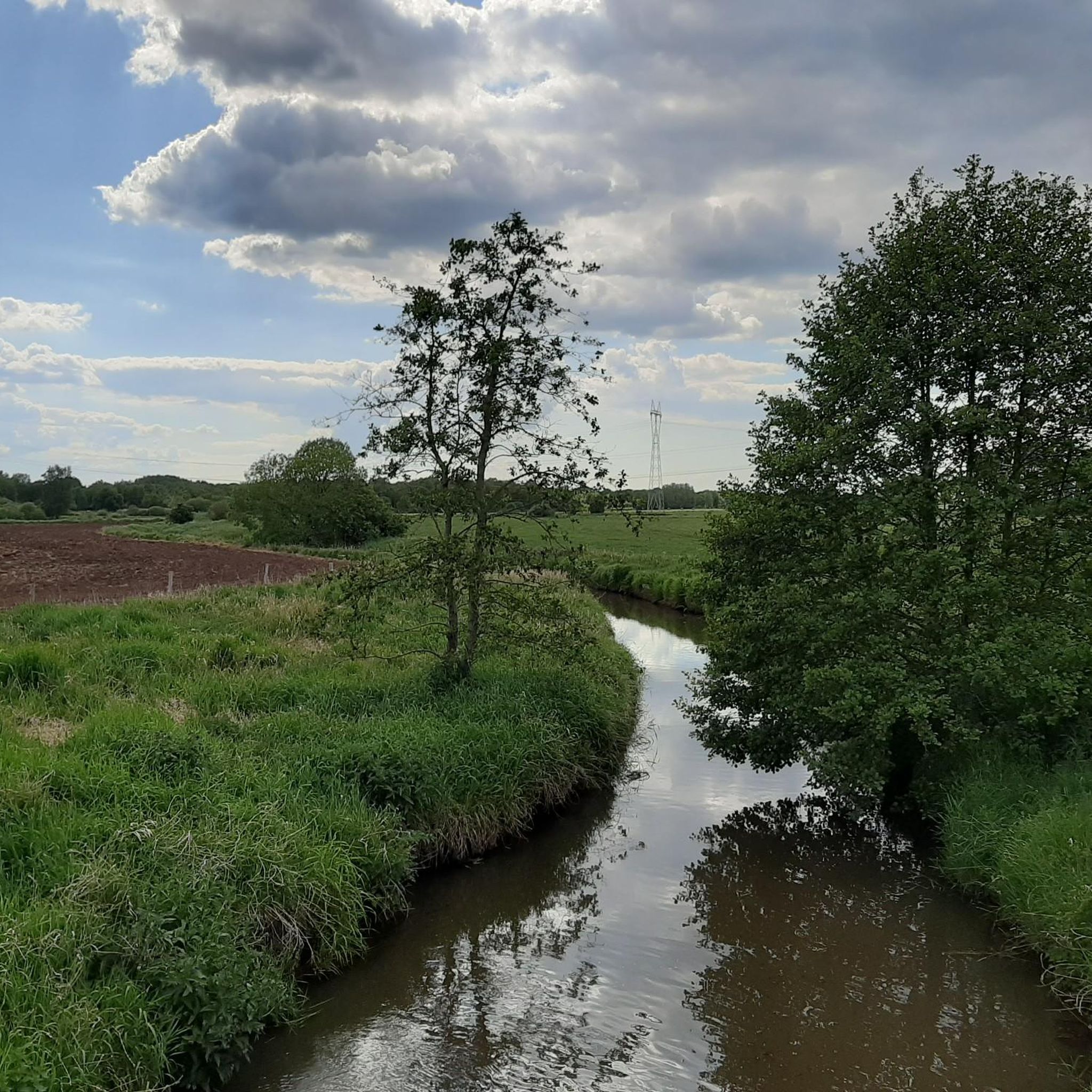
Mountain bike trails in Zum Häsebusch are located within a forested area in Lower Saxony, Germany. The region features varied terrain, including forests and meadows, with routes that often follow river valleys. Elevation changes are generally gentle, making it suitable for longer rides through natural landscapes.
Best mountain bike trails in Zum Häsebusch
- The most popular mountain bike trail is Charlemagne Monument in Rechtenfleth – Weser Ferry Sandstedt loop from Hagen im Bremischen, a 21.0 miles (33.8 km) trail…
Last updated: July 1, 2026
1
riders
Easy mountain bike ride. Great for any fitness level. Suitable for all skill levels.
2
riders
Moderate mountain bike ride. Good fitness required. Suitable for all skill levels.

Sign up for free
5.0
(2)
4
riders
Moderate mountain bike ride. Good fitness required. Advanced riding skills necessary.
5.0
(1)
3
riders
40.6km
02:53
130m
130m
Moderate mountain bike ride. Good fitness required. Advanced riding skills necessary.
1
riders
29.1km
01:51
90m
90m
Moderate mountain bike ride. Great for any fitness level. Advanced riding skills necessary.
Get access to more routes and recommendations from other explorers.
Sign up for free
Already have an account?
Our route recommendations are based on thousands of hikes, rides, and runs completed by other people on komoot.
Start today with a free account
Your next adventure awaits.
Login or Signup

Tips from the Community

Don’t forget your Aunt Enso card to refill your energy reserves.
0
0


They say they have the best Bockwurst there...
1
0


Former tank track underpass Dorfstrasse Hülsberg
0
0

as if there was a road down there... a long time ago😄
0
0

The monument to Charlemagne lies west of Spielstraße on the Weser dike. There he is now lonely 😀
3
0

Currently (June 2023) it's time to pull your head in 😉
0
0
Frequently Asked Questions
How many mountain bike trails are available in Zum Häsebusch?
Zum Häsebusch offers a selection of over 25 mountain bike trails. These routes navigate through varied terrain, including forests, meadows, and river valleys, primarily located in Lower Saxony, Germany.
What is the typical difficulty level for mountain bike trails in Zum Häsebusch?
The trails in Zum Häsebusch are generally categorized as easy to moderate. There are 7 easy routes and 21 moderate routes, making the area accessible for a wide range of riders. The elevation changes are typically gentle, allowing for enjoyable rides through natural landscapes.
Are there any specific trails recommended for beginners or those looking for an easy ride?
Yes, for an easy ride, consider the Charlemagne Monument in Rechtenfleth – Weser Ferry Sandstedt loop from Hagen im Bremischen. This 21.0-mile (33.8 km) route explores the area around the Weser River and is designed for a comfortable experience.
What kind of terrain can I expect on the mountain bike trails in Zum Häsebusch?
You can expect a diverse landscape featuring dense forests, open meadows, and scenic river valleys. The trails often follow natural contours, providing a mix of surfaces suitable for mountain biking. While the region is not known for extreme elevation, it offers engaging rides through its varied natural settings.
Are there any longer, more challenging routes for experienced mountain bikers?
For a moderate challenge, the Old Railbed Trail – Old Tank Track Underpass loop from Wulsbüttel is a good option. This route covers 24.1 miles (38.8 km) and features varied terrain with some elevation gain, offering a more extended and engaging ride.
What do other mountain bikers say about the trails in Zum Häsebusch?
The mountain bike trails in Zum Häsebusch are highly rated by the komoot community, with an average score of 4.7 stars from over 14 reviews. Riders often praise the quiet woodlands and the well-maintained paths that make for an enjoyable outdoor experience.
Are there any trails that offer scenic views or pass by interesting natural features?
Many trails offer scenic views of the natural surroundings. For example, the Heilsmoor Observation Platform – Rösthof Coffee & Craft loop from Albstedt leads through forests and past an observation platform, providing opportunities to take in the landscape.
Are there any circular mountain bike routes in Zum Häsebusch?
Yes, many of the trails in Zum Häsebusch are designed as loops. For instance, the Tree Lookout Rest Area – Muddy Forest Trail loop from Heide und Moor bei Haslah is a 25.8-mile (41.5 km) circular route that allows you to start and finish in the same location.
Is Zum Häsebusch suitable for mountain biking with children or as a family activity?
Given the prevalence of easy to moderate trails and generally gentle elevation changes, Zum Häsebusch can be suitable for family mountain biking. Routes that stick to wider paths through forests and meadows are ideal for a relaxed family outing.
What is the best time of year to go mountain biking in Zum Häsebusch?
The forested and meadowed landscapes of Zum Häsebusch are enjoyable throughout the warmer months, typically from spring to autumn. These seasons offer pleasant temperatures and vibrant scenery. Always check local weather conditions before heading out.
Are there any trails that go through particularly dense forest areas?
Yes, many routes navigate through dense forest sections. The Forest highway in the Elm – Narrow path by the Panzergleis loop from Dorfhagen is a moderate 19.8-mile (31.9 km) path that specifically navigates through forested sections with some open areas, offering a classic forest riding experience.
Most popular routes in Zum Häsebusch

Get inspired with the komoot mobile app


Explore more
Browse the best MTB trails in other regions.
