The best walks and hikes in Gaupesteinmarka
4.7
(127)
993
hikers
132
hikes
Hiking in Gaupesteinmarka offers diverse landscapes within Nordre Follo municipality, characterized by varied forest terrain, pine ridges, and distinct cracked valleys. The area features significant natural landmarks such as the Gaupesteinen glacial erratic and several smaller tarns, with Vientjern Lake being a popular spot. Elevations range from lower-lying areas to the highest point at Gaupesteinåsen, 266.9 meters above sea level, providing a range of hiking experiences. The Rustadelva river also adds to the varied environment with meandering flows and sections…
Last updated: October 13, 2026
4.5
(2)
6
hikers
10.1km
02:41
110m
110m
Moderate hike. Good fitness required. Easily-accessible paths. Suitable for all skill levels.
4.7
(3)
13
hikers
5.91km
01:46
190m
190m
Easy hike. Great for any fitness level. Easily-accessible paths. Suitable for all skill levels.

5.0
(1)
6
hikers
7.21km
01:55
80m
80m
Easy hike. Great for any fitness level. Easily-accessible paths. Suitable for all skill levels.
7
hikers
8.08km
02:19
140m
140m
Moderate hike. Good fitness required. Mostly accessible paths. Sure-footedness required.
5.0
(2)
3
hikers
4.94km
01:21
70m
70m
Easy hike. Great for any fitness level. Easily-accessible paths. Suitable for all skill levels.
Get access to more routes and recommendations from other explorers.
Already have an account?
Our route recommendations are based on thousands of hikes, rides, and runs completed by other people on komoot.
Start today with a free account
Your next adventure awaits.
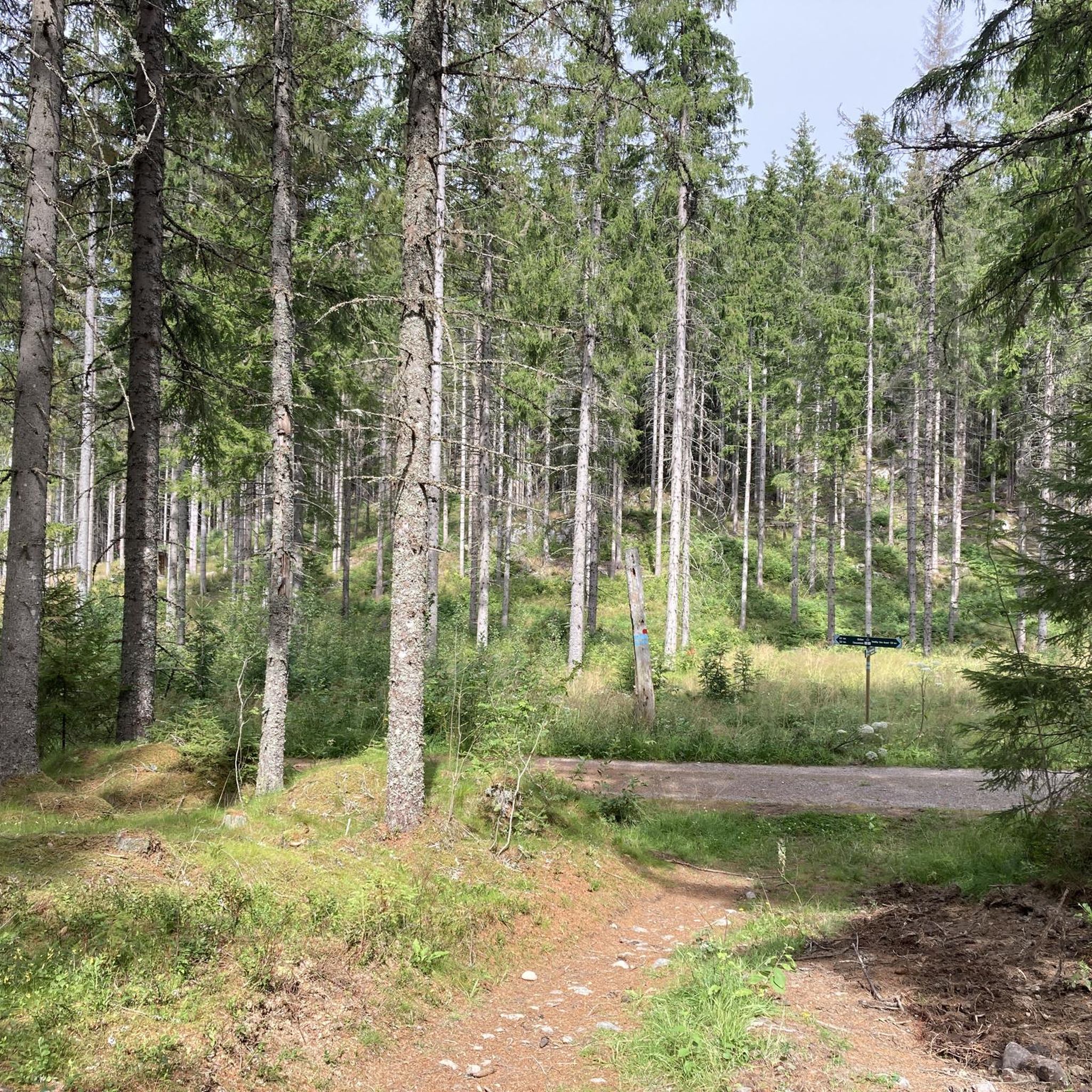
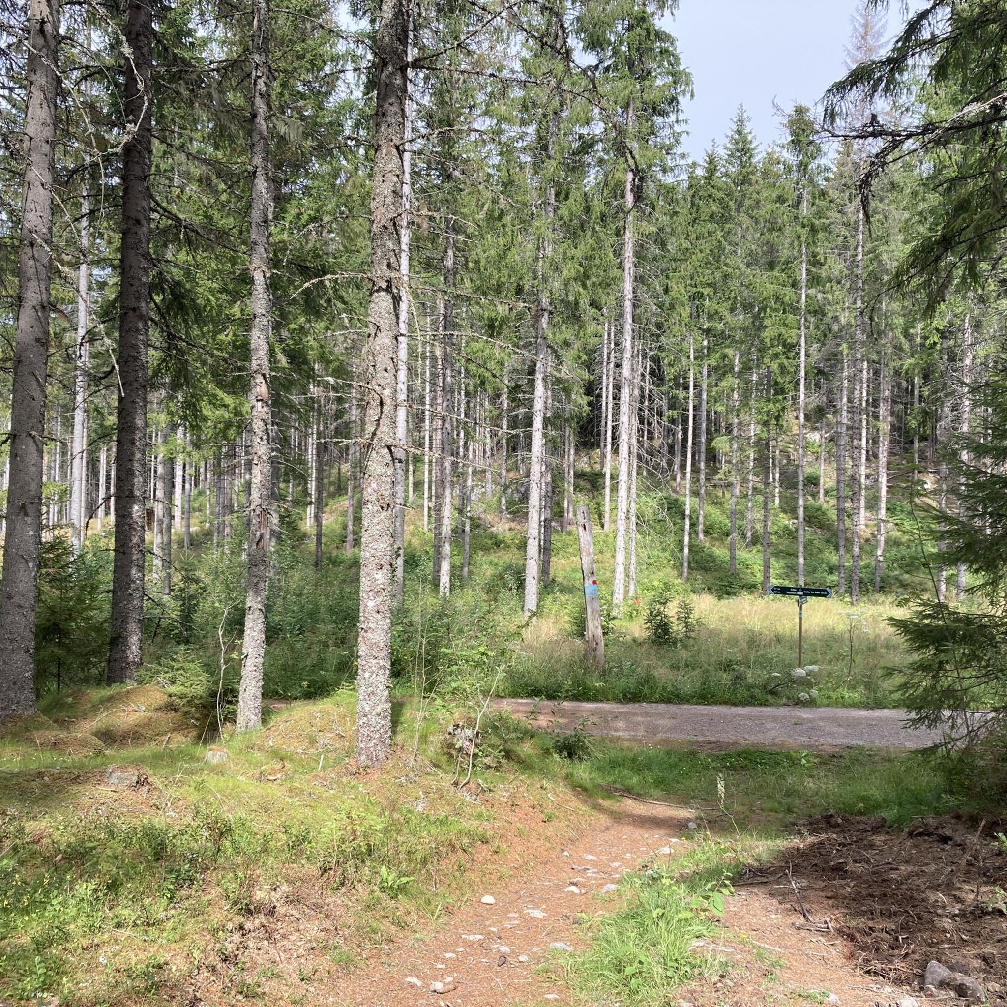
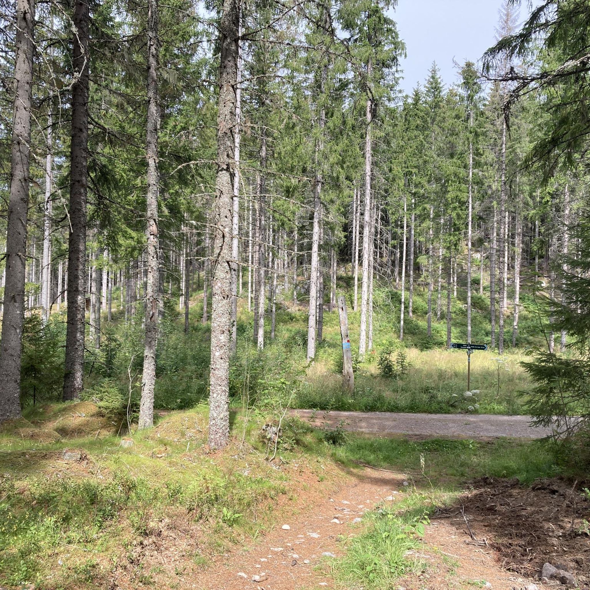
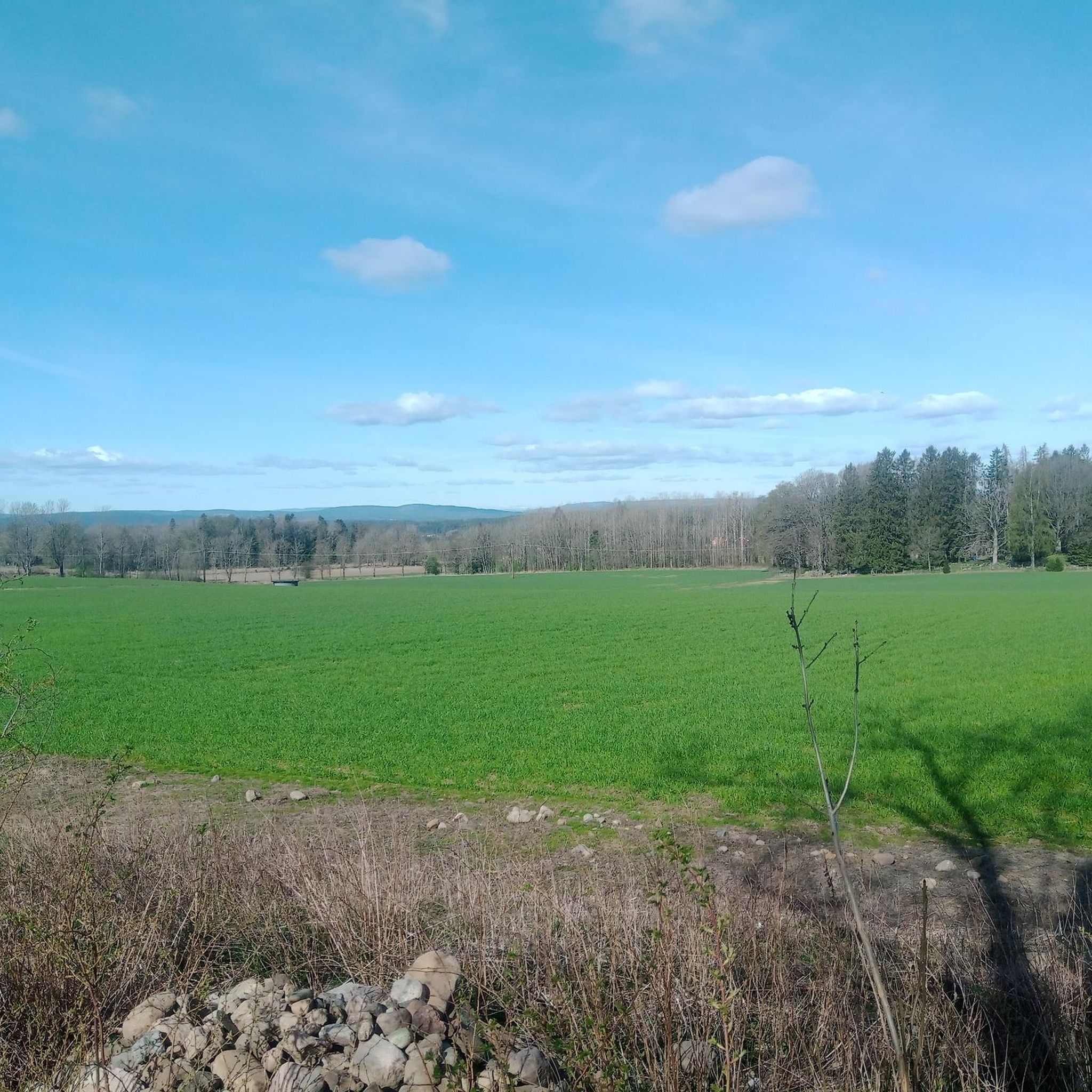

Tips from the Community

A beautiful place to rest, with a nice view.
0
0

Beautiful views and nice walk to get there !
0
0

Nice for having a break. Its also quite easy to climb on top.
0
0

Brand new tower. Finished end of 2020. Great place to have a break or to camp.
0
0
good spot to park and start your hike in Gaupesteinmarka
0
0
Frequently Asked Questions
How many hiking trails are available in Gaupesteinmarka?
Gaupesteinmarka offers a wide selection of hiking experiences, with over 130 routes recorded on komoot. These trails cater to various preferences, from easy strolls to more challenging treks.
What are the different difficulty levels for hiking in Gaupesteinmarka?
The trails in Gaupesteinmarka range from easy to difficult. You'll find approximately 80 easy routes, 50 moderate routes, and a few more challenging options. This diversity ensures there's a suitable path for every fitness level and experience.
Are there family-friendly hiking trails in Gaupesteinmarka?
Yes, Gaupesteinmarka has many family-friendly options. Easy routes, such as the Hjellsåsen – Vientjern Lake loop from Skotbu, are perfect for families, offering accessible paths and scenic views around Vientjern Lake. These shorter loops are suitable for any fitness level.
What notable natural features can I expect to see while hiking in Gaupesteinmarka?
Gaupesteinmarka is rich in natural beauty. You can expect to encounter dramatic high rock walls, swift-flowing creeks, and varied forest terrain with bear moss and old stumps. A significant attraction is the 'Gaupesteinen' itself, a huge moving block. Many routes also feature serene lakes like Vientjern Lake.
Are there any circular hiking routes in Gaupesteinmarka?
Yes, many routes in Gaupesteinmarka are circular, allowing you to start and end at the same point. Examples include the popular Hjellsåsen – Vientjern Lake loop from Skotbu and the more moderate Vientjern Lake – Gaupestein Boulder loop from Granerud.
Is there parking available for hikers in Gaupesteinmarka?
Yes, parking is available at various access points to the trails. For example, you can find parking at locations such as Unåsveien, which serves as a convenient starting point for many hikes in the area.
What is the best time of year to hike in Gaupesteinmarka?
Gaupesteinmarka is enjoyable throughout much of the year. While specific recommendations depend on your preferred conditions, the area is particularly beautiful in spring and autumn. For winter hiking, be prepared for snow and ice, as conditions can be challenging.
Are there any facilities or amenities for hikers in Gaupesteinmarka?
Hikers can find amenities such as the Gaupesteinhytta, a hiking hut that serves as a resting point. Some areas also offer facilities for campfires, enhancing the outdoor experience.
What do other hikers enjoy most about Gaupesteinmarka?
The area is highly rated by the komoot community, with an average score of 4.8 stars from over 110 reviews. Hikers often praise the diverse landscapes, the impressive rock formations, and the peaceful forest terrain, as well as the variety of trails suitable for different abilities.
Are there any longer or more challenging hikes in Gaupesteinmarka?
Yes, for those seeking a greater challenge, Gaupesteinmarka offers routes that require good fitness and sure-footedness. Some trails can involve elevation gains up to 3,000 feet and durations exceeding 5 hours, requiring sturdy shoes and preparation. An example of a moderate route is the Vientjern Lake – Gaupestein Boulder loop from Granerud, which is over 10 km long.
Can I reach Gaupesteinmarka trailheads using public transport?
While specific public transport options to every trailhead might be limited, it's advisable to check local bus or train schedules to nearby towns like Skotbu or Granerud. From there, you might need to arrange for a short taxi ride or walk to reach the starting points of some trails.
What kind of terrain should I expect on the trails?
The terrain in Gaupesteinmarka is quite varied. You'll hike through forests with diverse ground cover, including carpets of bear moss, old clods, shifting stones, and numerous upturned roots. Paths also wind through areas where streams flow freely, adding to the natural diversity.
Most popular routes in Gaupesteinmarka

Get inspired with the komoot mobile app


Explore more
Browse the best Hikes in other regions.
