The best walks and hikes in Dronninglund Storskov
4.9
(39)
198
hikers
16
hikes
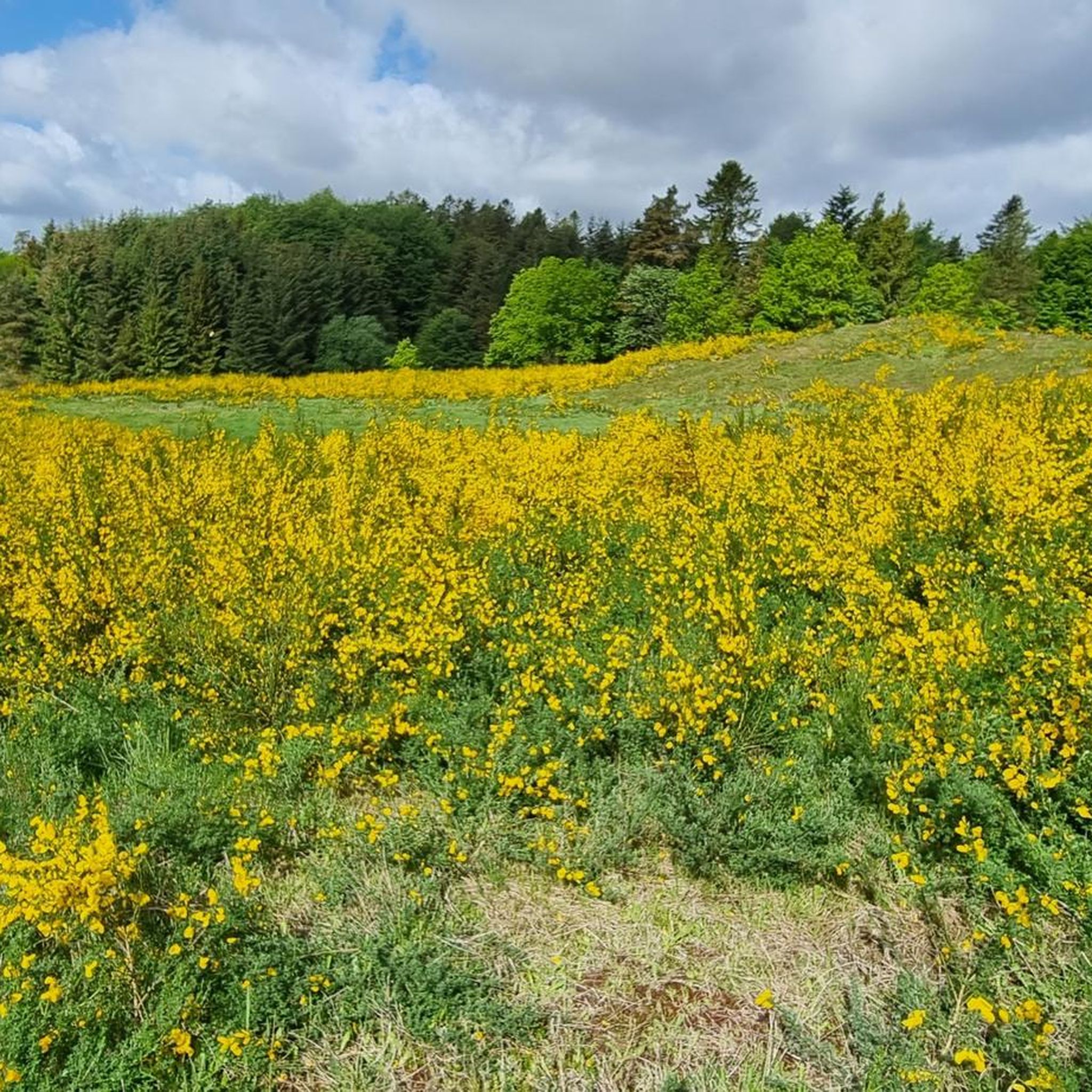
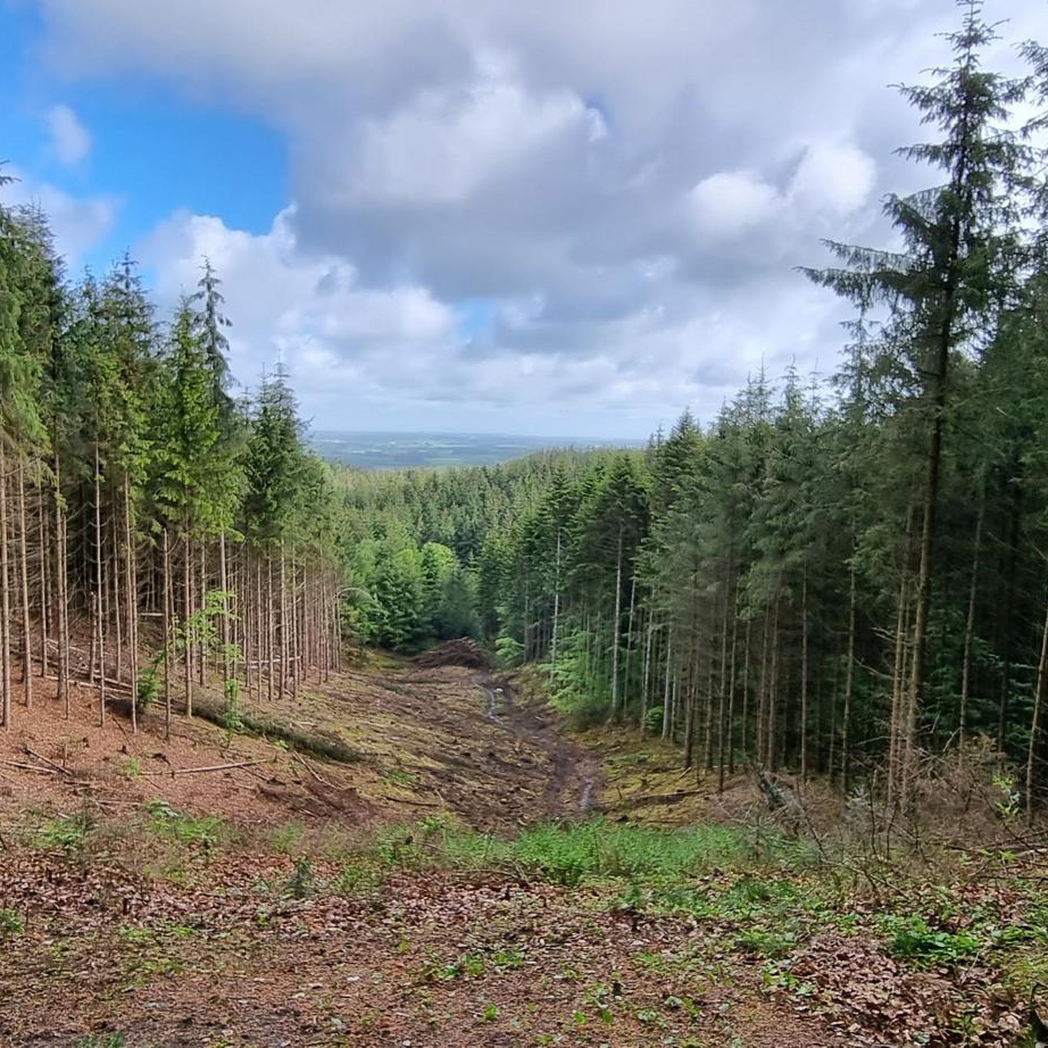
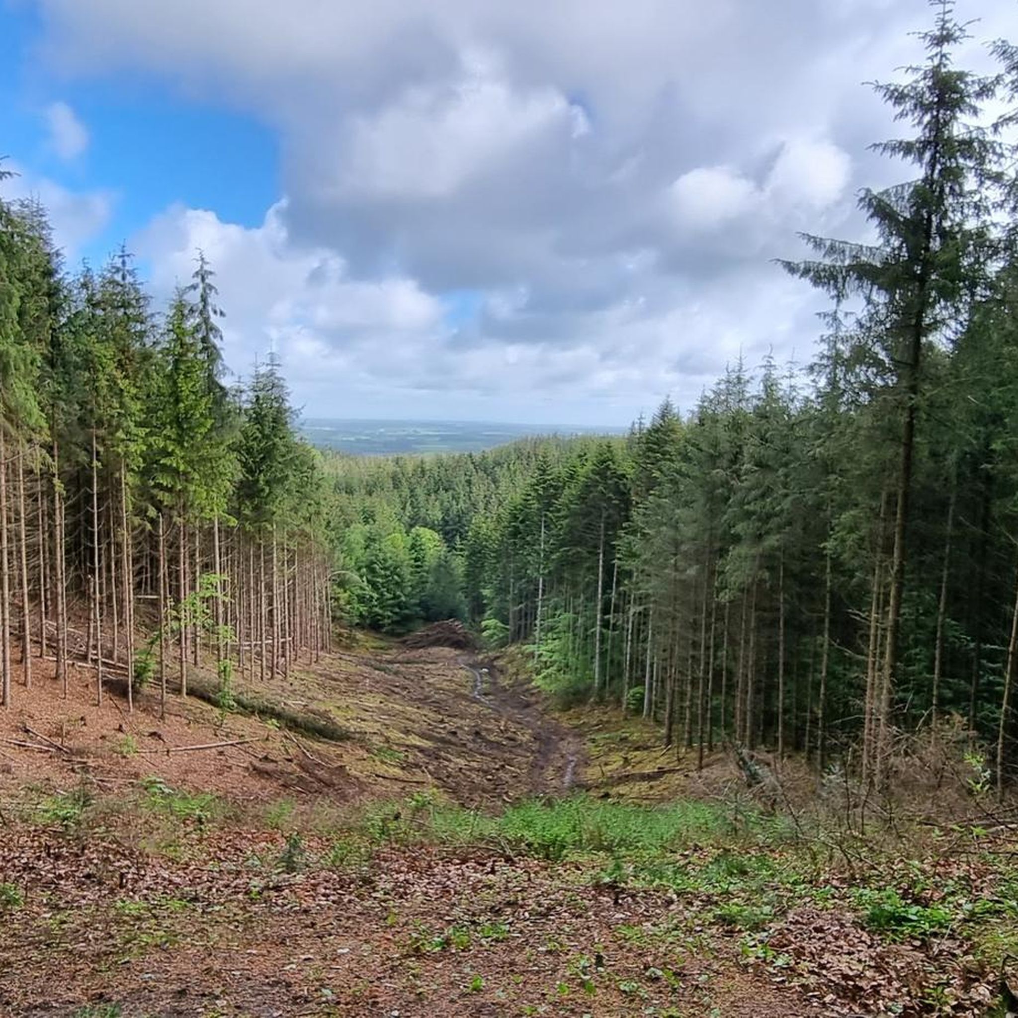
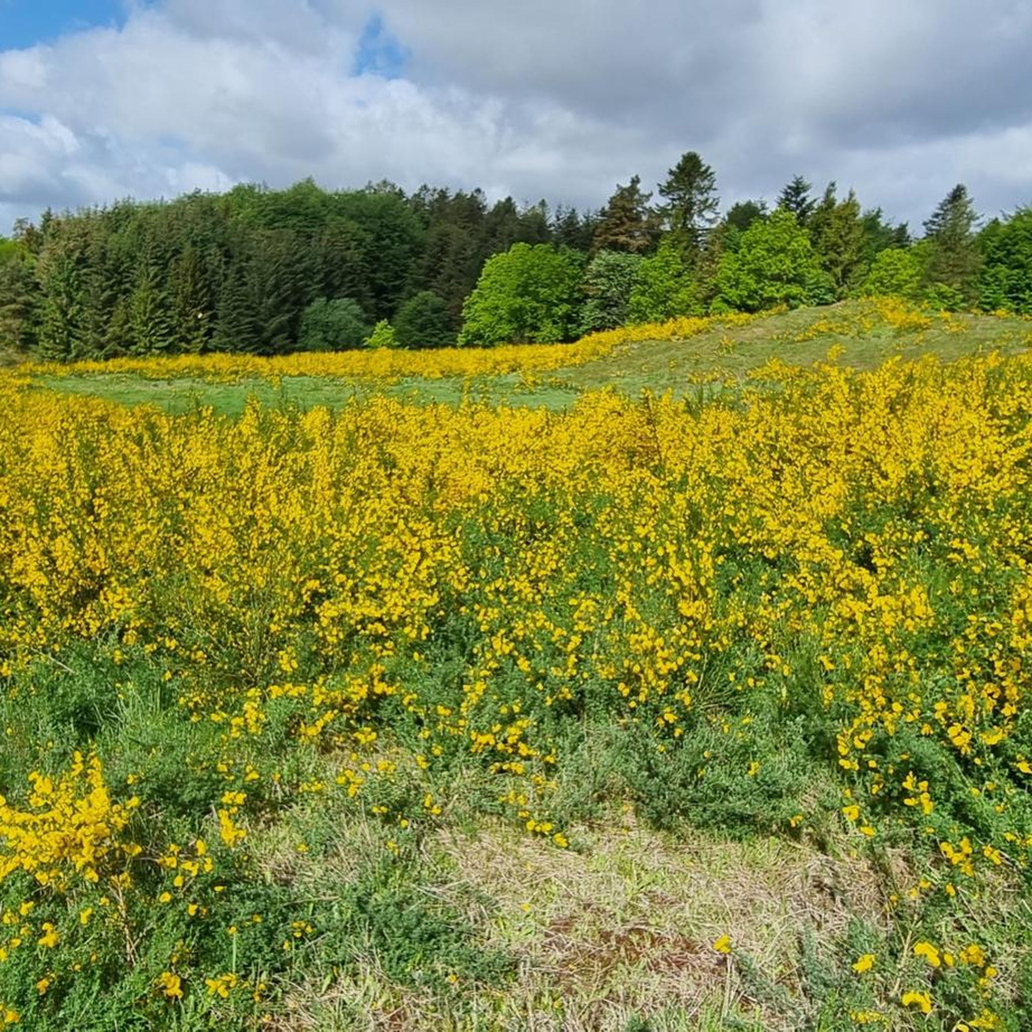
Hiking trails in Dronninglund Storskov traverse a varied landscape shaped by the last ice age, featuring undulating hills and steep slopes. The forest is characterized by a mix of dense coniferous and expansive beech woods, alongside open pastures and wooded hills. Notable natural features include the "mountain range" with Knøsen, Vendsyssel's highest point at 136 meters, and Sømosen, a raised bog with diverse flora and fauna. Elevated points like Fruerhøj offer panoramic views towards the Kattegat sea and Aalborg.
Best hiking trails in Dronninglund Storskov
- The most popular hiking route is Sømosen Lake – Knaghøj Boundary Stone loop from Knøsen, a 6.6 miles (10.6 km) moderate trail that takes 2 hours 51 minutes to complete. This route leads through varied landscapes including the Sømosen bog and hilly terrain.
- Another top favourite among local hikers is Knosen and Knaghøj Monuments – Knaghøj Boundary Stone loop from Knøsen, an easy 3.2 miles (5.1 km) path. This path explores the hilly "mountain range" within the forest, including Knøsen and Knaghøj.
- Local hikers also love the Knaghøj Boundary Stone – Sømosen Lake loop from Knøsen, a 6.3 miles (10.1 km) trail leading through diverse forest and bog landscapes, often completed in about 2 hours 44 minutes.
- Hiking in Dronninglund Storskov is defined by undulating hills, dense forests, and the Sømosen bog. The network of trails offers options for various ability levels, from easy walks to moderate hikes.
- The routes in Dronninglund Storskov are highly rated by the komoot community with an average score of 4.9 stars from over 30 reviews. More than 200 hikers have used komoot to explore Dronninglund Storskov's varied terrain.
Last updated: June 25, 2026
4.7
(6)
24
hikers
10.9km
02:57
150m
150m
Moderate hike. Good fitness required. Easily-accessible paths. Suitable for all skill levels.
4.8
(5)
17
hikers
Easy hike. Great for any fitness level. Easily-accessible paths. Suitable for all skill levels.

Sign up for free
5.0
(5)
12
hikers
10.1km
02:46
150m
160m
Moderate hike. Good fitness required. Easily-accessible paths. Suitable for all skill levels.
5.0
(2)
9
hikers
7.57km
01:59
60m
60m
Easy hike. Great for any fitness level. Easily-accessible paths. Suitable for all skill levels.
5.0
(2)
9
hikers
5.13km
01:22
50m
60m
Easy hike. Great for any fitness level. Easily-accessible paths. Suitable for all skill levels.
Get access to more routes and recommendations from other explorers.
Sign up for free
Already have an account?
Our route recommendations are based on thousands of hikes, rides, and runs completed by other people on komoot.
Start today with a free account
Your next adventure awaits.
Login or Signup
Tips from the Community

Highest point in North Jutland (136m) fifth highest point in Denmark
0
0

At this point, an additional note for film lovers and cinephiles: near Lønstrup is another hotspot of North Jutland's film history, the original filming location of the popular and educationally valuable television series Teletubbies, which is definitely worth a visit with its colorful windmills.
0
0
Well, the title is a bit misleading. There are no memorials or monuments here. On Knøsen, there is a plaque adorned with the crown's coat of arms, which, however, simply prohibits the lighting of fires on the summit and within a 12-meter radius. Otherwise, there are only two old boundary stones here. So far, so unspectacular. However, between the mountains, there is a monument that immediately catches the eye of the connoisseur of cinematography and strikes them like a bolt of lightning. A monolithic, brick stele without any decoration or inscription. Captivating in its utter meaninglessness and lostness in the forest. But it was precisely this magical place that inspired Stanley Kubick, during a vacation in Denmark in the early 1960s, to create his immortal film monument "2001: A Space Odyssey," a story conceived around the monolithic stele. Of course, only the monkeys in the film are the result of artistic license, but a glance over your shoulder for safety in the deep forest is certainly not a bad idea...
0
0
Knaghøj, located just 50 meters from Knøsen, is considered the second-highest mountain in North Jutland. It, too, consists of a Bronze Age burial mound in its upper reaches. You won't find a summit monument here. Only an old, leaning boundary stone adorns the flank. A hiking destination for connoisseurs, true to Goethe's old motto: "You only see what you know."
0
0
Mountain lovers simply can't miss the highest peak in North Jutland. It measures an impressive 136 meters, but the upper 8 meters are not natural but a Bronze Age burial mound that was built here around 1000 BC. At the top stands a stele from 1930 decorated with the royal coat of arms. If Google Translate is to be believed, this isn't a classic summit inscription, but rather a prohibition against lighting fires on the summit or within a 12-meter radius.
1
0
Between the highest mountains in northern Jutland, Knøsen and Knaghøj, a monolithic, brick pillar stands suddenly in the forest. Its apparent senselessness and out-of-placeness so inspired the famous director Stanley Kubrick during a visit to Denmark in the early 1960s that he based the famous film "2001: A Space Odyssey" on the pillar motif. A truly special insider tip for film fans.
0
0
Unfortunately, there's no view from either Knøsen or Knaghøj. However, there's a viewing platform with a view right next to the mountains.
0
0

Frequently Asked Questions
What kind of terrain can I expect when hiking in Dronninglund Storskov?
Dronninglund Storskov features a varied landscape shaped by the last ice age, with undulating hills and steep slopes. You'll find a mix of dense coniferous and expansive beech woods, alongside open pastures and wooded hills. The area is known for its 'mountain range' which includes Knøsen, Vendsyssel's highest point.
Are there any easy or family-friendly hiking trails in Dronninglund Storskov?
Yes, Dronninglund Storskov offers several easy trails suitable for families. For instance, the Knosen and Knaghøj Monuments – Knaghøj Boundary Stone loop from Knøsen is an easy 5.1 km path exploring the hilly 'mountain range'. The Sømoseruten, mentioned in region research, is also described as a relatively easy footpath, ideal for families and those seeking a tranquil walk through varied landscapes of forest, lakes, and open bogs.
What are some notable landmarks or natural features to look out for during a hike?
Hikers can discover several interesting features. The 'mountain range' includes Knøsen – Highest Point in North Jutland, and you can also find the Knaghøj Boundary Stone and Knosen and Knaghøj Monuments. Sømosen, a raised bog, offers a unique natural experience. The Troll Stone, a relic from the ice age, and the Love Beech are also points of interest along some routes.
Are there any trails that offer panoramic views?
Yes, from elevated points like Fruerhøj, hikers are rewarded with panoramic views stretching towards both the Kattegat sea and the city of Aalborg. The Nåleskovsruten, a 5 km blue-marked route, winds over Fruerhøj, offering beautiful vistas.
Can I find circular hiking routes in Dronninglund Storskov?
Absolutely. Many of the trails in Dronninglund Storskov are designed as loops. A popular moderate option is the Sømosen Lake – Knaghøj Boundary Stone loop from Knøsen, which is 10.6 km. Another well-liked choice is the Sømose Forest Walk loop from Tyvelund (Tjaalen), an easy 5.2 km route.
What do other hikers say about Dronninglund Storskov?
The area is highly rated by the komoot community, with an average score of 4.9 stars from over 30 reviews. Hikers often praise the varied terrain, the beautiful mix of forest types, and the well-maintained paths that lead to significant natural features and viewpoints.
Is Dronninglund Storskov suitable for dog walking?
While the guide doesn't explicitly state dog-friendly policies for all trails, Dronninglund Storskov is a natural forest area, and many trails in similar regions allow dogs on a leash. It's always recommended to check local signage at trailheads for specific rules regarding dogs.
What kind of wildlife might I encounter while hiking?
Dronninglund Storskov is home to diverse wildlife. Hikers might spot deer, herons, and various birds of prey, especially in areas like Sømosen, which is a rich habitat for local species.
Are there any facilities like picnic areas along the trails?
Yes, the forest provides facilities such as picnic tables and benches strategically placed along the routes, offering convenient spots for hikers to rest and enjoy a meal amidst nature.
How many hiking routes are there in Dronninglund Storskov?
There are over 15 hiking routes available in Dronninglund Storskov, catering to various preferences and fitness levels, from easy walks to moderate hikes.
Is there a specific trail that covers the 'mountain range' in Dronninglund Storskov?
Yes, the Bøgeskovsruten, a yellow-marked trail, offers options of 3.5 km or 6 km and specifically takes hikers through the dense beech forest and hilly terrain of the 'mountain range', including Knøsen, Knaghøj, and Sørensens Bakke.
Where can I find information about the 'Enchanted Hill'?
The 'Enchanted Hill' (Forheksede Bakke) is a unique phenomenon located at Storskovvej 14-18, where water appears to flow uphill. While not a specific hiking trail, it's an intriguing experience to seek out, especially for those exploring the area by bike.
Most popular routes in Dronninglund Storskov
Most popular attractions in Dronninglund Storskov

Get inspired with the komoot mobile app


Explore more
Browse the best Hikes in other regions.
