The best running trails in Belair National Park
5.0
(3)
864
runners
19
runs
Jogging in Belair National Park offers diverse landscapes for outdoor activity, located just 25 minutes from Adelaide's city center. The park features open grasslands, native woodlands, serene lakes, and picturesque waterfalls, providing varied terrain for runners. It is characterized by natural bushland, including ancient Grey Box Grassy Woodland with red and blue gums, and serves as a refuge for native animals. The extensive trail network caters to various fitness levels, with routes traversing hills and valleys.
Best jogging routes in Belair National Park
- The most popular jogging route is Upper Waterfall – Lower Waterfall loop from Belair, a 7.5 miles (12.0 km) trail that takes about 1 hour 25 minutes to complete. This difficult route explores the park's scenic waterfalls and escarpments.
- Another top favourite among local runners is Running loop from City of Mitcham, a moderate 8.3 miles (13.4 km) path. This route winds through varied terrain, including woodlands and open areas, offering views of the park's natural beauty.
- Local runners also love the Running loop from Belair, a 3.1 miles (5.0 km) trail leading through native woodlands, often completed in about 35 minutes.
- Jogging in Belair National Park is defined by native woodlands, open grasslands, and serene lakes. The network offers options for different ability levels, from easier paths to more challenging trails with elevation changes.
- The routes in Belair National Park are highly rated by the komoot community with an average score of 4.9 stars from over 13 reviews. More than 1500 runners have used komoot to explore Belair National Park's varied terrain.
Last updated: July 4, 2026
55
runners
13.7km
01:36
310m
310m
Hard run. Very good fitness required. Mostly paved surfaces. Suitable for all skill levels.
38
runners
10.3km
01:12
140m
140m
Moderate run. Good fitness required. Mostly paved surfaces. Suitable for all skill levels.

Sign up for free
29
runners
14.8km
01:46
260m
260m
Moderate run. Good fitness required. Mostly paved surfaces. Suitable for all skill levels.
20
runners
5.01km
00:36
60m
60m
Moderate run. Good fitness required. Mostly paved surfaces. Suitable for all skill levels.
34
runners
26.2km
03:19
700m
700m
Hard run. Very good fitness required. Sure-footedness, sturdy shoes and alpine experience required.
Get access to more routes and recommendations from other explorers.
Sign up for free
Already have an account?
Our route recommendations are based on thousands of hikes, rides, and runs completed by other people on komoot.
Start today with a free account
Your next adventure awaits.
Login or Signup

Tips from the Community

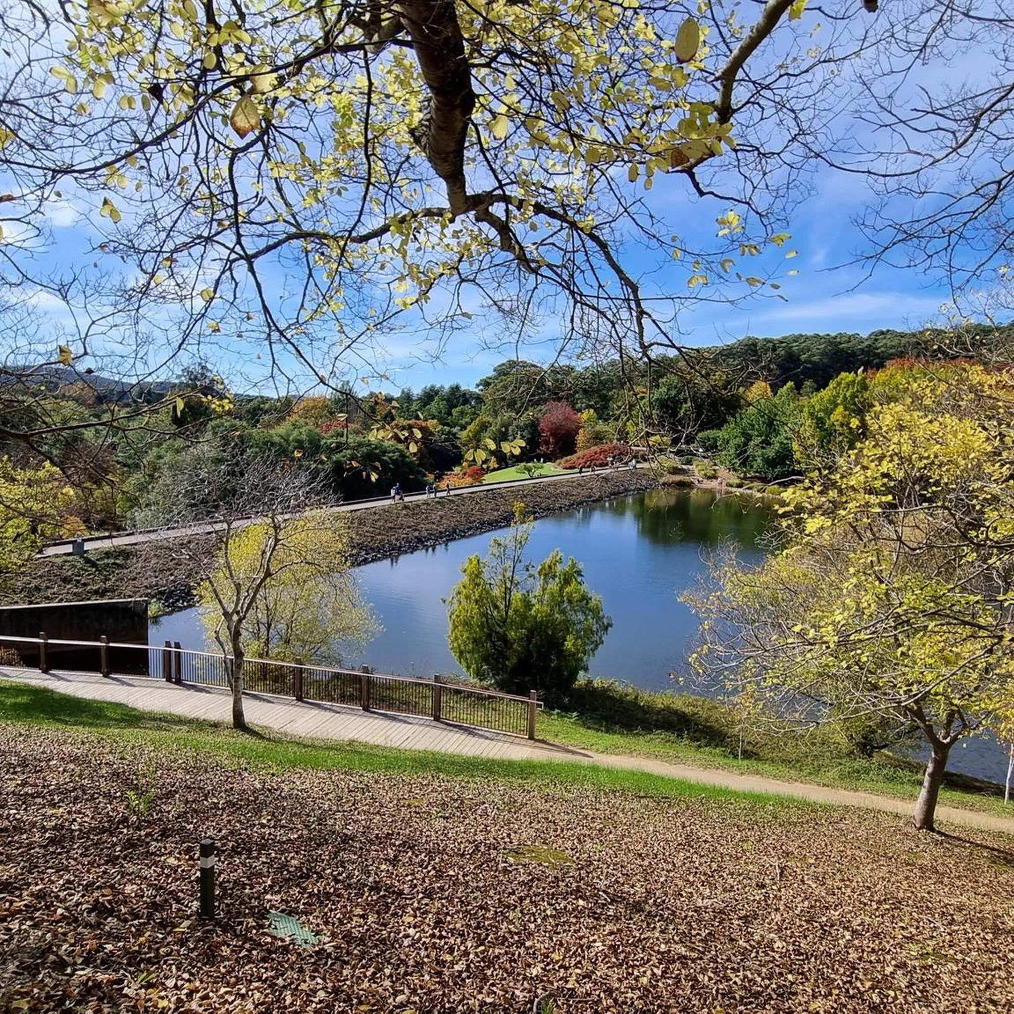
Brownhill Creek Road follows the heart of the valley through towering River Red Gums, historic picnic grounds, and some of the oldest recreation areas in the Adelaide foothills. Along the road you’ll pass the huge hollow “Monarch of the Glen” gum tree, old quarry sites, and sections of creek that were once dammed for public swimming in the late 1800s. The road stays close to the creek for much of the valley, with walking trails, wildlife, and shaded picnic spots scattered throughout the reserve.
0
0

Upper Waterfall is a seasonal cascade that typically flows after significant rainfall, spilling over rocky ledges surrounded by stringybark forest and native undergrowth. There is plenty of shade here, making this a great spot for a scenic break, especially after rain when the water is running.
0
0

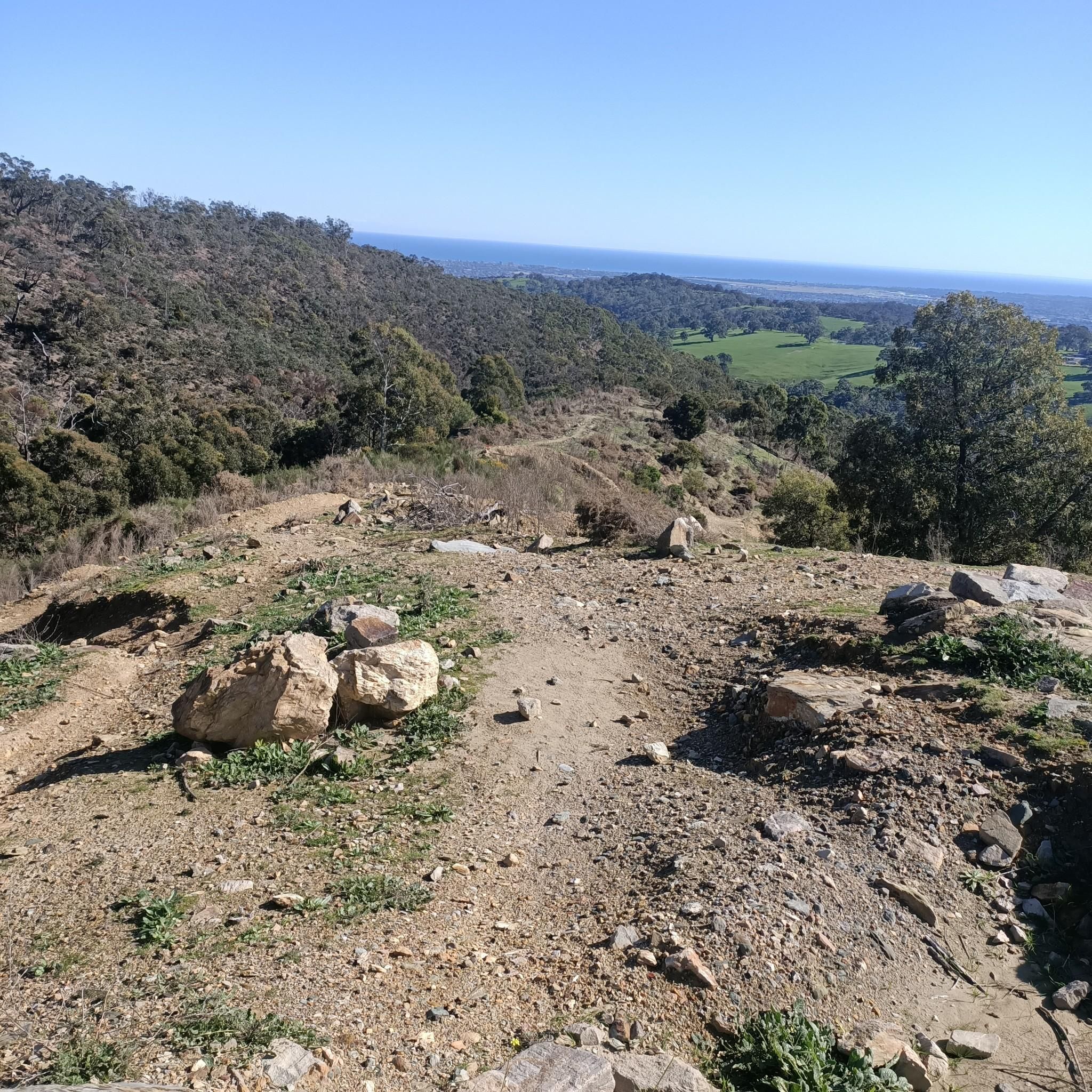
Scenic. Very nice lookout point with easy walking access. Water is very seasonal.
1
0
Frequently Asked Questions
How many running routes are available in Belair National Park?
Belair National Park offers a comprehensive network of over 20 running routes, catering to various fitness levels. You'll find everything from easier paths to more challenging trails with significant elevation changes, ensuring a diverse experience for every runner.
Are there any family-friendly jogging trails in Belair National Park?
Yes, Belair National Park has several trails suitable for families. The park features wide gravel surfaces and less strenuous paths. For a shorter, moderate option, consider the Running loop from Belair, which is 5.0 km and takes about 35 minutes, winding through native woodlands. The park also has an Adventure Playground and picnic areas, making it a great destination for a family outing.
What kind of natural features can I expect to see while running in Belair National Park?
Belair National Park is rich in natural beauty. Runners can experience diverse landscapes including open grasslands, native woodlands with ancient Grey Box Grassy Woodland and majestic red and blue gums, serene lakes like Playford Lake, and picturesque waterfalls. You might also encounter unique geological formations such as the cave-like Amphitheatre Rock and a variety of native flora and fauna.
Are there any routes that feature waterfalls in Belair National Park?
Absolutely! The park is known for its scenic waterfalls. A popular and challenging option is the Upper Waterfall – Lower Waterfall loop from Belair. This 12.0 km difficult route takes you through the park's scenic waterfalls and rock escarpments, offering a rewarding experience for trail runners.
What do other runners think about the trails in Belair National Park?
The running routes in Belair National Park are highly regarded by the komoot community, boasting an impressive average rating of 4.9 stars from over 13 reviews. More than 1500 runners have explored the park's varied terrain, often praising its natural beauty, diverse landscapes, and well-maintained trails.
Are there any longer, more challenging running routes for experienced trail runners?
Yes, for experienced trail runners seeking a challenge, Belair National Park offers several difficult routes. The Railway Dam – Playford Lake loop from Brownhill Creek Recreation Park is a demanding 15.0 km route with significant elevation changes. Another option is the Upper Waterfall – Lower Waterfall loop from Belair, a 12.0 km difficult trail exploring the park's scenic waterfalls.
Can I find circular running routes in Belair National Park?
Many of the running routes in Belair National Park are designed as loops, providing convenient circular journeys. Examples include the Running loop from City of Mitcham, a moderate 13.4 km path, and the Railway Dam loop from Blackwood Forest Recreation Park, a moderate 11.0 km route. These loops allow you to start and finish at the same point without retracing your steps.
What historical landmarks can I see while jogging in the park?
Belair National Park is home to significant historical sites. You can jog past Old Government House, which served as the summer residence for South Australia's early governors, surrounded by beautiful heritage gardens. The park also features State Flora, South Australia's oldest plant nursery, and remnants of a Japanese cherry plantation, adding a historical dimension to your run.
Is Belair National Park accessible by public transport?
Belair National Park is conveniently located just 25 minutes from Adelaide's city center. While specific public transport routes directly into the park for jogging access may vary, it is generally well-connected to the surrounding areas, making it accessible for visitors from Adelaide. For detailed public transport information, it's best to consult local transport schedules.
Are there any easy or beginner-friendly jogging routes in Belair National Park?
Yes, Belair National Park offers routes suitable for beginners or those looking for an easier run. While most routes are moderate, there is at least one easy route available. The park's extensive trail network includes paths with wide gravel surfaces and gentler gradients, perfect for a relaxed jog. The Running loop from Belair is a moderate 5.0 km option that is relatively short and passes through pleasant woodlands.
What kind of wildlife might I encounter while running in Belair National Park?
Belair National Park is a vital refuge for native animals, offering frequent opportunities for wildlife spotting. While jogging, you might encounter Western Grey Kangaroos, Koalas, Short-beaked Echidnas, Brushtail and Ringtail Possums, Emus, and a variety of bird species like lorikeets and rosellas. It's a great place to combine your run with nature observation.
Where can I find parking for the jogging routes in Belair National Park?
Belair National Park provides various designated parking areas throughout the park, making it convenient to access different trailheads. Popular spots like Long Gully and Pines picnic areas offer ample parking. For specific route access, it's advisable to check the park's official maps or visitor information for the most suitable parking locations near your chosen running trail.
Most popular routes in Belair National Park
Most popular attractions in Belair National Park

Get inspired with the komoot mobile app


Explore more
Browse the best Running Trails & Routes in other regions.
