The best cycling routes around Gnarrenburg
4.4
(477)
1,883
riders
148
rides
Touring cycling around Gnarrenburg features a diverse landscape situated between the Wümme and Oste rivers, characterized by expansive moorland, green forests, and serene lakes. The region's terrain is predominantly flat to gently rolling, making it accessible for various cycling preferences. Notable natural features include the Huvenhoopsmoor and the Oste-Hamme-Kanal, offering unique natural experiences. This area provides a well-developed cycling infrastructure for exploring its distinctive habitats.
Best touring cycling routes around Gnarrenburg
- The most popular touring cycling route is Vörder Lake…
Last updated: October 11, 2026
4.6
(61)
170
riders
51.9km
03:19
120m
120m
Moderate bike ride. Good fitness required. Mostly paved surfaces. Suitable for all skill levels.
4.3
(23)
78
riders
46.7km
02:54
70m
70m
Moderate bike ride. Good fitness required. Mostly paved surfaces. Suitable for all skill levels.

4.7
(18)
70
riders
39.8km
02:21
100m
100m
Moderate bike ride. Good fitness required. Mostly paved surfaces. Suitable for all skill levels.
4.3
(15)
72
riders
Easy bike ride. Great for any fitness level. Mostly paved surfaces. Suitable for all skill levels.
4.5
(8)
34
riders
30.9km
01:51
50m
50m
Easy bike ride. Great for any fitness level. Mostly paved surfaces. Suitable for all skill levels.
Get access to more routes and recommendations from other explorers.
Already have an account?
Our route recommendations are based on thousands of hikes, rides, and runs completed by other people on komoot.
Start today with a free account
Your next adventure awaits.
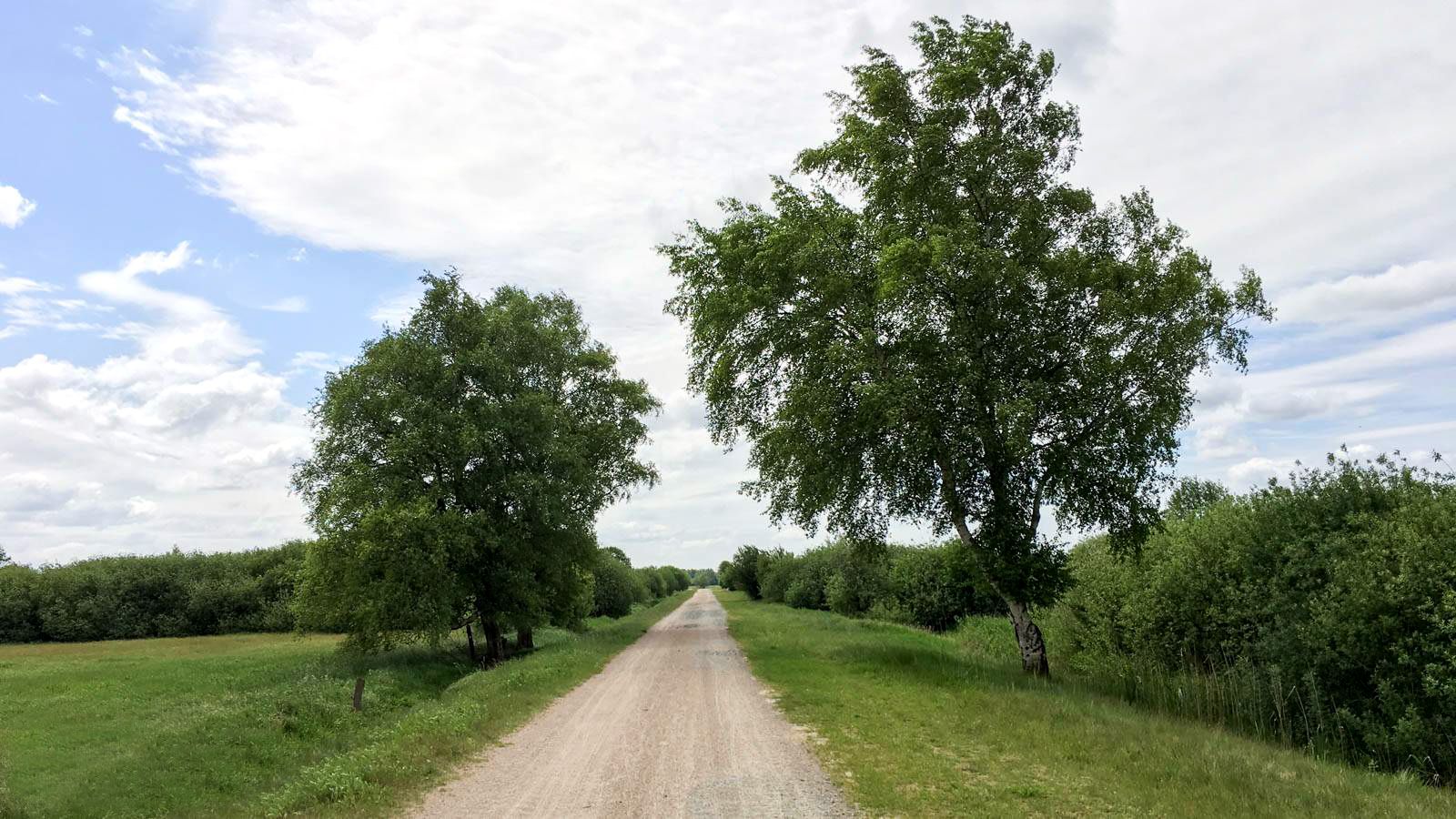
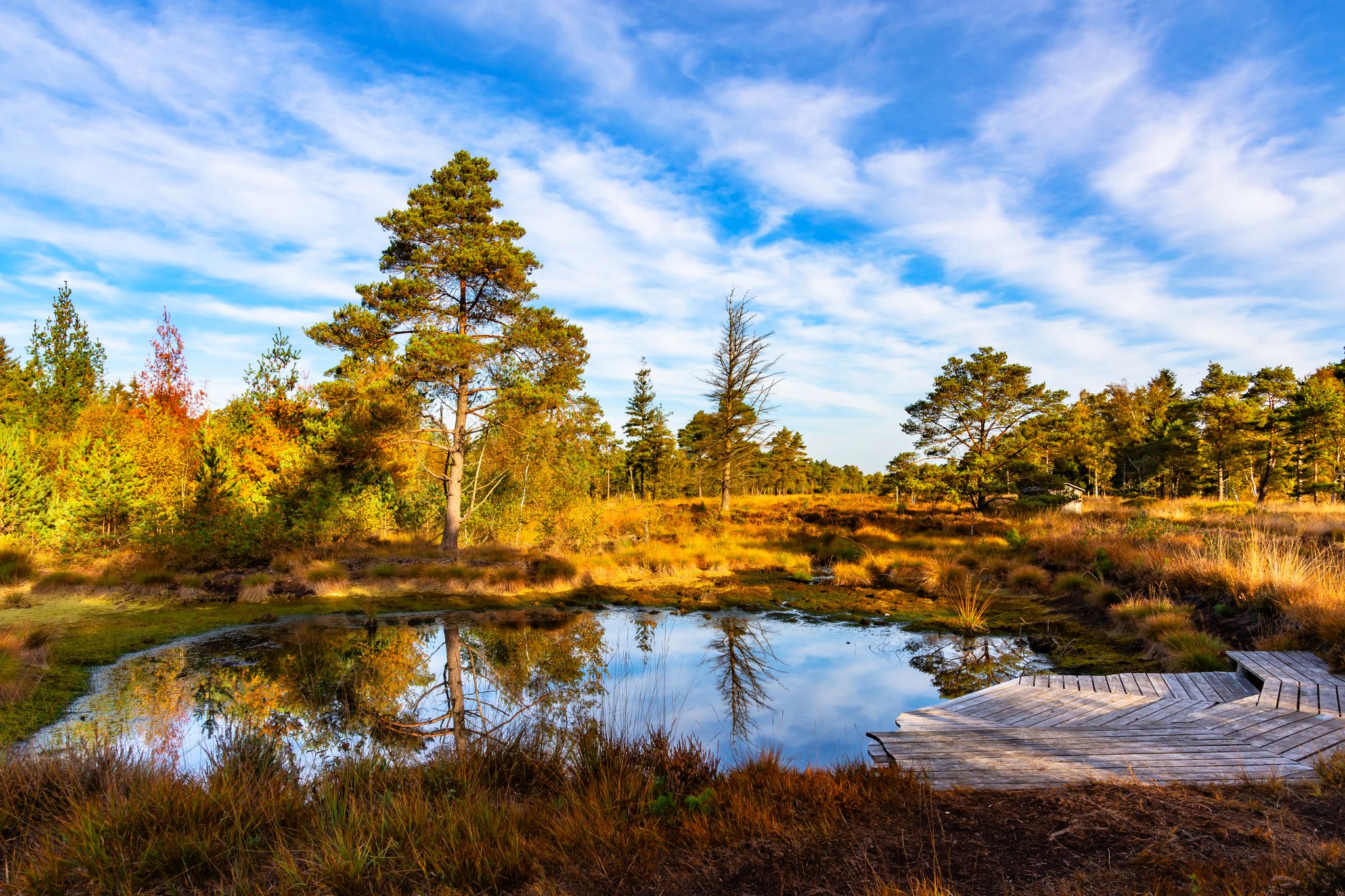
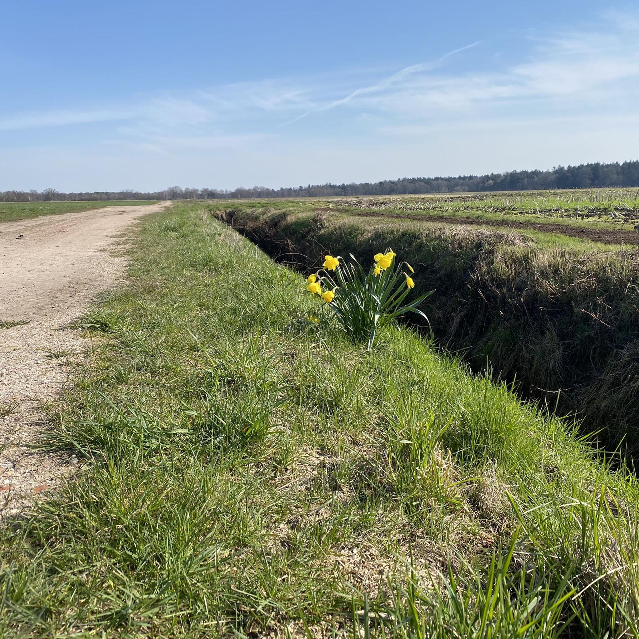
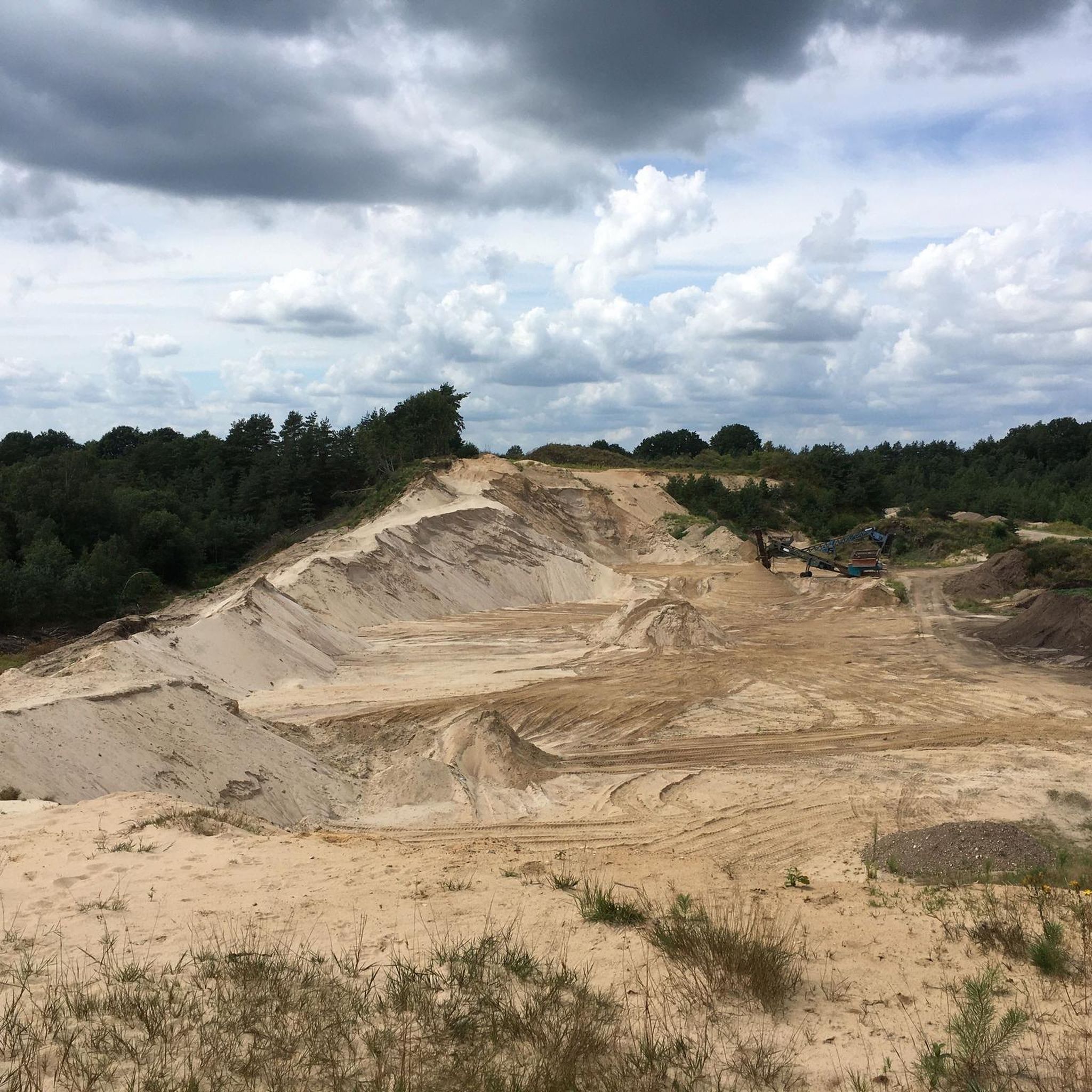



Tips from the Community

Always an experience when you see this canal
0
0
Definitely worth seeing, check the opening hours, but it's worth it.
0
0
Great place to take a break or to go on the nature trail. There is also a toilet there.
0
0

It's always beautiful to walk here 🤗. Whether as a hiker, walker, or cyclist, it's wonderful here. Taking a seat on an offered bench is absolutely recommended. And just look at the water and relax.
1
0

Drive through Klenkendorf... direction Brillit... then left through Langennhausen follow the canal... Middle Langennhausen turn left towards Augustendorf and follow the Augustendorfer Kanal..... there are only 2 curves. From the first curve Augustendorf begins.... then just drive straight through... On Sundays maybe look at the Moorhof and pick up butter cake in the pub? ;-) At the top of the second curve is the Moorpad and the Huvenhoopsee. ... still... it's getting smaller and smaller, unfortunately. Then a little back and from the direction of the lake turn right Direction Heinrichsdorf / Sandbostel. In Heinrichsdorf behind the large seating area ... either left into the well-developed field path and at the end at the intersection Klenkendorf/Fahrendorf/Langenhausen come out again... or drive through to before Sandbostel... Turn left direction Minstedt... in Minstedt maybe eat cake in the pub? and then continue to the intersection corner Klenkendorf - where it began.... nice little round tour :-)
0
0

Paulus Church Gnarrenburg, also called Findorff Church
0
0
Oste-Hamme-Kanal, protected, cultural-historical structure
0
0
Frequently Asked Questions
How many touring cycling routes are available in Gnarrenburg?
There are over 140 touring cycling routes mapped in Gnarrenburg, offering a wide variety of options for different preferences and fitness levels. This includes 94 easy routes, 35 moderate routes, and 17 more challenging options.
What is the typical terrain like for touring cycling in Gnarrenburg?
The terrain around Gnarrenburg is generally flat to gently rolling, making it accessible for many cyclists. You'll find a mix of paved roads, quiet tracks, and dedicated cycleways, often passing through expansive moorlands and alongside tranquil canals like the Oste-Hamme-Kanal. The region is characterized by its natural variety, situated between the Wümme and Oste rivers.
Are there routes suitable for beginners or families in Gnarrenburg?
Yes, Gnarrenburg is an excellent destination for recreational cyclists and families due to its predominantly flat to gently rolling terrain. There are 94 easy routes available, perfect for a relaxed ride. One such route is the Gnarrenburg Glass Museum – Paulus Church Gnarrenburg loop from Gnarrenburg, an easy 19.4 km path that takes you through local sights.
What kind of natural features can I expect to see while cycling in Gnarrenburg?
While cycling in Gnarrenburg, you'll encounter diverse natural features, including expansive moorlands like the Huvenhoopsmoor, serene lakes such as Vörder Lake, and tranquil canals like the Oste-Hamme-Kanal. The region is also surrounded by green forests, offering unique natural experiences and opportunities to appreciate local flora and fauna. You might also pass by the Teufelsmoor Village and Nature Trail.
What do other cyclists say about the routes in Gnarrenburg?
The touring cycling routes in Gnarrenburg are highly rated by the komoot community, with an average score of 4.5 stars from over 370 reviews. Cyclists often praise the diverse scenery, the well-developed cycling infrastructure, and the peaceful rides through moorland and along canals.
Are there any circular touring cycling routes in the area?
Yes, many of the touring cycling routes in Gnarrenburg are designed as loops, allowing you to start and end at the same point. A popular example is the Vörder Lake – View of Vörde Lake loop from Gnarrenburg, which offers scenic views over Vörder Lake.
Can I bring my dog on the touring cycling routes in Gnarrenburg?
While many outdoor areas in Gnarrenburg are dog-friendly, it's always best to check local regulations for specific nature reserves or protected moorlands you plan to cycle through. Generally, dogs on a leash are welcome on public paths, but please be mindful of wildlife and other cyclists.
Where can I find places to eat or rest along the cycling paths?
The cycling paths in Gnarrenburg often lead through or near villages where you can find cafes, pubs, and restaurants. The region's focus on tourism means there are various spots for breaks. For example, the Oste-Hamme Canal – Gasthaus Zur Kreuzkuhle loop from Gnarrenburg passes by local establishments where you can refuel.
What are some cultural or historical points of interest I can visit while cycling?
Gnarrenburg offers several cultural and historical stops along its routes. You can visit the imposing Paulus-Kirche in central Gnarrenburg, or explore the Historischer Moorhof Augustendorf for insights into 19th-century moor farming. The "Torf- und Glas-Route" specifically highlights the region's peat extraction and glass production history, leading to sites like the Moorerlebnispfad in Augustendorf.
Is public transport available to access the cycling routes in Gnarrenburg?
Gnarrenburg is part of Lower Saxony's regional transport network. While specific public transport options directly to every trailhead might vary, regional buses often connect the main towns and villages, making it possible to reach starting points for many cycling routes. It's advisable to check local bus schedules for routes that accommodate bicycles.
Where can I park my car when starting a cycling tour in Gnarrenburg?
Parking is generally available in the main town of Gnarrenburg and in many of the smaller villages that serve as starting points for cycling routes. Look for designated parking areas near town centers or trailheads. For example, if you're starting a loop from Gnarrenburg, you'll find parking options within the town.
What is the best time of year to go touring cycling in Gnarrenburg?
The best time for touring cycling in Gnarrenburg is typically from spring through early autumn (April to October). During these months, the weather is generally mild and pleasant, and the natural landscapes, especially the moorlands, are at their most vibrant. The flat terrain makes it enjoyable even on warmer days, and the cycling infrastructure is well-maintained for seasonal use.
Are there any long-distance cycling paths that pass through Gnarrenburg?
Yes, Gnarrenburg is a part of the "Vom Teufelsmoor zum Wattenmeer" long-distance cycle path. This extensive 450 km route emphasizes natural experiences between the North Sea, Elbe, and Weser rivers, guiding cyclists past significant local landmarks like the idyllic Torfschiffhafen (peat barge harbor) in Gnarrenburg.
Most popular routes around Gnarrenburg
Most popular attractions around Gnarrenburg

Get inspired with the komoot mobile app


Explore more
Browse the best Cycling routes in other regions.
