The best road cycling routes in Fryers Ridge State Forest
5.0
(1)
218
riders
24
rides
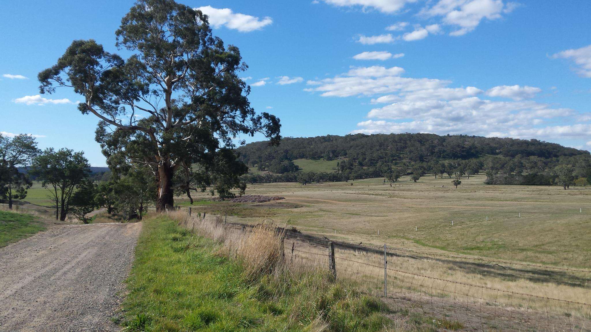
Road cycling routes in Fryers Ridge State Forest navigate a landscape characterized by undulating ridges and scenic woodlands, offering a blend of natural beauty and diverse terrain. The area features ancient Ordovician slate geology, contributing to a varied ecosystem with active birdlife and native wildlife. While some tracks were originally for emergency vehicles, many now provide mostly paved surfaces suitable for road cycling, allowing exploration of the forest's tranquil beauty. The network includes routes with varying difficulty levels and elevation…
Last updated: July 10, 2026
12
riders
31.6km
01:23
250m
250m
Easy road ride. Great for any fitness level. Mostly well-paved surfaces and easy to ride.
5
riders
59.7km
02:55
830m
830m
Moderate road ride. Good fitness required. Some segments of this route may be unpaved and difficult to ride.

Sign up for free
15
riders
25.4km
01:12
280m
280m
Moderate road ride. Great for any fitness level. Some segments of this route may be unpaved and difficult to ride.
15
riders
31.6km
01:28
340m
340m
Moderate road ride. Good fitness required. Some segments of this route may be unpaved and difficult to ride.
13
riders
40.9km
02:03
580m
580m
Moderate road ride. Good fitness required. Some segments of this route may be unpaved and difficult to ride.
Get access to more routes and recommendations from other explorers.
Sign up for free
Already have an account?
Our route recommendations are based on thousands of hikes, rides, and runs completed by other people on komoot.
Start today with a free account
Your next adventure awaits.
Login or Signup
Frequently Asked Questions
How many road cycling routes are available in Fryers Ridge State Forest?
Fryers Ridge State Forest offers a diverse network of over 25 road cycling routes. These routes cater to various skill levels, with 3 easy, 22 moderate, and 1 difficult option available for exploration.
What kind of terrain can I expect on road cycling routes in Fryers Ridge State Forest?
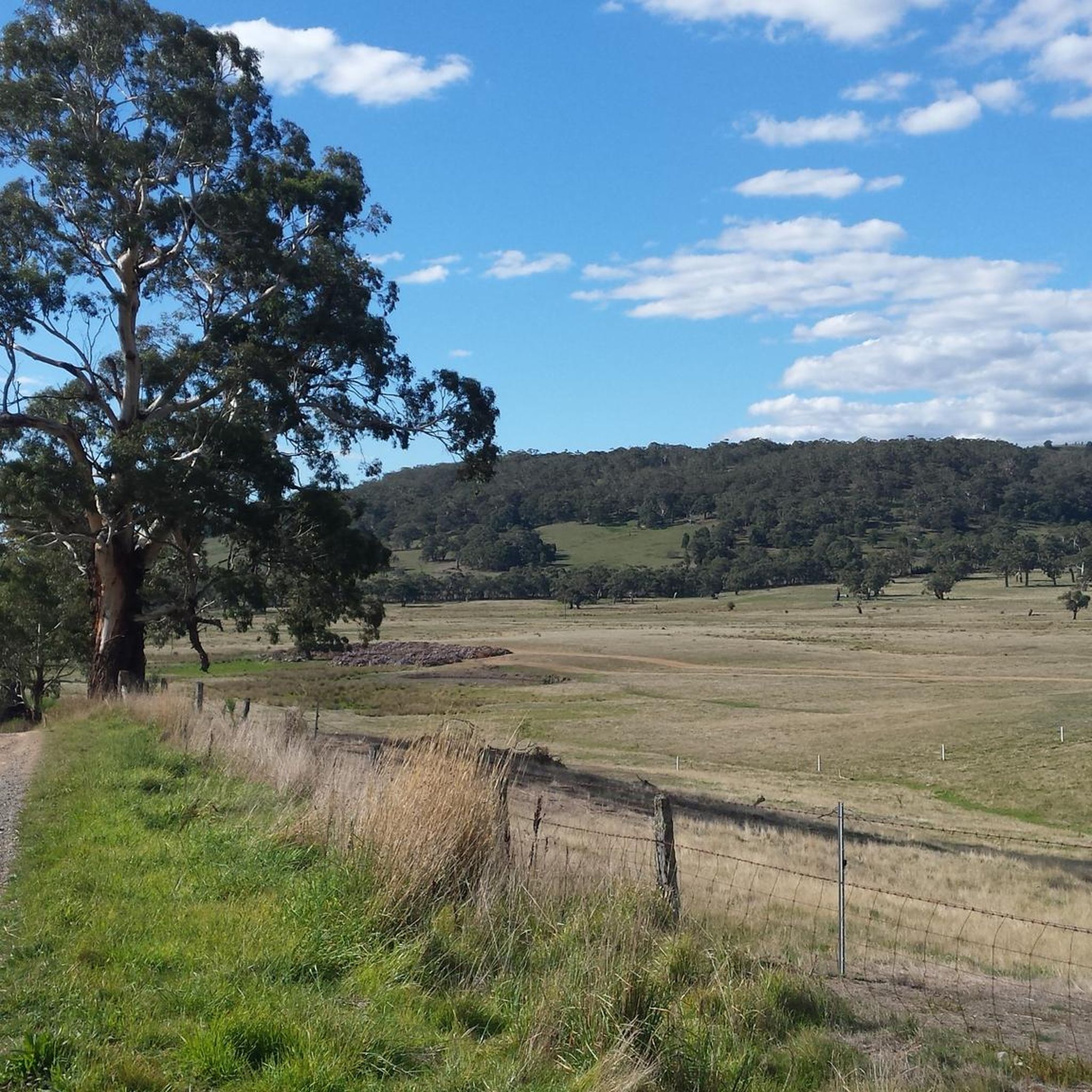
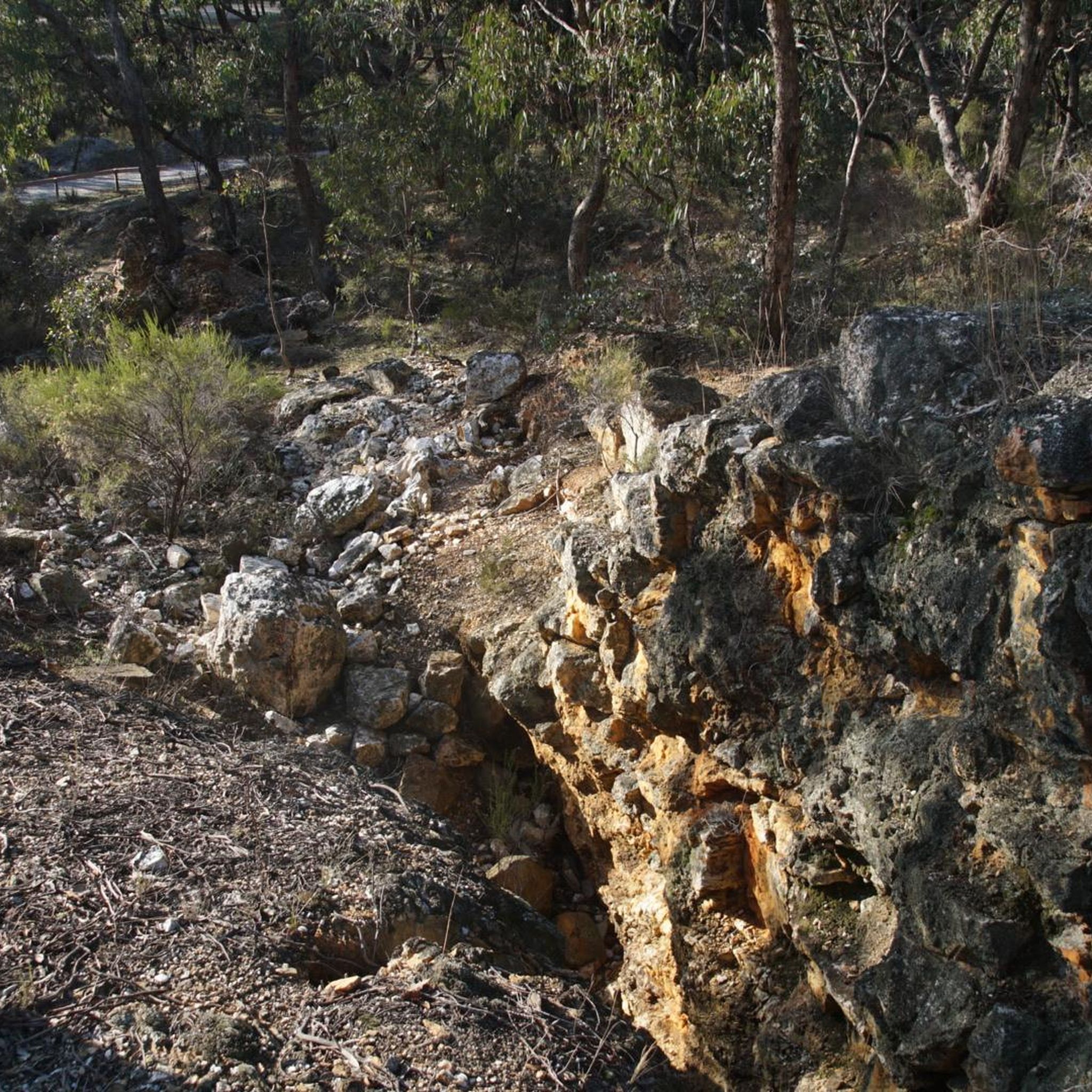
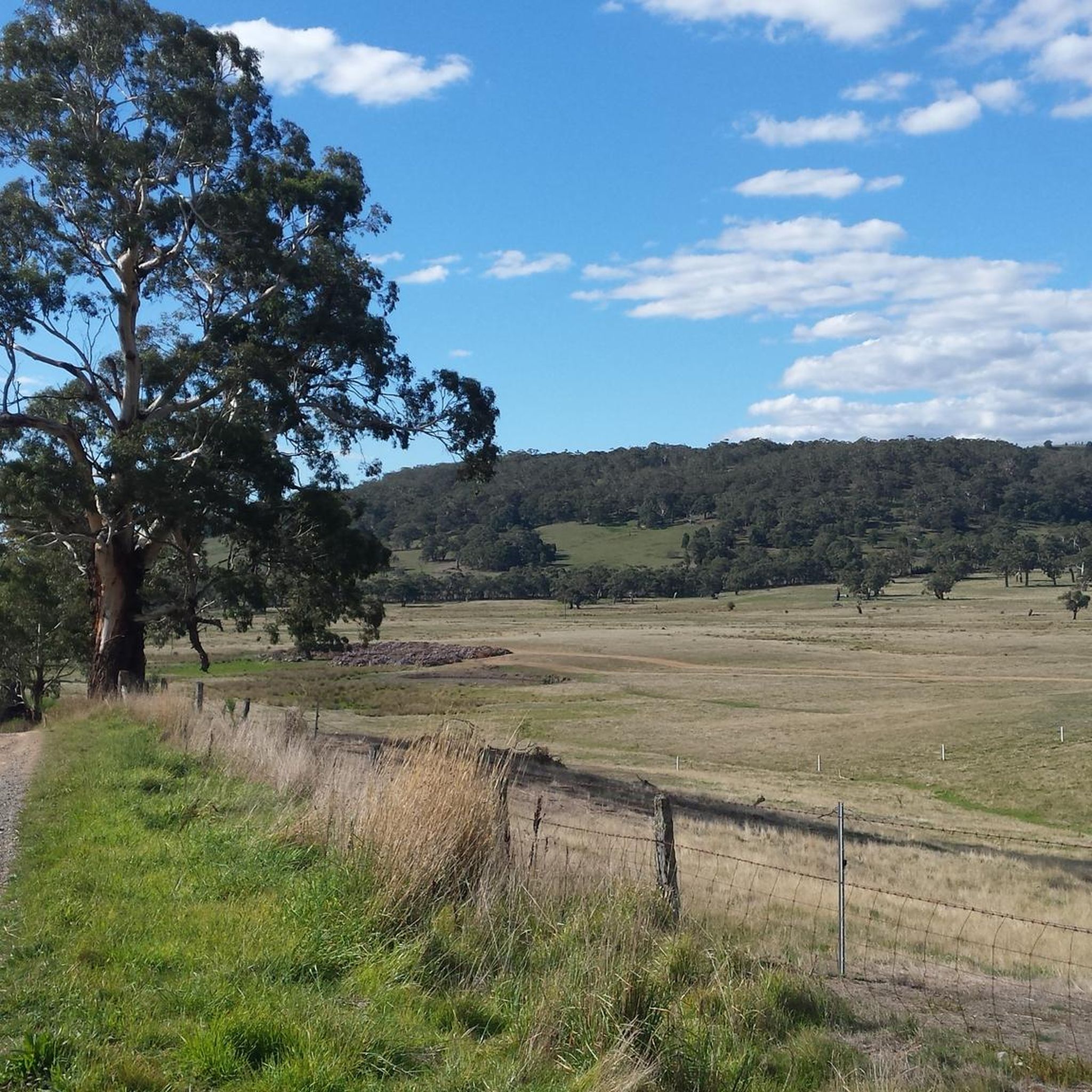
The terrain in Fryers Ridge State Forest is characterized by undulating ridges and scenic woodlands. While many tracks were originally for emergency vehicles, a significant portion now features mostly paved surfaces suitable for road cycling. You'll encounter varied landscapes, from tranquil forest sections to areas with ancient Ordovician slate geology.
Are there any easy road cycling routes suitable for beginners in Fryers Ridge State Forest?
Yes, there are several easy road cycling routes. A great option for beginners is the Lake Joanna – Wesley Hill loop from Shire of Mount Alexander. This route covers 31.6 km (19.6 miles) with minimal elevation gain, offering a pleasant ride through the forest's varied landscape in about 1 hour 22 minutes.
What are some of the natural features and landmarks I might see while cycling in Fryers Ridge State Forest?
As you cycle through Fryers Ridge State Forest, you can expect to see scenic woodlands, diverse ecosystems, and active birdlife. The area is known for its undulating ridges and ancient Ordovician slate geology. You might also spot native wildlife such as wallabies and kangaroos. From June to December, the forest is particularly beautiful with spectacular wildflower displays. Historically significant areas like "The Junction," an old Indigenous pathway and gold rush route, also offer glimpses into the past.
Are there any challenging road cycling routes for experienced riders?
Yes, for experienced riders seeking a challenge, Fryers Ridge State Forest offers routes with significant elevation gain. One such route is the Mount Alexander – Chewton H86 Bushland Reserve loop from Taradale. This moderate 59.7 km (37.1 miles) path involves substantial climbing, providing a longer and more demanding experience through diverse forest terrain.
What is the best time of year to go road cycling in Fryers Ridge State Forest?
The Fryers Ridge State Forest offers a rewarding experience throughout much of the year. For nature lovers, the period from June to December is particularly appealing due to the spectacular wildflower displays. However, the remote, winding roads and tranquil beauty can be enjoyed in most seasons, with varying conditions.
Are there any circular road cycling routes in Fryers Ridge State Forest?
Yes, many of the routes in Fryers Ridge State Forest are designed as loops, allowing for a continuous cycling experience. Examples include the Lake Joanna – Wesley Hill loop from Shire of Mount Alexander and the Breakneck Hill – Fryers Creek Water Frontage loop from Castlemaine, which leads through scenic woodlands and along Fryers Creek.
What do other road cyclists enjoy most about cycling in Fryers Ridge State Forest?
The area is highly rated by the komoot community, with an average score of 5.0 stars. Reviewers often praise the tranquil beauty of the forest, the diverse terrain, and the blend of natural scenery with historical elements. The variety of routes, from easy to challenging, also contributes to its popularity among cyclists.
Where are the main access points for road cycling in Fryers Ridge State Forest?
Key access points into Fryers Ridge State Forest include Fryerstown Road, Cypress Drive, and Dearden Creek Track. These points facilitate entry into the reserve, allowing cyclists to begin their exploration of the forest's network of roads and tracks.
Can you recommend a moderate road cycling route that explores different parts of the forest?
For a moderate ride that showcases varied forest landscapes, consider the Red Hill – Fryers Creek Water Frontage loop from Castlemaine. This 31.6 km (19.6 miles) route takes approximately 1 hour 28 minutes and offers a good balance of distance and elevation through scenic woodlands and along the Fryers Creek Water Frontage.
Are there any longer road cycling routes for endurance training in the area?
Yes, for longer rides, the Wesley Hill – Nathans Hill loop from Castlemaine is an excellent choice. This route spans 58 km (36 miles) and involves over 500 meters of elevation gain, making it suitable for endurance training and longer excursions through the region.
Most popular routes in Fryers Ridge State Forest

Get inspired with the komoot mobile app


Explore more
Browse the best Road cycling routes in other regions.
