
The best running trails in Mount Canobolas State Conservation Area
57
runners
6
runs
Jogging in Mount Canobolas State Conservation Area offers a diverse and engaging landscape, shaped by its origins as a dormant volcano. The terrain features distinctive geological formations, including peaks and undulating paths, providing varied challenges for runners. This area, the highest point in central-west New South Wales, supports a rich ecosystem with diverse flora and fauna, thriving in the high altitude and cool climate. Joggers can experience a mix of snow gum subalpine woodland, grassy woodlands, and rocky outcrops, with…
Last updated: July 10, 2026
7
runners
23.1km
03:05
670m
670m
Hard run. Very good fitness required. Mostly paved surfaces. Suitable for all skill levels.
5
runners
42.3km
05:31
1,150m
1,150m
Hard run. Very good fitness required. Mostly paved surfaces. Suitable for all skill levels.

Sign up for free
5
runners
Hard run. Very good fitness required. Mostly accessible paths. Some sure footedness required.
14
runners
6.20km
00:39
50m
50m
Moderate run. Good fitness required. Mostly paved surfaces. Suitable for all skill levels.
3
runners
6.02km
00:38
50m
50m
Moderate run. Good fitness required. Mostly paved surfaces. Suitable for all skill levels.
Our route recommendations are based on thousands of hikes, rides, and runs completed by other people on komoot.
Start today with a free account
Your next adventure awaits.
Login or Signup
Popular around Mount Canobolas State Conservation Area

Frequently Asked Questions
How many running routes are available in Mount Canobolas State Conservation Area?
There are currently 6 dedicated running routes mapped in the Mount Canobolas State Conservation Area on komoot. These routes cater to various fitness levels, from moderate loops to more challenging trails with significant elevation gain.
What kind of terrain can I expect on the jogging trails in Mount Canobolas?
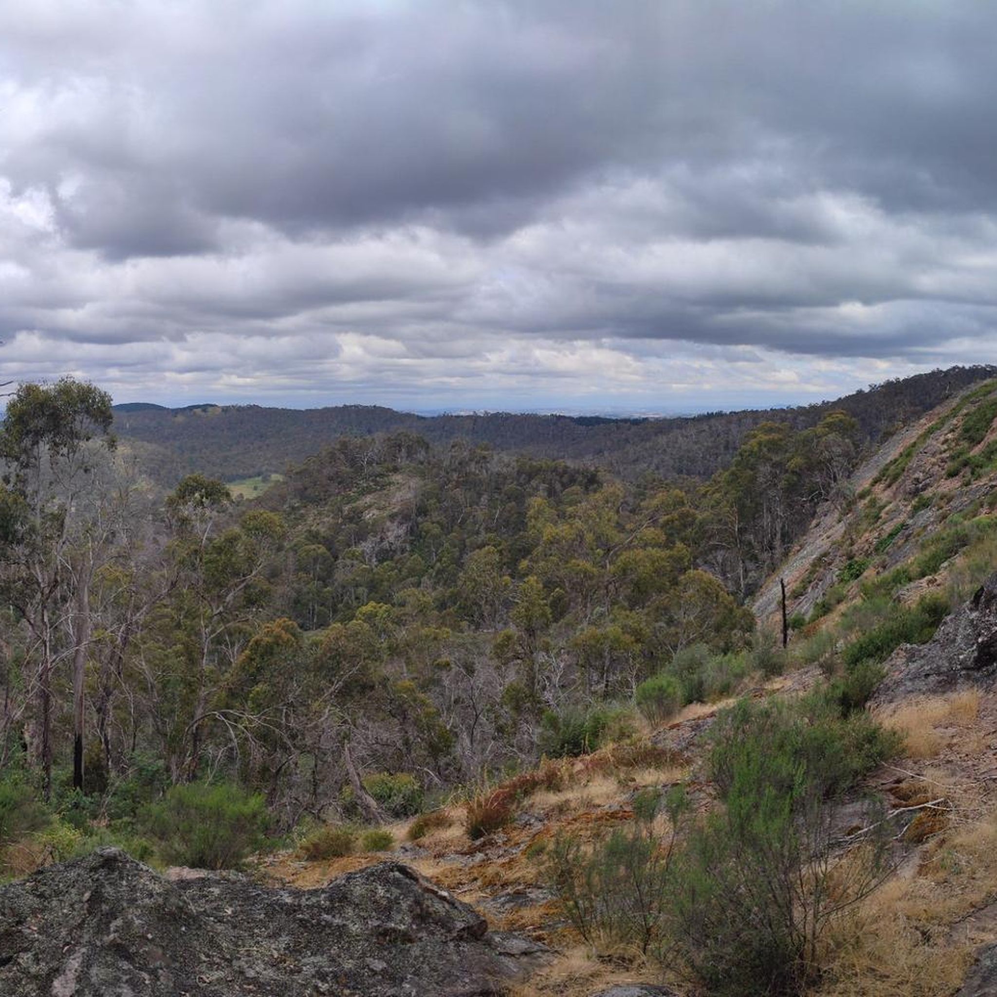
The terrain in Mount Canobolas State Conservation Area is quite diverse, shaped by its volcanic origins. You'll encounter distinctive geological features, undulating paths, and a mix of snow gum subalpine woodland, grassy woodlands, and rocky outcrops. Some routes feature mostly paved surfaces, while others are more rugged, requiring good fitness and sure-footedness.
Are there any easy or beginner-friendly running routes in the area?
Yes, there are moderate options suitable for beginners or those looking for a less strenuous run. For example, the Running loop from Gosling Creek Reservoir is a 6.2 km (3.9 miles) trail through a more accessible landscape, often completed in about 39 minutes. Another moderate option is the Running loop from Calare, which is 8.8 km (5.5 miles) long.
What are some challenging running routes for experienced runners?
For experienced runners seeking a challenge, the area offers routes with substantial elevation gain. The Gaanha-bula–Mount Canobolas – Glenwood State Forest loop from Boree Creek Culvert is a difficult 29.3 km (18.2 miles) path traversing varied landscapes with significant elevation changes. Another demanding option is the Young Man Canobolas – Gaanha-bula–Mount Canobolas loop from Towac Pinnacle, a 23.1 km (14.3 miles) trail with considerable elevation through volcanic terrain.
Can I find circular running routes in Mount Canobolas State Conservation Area?
Yes, many of the running routes in the area are circular loops, allowing you to start and finish at the same point. Examples include the Running loop from Gosling Creek Reservoir and the Young Man Canobolas – Gaanha-bula–Mount Canobolas loop from Towac Pinnacle, providing convenient options for your run.
Are dogs allowed on the jogging trails in Mount Canobolas State Conservation Area?
Mount Canobolas State Conservation Area has specific rules regarding dogs. Generally, dogs are not permitted on walking tracks or in picnic areas within the conservation area to protect the diverse wildlife. It's always best to check the official NSW National Parks website for the most current regulations before planning your visit with a pet. You can find more information at nationalparks.nsw.gov.au.
What natural features or landmarks can I see while running in Mount Canobolas?
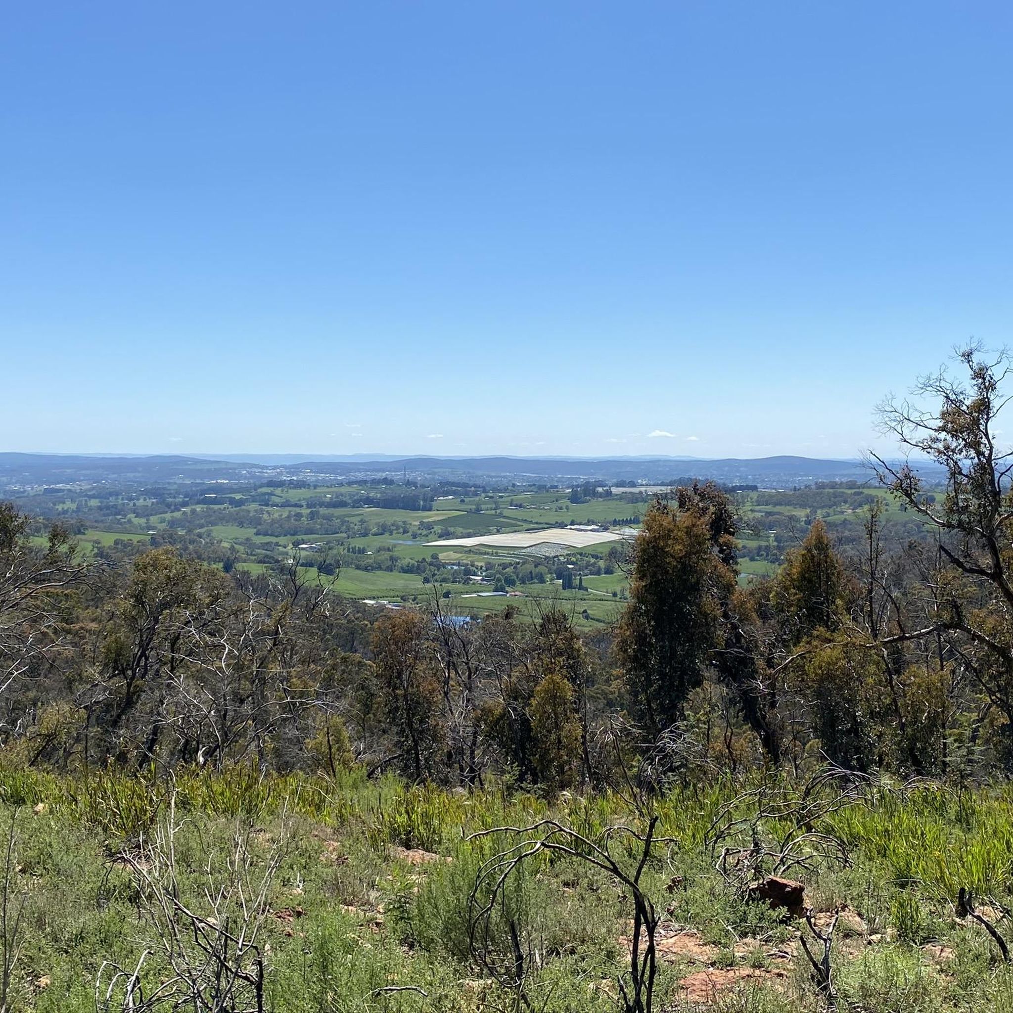
Jogging in Mount Canobolas offers stunning views and unique natural features. As the remnant of a dormant volcano, you'll encounter distinctive geological formations. The summit of Mount Canobolas, the highest point in central-west New South Wales, provides spectacular 360-degree views. You might also spot diverse flora, including snow gum subalpine woodland, and abundant birdlife, kangaroos, and wallabies. Lookouts like Walls Lookout and Orange View Picnic Area offer great resting spots with breathtaking vistas.
Is Mount Canobolas State Conservation Area suitable for family-friendly running or walks?
While some trails are more challenging, the area does offer options that can be enjoyed by families. The diverse trail options mean you can choose shorter, flatter paths or those with less significant elevation, depending on the family's fitness level. The peaceful ambiance and opportunities for wildlife spotting make it a pleasant environment for outdoor activities.
What is the best time of year to go jogging in Mount Canobolas?
The Mount Canobolas State Conservation Area is beautiful year-round, but spring is particularly vibrant with seasonal wildflower displays. The cool climate due to its high altitude makes it pleasant for running, especially compared to hotter regions. Always check local weather conditions before heading out, as elevation can lead to cooler temperatures.
Are there public transport options to reach the jogging trails?
Public transport options directly to the Mount Canobolas State Conservation Area are limited. Most visitors typically access the area by car. It is advisable to check local bus schedules from Orange, NSW, if you plan to rely on public transport, but direct routes to the trailheads might not be readily available.
Where can I park when visiting Mount Canobolas for a run?
Mount Canobolas State Conservation Area provides various parking areas conveniently located near trailheads and lookouts. Specific parking availability will depend on the starting point of your chosen route. For example, if you're starting the Running loop from Gosling Creek Reservoir, parking would be available near the reservoir.
What do other runners enjoy most about jogging in Mount Canobolas State Conservation Area?
Komoot users frequently praise the diverse and engaging landscape of Mount Canobolas. Many of the 55+ runners who have explored the area highlight the unique volcanic terrain, the stunning 360-degree views from the summit, and the peaceful, calming ambiance away from urban bustle. The variety of trails catering to different fitness levels is also a popular aspect.
Most popular routes in Mount Canobolas State Conservation Area

Get inspired with the komoot mobile app


Explore more
Browse the best Running Trails & Routes in other regions.
