The best road cycling routes in Olney State Forest
61
riders
9
rides
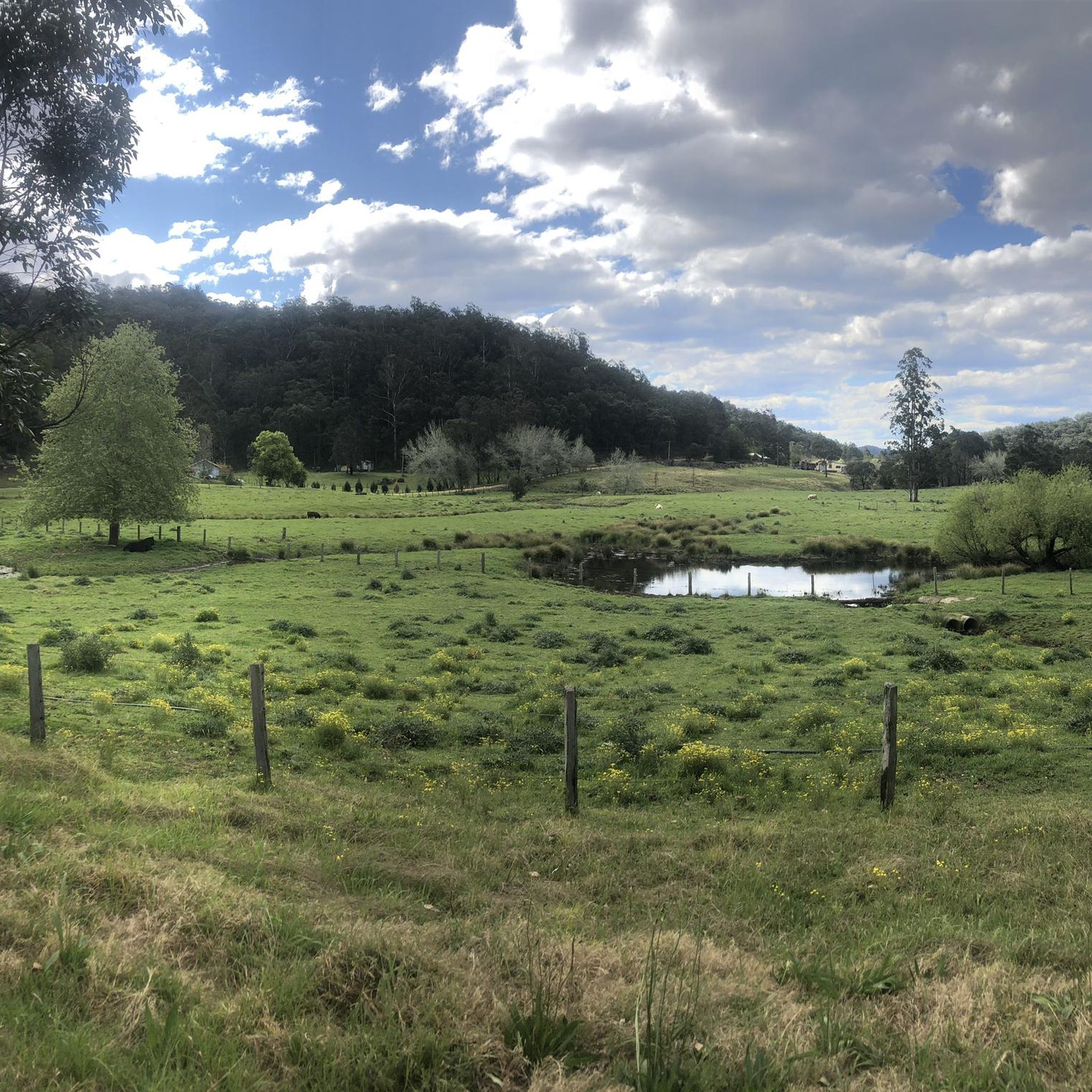
Road cycling in Olney State Forest presents a unique terrain, predominantly characterized by unsealed roads within a diverse forest landscape. The area features dry eucalypt forests, moist gullies of bluegum, and towering slash pine trees, remnants of historical plantings. While some segments may offer paved surfaces, road cyclists should anticipate varying conditions, as the majority of forest roads are unsealed and maintained to a 4WD standard, often being narrow and winding. The landscape also includes natural features such as rock…
Last updated: July 4, 2026
5
riders
37.3km
01:35
280m
280m
Easy road ride. Great for any fitness level. Mostly well-paved surfaces and easy to ride.
11
riders
79.5km
03:44
890m
890m
Moderate road ride. Good fitness required. Some segments of this route may be unpaved and difficult to ride.

Sign up for free
5
riders
50.5km
02:13
490m
490m
Moderate road ride. Good fitness required. Mostly well-paved surfaces and easy to ride.
4
riders
41.7km
01:49
390m
390m
Moderate road ride. Good fitness required. Mostly well-paved surfaces and easy to ride.
4
riders
54.0km
02:18
340m
340m
Moderate road ride. Good fitness required. Mostly well-paved surfaces and easy to ride.
Get access to more routes and recommendations from other explorers.
Sign up for free
Already have an account?
Our route recommendations are based on thousands of hikes, rides, and runs completed by other people on komoot.
Start today with a free account
Your next adventure awaits.
Login or Signup


Tips from the Community

A cycleway leads along the whole lake and providers regular expansive views
0
0


Nice views, it's a shared path a bit bumpy but an absolute joy 🙂
0
0
Frequently Asked Questions
How many road cycling routes are available in Olney State Forest?
There are 10 road cycling routes documented in Olney State Forest on komoot, offering a range of distances and difficulties for cyclists to explore.
What are the typical road conditions for cycling in Olney State Forest?
Road cycling in Olney State Forest primarily involves unsealed roads. While some segments may be paved, the majority are maintained to a 4WD standard, meaning they can be narrow, winding, and potentially slippery when wet. Cyclists should be prepared for varying surfaces.
Are there any family-friendly road cycling routes in Olney State Forest?
Yes, there are routes suitable for families. For instance, the Dora Creek loop from 503 Freemans Dr is an easy 23.2-mile route that explores varied forest scenery, making it a good option for a family outing.
What kind of natural features can I expect to see along the cycling routes?
Olney State Forest offers a diverse landscape. You can expect to cycle through dry eucalypt forests, moist gullies of bluegum, and areas with towering slash pine trees. Natural highlights also include rock overhangs, serene rock pools, and picturesque waterfalls like Abbotts Falls.
Is parking available for cyclists in Olney State Forest?
Yes, there are several picnic and camping areas within Olney State Forest that offer parking facilities. The Pines Picnic Area is a popular spot, and other camping areas like Casuarina, Turpentine, and The Basin also provide access points.
What is the best time of year for road cycling in Olney State Forest?
The forest's diverse terrain can be enjoyed year-round, but conditions vary. It's advisable to check local weather forecasts, especially during wet periods, as unsealed roads can become slippery. Spring and autumn generally offer milder temperatures and pleasant riding conditions.
Are there any challenging road cycling routes for experienced riders?
Yes, for more experienced riders, the Collies Waterhole loop from Mount Alison Reserve is a moderate 50.8-mile path with an elevation gain of over 890 meters, traversing diverse forest types. Another moderate option is the Stockton Creek loop from Freemans Dr opp Red Hill St, covering 31.4 miles.
Can I find loop trails for road cycling in Olney State Forest?
Yes, many of the routes in Olney State Forest are designed as loops, allowing you to start and finish at the same point. Examples include the Dora Creek loop and the Roadbike loop from Mount Alison Reserve.
What do other cyclists enjoy most about road cycling in Olney State Forest?
Cyclists often appreciate the unique, diverse forest landscape, transitioning from dry eucalypt to lush rainforest. The tranquility of the towering slash pine trees and the challenge of the predominantly unsealed roads are frequently mentioned aspects of the experience.
Are there any specific regulations for dog-friendly cycling in Olney State Forest?
Olney State Forest is generally dog-friendly, but specific regulations may apply, especially concerning leash requirements and waste disposal. It's always best to check the latest guidelines from NSW National Parks and Wildlife Service or Forestry Corporation NSW before your visit to ensure a responsible and enjoyable experience with your pet.
Are there any cafes, pubs, or accommodation options near Olney State Forest for cyclists?
While Olney State Forest itself is primarily a natural area with camping facilities, nearby towns such as Cooranbong and Wyong offer various cafes, pubs, and accommodation options. These towns can serve as convenient bases for exploring the forest and surrounding areas.
What is the elevation profile like for road cycling routes in the forest?
The elevation profiles vary significantly across routes. For example, the Dora Creek loop has an elevation gain of around 278 meters, while the more challenging Collies Waterhole loop features a substantial 890 meters of ascent, indicating a mix of flatter and more hilly terrain.
Most popular routes in Olney State Forest

Get inspired with the komoot mobile app


Explore more
Browse the best Road cycling routes in other regions.
