The 9 Most Amazing Peaks around Wildenfels
Best mountain peaks around Wildenfels are found within a charming, hilly landscape in the Zwickau district of Saxony, Germany. While the region does not feature towering summits, it offers several elevated locations and scenic viewpoints. Key features include the historic Schloss Wildenfels and the ecologically significant Wildenfelser Zwischengebirge. These areas provide opportunities for exploring natural beauty, historical sites, and panoramic vistas.
Best mountain peaks around Wildenfels
- The most popular mountain peaks is Katzenstein Triangulation Point, a man_made_monument that serves…
Last updated: October 17, 2026
Hirschenstein Summit and Triangulation Station
Highlight • Summit
Translated by Google •
Tip by

Bismarck Tower Keilberg
Highlight • Monument
Translated by Google •
Tip by

Sign up now to discover places like this
Get recommendations on the best single tracks, peaks, & plenty of other exciting outdoor places.
Katzenstein Triangulation Point
Highlight • Monument
Translated by Google •
Tip by

Summit Cross Reinsdorf
Highlight • Summit
Translated by Google •
Tip by

Anton-Günther-Berghaus
Highlight • Mountain Hut
Translated by Google •
Tip by

Sign up for free to discover even more peaks around Wildenfels.
Already have an account?
Start today with a free account
Your next adventure awaits.

Tips from the Community

Opening Hours according to Google Monday 4:30 PM–9:00 PM Tuesday Closed Wednesday Closed Thursday 11:00 AM–9:00 PM Friday 11:00 AM–10:00 PM Saturday 11:00 AM–10:00 PM Sunday 3:00 PM–9:00 PM
0
0

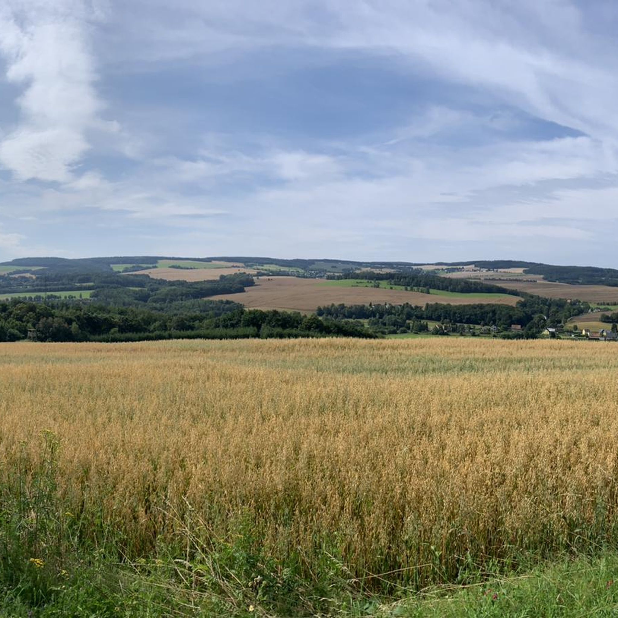
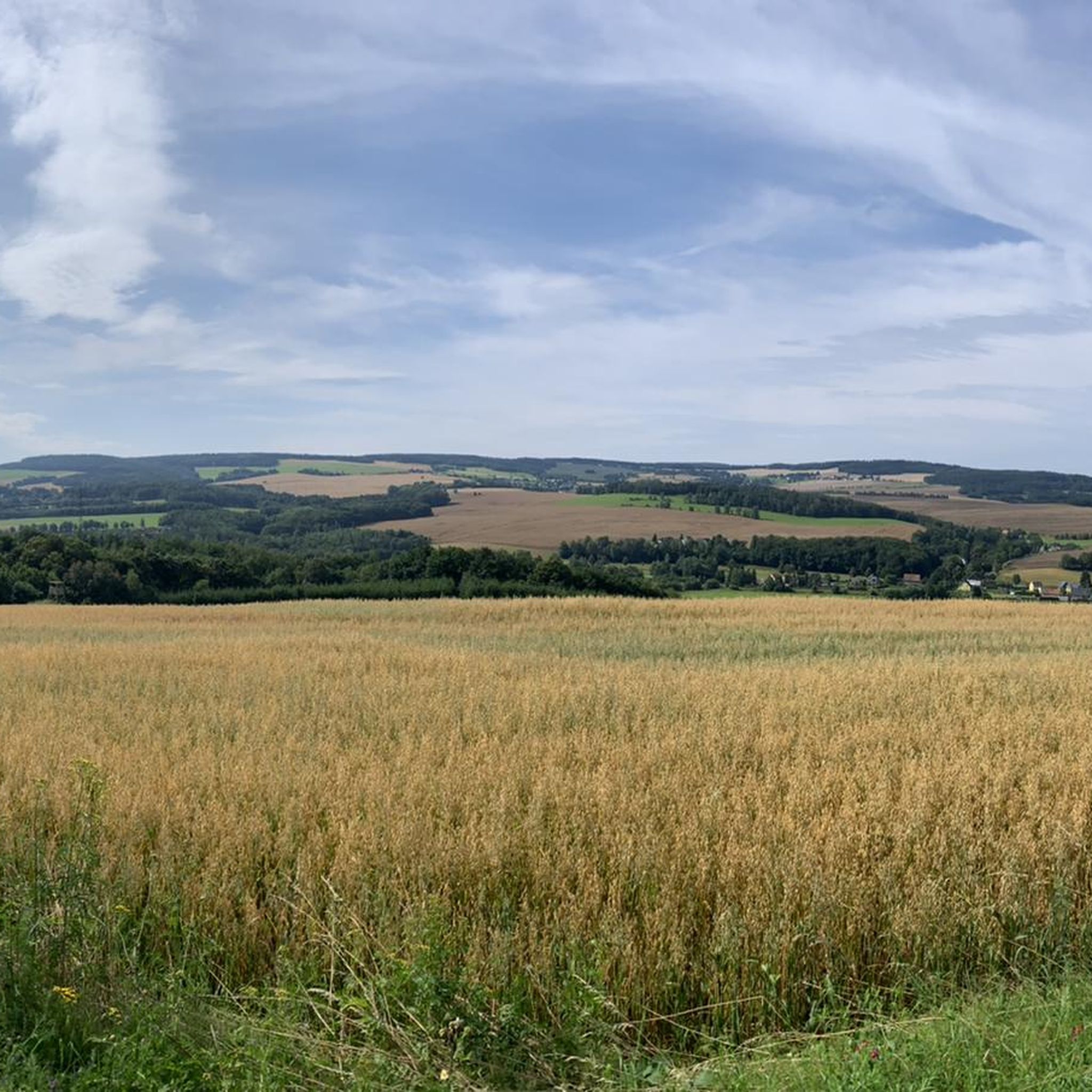
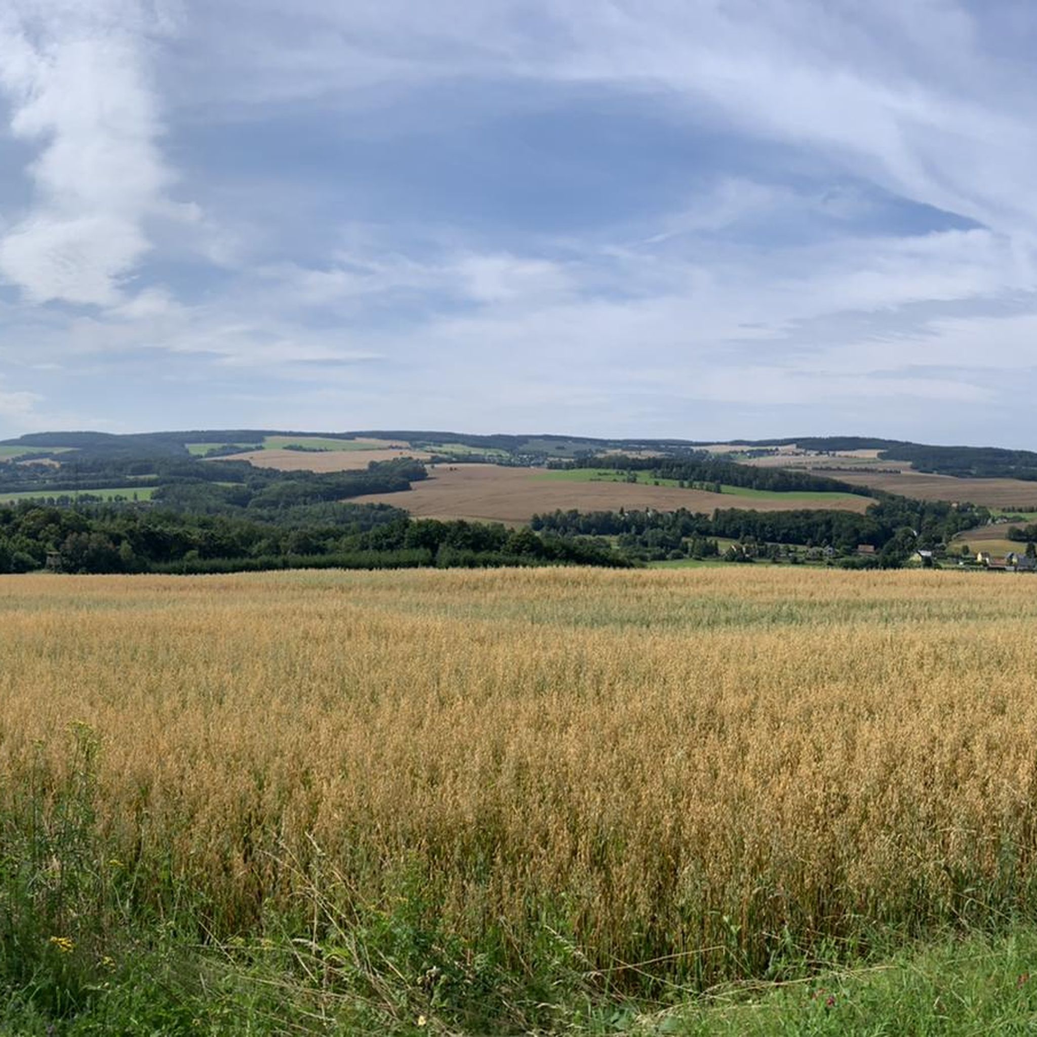
"The Royal Saxon Triangulation (here with its historical proper name) is a national survey carried out between 1862 and 1890 on the territory of the Kingdom of Saxony, with the simultaneous creation of a trigonometric network. The goal was to record the national territory with scientific and geodetic precision and, by establishing permanently marked reference points, to create the basis for the production of accurate maps." - https://de.wikipedia.org/wiki/K%C3%B6niglich-S%C3%A4chsische_Triangulirung The triangulation network created by August Nagel was considered one of the most accurate surveying networks in the world at the time. The Nagel columns are preserved today as technical monuments. From the Katzenstein station, the stations of Pfaffenberg (near Hohenstein-Ernstthal), Steinkamm, Schatzenstein, Hirschenstein, and Reinsdorf were surveyed. All of these mountains can still be seen today, along with many more. On a clear day, you can enjoy a fabulous panoramic view of the Ore Mountains, Vogtland, Fichtel Mountains, and the Ore Mountains foothills around Zwickau and Chemnitz.
2
0

Newly renovated and very inviting on the Borberg.
3
0


On the summit there is a trigonometric ground point, a Deutsche Telekom mobile phone mast with six antennas 500 meters away, and a survey point of the Royal Saxon Triangulation ("Nagel's Column") from 1864, the year of which - 1804 - is incorrectly painted. The Royal Saxon Triangulation (here with its historical proper name) is a land survey carried out in the territory of the Kingdom of Saxony between 1862 and 1890, with the simultaneous creation of a trigonometric network. The aim was to record the territory of the country with scientific and geodetic precision and to create the basis for the production of accurate maps by establishing permanently marked fixed points. The Großenhain base line was chosen as the scale basis.
2
0

Very good food, cozy and very friendly. I can only recommend it. 👌
0
0

Wonderful panoramic view of the Ore Mountains, towards Chemnitz and, if visibility is good, Leipzig
2
0
Frequently Asked Questions
What are the most notable elevated points or "peaks" in the Wildenfels region?
While Wildenfels features a charming, hilly landscape rather than towering summits, several elevated locations offer scenic views and historical significance. Key points include the historic Katzenstein Triangulation Point, the Dr. Köhler Tower and Glöckner Inn on the Gleesberg, and the Hirschenstein Summit and Triangulation Station.
What historical sites can I explore on or near these elevated points?
The region is rich in history. You can visit Katzenstein Triangulation Point, which is a historical measuring point of the Royal Saxon Triangulation. Another significant site is the Bismarck Tower Keilberg, an observation tower with historical importance. Additionally, Schloss Wildenfels, perched on a mountain spur, boasts over 800 years of history and offers historical grounds to explore.
Are there family-friendly options among the elevated points in Wildenfels?
Yes, the Dr. Köhler Tower and Glöckner Inn on the Gleesberg is considered family-friendly. It offers a worthwhile hike to an observation tower with a museum and an excursion restaurant, making it a great destination for families.
What kind of natural landscapes can I expect to see around Wildenfels' elevated areas?
The Wildenfels region is characterized by a charming, hilly landscape. You'll find areas like the Wildenfelser Zwischengebirge, which is an ecological and geological special feature with a fossil karst landscape, underground caves, and former quarries. Idyllic hiking trails wind through these areas, offering beautiful views of the natural landscape and into the distant Ore Mountains.
Where can I find panoramic views in the Wildenfels area?
Excellent panoramic views are available from several elevated points. The Katzenstein Triangulation Point offers a wonderful vantage point. The Bismarck Tower Keilberg provides a top panoramic view of Schneeberg and the surrounding area. Additionally, the Hirschenstein Summit and Triangulation Station offers a nice rest area with a view, and the Summit Cross Reinsdorf also provides a beautiful vista.
Are there hiking trails to reach these elevated points?
Yes, many of the elevated points are accessible via well-developed hiking paths. For instance, the Hirschenstein Summit and Triangulation Station is reached by nice, well-developed paths. The Wildenfelser Zwischengebirge also features idyllic hiking trails, including a dedicated educational trail.
What are some popular hiking routes around Wildenfels?
You can find various hiking routes around Wildenfels. Popular options include the "Wildenfels Castle Park – Wildenfels Castle loop from Wildenfels" (6.4 km, easy) and the "Härtensdorf Castle Pond – Wildenfels Castle loop from Wildenfels" (5.6 km, easy). For more options, explore the Hiking around Wildenfels guide.
Can I go cycling near the elevated points in Wildenfels?
Absolutely. The Wildenfels region offers several cycling opportunities. You can find routes like the "St. Mary's Cathedral, Zwickau – Zwickau City Hall loop from Wildenfels" (25 km, moderate) or the "Reinsdorf Mining Museum – View of the Ore Mountains loop from Wildenfels" (21.7 km, moderate). For more details, check out the Cycling around Wildenfels guide.
What is the highest point in the Zwickauer Land accessible from Wildenfels?
The highest point in Zwickauer Land is the Hirschenstein Summit and Triangulation Station, standing at 610.4 meters. It offers a nice rest area with a view and is accessible via well-developed paths.
What do visitors particularly enjoy about the elevated points in Wildenfels?
Visitors appreciate the wonderful vantage points and great views, especially from locations like the Katzenstein Triangulation Point. Many enjoy the worthwhile hikes to destinations like the Dr. Köhler Tower, which often includes a tower museum. The peaceful and idyllic nature of these spots, along with the opportunity for a nice rest, is also frequently mentioned.
Is there an educational trail in the Wildenfels region?
Yes, the Wildenfelser Zwischengebirge features a dedicated educational trail (Lehrpfad) that runs between Wildenfels, Schönau, and Grünau. This trail offers insights into the ecology, geography, geology, and history of the region, making for an informative outdoor experience.
Are there any observation towers in the Wildenfels area?
Yes, the region has notable observation towers. The Dr. Köhler Tower on the Gleesberg is a popular viewpoint with an observation tower and a museum. Another significant one is the Bismarck Tower Keilberg, which offers extensive panoramic views when accessible.
Most popular routes around Wildenfels
Most popular attractions around Wildenfels

Get inspired with the komoot mobile app


Explore more
See even more amazing summits around Wildenfels with these guides:
