The best running trails in Peachester State Forest
4.5
(2)
19
runners
1
run
Jogging routes in Peachester State Forest traverse a predominantly dry landscape characterized by tall trees and operational forestry roads. The terrain can be rugged and challenging, with trails that are often steep and rutted. While views can be limited in many sections, the forest features a creek with palm trees and borders a macadamia plantation. Navigation can be challenging due to limited visibility, making a good sense of direction or GPS advisable.
Best jogging routes in Peachester State Forest
- The…
Last updated: July 9, 2026
6
runners
9.94km
01:03
110m
110m
Moderate run. Good fitness required. Mostly paved surfaces. Suitable for all skill levels.
5
runners
9.59km
01:02
150m
150m
Moderate run. Good fitness required. Mostly paved surfaces. Suitable for all skill levels.

Sign up for free
2
runners
Moderate run. Good fitness required. Mostly paved surfaces. Suitable for all skill levels.
3
runners
7.66km
01:01
200m
200m
Moderate run. Good fitness required. Mostly paved surfaces. Suitable for all skill levels.
4.5
(2)
3
runners
Hard run. Very good fitness required. Mostly paved surfaces. Suitable for all skill levels.
Our route recommendations are based on thousands of hikes, rides, and runs completed by other people on komoot.
Start today with a free account
Your next adventure awaits.
Login or Signup
Popular around Peachester State Forest
Tips from the Community

Tibrogargan Climb Entrance is a developed car park and trackhead. If the car park is full bushwalkers often park on the dirt strip on the southern edge of Marshs Road. This area has shaded picnic areas, toilets, maps and a shoe cleaning station.
0
0

This is one of the main junctions on the track, marked by a sign pointing toward Beerburrum trailhead, Soldier Settlers’ Trail, and the Trachyte Circuit. The paths split in different directions through open forest, with sandy ground and loose leaf litter underfoot. It’s an easy place to check your route, especially if you’re linking different sections rather than sticking to the main circuit.
0
0
Glass House Mountains National Park is a cluster of volcanic plugs rising from the flatlands. These plugs are what's left of the cores of ancient volcanoes from millions of years ago. This park holds great cultural significance for the Jinibara people and is open to bushwalking and climbing.
1
0
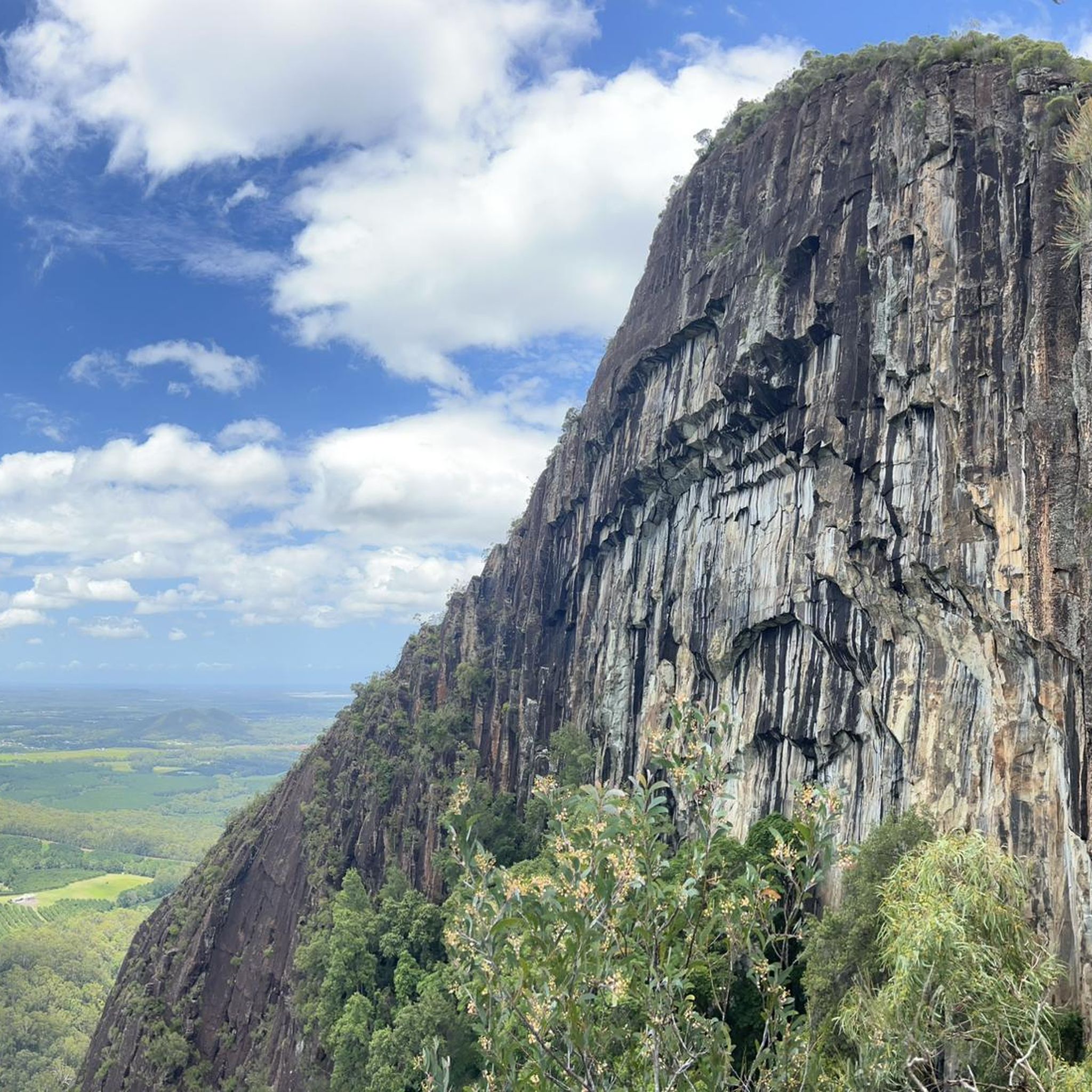
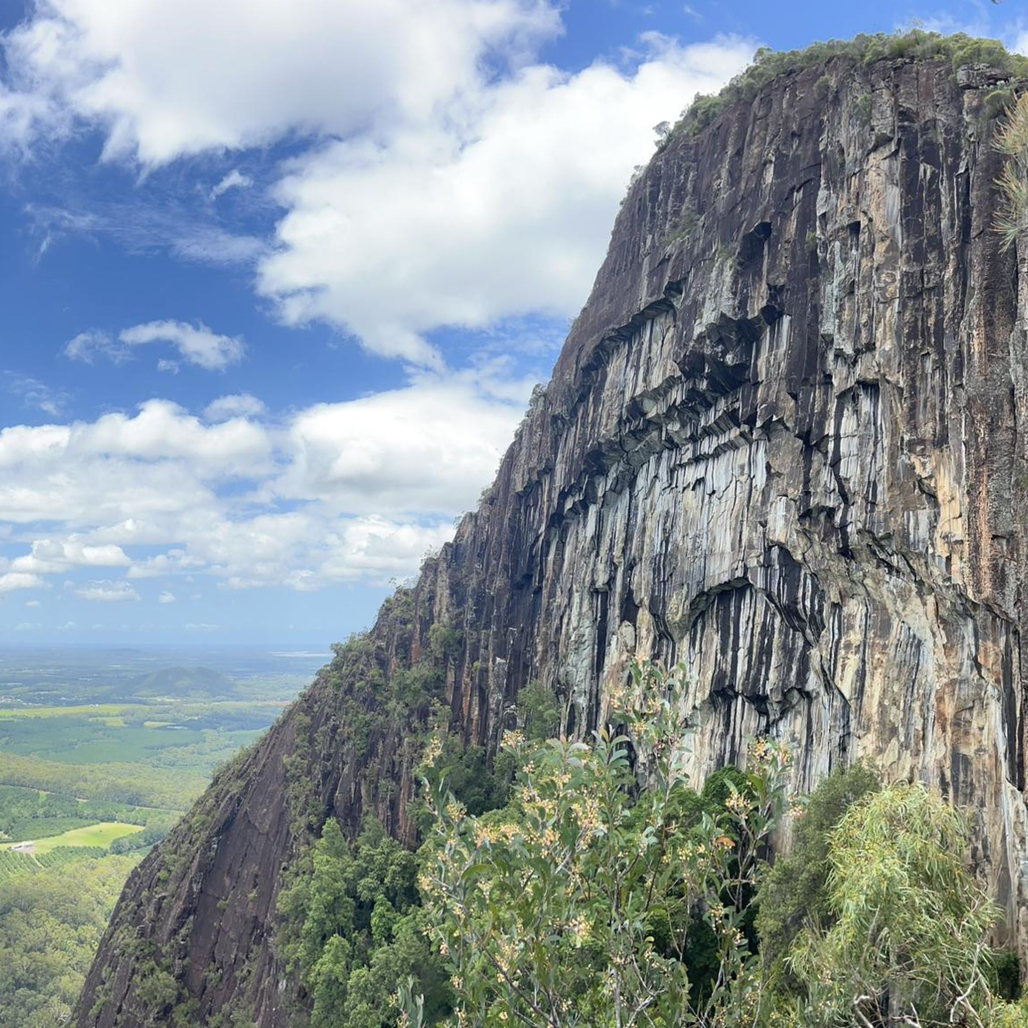
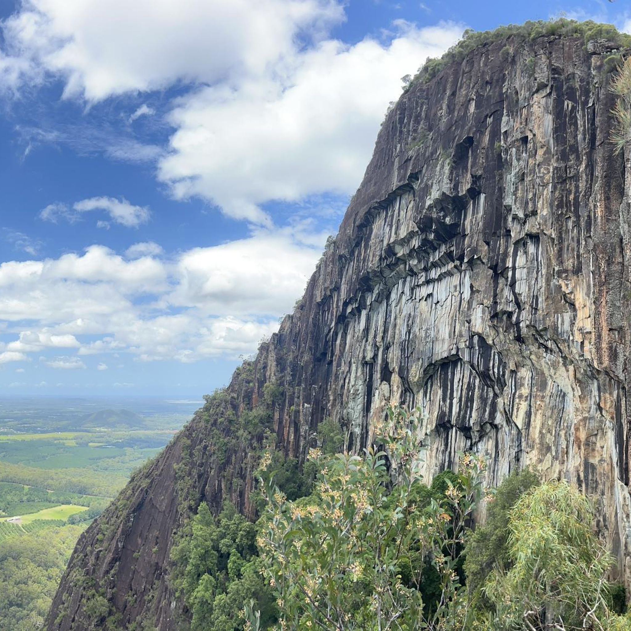
Rising to around 364 metres in Glass House Mountains National Park, Mount Tibrogargan is one of the most prominent peaks in the range, with a steep, exposed rock face that dominates the surrounding landscape. The mountain is covered in pockets of vegetation around its base, transitioning quickly to bare, smooth rock higher up. While it is possible to reach the summit, the route involves near-vertical scrambling in sections and is not suitable for most walkers. Instead, many choose to walk around the base, where the mountain appears between the trees, often with peregrine falcons seen circling overhead.
0
0
Located on the Tibrogargan circuit track, Mountain View lookout opens up to wide views across several of the Glass House peaks, including Mount Beerwah, Coonowrin, Tibberoowuccum, and Tunbubudla.
0
0
This 4.1 kilometre return Grade 3 circuit in Glass House Mountains National Park loops around the base of Mount Tibrogargan through a mix of casuarina groves, open eucalypt woodland, and melaleuca forest. The track remains largely shaded due to dense tree cover, offering some relief from the heat along the route. Expect a mostly well-defined path with sections of uneven ground. The mountain’s rock face appears at different points as you move around the circuit.
0
0

Soldier Settlers’ Trail is a shared walking and cycling path that passes through bushland and rural landscapes near the Glass House Mountains. The route crosses land once allocated to returned soldiers after World War I, when the area was opened for small farming settlements. Today, the trail quietly traces that history while connecting local tracks and natural areas around the national park.
0
0
Dayman’s Cave is a small rock overhang located just off the track near the upper slopes. The shallow shelter is a short detour that is often visited as a quick side stop on the climb. It offers a good sense of the mountain’s volcanic rhyolite formations and sheltered microhabitats.
0
0
Frequently Asked Questions
What is the general terrain like for running in Peachester State Forest?
The terrain in Peachester State Forest is predominantly rugged and challenging, characterized by operational forestry roads and a dry landscape with tall trees. Runners should expect steep ascents, rutted paths, and in some areas, fine silt that can become slippery when wet. It's a demanding environment, often better suited for experienced trail runners.
Are there any easy running routes for beginners in Peachester State Forest?
While many routes are moderate to difficult, there is an easier option available. The Cooee View loop from Mt Tibrogargan Carpark is a 4.2 km trail that can be completed in about 31 minutes, offering a less strenuous experience through forested areas.
What kind of natural features or viewpoints can I expect to see while jogging?
Peachester State Forest features a creek with palm trees and borders a macadamia plantation, offering some natural points of interest. While views can be limited in many sections due to the dense tree cover, the approach to the park via Reserve Lane offers picturesque scenery including a beautiful Red Cedar tree and drives past avocado and custard apple orchards.
How long are the running trails in Peachester State Forest?
The running trails in Peachester State Forest vary in length. For example, the Running loop from Tranquil Park Maleny is approximately 9.9 km, while the more challenging Ngungun View – Beerburrum Lookout loop from Mt Tibrogargan Carpark extends to about 18.5 km. There are also shorter options like the 4.2 km Cooee View loop.
Is navigation difficult on the trails, and do I need a GPS?
Yes, navigation can be challenging in Peachester State Forest due to limited visibility and multiple side trails. A good sense of direction or a GPS device is highly recommended to stay on track and ensure a safe run.
Are there any circular running routes available?
Yes, several routes in Peachester State Forest are circular. Examples include the Running loop from Tranquil Park Maleny, the McCarthys Lookout loop from Avocado Lane Park, and the Cooee View loop from Mt Tibrogargan Carpark, all designed for a continuous loop experience.
What do other runners say about jogging in Peachester State Forest?
The routes in Peachester State Forest are highly rated by the komoot community, with an average score of 4.0 stars from 1 review. Over 65 runners have used komoot to explore the varied and challenging terrain, often appreciating the rugged, natural environment, though noting the demanding nature of the trails.
Are the running trails in Peachester State Forest suitable for families?
Given the rugged, steep, and often rutted nature of the trails, Peachester State Forest may not be ideal for all families, especially those with young children or those seeking a leisurely jog. More suitable and safer options for less strenuous and more scenic routes might be found in alternative destinations like the Glass House Mountains Conservation Park.
Is Peachester State Forest dog-friendly for running?
While the region research does not explicitly state dog-friendliness for running, state forests in Queensland generally have regulations regarding dogs. It's advisable to check the official Queensland Parks and Wildlife Service website for the most current information on dog access in Peachester State Forest before planning your run with a dog.
Where can I park when visiting Peachester State Forest for a run?
Specific parking details for each trailhead are typically provided within the individual route descriptions on komoot. For example, routes like the Cooee View loop and Ngungun View – Beerburrum Lookout loop start from the Mt Tibrogargan Carpark, and the McCarthys Lookout loop begins from Avocado Lane Park.
What is the best time of year to go running in Peachester State Forest?
Peachester State Forest features a predominantly dry landscape. While specific seasonal recommendations for running are not provided, it's important to consider that trails can become slippery when wet due to fine silt. Therefore, drier periods might offer more stable running conditions. Always check local weather forecasts before heading out.
Are there any longer, more challenging running routes for experienced runners?
Yes, experienced runners looking for a significant challenge can tackle routes like the Ngungun View – Beerburrum Lookout loop from Mt Tibrogargan Carpark. This difficult 18.5 km route involves substantial elevation changes, making it a demanding option for those seeking a rigorous workout.

Get inspired with the komoot mobile app


Explore more
Browse the best Running Trails & Routes in other regions.
