The best road cycling routes in Mooball National Park
4.3
(5)
146
riders
14
rides
Road cycling routes in Mooball National Park traverse a diverse landscape characterized by mountainous terrain and extensive subtropical rainforest. The park encompasses sections of the Condong Range and Burringbar Range, featuring hills that reach several hundred meters in elevation. Cyclists can experience varied routes, from those with minimal elevation gain to more challenging paths involving significant climbs, with some points offering views towards the ocean.
Best road cycling routes in Mooball National Park
- The most popular road cycling route is…
Last updated: July 9, 2026
3
riders
56.6km
02:50
730m
730m
Moderate road ride. Good fitness required. Some segments of this route may be unpaved and difficult to ride.
9
riders
44.4km
02:22
310m
310m
Moderate road ride. Good fitness required. Mostly well-paved surfaces and easy to ride.

Sign up for free
7
riders
65.3km
03:08
600m
600m
Moderate road ride. Good fitness required. Mostly well-paved surfaces and easy to ride.
3.5
(2)
34
riders
45.1km
02:09
110m
110m
Moderate road ride. Good fitness required. Mostly well-paved surfaces and easy to ride.
11
riders
24.8km
01:07
110m
110m
Easy road ride. Great for any fitness level. Mostly well-paved surfaces and easy to ride.
Get access to more routes and recommendations from other explorers.
Sign up for free
Already have an account?
Our route recommendations are based on thousands of hikes, rides, and runs completed by other people on komoot.
Start today with a free account
Your next adventure awaits.
Login or Signup
Popular around Mooball National Park


Tips from the Community

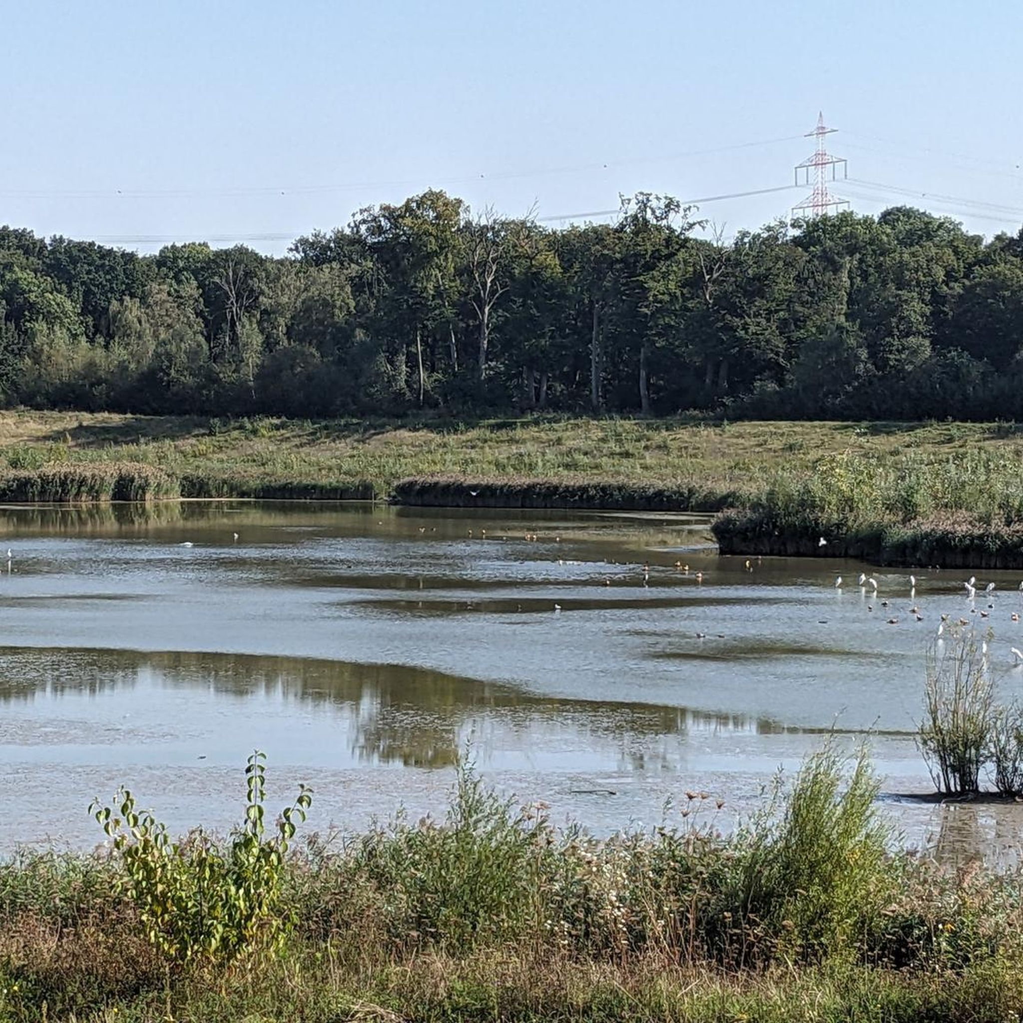
Where I hit my head on the boom and went under the bridge sideways 😊
0
0

Frequently Asked Questions
How many road cycling routes are available in Mooball National Park?
There are 13 road cycling routes documented in Mooball National Park on komoot. These routes offer a diverse range of experiences, from easier rides to more challenging ascents through the region's unique landscapes.
What kind of terrain can I expect on road cycling routes in Mooball National Park?
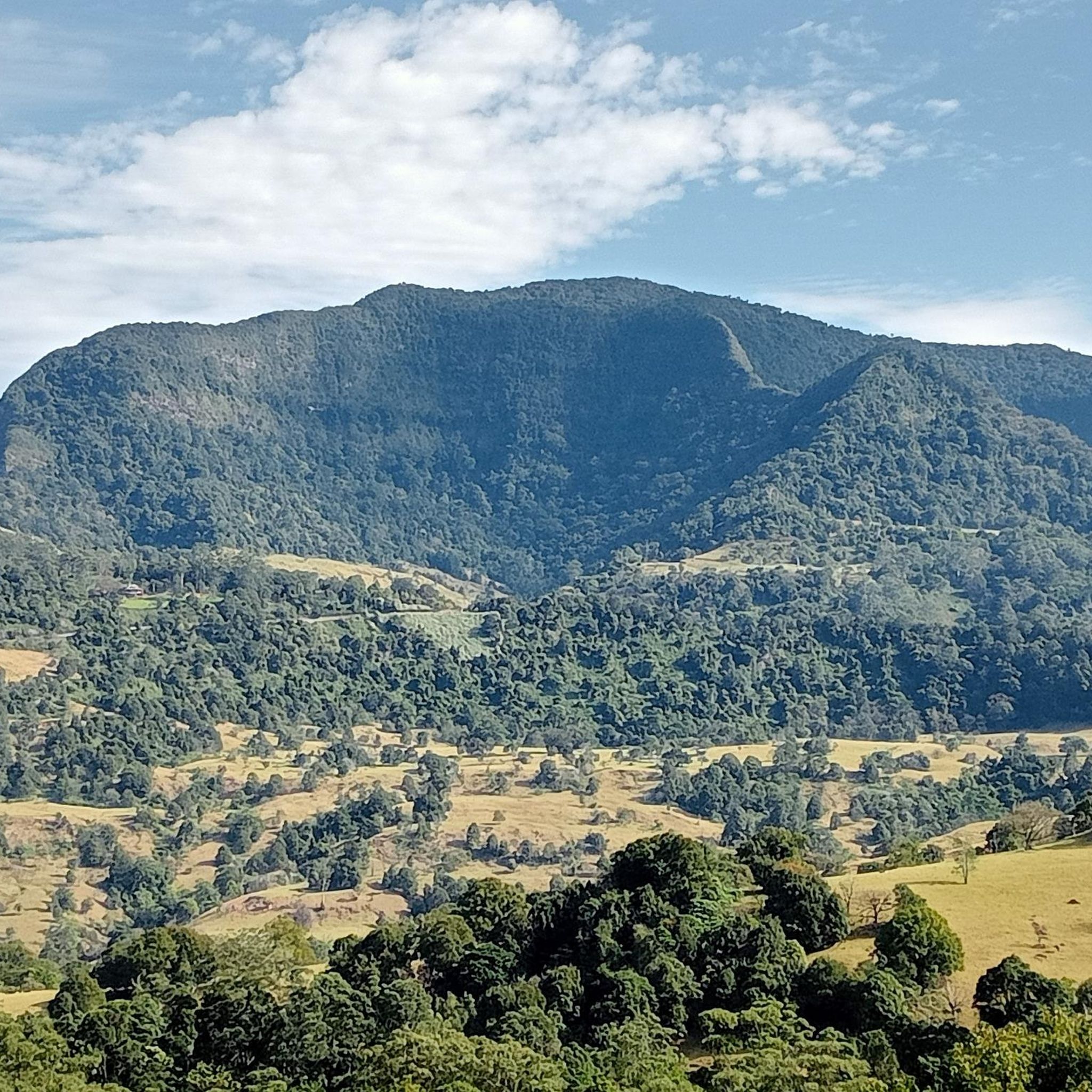
Road cycling in Mooball National Park features a diverse landscape, primarily characterized by mountainous terrain and extensive subtropical rainforest. You'll encounter hills reaching several hundred meters in elevation, with routes offering varied experiences from minimal elevation gain to significant climbs. From certain vantage points, you can enjoy views stretching out towards the ocean.
Are there routes suitable for beginners or less experienced road cyclists?
Yes, Mooball National Park offers routes suitable for various fitness levels. There are 4 easy routes available, providing options with minimal elevation gain and generally paved surfaces, perfect for those looking for a more relaxed ride. An example is the Stokers Siding Road loop from Murwillumbah, which is an easy 34.5 km ride.
What are some challenging road cycling routes in the park?
For experienced road cyclists seeking a challenge, the park and its surrounds offer routes with significant climbs. While most routes are moderate, there is 1 difficult route documented. Some routes can involve up to 1500 feet of elevation gain over several hours, demanding good to very good fitness. These more demanding paths often traverse the mountainous sections of the Condong and Burringbar Ranges.
Are there any circular road cycling routes in Mooball National Park?
Many of the road cycling routes in Mooball National Park are designed as loops, allowing you to start and finish at the same point. For instance, the popular Roadbike loop from Tweed Valley Way opp Pottsville Rd is a moderate 56.6 km circular route that takes you through varied terrain.
What are some notable natural features or landmarks I might see while cycling?
While cycling, you'll be immersed in the park's lush subtropical rainforest, which covers approximately one-third of the area. The mountainous terrain, including parts of the Condong Range and Burringbar Range, offers scenic backdrops. From higher elevations, you might catch glimpses of the ocean. For a specific point of interest, the nearby town of Mooball features an original 1930s pub and post office, adorned with distinctive black and white cow prints.
Is Mooball National Park suitable for family road cycling trips?
The suitability for family road cycling depends on the family's experience and fitness levels. While the park offers some easy routes, the terrain can be mountainous with significant climbs on other paths. Families with younger children or less experienced riders might prefer the easier, flatter sections or consider accessing the nearby Northern Rivers Rail Trail for a more dedicated family-friendly cycling experience outside the immediate park boundaries.
What is the best time of year for road cycling in Mooball National Park?
The region experiences a subtropical climate. While cycling is possible year-round, consider the wet season, which can bring significant rainfall and potentially misty conditions, enhancing the rainforest's lushness but also making roads slick. The cooler, drier months might offer more comfortable riding conditions, though the park's beauty is present in all seasons.
What do other road cyclists enjoy most about road cycling in Mooball National Park?
The area is highly rated by the komoot community, with an average score of 4.0 stars. Reviewers often praise the diverse terrain, the immersive experience of cycling through subtropical rainforest, and the rewarding views towards the ocean from certain points. The variety of routes, catering to different ability levels, is also frequently highlighted.
Are there any specific routes that feature waterways or coastal views?
Yes, some routes offer views or pass near waterways. For example, the Mooball Creek – Cudgera Creek loop from Carpool is a moderate 44.4 km route that features a mix of landscapes, including sections near waterways. Additionally, from certain elevated points within the park, routes can provide expansive views stretching out towards the ocean.
Can I access the Northern Rivers Rail Trail from Mooball National Park?
While the park itself is distinct, its proximity to the Northern Rivers Rail Trail offers direct access to additional cycling adventures. The town of Mooball, which is near the park, provides a convenient access point to the Rail Trail, allowing cyclists to extend their rides or explore different types of terrain.
Where can I find amenities like food and drink near the cycling routes?
The town of Mooball, located near the national park, offers amenities such as its original 1930s pub and post office. These can serve as convenient spots to rest, refuel, and grab a drink or a meal before or after your ride. It's advisable to carry sufficient water and snacks, especially on longer routes, as services might be limited directly within the park's more remote sections.

Get inspired with the komoot mobile app


Explore more
Browse the best Road cycling routes in other regions.
