The best walks and hikes around Alpirsbach
4.5
(26828)
97,859
hikers
153
hikes
Hiking around Alpirsbach offers diverse terrain within the Black Forest, characterized by dense woodlands, rolling hills, and the scenic Kinzig Valley. The region features prominent natural elements such as the Kinzig River, the Kleine Kinzig reservoir, and several waterfalls. Trails often follow river courses or ascend to viewpoints overlooking the valleys. This landscape provides a variety of hiking experiences across different elevation profiles.
Best hiking trails around Alpirsbach
- The most popular hiking route is Trail Along the Kleine Kinzig –…
Last updated: October 6, 2026
3.8
(47)
137
hikers
6.11km
01:43
120m
120m
Easy hike. Great for any fitness level. Easily-accessible paths. Suitable for all skill levels.
4.7
(353)
1,214
hikers
Moderate hike. Good fitness required. Easily-accessible paths. Suitable for all skill levels.

4.5
(19)
115
hikers
4.58km
01:21
140m
140m
Easy hike. Great for any fitness level. Easily-accessible paths. Suitable for all skill levels.
4.5
(130)
455
hikers
6.38km
01:49
140m
140m
Easy hike. Great for any fitness level. Easily-accessible paths. Suitable for all skill levels.
4.7
(65)
204
hikers
19.2km
05:59
650m
660m
Hard hike. Very good fitness required. Mostly accessible paths. Sure-footedness required.
Get access to more routes and recommendations from other explorers.
Already have an account?
Our route recommendations are based on thousands of hikes, rides, and runs completed by other people on komoot.
Start today with a free account
Your next adventure awaits.
Popular around Alpirsbach
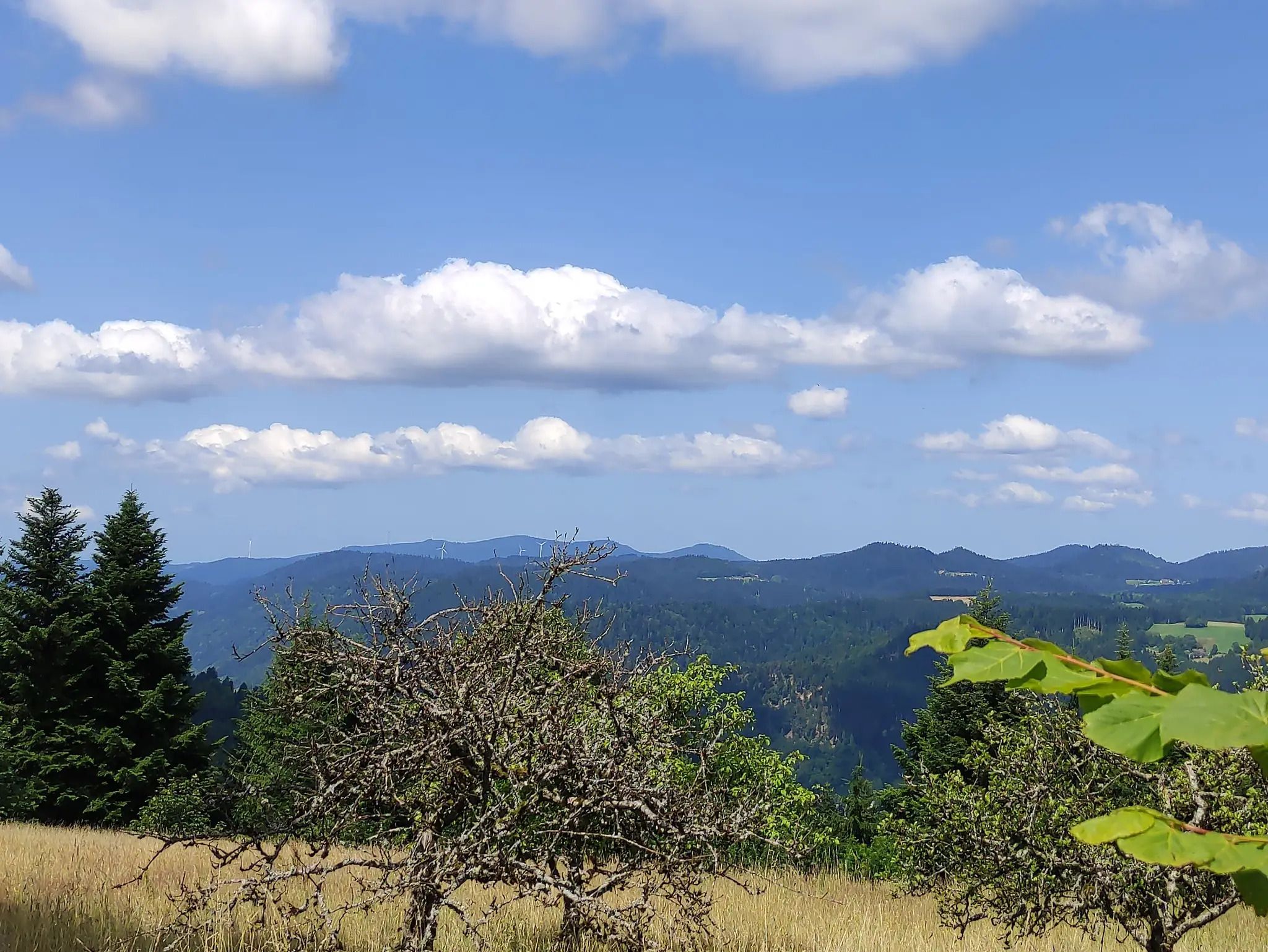
The Eastern Path of the Black Forest Association
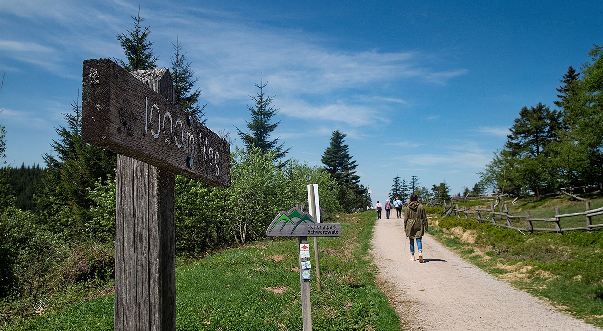
Barrier-free hikes in the Black Forest National Park
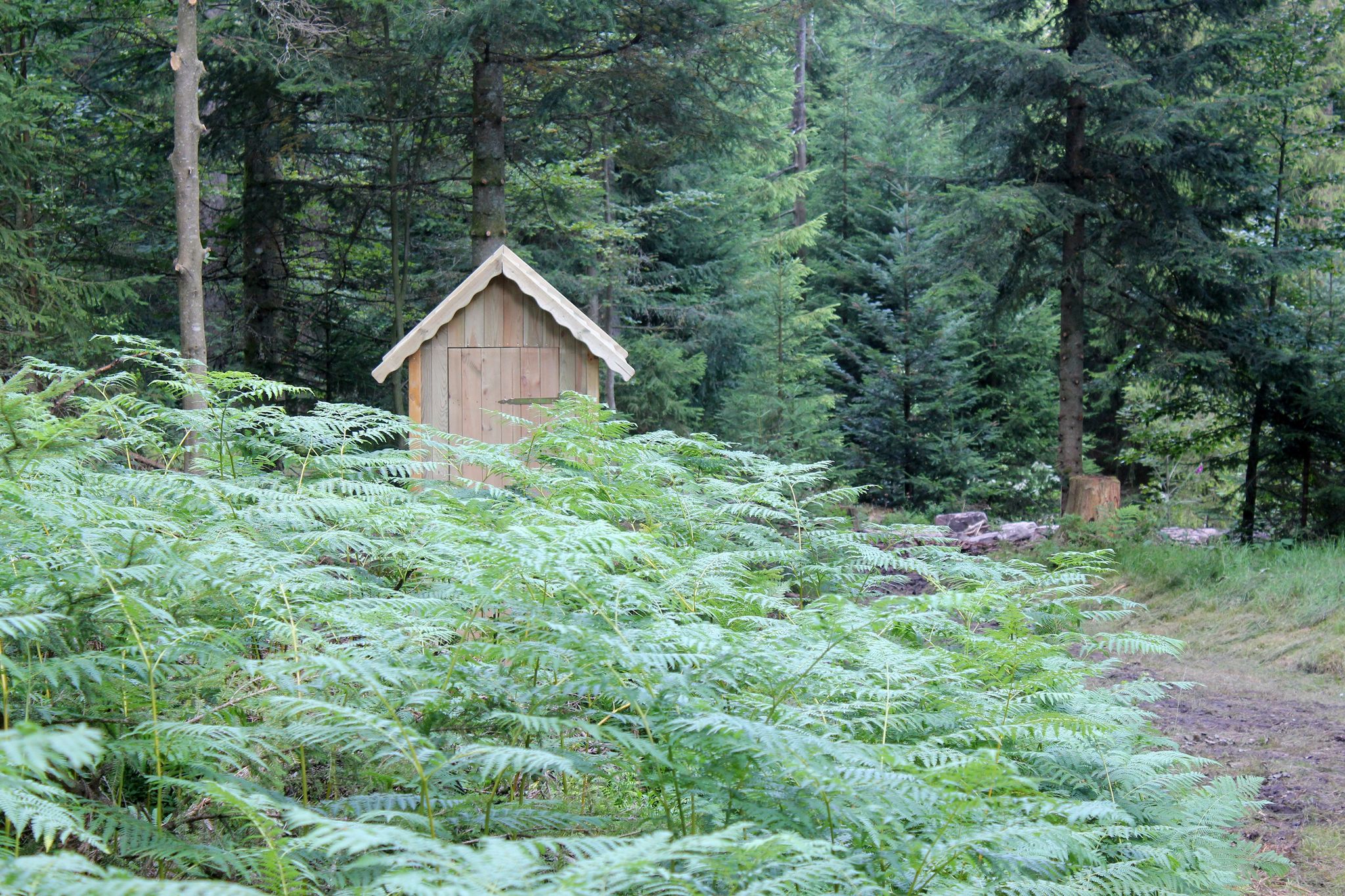
Trekking Black Forest 7-day tour from Alpirsbach to Biberach
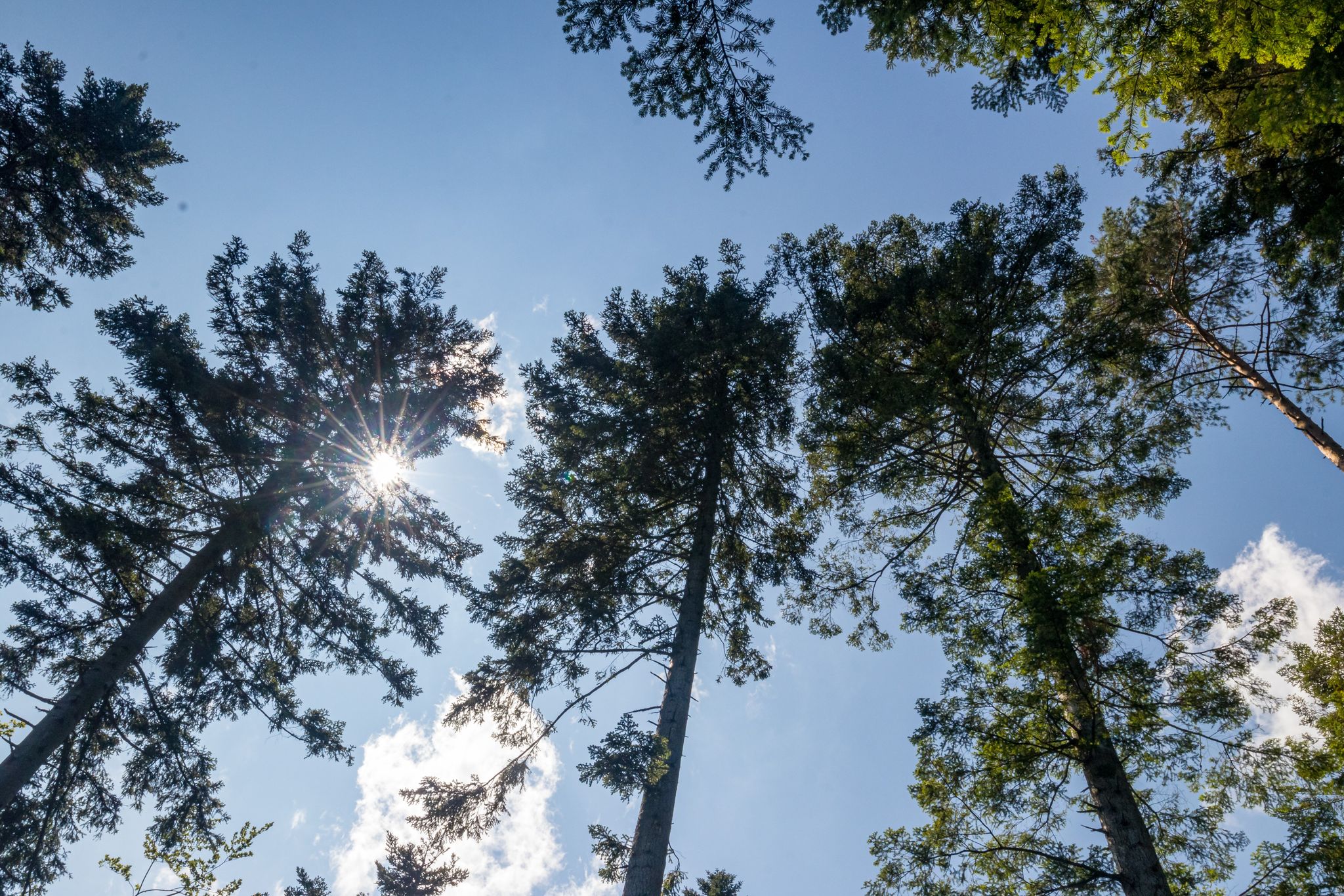
Trekking Schwarzwald 3-day tour to Camps Loßburg and Kniebis
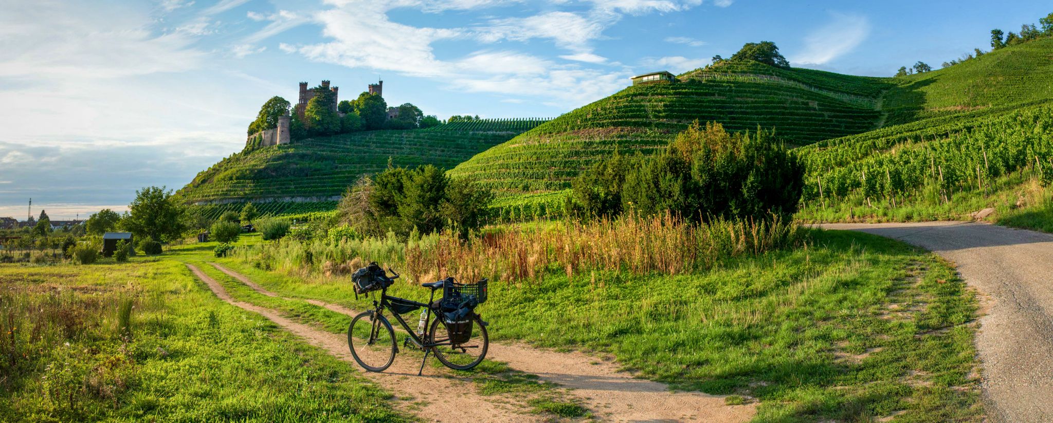
Three Valleys Cycle Path – Cycle across the Black Forest in Germany

Gentle cycling & fine dining – the Black Forest for connoisseurs
Ride legendary training passes in the Black Forest
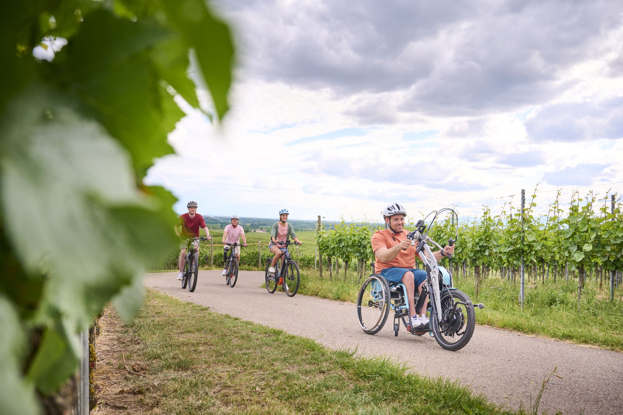
Handbike-Touren im Schwarzwald

Gravel biking around Alpirsbach
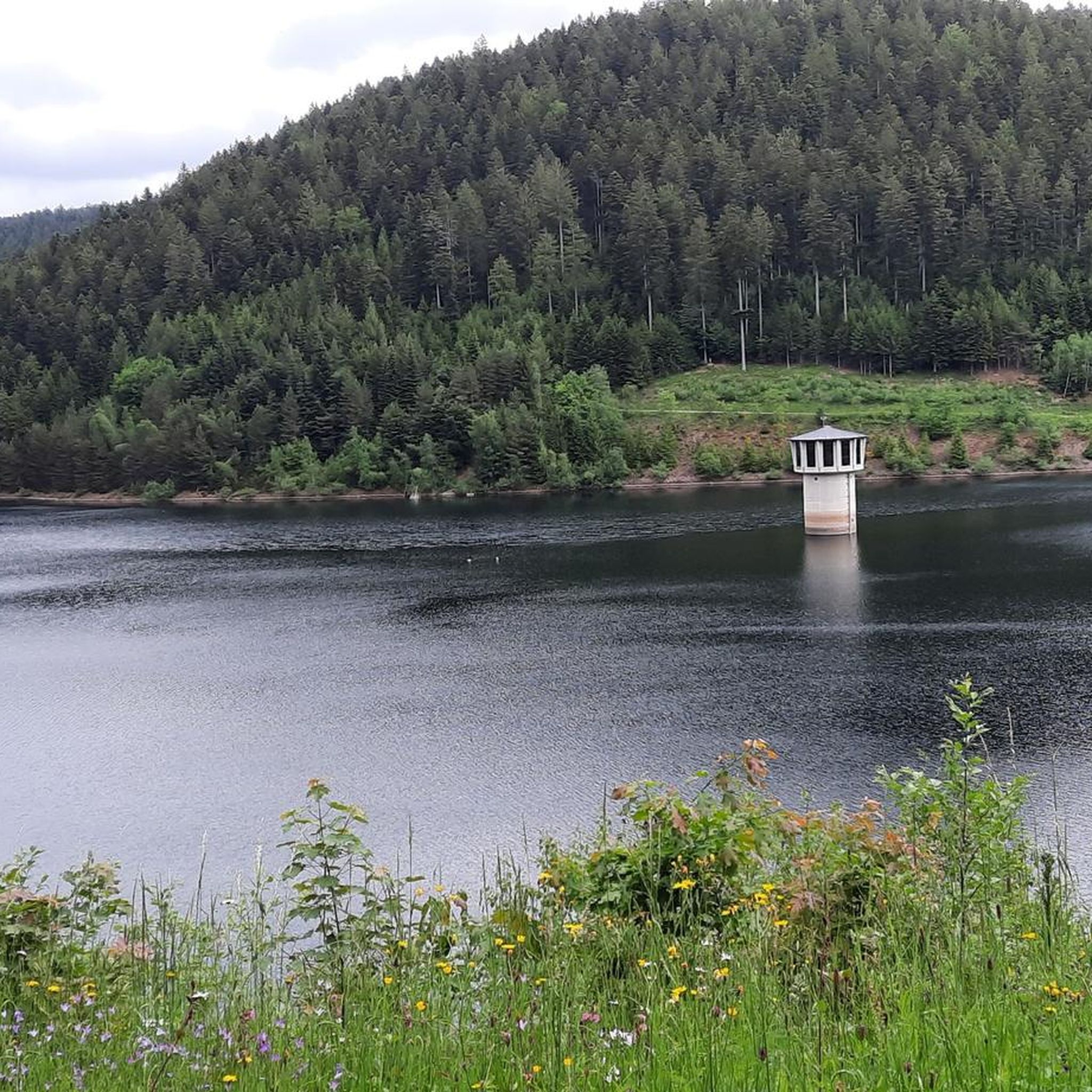
Cycling around Alpirsbach
Other adventures around Alpirsbach


Tips from the Community

The "Alpirsbächle" is indeed a small tributary of the Kinzig River in the Northern Black Forest. It flows through the town of Alpirsbach (Freudenstadt district, Baden-Württemberg) and probably gave the town its name.
2
0

Right by the waterfall
0
1

Nice view from there
1
0

Very nice.
1
1

Alpirsbach is a very beautiful little town with lots to see!
7
0

You really have to be sure-footed, the way down is quite a challenge.
0
0
It is very beautiful here.
1
3
Frequently Asked Questions
How many hiking trails are available around Alpirsbach?
Alpirsbach offers a wide selection of hiking trails, with nearly 150 routes recorded on komoot. These range from easy strolls to more challenging long-distance paths, ensuring options for all fitness levels.
What types of terrain can I expect on hikes in Alpirsbach?
The terrain around Alpirsbach is diverse, characterized by dense Black Forest woodlands, rolling hills, and picturesque valleys, particularly the scenic Kinzig Valley. Many trails follow river courses, while others ascend to viewpoints offering panoramic vistas. You'll find a mix of forest paths, riverside trails, and some routes with significant elevation changes.
Are there any trails with waterfalls in the Alpirsbach area?
Yes, Alpirsbach is home to several beautiful waterfalls. The impressive Burgbach Waterfall is a notable natural feature, accessible via routes like the challenging Burgbach Waterfall – Burgbachfelsen Pavilion loop. The Gräbenbach Waterfall is another scenic spot in the region.
Are there family-friendly hiking options in Alpirsbach?
Absolutely. Alpirsbach offers several easy trails suitable for families. The Kleine Kinzig Dam – Trail Along the Kleine Kinzig loop is an easy 6.4 km path with pleasant views. The first section of the Timber Rafting Path (Flößerpfad) from Loßburg to Alpirsbach is also family-friendly, largely downhill, and features display boards about local history.
What are some scenic points of interest or natural features to look out for?
Beyond the waterfalls, hikers can explore the serene Lake Sankenbach and Ellbach Lake, or enjoy panoramic views from the Ellbachseeblick Viewing Platform. The Krähenbad Spring, known for its idyllic setting, is also accessible via a moderately steep path from the town center.
Are there circular hiking routes available in Alpirsbach?
Yes, many of Alpirsbach's trails are designed as circular routes, allowing you to start and end at the same point. Examples include the moderate Trail Along the Kleine Kinzig – View of the Reservoir loop and the easy Kleine Kinzig Dam – Trail Along the Kleine Kinzig loop.
What do other hikers say about the trails in Alpirsbach?
The hiking trails in Alpirsbach are highly regarded by the komoot community, with an average rating of 4.5 stars from over 4,000 reviews. Hikers often praise the well-maintained paths, the diverse scenery of the Black Forest, and the variety of routes available for different skill levels.
Are there any long-distance hiking trails that pass through Alpirsbach?
Yes, Alpirsbach is a point on several long-distance routes. The 51-kilometer Gengenbach–Alpirsbach Black Forest Trail traverses the Central Black Forest. Additionally, the Ostweg Stage 6: Alpirsbach - Schramberg and Mittelweg stage 4: Zwieselberg - Schiltach also pass through the area, offering extensive forest exploration and historical insights.
What is the best time of year to go hiking in Alpirsbach?
Alpirsbach offers enjoyable hiking experiences throughout much of the year. Spring and autumn provide pleasant temperatures and vibrant natural colors. Summer is ideal for longer days and exploring the cooler forest paths. While winter hiking is possible, be prepared for snow and ice, especially on higher elevation trails.
Are there any trails that offer views of the Kleine Kinzig reservoir?
Yes, the Kleine Kinzig reservoir is a prominent feature in the area. The moderate Trail Along the Kleine Kinzig – View of the Reservoir loop is specifically designed to offer views of the reservoir, providing a scenic experience.
Can I find trails that explore the Glaswald Valley?
Yes, the Glaswald Valley is a beautiful area for hiking. The moderate Glaswiesen and Glaswald Valley – Bettelmännle Trail loop allows hikers to explore the natural beauty of this valley, offering a rewarding experience amidst its unique landscape.
Most popular routes around Alpirsbach
Most popular attractions around Alpirsbach

Get inspired with the komoot mobile app


Explore more
Browse the best Hikes in other regions.
