The best road cycling routes in Bear Island State Forest
61
riders
6
rides
Road cycling routes in Bear Island State Forest and its surrounding areas offer diverse terrain characterized by the ancient Canadian Shield, featuring exposed rock formations, numerous lakes, and extensive boreal forests. While the immediate forest roads are often unpaved, the broader region around Ely provides excellent conditions for road cycling on high-quality paved trails. The landscape includes rolling topography, which contributes to varied cycling experiences. This area is adjacent to the Superior National Forest and the Boundary Waters Canoe Area…
Last updated: July 9, 2026
15
riders
50.7km
02:38
320m
320m
Moderate road ride. Good fitness required. Some segments of this route may be unpaved and difficult to ride.
21
riders
70.6km
04:09
450m
450m
Moderate road ride. Good fitness required. Some segments of this route may be unpaved and difficult to ride.

Sign up for free
8
riders
23.5km
01:01
130m
140m
Easy road ride. Great for any fitness level. Mostly well-paved surfaces and easy to ride.
22
riders
Moderate road ride. Good fitness required. Some segments of this route may be unpaved and difficult to ride.
13
riders
41.0km
01:59
310m
310m
Moderate road ride. Good fitness required. Some segments of this route may be unpaved and difficult to ride.
Our route recommendations are based on thousands of hikes, rides, and runs completed by other people on komoot.
Start today with a free account
Your next adventure awaits.
Login or Signup
Popular around Bear Island State Forest
Tips from the Community

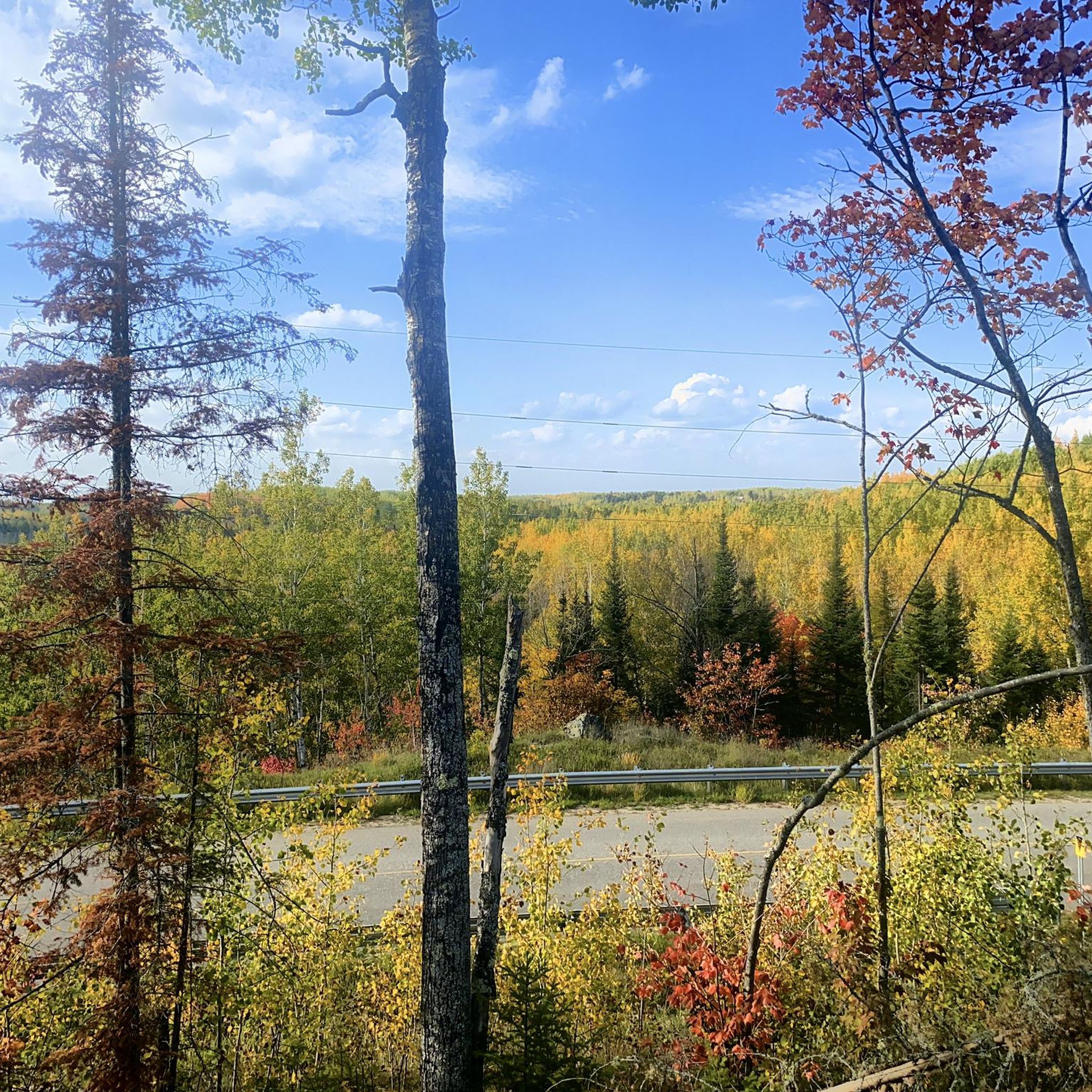
Ely is a key gateway town and a meeting point for several trails, including the Mesabi Trail, the NCT, and the Kekekabic Trail. It’s a convenient stop before or after heading into the Boundary Waters Wilderness. Stock up on trail gear or food, enjoy a meal at Insula or the Boat House Brewpub, and stretch your legs on the Trezona Trail around Miners Lake. If you have time, make the short trip to Kawishiwi Falls—it’s well worth it for the beautiful views and a welcome break from the long trail miles.
0
0

Armstrong Lake is a 382-acre lake, reaching depths of 34 feet, and is popular for fishing for largemouth bass, bluegill, northern pike, crappie, perch, pumpkinseed, rock bass, and smallmouth bass.
0
0
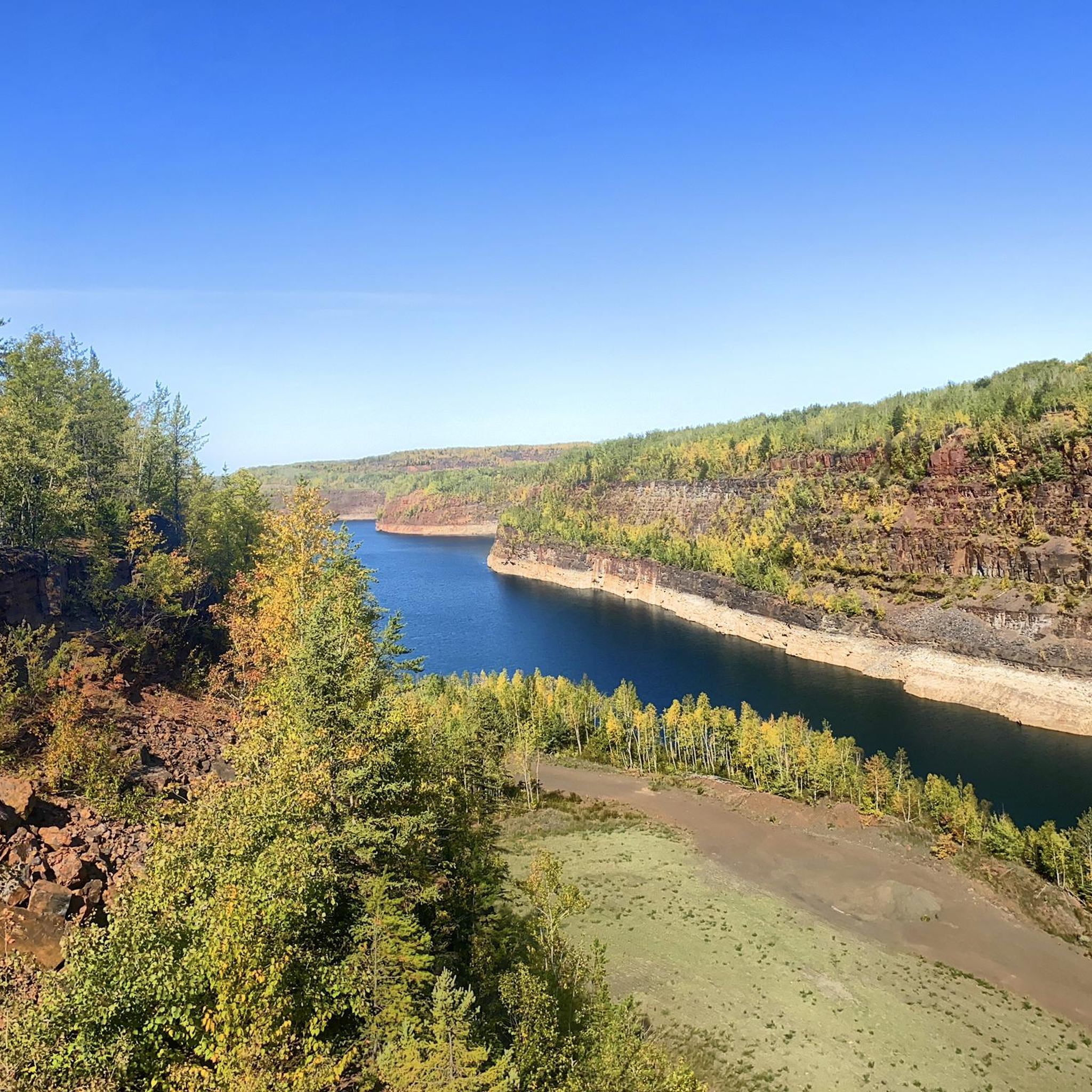
Lake Vermilion–Soudan Underground Mine State Park hosts a mix of industrial history and outdoor recreation. The historic Soudan Underground Mine State Park merged with the Lake Vermilion State Park in 2014 to create this 3,000-acre park along the southern shore of Lake Vermilion. Visitors can visit the Soudan Underground Mine, Minnesota's oldest and deepest iron mine, which reopened for tours in 2024 after extensive renovations.
0
0
The Pioneer Mine Shaft House is a part of the Ely Arts & Heritage Center, sitting directly across from the Grand Ely Lodge. This historic site gives visitors a look into Ely's mining history with exhibits of artifacts and photographs from the underground mine, which operated from 1889 until it closed its doors in 1967. The Shaft House is open to visitors from Memorial Day through Labor Day, with hours on Tuesdays from 2:00 PM to 5:00 PM and Fridays from 3:00 PM to 6:00 PM. Tours are led by guides, many of whom are former miners or have family ties to the mining community.
0
0
The eastern terminus of the Mesabi Trail in Ely marks one end of the 165-mile trail, which takes riders to Grand Rapids, Minnesota. If you hear howling, don't be alarmed; less than .1 mile away is the International Wolf Center.
0
0
Frequently Asked Questions
What kind of terrain can I expect when road cycling around Bear Island State Forest?
The region around Bear Island State Forest, part of the ancient Canadian Shield, offers a diverse landscape for road cycling. You'll encounter rolling topography, exposed rock formations, and extensive boreal forests with towering pines and firs. Routes often wind past numerous lakes, providing scenic views and varied terrain.
Are there road cycling routes suitable for beginners in this area?
While all the featured routes are classified as moderate, the broader area, particularly near Ely, offers accessible options. The Ely loop from Burntside Lake, at 24.6 miles, provides a good introduction to the region's boreal forests and lake shores. Additionally, the Trezona Trail Loop in Ely is a 4-mile mostly paved trail suitable for a more relaxed ride.
How many road cycling routes are available in the Bear Island State Forest area?
There are over 5 road cycling routes detailed in this guide for the Bear Island State Forest area, offering a range of experiences through the region's unique landscape.
What is the typical difficulty level of road cycling routes near Bear Island State Forest?
The road cycling routes highlighted in this guide are generally classified as moderate. This means they offer a good balance of challenge and enjoyment, often featuring rolling hills and varied distances suitable for cyclists with some experience.
Are there any longer road cycling routes for experienced riders?
Yes, for experienced riders looking for a longer challenge, the Jasper Peak – Lake Vermilion State Park loop from Tower is a great option. This route spans over 80 kilometers (approximately 50 miles) and features significant elevation changes, offering an extended exploration of the region's natural beauty.
Can I find circular road cycling routes in the Bear Island State Forest region?
Absolutely. All the road cycling routes featured in this guide are circular, allowing you to start and end your ride at the same point. Examples include the Jasper Peak – Lake Vermilion State Park loop from Armstrong River and the Lake Vermilion State Park – Jasper Peak loop from Armstrong Bay.
What scenic views or landmarks can I expect to see while road cycling here?
Road cycling in this area offers stunning views of the boreal forest, numerous lakes like Bear Island Lake and Lake Vermilion, and exposed rock formations characteristic of the Canadian Shield. You might also catch glimpses of the region's mining history, especially on trails like the Mesabi Trail near Ely, which traverses former mining landscapes.
When is the best time of year for road cycling in Bear Island State Forest?
The best time for road cycling in the Bear Island State Forest area is typically from late spring through early autumn. During these months, the weather is generally mild, and the natural scenery, from lush green forests to vibrant fall colors, is at its most beautiful. Winter brings snow, making it more suitable for cross-country skiing or snowmobiling.
Are there options for parking near the road cycling routes?
Yes, parking is generally available near the starting points of many routes, especially in and around towns like Ely, Babbitt, and Tower. For routes like those accessing the Mesabi Trail, designated parking areas are provided to accommodate cyclists.
Are the road cycling routes in Bear Island State Forest suitable for families?
While the featured routes are moderate, the broader region offers family-friendly options. The Trezona Trail Loop in Ely, a 4-mile mostly paved path circling Miners Lake, is an excellent choice for families looking for a pleasant and accessible ride. For longer rides, consider sections of the Mesabi Trail that are known for smooth pavement and scenic views.
What do other road cyclists enjoy the most about road cycling in Bear Island State Forest?
Road cyclists frequently praise the region's unique natural beauty, characterized by its extensive boreal forests, numerous pristine lakes, and the distinctive rolling topography of the Canadian Shield. The well-maintained paved trails, particularly the Mesabi Trail, are often highlighted for their smooth surfaces and scenic routes that offer both challenging climbs and enjoyable downhills.
Are there any cafes or places to eat near the road cycling trails?
Yes, the towns bordering Bear Island State Forest, such as Ely, Babbitt, and Tower, offer various amenities including cafes, restaurants, and places to refuel. Ely, in particular, is a popular hub with several dining options where you can enjoy a meal or a coffee before or after your ride.
Most popular routes in Bear Island State Forest

Get inspired with the komoot mobile app


Explore more
Browse the best Road cycling routes in other regions.
