The best running trails in Taconic Ridge State Forest
5.0
(2)
217
runners
40
runs
Jogging routes in Taconic Ridge State Forest traverse a 3,834-acre landscape characterized by extensive trail systems and diverse natural features. The region is defined by the Taconic Crest Trail, which offers continuous wilderness immersion along the ridge crest of the Taconic Mountains. Runners can experience varied terrain, from moderate forest loops to more challenging climbs, with elevations reaching nearly 3,000 feet at Berlin Mountain. The forest features mixed woodlands, including oak, hickory, and maple, providing dynamic and visually appealing environments…
Last updated: June 29, 2026
3
runners
12.7km
01:32
240m
240m
Moderate run. Good fitness required. Mostly paved surfaces. Suitable for all skill levels.
11
runners
7.12km
00:55
190m
190m
Moderate run. Good fitness required. Mostly paved surfaces. Suitable for all skill levels.

Sign up for free
3
runners
9.62km
01:05
90m
90m
Moderate run. Good fitness required. Mostly paved surfaces. Suitable for all skill levels.
7
runners
Hard run. Very good fitness required. Sure-footedness, sturdy shoes and alpine experience required.
7
runners
10.6km
01:07
90m
90m
Moderate run. Good fitness required. Mostly paved surfaces. Suitable for all skill levels.
Get access to more routes and recommendations from other explorers.
Sign up for free
Already have an account?
Our route recommendations are based on thousands of hikes, rides, and runs completed by other people on komoot.
Start today with a free account
Your next adventure awaits.
Login or Signup
Popular around Taconic Ridge State Forest
Tips from the Community

The 1753 House stands as a faithful reproduction of a settler's home from 1753 in The Berkshires. Situated in Field Park at Williamstown's west end, it was built by volunteers in 1953 to commemorate the town's Bicentennial. Early settlers in the Hoosac Valley, including Williamstown and North Adams, were obligated by contract to construct a house of specific dimensions and clear a designated amount of land to secure their lot. You can see the house from the roadside.
0
0

Great trail that runs through the Clark Art Institute. There are great views into the valley and you will come across some sculptures during your walk.
1
0

The Fitch Memorial Lands, located in Williamstown, Massachusetts, is a great small nature preserve with some nice hiking trails through the woods and open fields. This is a nice spot to keep an eye out for livestock and wildlife as you ride on Bee Hill Road. There is also a picnic table under a tree just off the parking area if you want a scenic spot to sip some water and eat a snack.
0
0

The beautiful Hoosic River runs through three states and is fed by streams from the Green Mountains of Vermont, the Taconics of New York and the lofty sides of Mount Greylock, the highest peak in Massachusetts (3,491 ft.). Its meandering journey travels 70 miles from where it begins at the Cheshire Reservoir in Massachusetts, to where it eventually enters the Hudson River at Stillwater, NY.
0
0

This 2,600-acre reserve is uniquely shared by three different states: Massachusetts, New York, and Vermont. It features approximately 15 miles of trails that offer a variety of options and scenic views in the area.
0
0

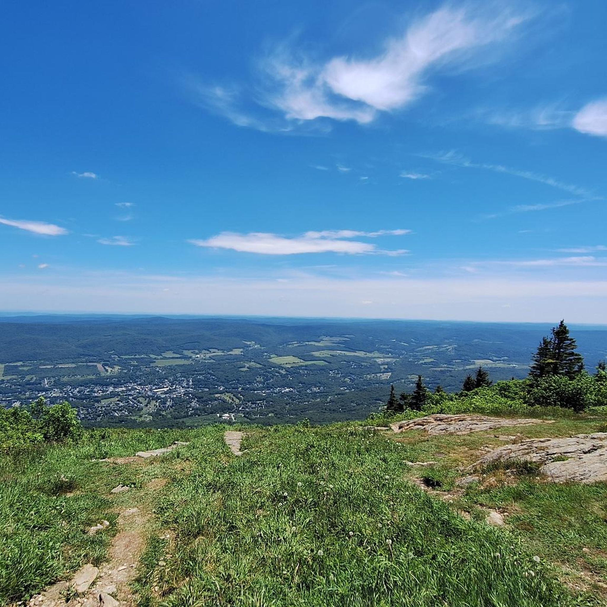
Wonderful view from the art hiking trail into the valley
0
1
Frequently Asked Questions
How many running routes are available in Taconic Ridge State Forest?
Taconic Ridge State Forest offers a wide selection of running routes, with over 45 trails available for you to explore. These range from easy forest paths to more challenging ascents.
Are there any easy or beginner-friendly jogging routes in the forest?
Yes, Taconic Ridge State Forest has routes suitable for beginners. While many trails are moderate, there are at least 2 routes classified as easy. These typically offer gentler terrain through scenic surroundings, such as the Running loop from Hancock Post Office.
What are the typical lengths and durations of running trails in Taconic Ridge State Forest?
Running routes in the forest vary in length and duration. For example, the Running loop from North Pownal is about 7.9 miles (12.7 km) and takes around 1 hour 31 minutes, while the Hopkins Memorial Forest loop from Williamstown is 4.4 miles (7.1 km) and can be completed in about 55 minutes.
Are there any loop jogging routes in Taconic Ridge State Forest?
Yes, many of the running routes in Taconic Ridge State Forest are designed as loops, providing a convenient way to start and end your run at the same point. Examples include the popular Running loop from North Pownal and the Running loop from Mount Greylock Regional School.
What kind of views or natural features can I expect on the running trails?
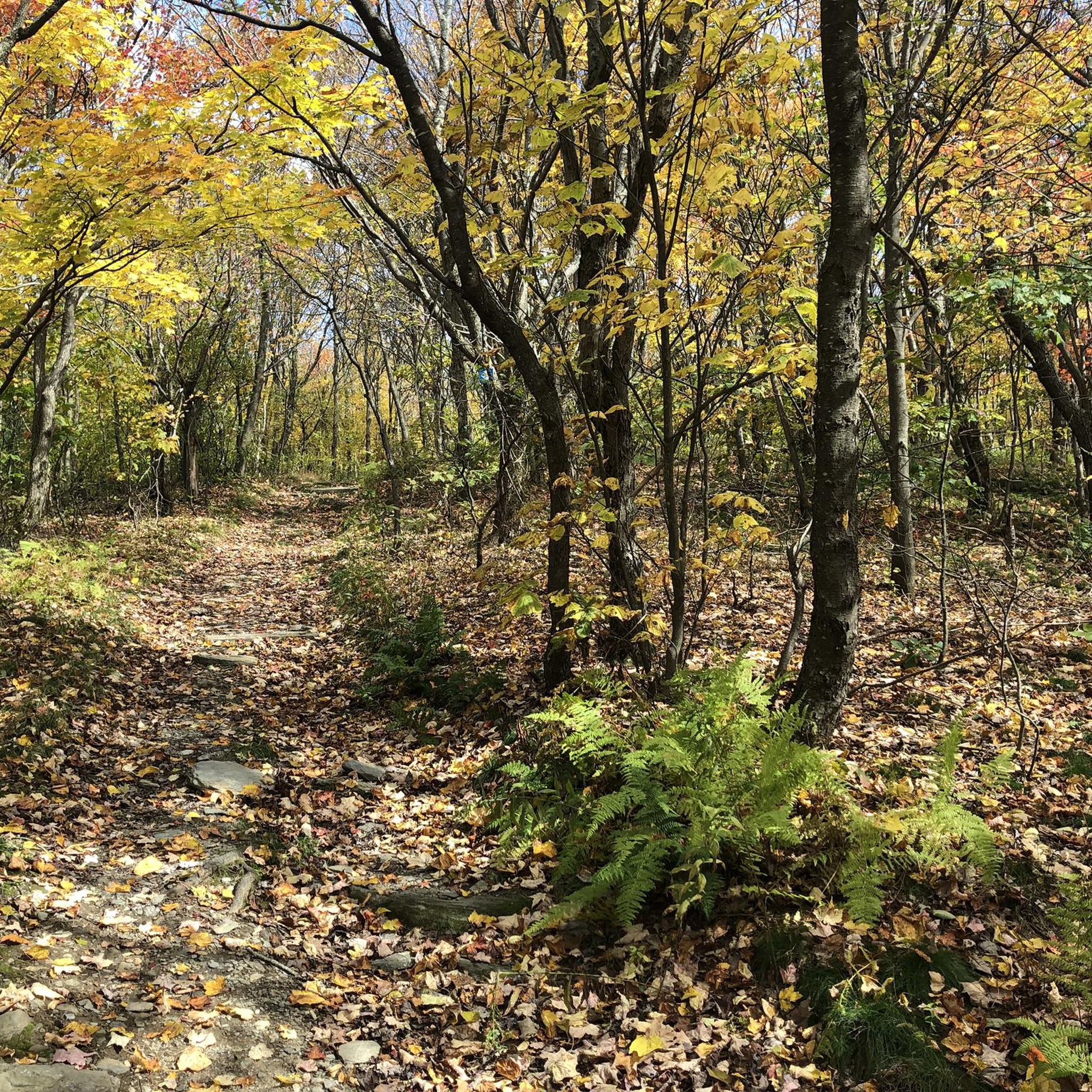
Joggers can enjoy diverse woodlands, including mixed oak-hickory and northern hardwood forests. Higher elevations, such as Berlin Mountain (reaching nearly 3,000 feet), offer panoramic views of the surrounding landscapes. A unique natural feature is The Snow Hole, a crevasse where snow can persist into summer.
Are the trails in Taconic Ridge State Forest dog-friendly?
Taconic Ridge State Forest is generally welcoming to dogs, but it's always best to keep your dog on a leash to protect wildlife and ensure a pleasant experience for all trail users. Please remember to clean up after your pet.
Are there family-friendly running routes in Taconic Ridge State Forest?
While the guide focuses on jogging, many of the moderate forest loops can be enjoyed by active families. Routes with gentler terrain and shorter distances, like the Running loop from Hancock Post Office, are good options for a family outing.
Where can I find parking for the trailheads in Taconic Ridge State Forest?
Parking is typically available at various trailheads throughout Taconic Ridge State Forest. Specific parking details can often be found on individual route pages or local park information. It's advisable to check the starting point of your chosen route for the most convenient parking options.
What do other runners say about jogging in Taconic Ridge State Forest?
The running routes in Taconic Ridge State Forest are highly rated by the komoot community, with an average score of 5.0 stars from 2 reviews. Runners often praise the varied terrain, from moderate forest loops to challenging climbs, and the immersive wilderness experience along the Taconic Crest Trail.
What are the seasonal conditions like for jogging in Taconic Ridge State Forest?
The forest offers a dynamic environment throughout the seasons. While some sections may be rocky, the diverse woodlands provide varied running surfaces. In winter, conditions can become challenging with snow and ice, especially at higher elevations. It's always recommended to check local weather and trail conditions before heading out.
Are there any cafes or places to eat near Taconic Ridge State Forest after a run?
While the forest itself is a wilderness area, towns surrounding Taconic Ridge State Forest, such as Williamstown or Hancock, may offer cafes and dining options where you can refuel after your run. It's a good idea to research local establishments in nearby communities.
Is public transportation available to Taconic Ridge State Forest?
Access to Taconic Ridge State Forest is primarily by car, as public transportation options directly to the trailheads are limited. Planning for personal vehicle use or carpooling is generally recommended for reaching the forest's various access points.
Are there any particularly challenging running routes for experienced joggers?
Yes, for experienced runners seeking a challenge, Taconic Ridge State Forest offers routes with significant elevation gain. The Taconic Crest Trail itself provides continuous wilderness immersion with challenging ascents, reaching nearly 3,000 feet at Berlin Mountain. An example of a more difficult route is The Clark Art Institute loop from Mount Greylock Regional School.
Most popular routes in Taconic Ridge State Forest

Get inspired with the komoot mobile app


Explore more
Browse the best Running Trails & Routes in other regions.
