The best walks and hikes in Yellowwood State Forest
4.8
(60)
875
hikers
76
hikes
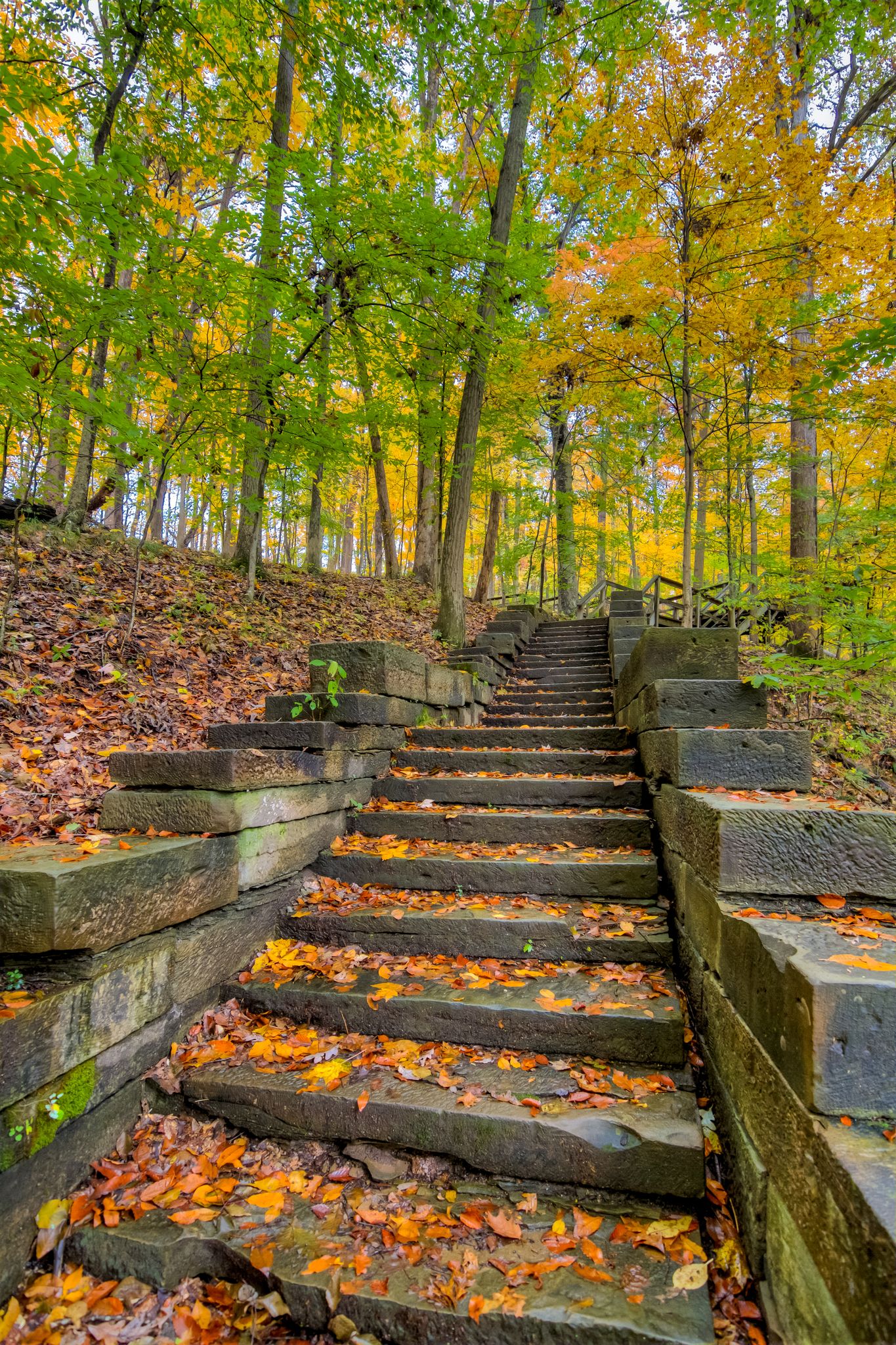
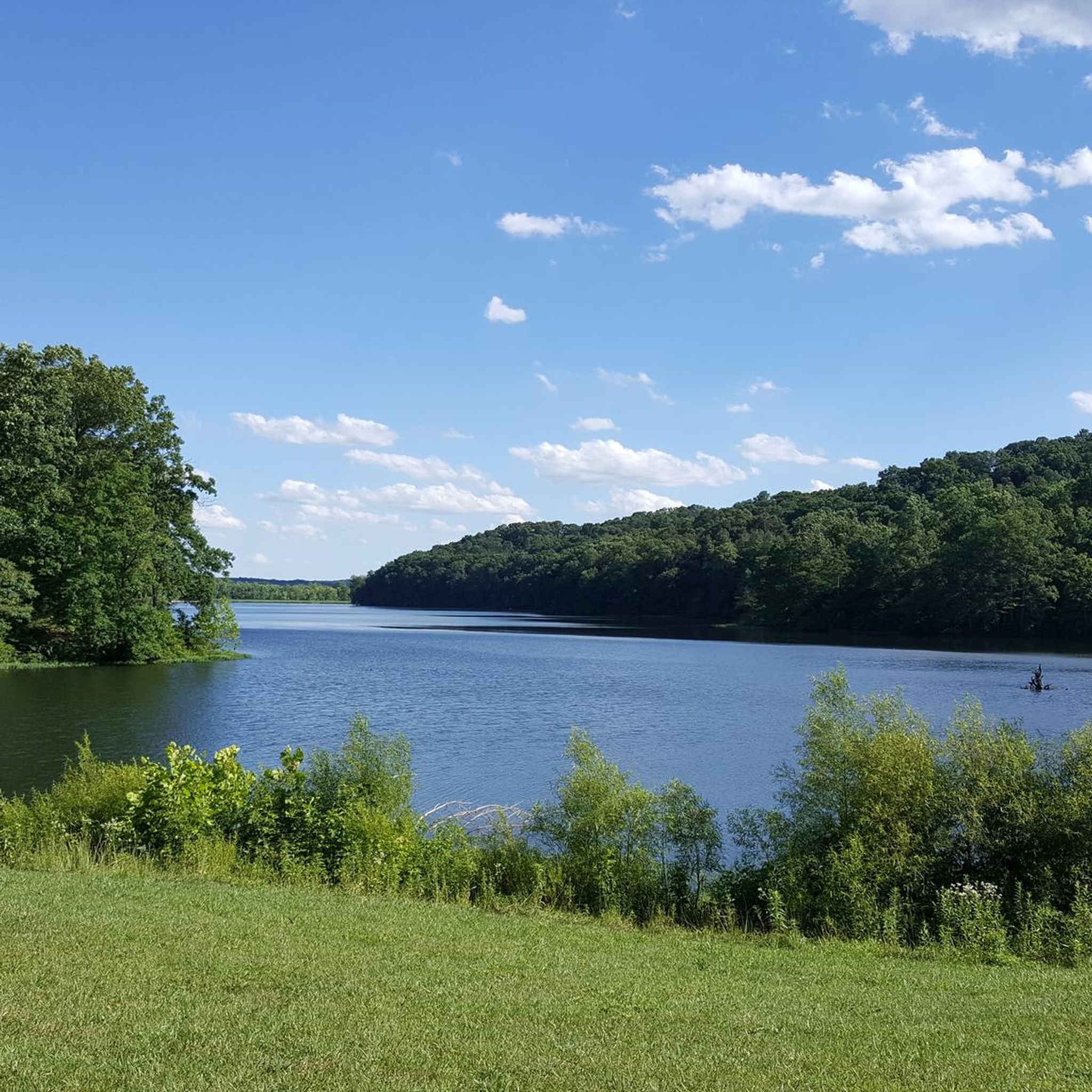
Hikes in Yellowwood State Forest explore the rolling hills and deep valleys of Brown County, Indiana. The region is characterized by its rugged terrain, with trails winding through oak-hickory and mixed hardwood forests. The 133-acre Yellowwood Lake is a central feature, with many routes situated around its shores and surrounding ravines.
Best hiking trails in Yellowwood State Forest
- The most popular hiking route is Yellowwood Lake loop — Yellowwood State Forest, a 4.5 mile (7.2 km) trail that takes…
Last updated: October 10, 2026
5.0
(1)
10
hikers
7.54km
02:05
130m
130m
Embark on the Scarce O' Fat Trail, a moderate hike spanning 4.7 miles (7.5 km) through the Southern Indiana hardwood forests of Yellowwood State Forest. You will gain 437 feet…
4
hikers
16.0km
04:25
270m
270m
Embark on the Hesitation, Aynes, Bobcat Loop for a moderate hiking adventure that covers 10.0 miles (16.0 km) with an elevation gain of 872 feet (266 metres). You can expect…

4.0
(2)
2
hikers
7.03km
01:54
90m
100m
The Bartley Ridge, Lucas Hollow, and Tecumseh Trail Loop offers a genuine immersion into Indiana's hilly, wooded terrain. You'll experience a mix of elevated ridge walks and secluded hollows, with…
8.65km
02:22
160m
110m
Embark on the Horse Trail Y and SY Loop, a moderate hike spanning 5.4 miles (8.6 km) with an elevation gain of 520 feet (159 metres), typically taking about 2…
1.01km
00:17
20m
20m
The Jackson Creek Trail offers a wonderfully accessible and easy hiking experience in Bloomington, perfect for a quick escape into nature. This flat, asphalt-surfaced path guides you across Jackson Creek…
Get access to more routes and recommendations from other explorers.
Already have an account?
Our route recommendations are based on thousands of hikes, rides, and runs completed by other people on komoot.
Start today with a free account
Your next adventure awaits.



Other adventures in Yellowwood State Forest

Tips from the Community

Nice place for camping, cycling and hanging out with family and friends
1
0

A tower built with a stone base, and log cabin-style construction above that provides views in all directions over the park.
0
0

Hesitation Point is the name of both a peak and an official overlook pullout right off of West Gate Entrance Road. This point has an elevation of 1,003 feet and you can get additional views of the area from the trail that leaves from this parking area.
0
0

Yellowwood State Forest sees far fewer visitors than its neighbor Brown County State Park, so you're likely to experience a fair bit of solitude while hiking on one of the many trails located within the 23,300-acre property. The highlight of the forest is Yellowwood Lake, but many of the forested hills offer views and woodland scenes of their own.
0
0
A tower built with a stone base, and log cabin style construction above that that provides views in all directions over the park.
0
0
Great climb (or descent) to a classic overlook of the park especially when the leaves are turning color in the fall.
0
0
Frequently Asked Questions
Are dogs allowed on the hiking trails in Yellowwood State Forest?
Yes, dogs are welcome in Yellowwood State Forest but must be kept on a leash at all times. The trails offer plenty of space for you and your canine companion to explore the wooded hills and ravines.
Are there any easy, family-friendly hikes in the forest?
Absolutely. The forest has several trails suitable for families and hikers of all ages. A great option is the Ogle Lake loop — Brown County State Park, a short and relatively flat 1.3-mile (2.1 km) walk around the scenic Ogle Lake, which is perfect for little legs.
What are the trail conditions like during winter?
Winter hiking in Yellowwood State Forest can be a beautiful and quiet experience. The trails can become muddy, icy, or snow-covered, so proper waterproof footwear with good traction is essential. The bare trees also open up new views across the valleys that are hidden during other seasons.
Can I go backpacking or find long-distance trails in the area?
Yes, for those seeking a longer challenge, Yellowwood State Forest is a gateway to the Tecumseh Trail. This 42-mile trail connects to Morgan-Monroe State Forest, traversing rugged ridgetops and hollows. Primitive, dispersed camping is permitted along sections of the trail for a true backpacking experience.
Is there an entrance fee for Yellowwood State Forest?
There is typically no daily entrance fee for Yellowwood State Forest, making it an accessible option for a day of hiking. However, fees are required for activities like camping or boat launching. It's always a good idea to check the official Indiana DNR website for the most current information before your visit.
What is the hiking like in Yellowwood State Forest compared to Brown County State Park?
Both offer fantastic hiking in the rolling hills of Brown County, but with a different feel. Yellowwood State Forest is known for a more rustic and rugged experience with primitive facilities. Brown County State Park is larger and more developed, often with more amenities. For a challenging hike that showcases the area's terrain, consider the Crooked Creek Trail Loop, a nearly 6-mile (9.5 km) moderate route.
Where can I find a trail map for the forest?
While komoot provides detailed digital maps for each route, you can also find an official map of the forest's trail system. A downloadable PDF map is available from the Indiana Department of Natural Resources, which you can find here: Yellowwood State Forest Trail Map.
Are there any interpretive or self-guided trails?
Yes, the forest has two self-guided interpretive trails. The Jackson Creek Trail is an easy 1.5-mile path that teaches you about the various habitats you're walking through. There is also the Resource Management Trail, a 1-mile loop that offers insights into local forest management practices.
What do other hikers enjoy most about Yellowwood State Forest?
The area is highly rated by the komoot community. Hikers often praise the forest's rugged, unglaciated terrain and the serene atmosphere, especially around Yellowwood Lake. The feeling of being immersed in a rustic, natural landscape away from crowds is a frequently mentioned highlight.
How many hiking trails are in Yellowwood State Forest?
You can find over 50 different hiking routes in and around Yellowwood State Forest on komoot. These range from easy lakeside strolls to more strenuous, moderate treks through the hills, offering plenty of options for every skill level.
Is there a good trail for seeing scenic overlooks?
For great views, the West Overlook loop via Trail 8 is an excellent choice. This 4.2-mile (6.8 km) hike leads to a scenic overlook, providing rewarding views of the surrounding forested landscape of Brown County.
What kind of wildlife might I see while hiking?
Yellowwood State Forest is a rich habitat for wildlife. As a designated stop on the Indiana Birding Trail, it's a great place for birdwatching, especially during spring and fall migrations. You might also spot whitetail deer, wild turkey, squirrels, and foxes while exploring the trails.
Most popular routes in Yellowwood State Forest

Get inspired with the komoot mobile app


Explore more
Browse the best Hikes in other regions.
