The best road cycling routes in Enders State Forest
5.0
(14)
274
riders
46
rides
Road cycling routes in Enders State Forest traverse a diverse landscape characterized by dense tree canopies, wetlands, and hilly terrain. The forest spans over 2,000 acres, with elevations ranging from approximately 900 feet to over 1,100 feet above sea level. This varied topography creates a network of streams, offering a scenic backdrop for road cyclists. The area provides routes with mostly well-paved surfaces, suitable for various fitness levels.
Best road cycling routes in Enders State Forest
- The most popular road…
Last updated: July 2, 2026
58.0km
02:50
660m
660m
Moderate road ride. Good fitness required. Mostly well-paved surfaces and easy to ride.
11
riders
36.4km
01:45
330m
330m
Moderate road ride. Good fitness required. Mostly well-paved surfaces and easy to ride.

Sign up for free
12
riders
Hard road ride. Very good fitness required. Some segments of this route may be unpaved and difficult to ride.
2
riders
49.0km
02:22
480m
480m
Moderate road ride. Good fitness required. Mostly well-paved surfaces and easy to ride.
12
riders
49.4km
02:17
270m
270m
Moderate road ride. Good fitness required. Mostly well-paved surfaces and easy to ride.
Get access to more routes and recommendations from other explorers.
Sign up for free
Already have an account?
Our route recommendations are based on thousands of hikes, rides, and runs completed by other people on komoot.
Start today with a free account
Your next adventure awaits.
Login or Signup
Popular around Enders State Forest

Tips from the Community

The Farmington River winds through the hills and valleys of northwestern Connecticut, offering a mix of serene landscapes and lively rapids. Known for its clear waters and rich history, the river has long been a favorite for kayaking, fly fishing, and tubing. It flows through quaint towns and dense woodlands, providing both a habitat for wildlife and a peaceful retreat for locals and visitors alike. With its roots in glacial melt and centuries of human use, the Farmington tells a quiet but powerful story of nature and community.
0
0

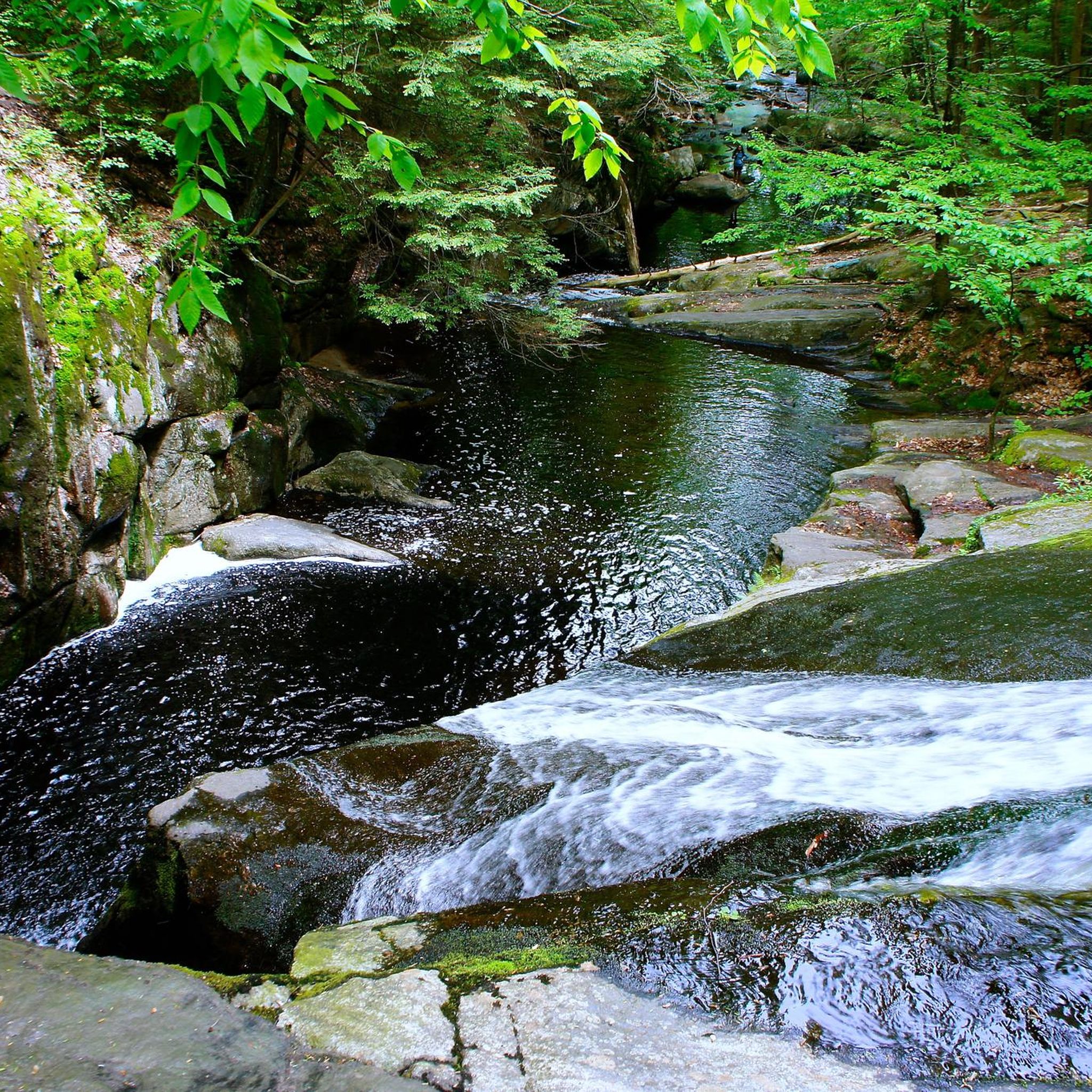
This is the entrance to the path that has multiple waterfalls on it. The path that leads to the falls is not suitable for a bike, but it is worth taking a break, finding a spot to leave the bike, and walking to visit the falls.
0
0

Tuller Reservoir in the Meadow Pond area is a great fishing spot, nestled in a green area of the Appalachian Mountains. Fish species like Yellow bullhead, Largemouth Bass and Channel catfish have been caught here.
0
0

The Farmington Canal Heritage Trail is over 80 miles in each direction and follows the path of an old railroad line. It's a great spot for biking and is suitable for pretty much all tire widths. This section near Simsbury connects to some of the other trails in town and passes through a few of the city's parks.
0
0
This is the entrance to the path that has multiple waterfalls on it. The path that leads to the falls is not suitable for a road bike, but it is worth taking a break, finding a spot to leave the bike and walking to visit the falls.
0
0
This is one of several bridges that are part of the Farmington River Trail. From this bridge, there are great views of the Farmington River.
0
0

Departing from Westfield River at the northern part of the namesake town, the trail heads south to connect itself with the Farmington Canal Heritage Trail, which will lead you to the East Coast Greenway after 36 miles. Passing mainly through crop's landscapes, parks and some towns, its different path from the road offers a joyful cycle over the pavement.
0
0

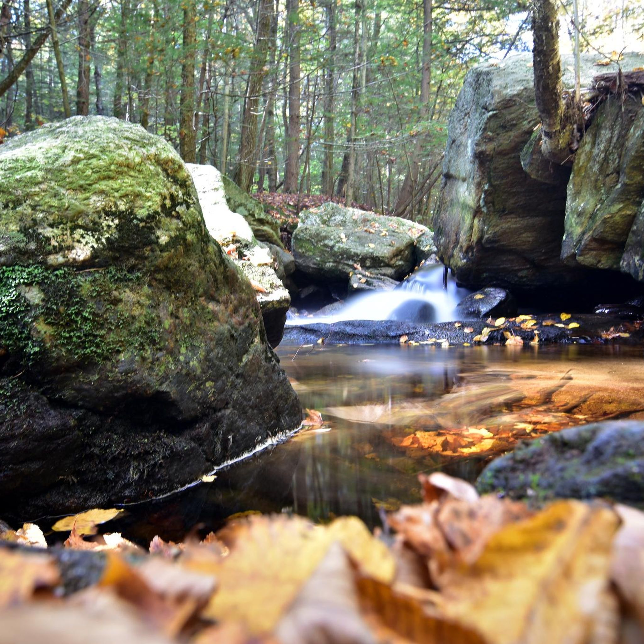
There are a number of waterfalls to explore along the trail here. The fast flowing water over smooth rock makes for an impressive site. A good spot for some long exposure photography of the water features.
0
0
Frequently Asked Questions
What types of road cycling routes can I find in Enders State Forest?
Enders State Forest offers a diverse range of road cycling routes, catering to various fitness levels. You'll find routes with varying difficulties, from moderate to difficult, traversing hilly terrain, dense tree canopies, and wetlands. The surfaces are generally well-paved, making them suitable for road bikes.
How many road cycling routes are available in Enders State Forest?
There are over 50 road cycling routes available in and around Enders State Forest, offering a wide selection for different preferences and skill levels.
Are there any family-friendly or beginner road cycling routes in the area?
Yes, Enders State Forest provides options for various skill levels. While many routes feature significant elevation, there are 15 routes classified as 'easy' and 37 as 'moderate' within the broader selection, which can be suitable for families or beginners looking for less strenuous rides. These routes often feature mostly well-paved surfaces.
What are the typical distances and elevation gains for road cycling routes here?
Route distances vary significantly. For example, the Seville Dam loop from East Hartland is a moderate 22.4 miles (36.1 km) with about 1,998 feet (609 meters) of elevation gain. Longer, more challenging routes like the West Hartford Reservoir No. 1 – View of the Farmington River loop from Simsbury Center Historic District span 62.1 miles (99.9 km) with an elevation gain of 3,215 feet (980 meters).
What natural attractions can I see while road cycling in Enders State Forest?
The forest is renowned for its natural beauty, particularly its five distinct waterfalls along Enders Brook. While road cycling, you'll experience diverse landscapes including dense tree canopies, wetlands, and hilly terrain, especially vibrant during autumn foliage. The varied topography also creates a network of streams feeding into the west branch of the Salmon River.
What do other road cyclists say about the routes in Enders State Forest?
The road cycling routes in Enders State Forest are highly rated by the komoot community, with an average score of 5.0 stars from 9 reviews. Cyclists often praise the varied terrain, scenic beauty, and generally well-paved surfaces that make for an enjoyable ride.
Is Enders State Forest suitable for advanced road cyclists seeking a challenge?
Absolutely. Enders State Forest offers routes with significant elevation gains and longer distances that will challenge experienced riders. For instance, the West Hartford Reservoir No. 1 – View of the Farmington River loop from Simsbury Center Historic District is a difficult 62.1-mile route with nearly 3,215 feet of climbing, providing a robust workout.
Are there any circular road cycling routes available?
Yes, many of the popular road cycling routes in the area are loops. Examples include the Barkhamsted to Simsbury loop and the Carpenter Pond – Tuller Reservoir loop from Simsbury Center Historic District, allowing you to start and finish at the same point.
What is the best time of year to go road cycling in Enders State Forest?
The vibrant foliage in autumn makes it a particularly beautiful time for road cycling in Enders State Forest. However, the generally well-paved surfaces make routes enjoyable throughout the spring, summer, and early fall, weather permitting.
Are dogs allowed on the road cycling routes in Enders State Forest?
While Enders State Forest is generally dog-friendly for hiking, specific regulations for dogs on road cycling routes can vary. It's always best to check local signage or the official Connecticut Department of Energy and Environmental Protection (DEEP) website for the most current guidelines regarding pets on paved roads and trails within the state forest.
Where can I find parking for road cycling in Enders State Forest?
Enders State Forest has designated parking areas for visitors. For specific route starting points, you can often find parking near trailheads or in nearby towns like Simsbury or East Hartland, depending on your chosen route. Always check the route details on komoot for recommended parking spots.
Are there any cafes or places to stop for refreshments near the road cycling routes?
While Enders State Forest itself is a natural area, many road cycling routes extend into or pass through nearby towns such as Simsbury and East Hartland. These towns offer various amenities, including cafes and shops, where you can stop for refreshments. Planning your route with komoot can help identify such points of interest.
Most popular routes in Enders State Forest

Get inspired with the komoot mobile app


Explore more
Browse the best Road cycling routes in other regions.
