The best cycling routes in Nathan Hale State Forest
4.8
(26)
180
riders
16
rides
Touring cycling in Nathan Hale State Forest offers a diverse landscape characterized by rolling hills, varied forest ecosystems, and a network of dirt and gravel roads. The forest encompasses 1,529 acres, featuring both old-growth and second-growth hardwoods, along with streams and Creaser Pond. While many trails are suited for mountain biking, the presence of dirt and gravel roads, as well as paved town roads on the periphery, provides options for touring cyclists. This region combines natural beauty with historical significance,…
Last updated: October 15, 2026
18
riders
Moderate bike ride. Good fitness required. Mostly paved surfaces. Suitable for all skill levels.
5.0
(3)
23
riders
77.1km
06:23
390m
390m
Hard bike ride. Very good fitness required. Mostly paved surfaces. Suitable for all skill levels.

12
riders
27.1km
02:20
110m
110m
Moderate bike ride. Good fitness required. Mostly paved surfaces. Suitable for all skill levels.
10
riders
17.0km
01:34
100m
100m
Easy bike ride. Great for any fitness level. Mostly paved surfaces. Suitable for all skill levels.
7
riders
87.5km
06:42
480m
480m
Hard bike ride. Very good fitness required. Mostly paved surfaces. Suitable for all skill levels.
Get access to more routes and recommendations from other explorers.
Already have an account?
Our route recommendations are based on thousands of hikes, rides, and runs completed by other people on komoot.
Start today with a free account
Your next adventure awaits.



Tips from the Community

The Air Line State Park Trail in Connecticut is a rail trail and linear state park that is a part of the East Coast Greenway. There are several sections including: South (25 miles from East Hampton to Windham), North (21 miles from Windham to Putnam), Thompson addition (6.6 miles from Thompson to the Massachusetts state line), and an additional 3.6-mile spur to Colchester. Recognized as a national recreation trail by the U.S. Department of the Interior in 2002, it offers scenic routes for hiking and biking. This southern section of the trail near East Hampton is a gravel crushed trail that is great to ride on its own, or to access singeltrack in the nearby Salmon River Forest.
0
0

At the junction of the Airline Trail and Natchaug Trail in James L. Goodwin State Forest, hikers have two enticing options. Following the Natchaug Trail leads deeper into the forest, eventually reaching the serene Black Spruce Pond. Alternatively, continuing along the Airline Trail provides beautiful views of the 135-acre Pine Acres Lake. Both routes offer unique scenic experiences, showcasing the diverse beauty of the forest.
0
0

Gateway to many gnarly mtb trails and the gravel/dirt roads of eastern CT
0
0

The James L. Goodwin State Forest is a Connecticut state forest that spans around 2,000 acres. The land was donated by James L. Goodwin to the state in 1964. This forest can be seen along the East Coast Greenway near Pine Acres Lake.
0
0

This park runs alongside the Willimantic River, providing scenic views of the water. On the opposite side, there are train tracks where you can occasionally observe interesting carts passing by.
0
0
The Airline State Park Trail is divided into sections, and the northern section spans 21 miles from Windham to Putnam, making it a popular rail trail among hikers, runners, and bikers.
0
0
The East Coast Greenway is a paved multi-use path that passes through 15 states and is over 3,000 miles long from Maine to Florida.
0
0
The James L. Goodwin State Forest is a Connecticut state forest that spans around 2,000 acres. The land was donated by James L. Goodwin to the state in 1964. This forest can be seen along the East Coast Greenway near Pine Acres Lake.
0
1
Frequently Asked Questions
How many touring cycling routes are available in Nathan Hale State Forest?
Based on komoot data, there are over 15 touring cycling routes in the area, offering a range of distances and difficulties suitable for touring cyclists.
What kind of terrain can I expect on touring cycling routes in Nathan Hale State Forest?
The forest offers a diverse landscape. While some trails are more suited for mountain biking with technical features, touring cyclists can find dirt and gravel roads, as well as paved town roads on the periphery. Routes like Hop River State Trail loop from Andover utilize dedicated state trails, offering a consistent surface. More robust touring bikes or gravel bikes are recommended for interior dirt and gravel paths.
Are there any family-friendly touring cycling routes in Nathan Hale State Forest?
Yes, the forest offers routes suitable for various skill levels. For a less challenging experience, look for routes that utilize dedicated state trails or less rugged forest roads. The presence of dirt and gravel roads, as well as paved roads on the periphery, provides options for families. Creaser Park, within the forest, also offers recreational amenities.
Can I bring my dog on the touring cycling routes?
Creaser Park, a 57-acre parcel within Nathan Hale State Forest, is leased to the Town of Coventry and is known to be a dog-friendly area. For other trails, it's generally advisable to keep dogs on a leash and check local regulations for specific trail access.
Are there any circular touring cycling routes in the area?
Yes, many of the touring cycling routes in and around Nathan Hale State Forest are designed as loops. For example, the Old Andover Cemetery loop from Andover and the Hop State Park Trail – Andover Memorial Bridge loop from Andover are popular circular options.
What historical sites or natural attractions can I see while cycling?
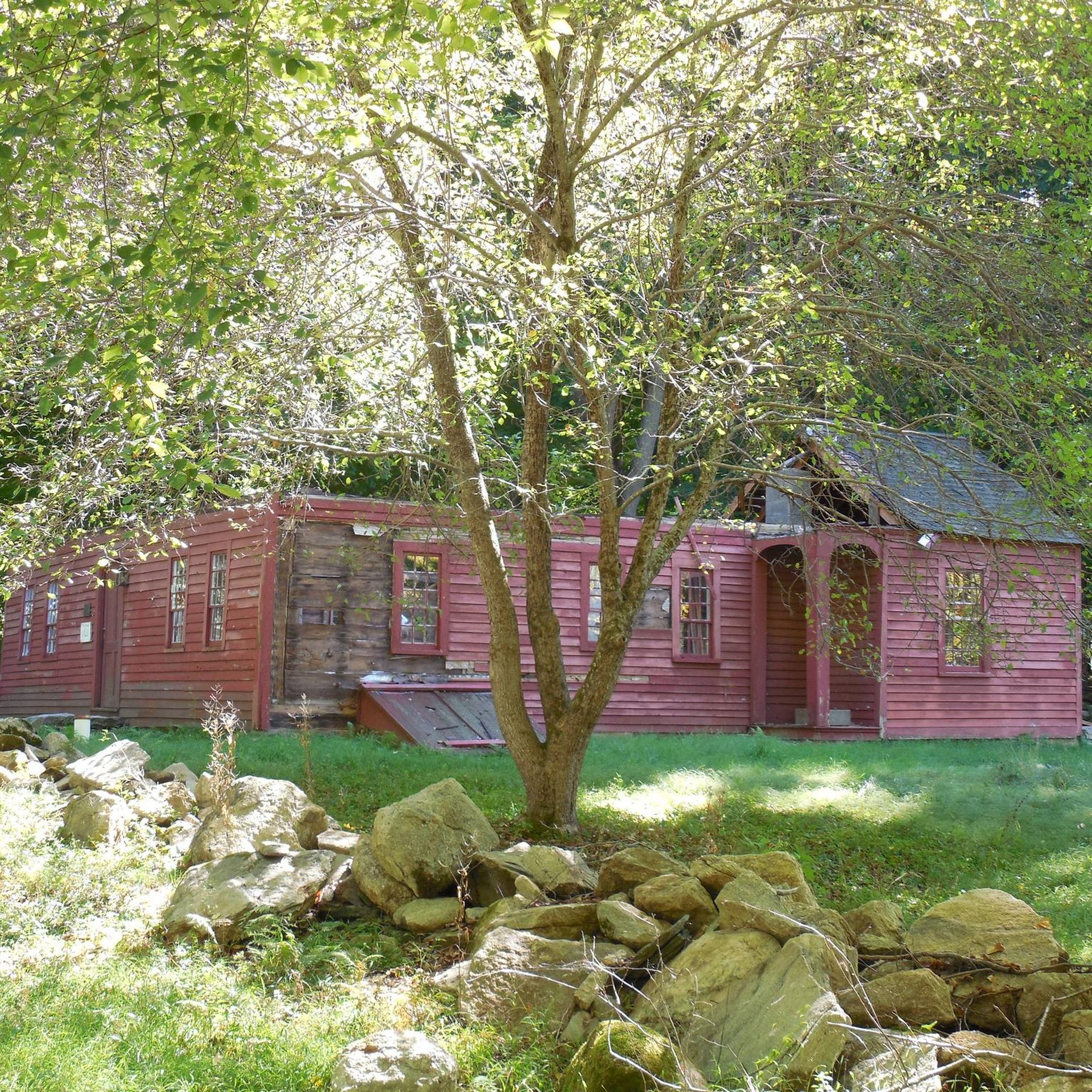
Nathan Hale State Forest is rich in both natural beauty and historical significance. You can explore diverse forest ecosystems, including hemlock and white cedar, and discover historical remains like old foundations, wells, and stone walls. The forest also surrounds the historic Nathan Hale Homestead and is near the Strong-Porter House. Water features like the Skungamaug River and Creaser Pond are also present.
What is the best time of year to go touring cycling in Nathan Hale State Forest?
The New England landscape, with its diverse forest ecosystems, offers beautiful scenery throughout the seasons. Spring and fall are generally ideal for cycling due to milder temperatures and vibrant foliage. However, trail conditions can vary, so it's always good to check local weather before heading out.
Where can I park when visiting Nathan Hale State Forest for cycling?
While specific parking areas for bike trails are not detailed in the provided information, the forest has frontage along several asphalt town roads, including Seagraves Road, South River Road, and South Street in Coventry. Visitors typically find parking access points near trailheads or designated recreational areas within or adjacent to the forest.
What do other touring cyclists enjoy most about cycling in Nathan Hale State Forest?
The area is highly rated by the komoot community, with an average score of 5.0 stars from 10 reviews. Reviewers often praise the diverse forest ecosystems, rolling hills, and the blend of natural beauty with historical features. The variety of routes, from less challenging dirt roads to longer trails, is also frequently highlighted.
Are there any longer touring cycling routes for experienced riders?
Yes, for more experienced touring cyclists looking for a challenge, routes like the East Coast Greenway – James L. Goodwin State Forest loop from Andover offer a significant distance of over 87 km and are rated as difficult, providing a substantial ride through varied landscapes.
Can I spot wildlife while cycling in the forest?
Nathan Hale State Forest is managed, in part, for wildlife habitat, offering opportunities for wildlife viewing. Rare species like the Eastern Box Turtle and bobcats have been reported in the region, and bird migrations contribute to the area's biodiversity. Cyclists often encounter various birds and other forest animals.
Are there any routes that connect to other state parks or trails?
Yes, some routes in Nathan Hale State Forest connect to nearby state parks and utilize dedicated state trails. For instance, the Hop River State Trail loop from Andover and the East Coast Greenway – James L. Goodwin State Forest loop from Andover are examples of routes that integrate with broader trail networks.
Most popular routes in Nathan Hale State Forest

Get inspired with the komoot mobile app


Explore more
Browse the best Cycling routes in other regions.
