The best walks and hikes around Woodhall Loch
4.7
(48)
361
hikers
27
hikes
Hiking around Woodhall Loch offers a network of trails in Dumfries and Galloway, centered around the loch itself. The region features a mix of lochside paths, surrounding woodlands, and gentle hills. These natural elements provide varied terrain for outdoor activities.
Best hiking trails around Woodhall Loch
- The most popular hiking route is View of Loch from Viaduct – View of the Stream loop from Mossdale, a 6.5 miles (10.5 km) trail that takes 2 hours 47 minutes to complete. This moderate route offers views of the loch and a stream.
- Another top favourite among local hikers is View of Loch from Viaduct loop from Mossdale, an easy 3.1 miles (5.1 km) path. This route provides scenic views of the loch from a viaduct.
- Local hikers also love the Downhill Run loop from Mossdale, a 5.2 miles (8.4 km) trail leading through varied terrain, often completed in about 2 hours 15 minutes.
- Hiking around Woodhall Loch is defined by lochside paths, woodlands, and gentle inclines. The network offers options for different ability levels, from easy strolls to more challenging moderate routes.
- The routes in Woodhall Loch are highly rated by the komoot community with an average score of 4.7 stars from over 30 reviews. More than 200 hikers have used komoot to explore Woodhall Loch's varied terrain.
Last updated: October 12, 2026
4.5
(6)
23
hikers
10.5km
02:48
100m
100m
Moderate hike. Good fitness required. Easily-accessible paths. Suitable for all skill levels.
5.0
(4)
19
hikers
5.05km
01:20
50m
50m
Easy hike. Great for any fitness level. Easily-accessible paths. Suitable for all skill levels.

4.7
(3)
12
hikers
8.41km
02:15
100m
100m
Moderate hike. Good fitness required. Easily-accessible paths. Suitable for all skill levels.
4.0
(1)
8
hikers
21.6km
05:41
180m
180m
Hard hike. Very good fitness required. Easily-accessible paths. Suitable for all skill levels.
3
hikers
6.89km
01:53
110m
110m
Easy hike. Great for any fitness level. Easily-accessible paths. Suitable for all skill levels.
Get access to more routes and recommendations from other explorers.
Already have an account?
Our route recommendations are based on thousands of hikes, rides, and runs completed by other people on komoot.
Start today with a free account
Your next adventure awaits.
Tips from the Community

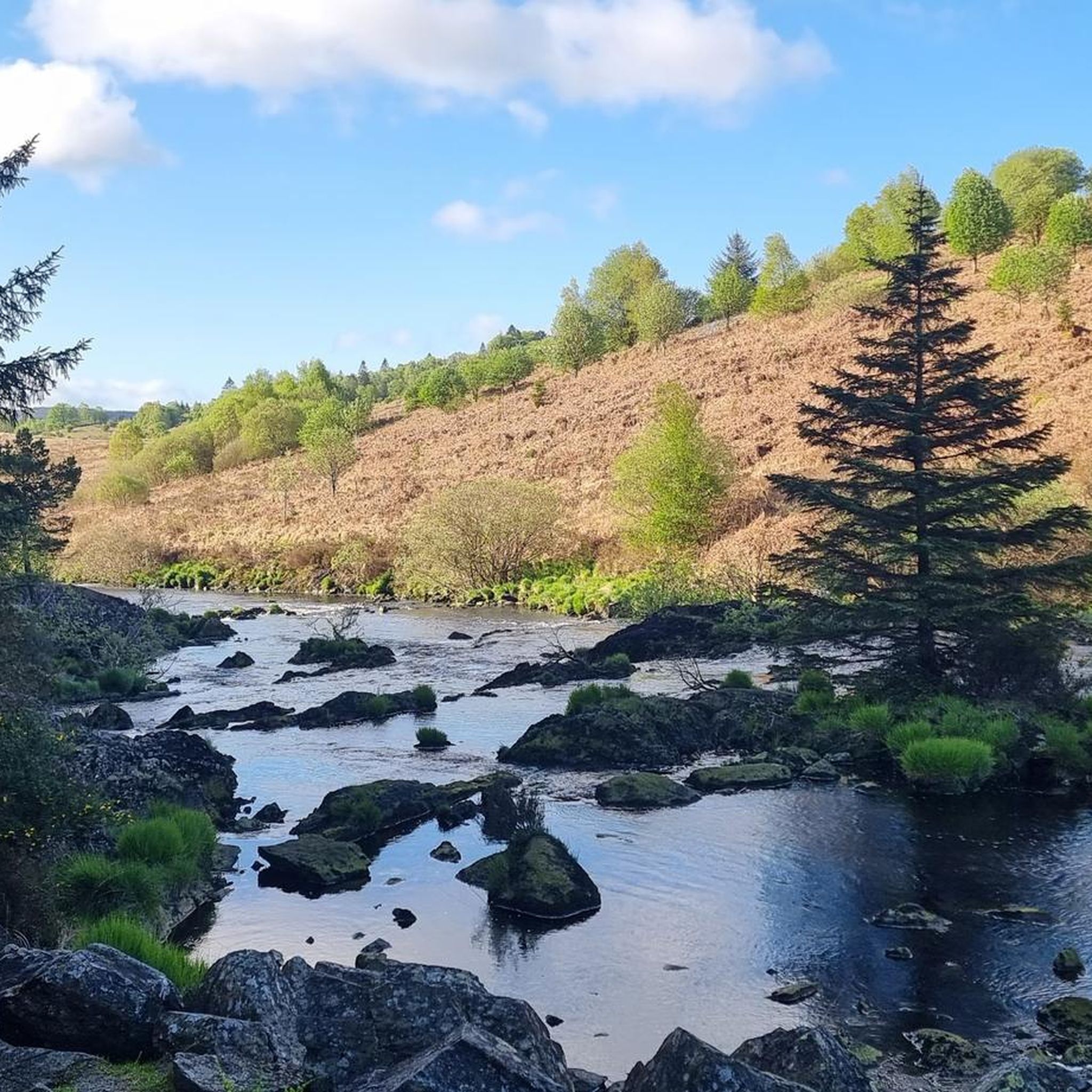
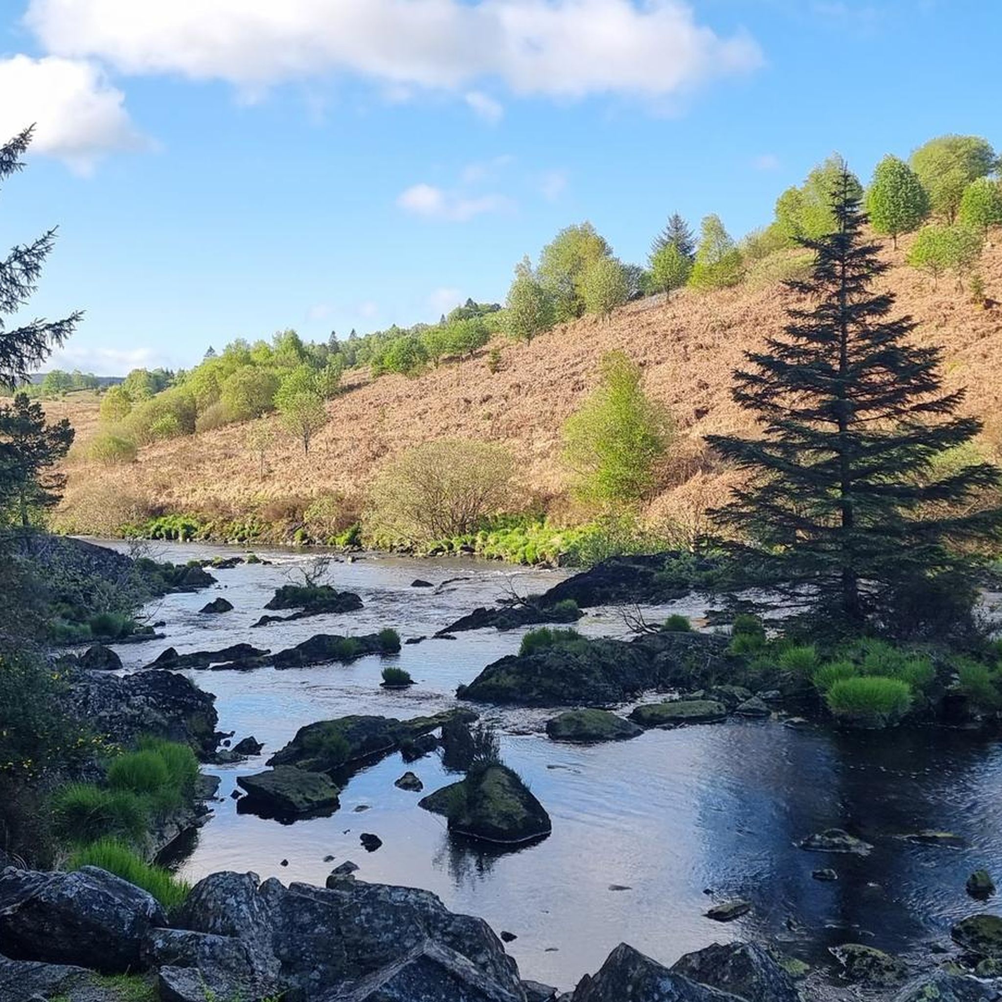
A very nice place to cool your feet in the babbling stream on a summer day
0
0

another terrain shot to help you decide on tyres/bikes for the route
0
0

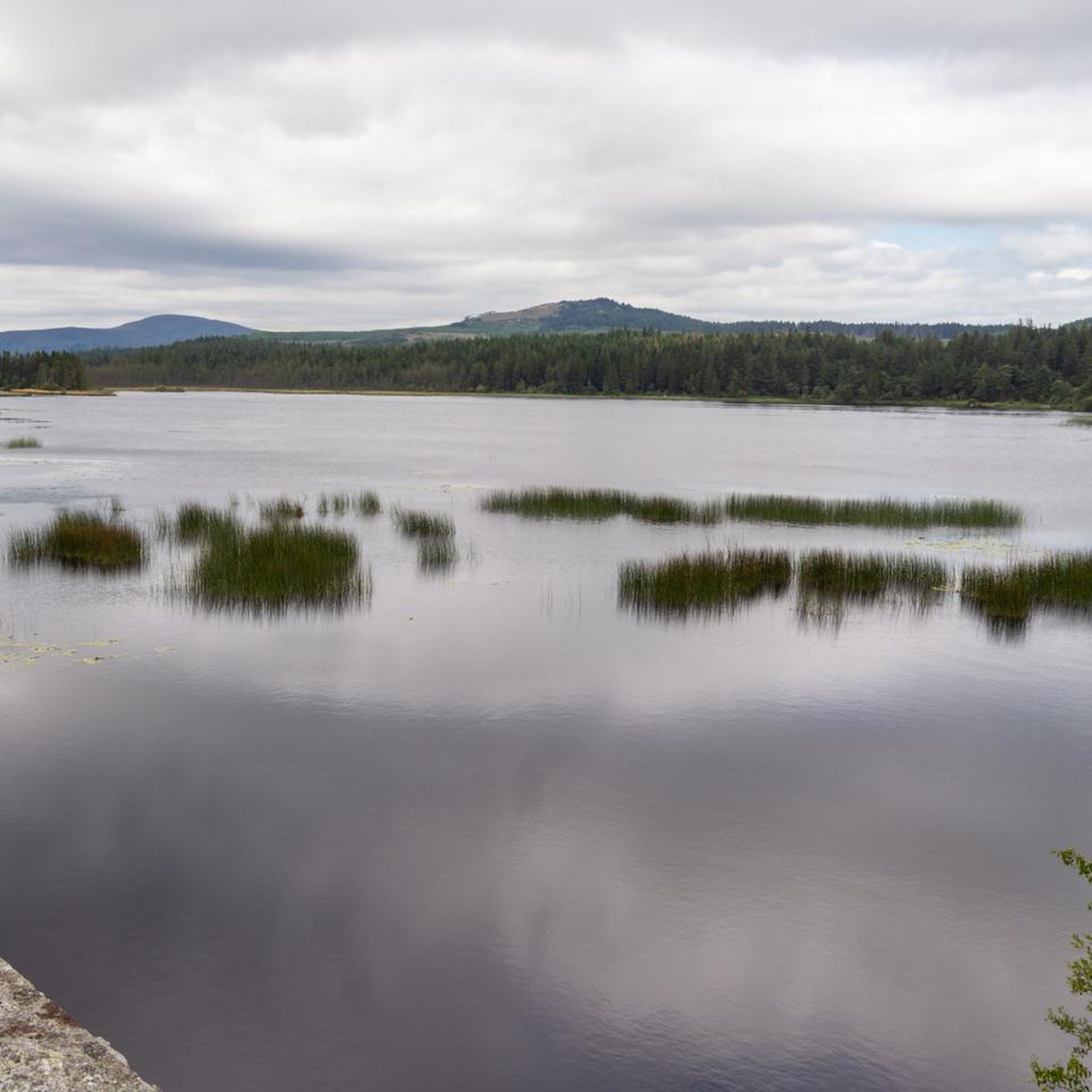
Only one of two benches on this walk but this one faces Mossdale Loch. Take a seat for a few minutes and relax.
0
0
Frequently Asked Questions
How many hiking trails are available around Woodhall Loch?
There are over 25 hiking trails around Woodhall Loch, offering a variety of options for different skill levels and preferences. The komoot community has explored these routes over 200 times.
What types of terrain can I expect on hikes around Woodhall Loch?
The trails around Woodhall Loch feature a mix of lochside paths, surrounding woodlands, and gentle hills. This provides varied terrain, from easy strolls to more moderate routes with slight inclines.
Are there easy hiking options suitable for beginners or casual walkers in Woodhall Loch?
Yes, Woodhall Loch offers plenty of easy hiking options. There are 16 easy routes available, such as the View of Loch from Viaduct loop from Mossdale, which is 3.1 miles (5.1 km) long and provides scenic views from a viaduct.
What do other hikers say about the trails in Woodhall Loch?
The trails in Woodhall Loch are highly rated by the komoot community, with an average score of 4.7 stars from over 30 reviews. Hikers often praise the scenic views of the loch and the peaceful woodland paths.
Are there any circular hiking routes around Woodhall Loch?
Many of the routes around Woodhall Loch are designed as loops, allowing you to start and end at the same point. For example, the View of Loch from Viaduct – View of the Stream loop from Mossdale is a moderate 6.5-mile (10.5 km) circular trail.
Can I bring my dog on the hiking trails around Woodhall Loch?
Yes, dogs are generally welcome on the hiking trails around Woodhall Loch. However, please ensure your dog is kept under control, especially near livestock or wildlife, and always clean up after your pet to preserve the natural environment for everyone.
Are the trails around Woodhall Loch suitable for families with children?
Many of the trails, particularly the easier and shorter loop options, are well-suited for families with children. The varied scenery of lochside and woodland paths offers an engaging experience for younger hikers. Consider routes like the View of Loch from Viaduct loop from Mossdale for a family-friendly outing.
What is a good moderate hike for someone looking for a bit more challenge?
For a moderate challenge, consider the Small Bridge Over the Stream – Loch View Café loop from Laurieston. This 8.1-mile (13.1 km) route involves about 686 feet (209 meters) of elevation gain and offers diverse scenery.
What kind of wildlife might I see while hiking near Woodhall Loch?
Woodhall Loch and its surrounding woodlands are home to various wildlife. You might spot common woodland birds, waterfowl on the loch, and potentially deer or red squirrels, especially in quieter areas.
Are there any facilities or cafes near the hiking routes?
While specific cafes directly on the trails are limited, the nearby villages and towns in the Dumfries and Galloway region offer various amenities, including cafes and shops, where you can find refreshments before or after your hike.
What is the best time of year to hike around Woodhall Loch?
The best time to hike around Woodhall Loch is typically from spring through autumn (April to October) when the weather is milder and the paths are generally drier. Spring brings blooming wildflowers, while autumn offers beautiful foliage.
Are there any longer hiking routes for experienced hikers?
While most routes are easy to moderate, some longer options exist. The Small Bridge Over the Stream – Loch View Café loop from Laurieston, at 8.1 miles (13.1 km), is one of the longer moderate routes available, offering a more extended exploration of the area.
Most popular routes around Woodhall Loch

Get inspired with the komoot mobile app


Explore more
Browse the best Hikes in other regions.
