The best walks and hikes around Sirač
4.8
(9)
37
hikers
2
hikes
Hiking around Sirač offers diverse natural landscapes where the Bijela and Pakra rivers emerge from the Papuk and Ravna Gora mountain massifs. The region features pristine beech woods, serene woodlands, and river valleys. Trails lead through varied terrain, including peaks like Vrani Kamen, which provides panoramic views over western Slavonia.
Best hiking trails around Sirač
- The most popular hiking route is Omanovac Mountain Lodge loop from Pakrac Grad, a 10.7 miles (17.2 km) difficult trail that takes 5 hours…
Last updated: July 1, 2026
4.8
(4)
23
hikers
17.2km
05:13
570m
570m
Hard hike. Very good fitness required. Easily-accessible paths. Suitable for all skill levels.
4.5
(4)
12
hikers
15.4km
04:39
480m
480m
Moderate hike. Good fitness required. Easily-accessible paths. Suitable for all skill levels.

Sign up for free
5.0
(1)
2
hikers
12.7km
04:02
480m
480m
Moderate hike. Good fitness required. Easily-accessible paths. Suitable for all skill levels.
Our route recommendations are based on thousands of hikes, rides, and runs completed by other people on komoot.
Start today with a free account
Your next adventure awaits.
Login or Signup
Popular around Sirač
Tips from the Community

The Kalvarija forest is located on the southeastern edge of the city of Pakrac and was artificially raised, i.e. planted, at the beginning of the 20th century, probably between 1910 and 1920. The majority of Kalvarija's forest composition consists of oak, linden, and hornbeam trees. The symbol of Kalvarija are the Three Crosses erected on an elevation above the city, which existed here even before the planting of the forest itself. The crosses were placed and the site arranged by the parish priest of Pakrac, Ivan Dvojak, in 1802. At this place, the procession traditionally ended on Good Friday, starting from the Church of the Assumption of the Blessed Virgin Mary. As Kalvarija was occupied during the Homeland War, the Three Crosses were mined, as was the entire forest area. In 2011, the forest was demined, and the City of Pakrac and the Pakrac Tourist Board plan the final arrangement of the forest and the change of its status to a Forest Park. A very beautiful and pleasant trail passes through the Kalvarija forest.
0
0
Markovac is a place in the Kalvarija forest where there is a water spring and a chapel dedicated to the Mother of God of Lourdes, built in 1808. There is a legend about Markovac that says a blind man named Marko came to the spring, drank the water, and washed himself, after which he regained his sight. Since then, the spring has been called Markovac after him. For many years, Markovac was a place where people, besides enjoying nature, sought blessings and healing. Water springs have been mythical and sacred places throughout history, and girls from the nearby village of Prekopakra used to walk to the spring on Palm Sunday and wash themselves in this water. Until 1991, Markovac was visited by Catholic believers on the feast of the Name of Mary, September 12th. The place is pleasant and the spring has a constant, steady flow.
0
0
The monument „Golubica“ for killed and missing civilians executed during the great-Serbian aggression at the end of Ulice 105. brigade in the southern Pakrac vineyards, erected by the Ministry in 2001. Nearby is a memorial plaque with the names of all 17 killed civilians and three who are still missing. From this place there is a beautiful view of the Omanovac mountain lodge, and on the other side towards Pakrac, Prekopakru and in the distance Moslavačka gora.
0
0
The "Golubica" monument to killed and missing civilians at the end of 105th Brigade Street in the southern Pakrac vineyards, erected by the Ministry in 2001. Nearby is a memorial plaque with the names of all 17 killed civilians and three who are still listed as missing.
0
0

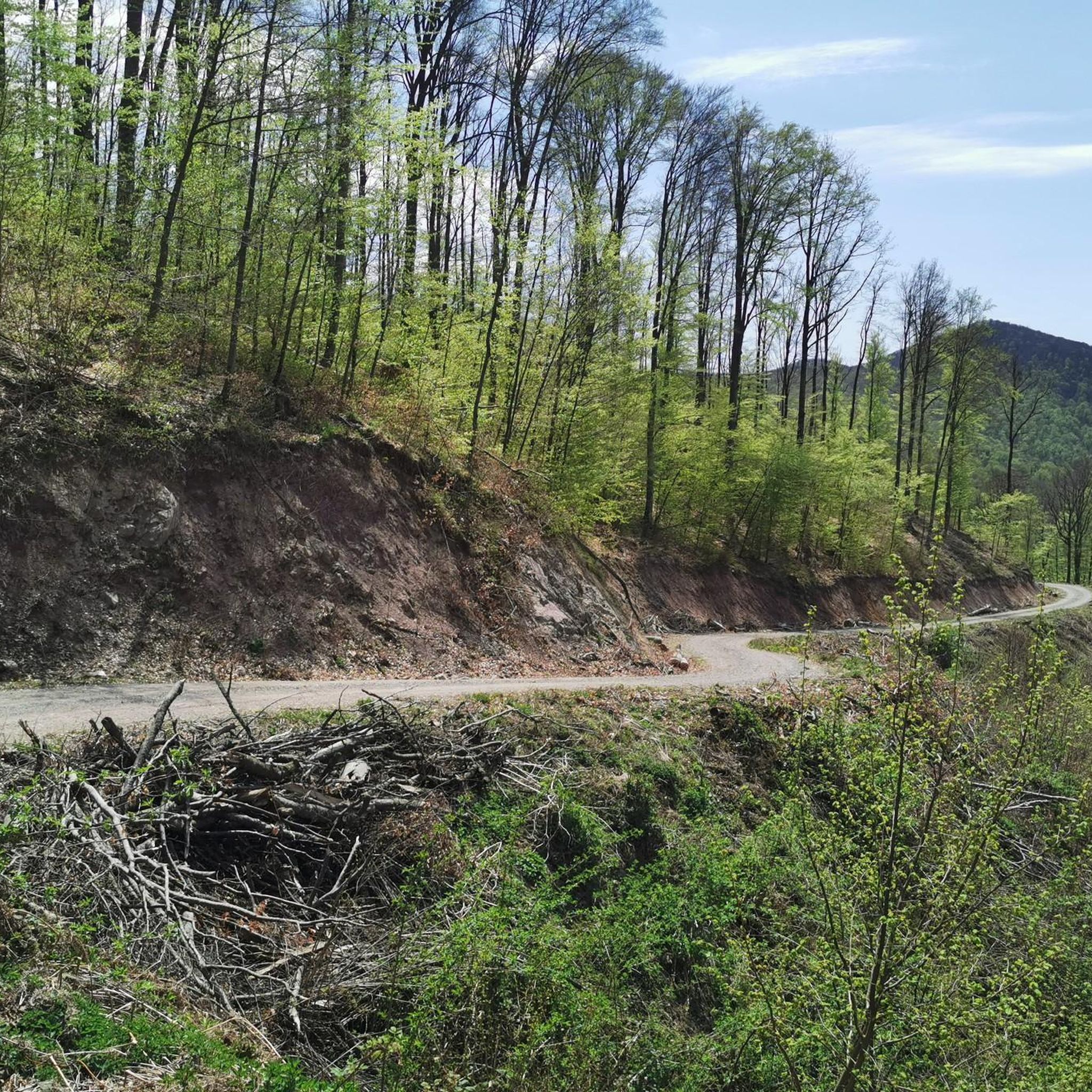
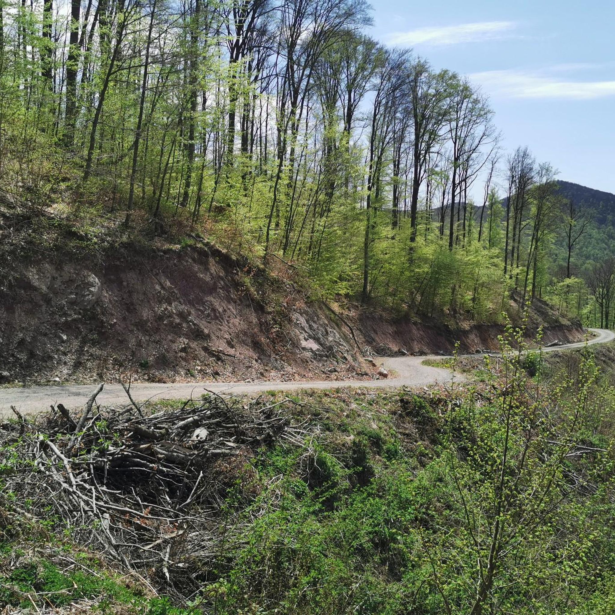
A beautiful clearing in the middle of a dense forest, an ideal place for a short break. The clearing offers a wonderful view of the surrounding nature, and is located just before the most demanding part of the climb to Crni vrh - a steep segment with a slope that in some parts reaches around 40%.
0
0

Great food and a playground for children right next to the house.
1
0
A masonry geodetic column built of stone 15 meters high, which represents the top of the Crow Stone (833m).
1
0
The top is rocky
0
0
Frequently Asked Questions
Are there family-friendly hiking options in Sirač?
Yes, Sirač offers a variety of trails suitable for families. The region's serene Sirač Valley, with its gentle slopes and vibrant flora, is ideal for leisurely walks. While specific easy routes aren't detailed in the provided data, the overall network includes paths for different ability levels, suggesting accessible options for families.
Can I bring my dog on the hiking trails in Sirač?
The region of Sirač, being part of the Papuk and Ravna Gora mountain massifs, generally welcomes dogs on trails, especially in natural areas. However, it's always recommended to keep dogs on a leash and check for any specific local regulations or protected areas that might have restrictions.
What kind of natural landscapes can I expect to see while hiking in Sirač?
Hikers in Sirač will encounter diverse natural landscapes, including pristine beech woods, serene woodlands, and the valleys of the Bijela and Pakra rivers. The trails often lead through mountainous terrain, offering panoramic views from peaks like Vrani Kamen, which overlooks western Slavonia.
Are there any waterfalls accessible via hiking trails in Sirač?
Yes, the region boasts natural attractions such as the Skakavac waterfall. Specific hiking routes, like those via Grofova poučna staza, provide access to this beautiful water feature, making it a rewarding destination for hikers.
What are the best times of year to go hiking in Sirač?
Sirač offers year-round hiking opportunities. The mild winters allow for exploration, while warm summers are ideal for longer excursions. Spring and autumn provide pleasant temperatures and vibrant scenery, making them excellent choices for experiencing the region's natural beauty.
Are there any circular hiking routes in Sirač?
Yes, Sirač features several circular routes. For example, the Omanovac Mountain Lodge loop from Pakrac Grad is a challenging 10.7-mile (17.2 km) trail. Another option is the moderate Lom Peak (887 m) – Točak Observation Tower loop from Novo Zvečevo, offering views from Lom Peak.
What historical or cultural sites can I explore near the hiking trails?
Hikers can explore the historical Old Town Sirač, a medieval Turkish fortress dating back to the 14th century, strategically located where the Bijela river emerges from the Papuk massif. The area also features newly discovered caves within its gulch, hinting at ancient origins. You can find more information about the Old Town at visitdaruvar.hr.
How can I get to the hiking trailheads in Sirač using public transport?
While Sirač is well-known for its extensive trail network, specific public transportation options directly to all trailheads may be limited. It's advisable to check local bus schedules or consider private transport for direct access to more remote starting points. The main town of Sirač serves as a central point.
Is parking available at the Sirač hiking trailheads?
Parking availability varies by trailhead. For popular routes or those starting near villages, you can often find designated parking areas. For more remote trails, roadside parking might be an option, but it's always best to check local signage and respect private property.
What is the general difficulty level of hiking trails in Sirač?
The hiking trails in Sirač cater to a range of abilities. You'll find options from moderate paths to more challenging routes. For instance, the Clearing With a Beautiful View – Vrani Kamen loop from Ljutoč is a moderate 7.9-mile (12.7 km) trail, while the Omanovac Mountain Lodge loop from Pakrac Grad is considered difficult.
What do other hikers say about their experience in Sirač?
The komoot community highly rates the hiking experience in Sirač, with an average score of around 4.7 stars from numerous reviews. Hikers often praise the diverse terrain, the beauty of the beech woods, and the panoramic views from peaks like Vrani Kamen.
Are there options for longer, more challenging hikes in the Sirač area?
Absolutely. Sirač is part of a larger connected hiking network spanning western Papuk, offering more demanding treks. The Omanovac Mountain Lodge loop from Pakrac Grad, for example, is a difficult 10.7-mile (17.2 km) route with significant elevation gain, exploring the mountainous interior.
Where can I find refreshments or accommodation after a hike in Sirač?
After a hike, you can find traditional Croatian hospitality in local farms and villages, some of which may offer home-cooked meals. The nearby town of Daruvar also provides a wider range of cafes, pubs, restaurants, and accommodation options for visitors.
Most popular routes around Sirač

Get inspired with the komoot mobile app


Explore more
Browse the best Hikes in other regions.
