The best walks and hikes around Općina Kula Norinska
4.2
(116)
967
hikers
19
hikes
Hiking around Općina Kula Norinska offers diverse trails through a landscape characterized by the Neretva River delta, nearby lakes, and coastal influences. The region features a mix of flat paths around water bodies and moderate ascents to viewpoints and historical sites. These hiking trails provide opportunities to explore both natural attractions like waterfalls and cultural landmarks.
Best hiking trails around Općina Kula Norinska
- The most popular hiking route is View of Oćuša – Baćina Lakes loop from Ploče, a 7.0 miles (11.2 km) trail that takes 2 hours 58 minutes to complete. This moderate route offers views of the Baćina Lakes.
- Another top favourite among local hikers is View of Kravica Waterfalls – View of the Waterfalls loop from Kravica Waterfall, an easy 1.9 miles (3.0 km) path. This trail provides access to the Kravica Waterfalls.
- Local hikers also love the Kravica Waterfall Parking – View of the Waterfalls loop from Kravica Waterfall, a 0.8 miles (1.3 km) trail leading through the immediate vicinity of the waterfalls, often completed in about 24 minutes.
- Hiking around Općina Kula Norinska is defined by river delta paths, lake views, and waterfall trails, with options ranging from easy, short walks to moderate, longer routes. The network offers options for different ability levels, including easy hikes Općina Kula Norinska.
- The routes in Općina Kula Norinska are highly rated by the komoot community with an average score of 4.3 stars from over 100 reviews. More than 900 hikers have used komoot to explore Općina Kula Norinska's varied terrain.
Last updated: July 8, 2026
3.9
(35)
159
hikers
11.2km
02:58
110m
110m
Moderate hike. Good fitness required. Easily-accessible paths. Suitable for all skill levels.
3.7
(9)
94
hikers
Easy hike. Great for any fitness level. Easily-accessible paths. Suitable for all skill levels.

Sign up for free
4.3
(3)
156
hikers
Easy hike. Great for any fitness level. Easily-accessible paths. Suitable for all skill levels.
4.9
(9)
59
hikers
8.84km
03:28
600m
600m
Moderate hike. Good fitness required. Mostly accessible paths. Sure-footedness required.
2.5
(2)
3
hikers
12.6km
03:40
330m
330m
Moderate hike. Good fitness required. Easily-accessible paths. Suitable for all skill levels.
5.0
(1)
12
hikers
5.79km
02:05
340m
340m
Moderate hike. Good fitness required. Easily-accessible paths. Suitable for all skill levels.
5
hikers
Easy hike. Great for any fitness level. Easily-accessible paths. Suitable for all skill levels.
10
hikers
2.94km
00:51
80m
80m
Easy hike. Great for any fitness level. Easily-accessible paths. Suitable for all skill levels.
5.0
(2)
11
hikers
10.4km
02:58
240m
240m
Moderate hike. Good fitness required. Easily-accessible paths. Suitable for all skill levels.
6
hikers
4.63km
01:18
90m
90m
Easy hike. Great for any fitness level. Easily-accessible paths. Suitable for all skill levels.
Get access to more routes and recommendations from other explorers.
Sign up for free
Already have an account?
Our route recommendations are based on thousands of hikes, rides, and runs completed by other people on komoot.
Start today with a free account
Your next adventure awaits.
Login or Signup
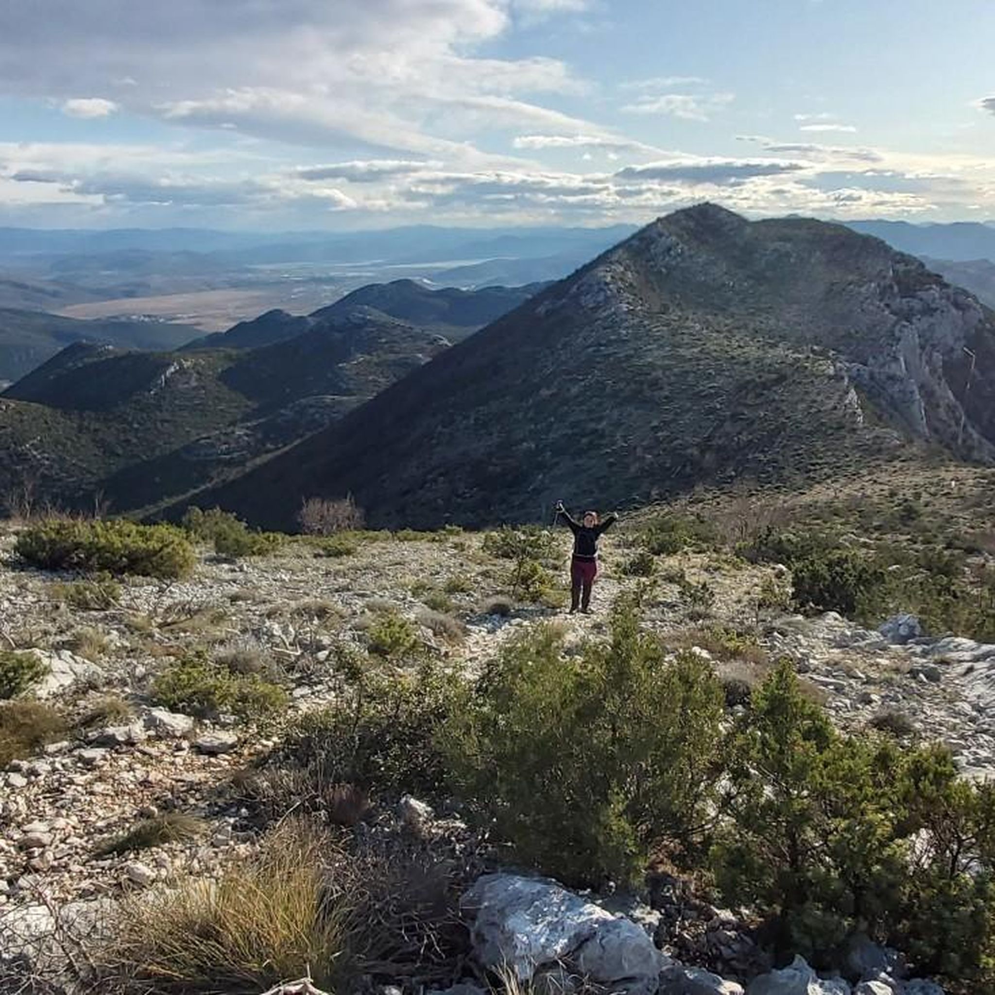
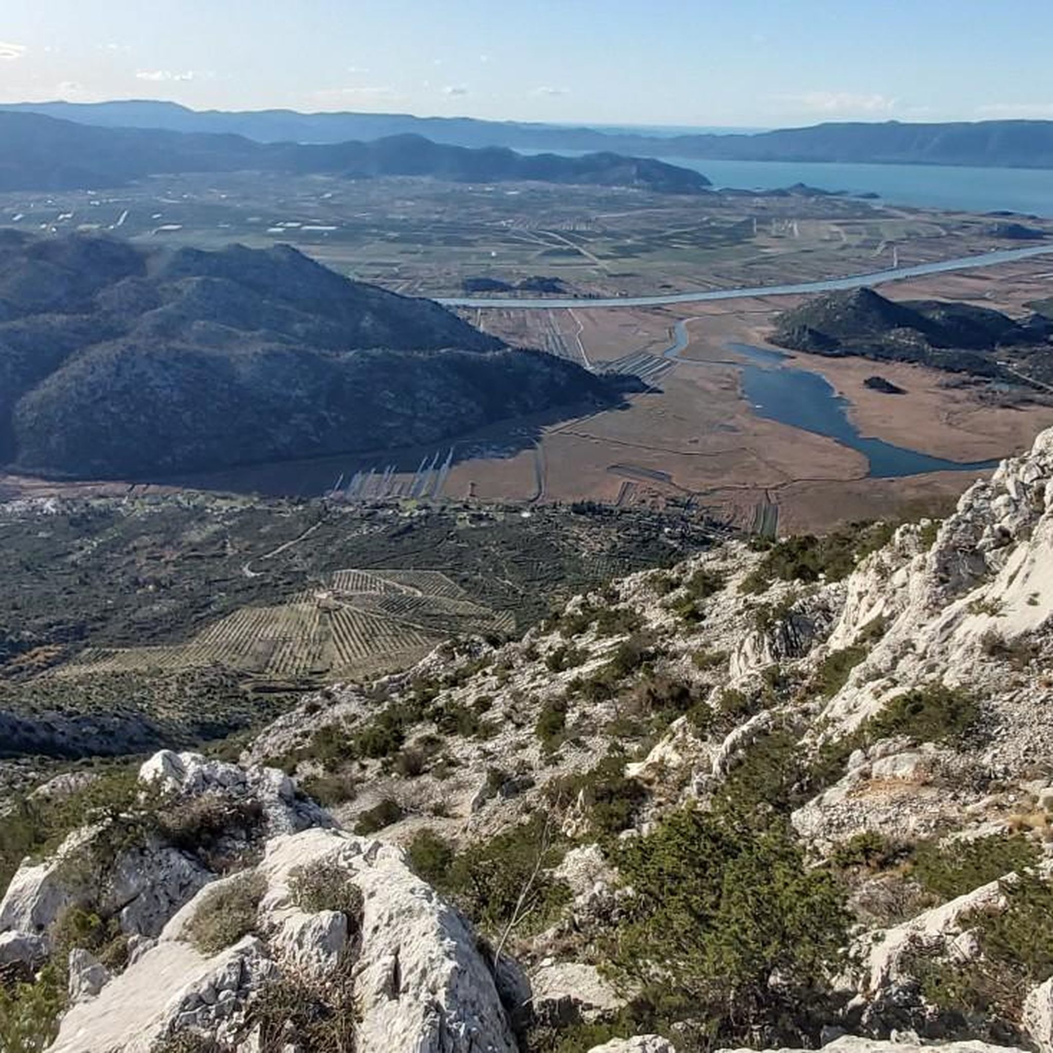
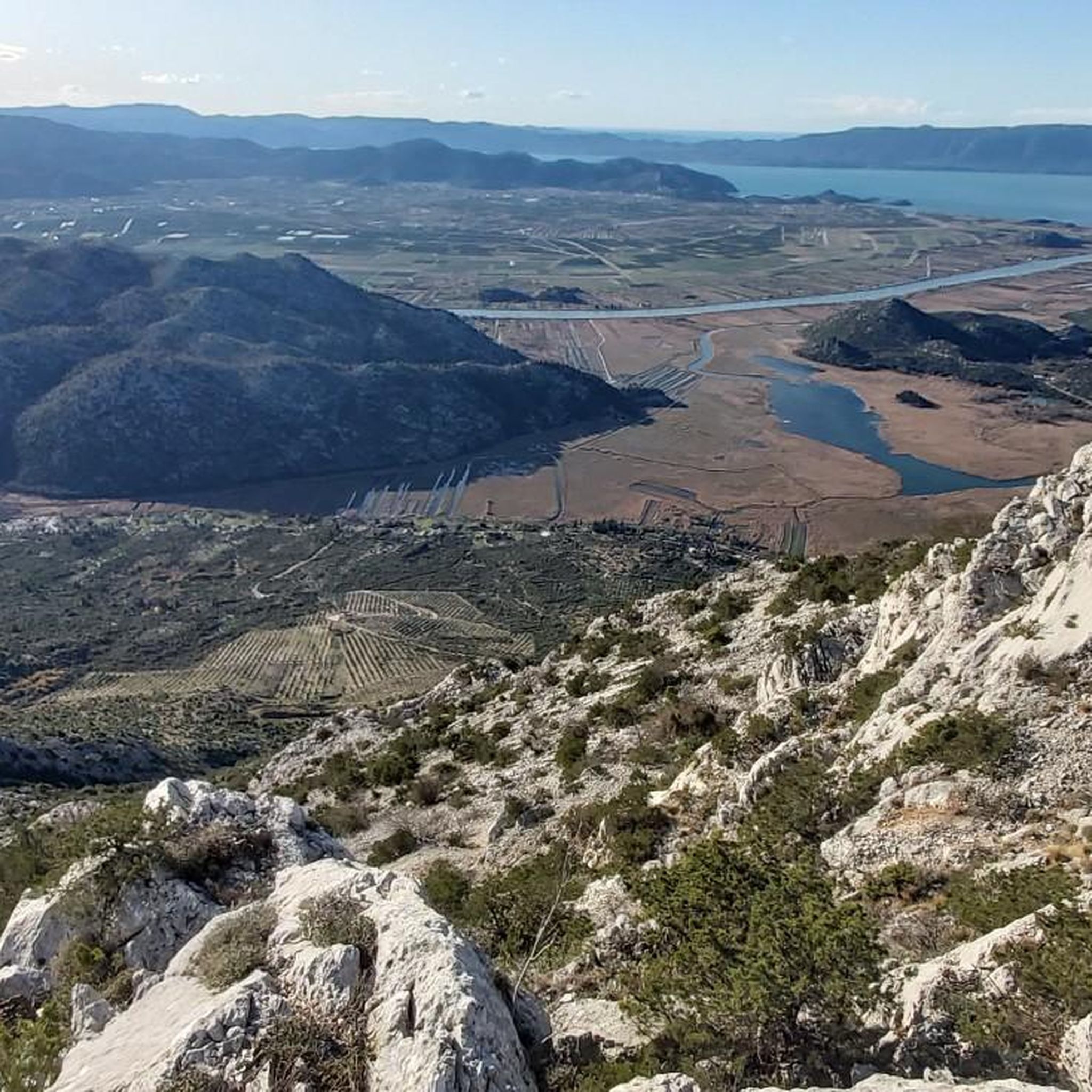
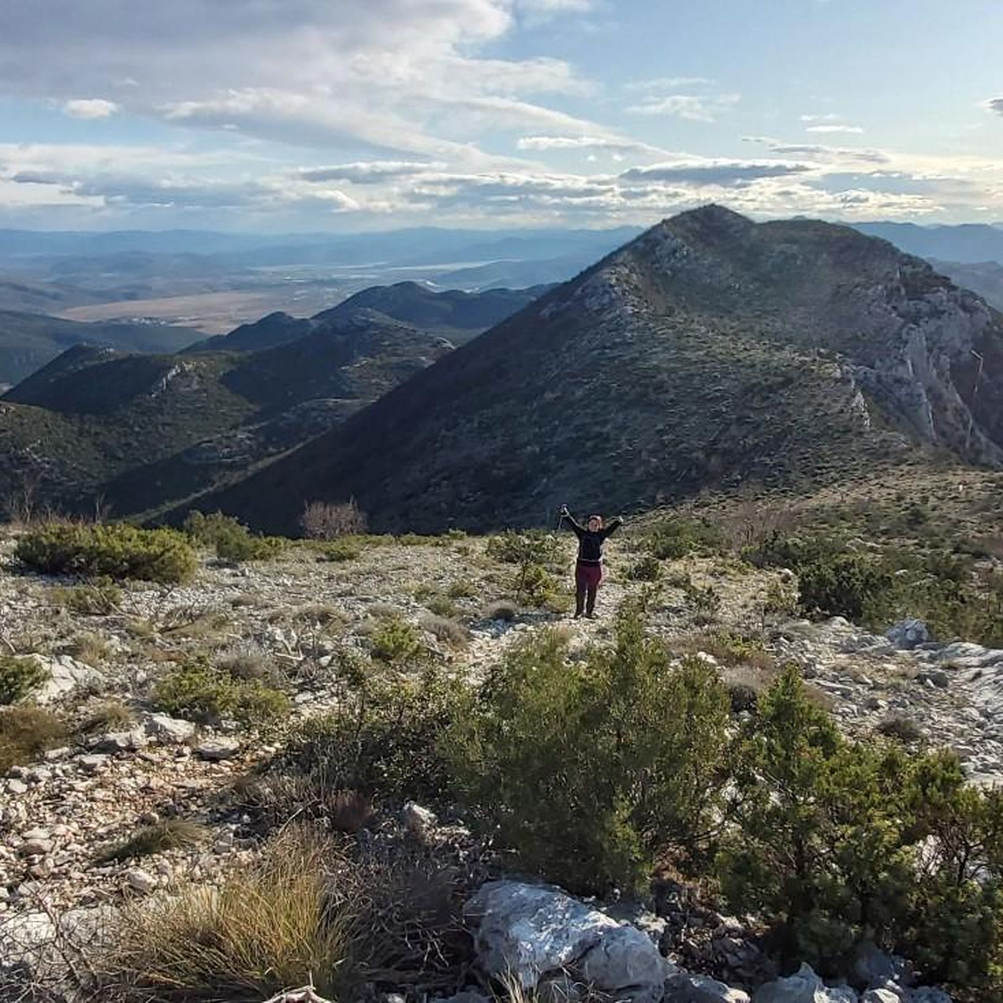
Tips from the Community

Caution! The wooden bridge over the river has been washed away! You can't cross to the other side! The riverbank is very slippery in places, but there are alternative routes.
1
0

You can walk over the old stone bridge to get very close to the small waterfalls
1
0

Here you can easily relax with a pleasant water temperature.
1
0
Very beautiful waterfalls. A true natural wonder. From the parking lot, you can either hike down the rather steep path to the falls or take a leisurely bus ride for a reasonable fee. Once at the bottom, you'll be treated to a magnificent view of the masses of water cascading into the circular lake. There are several dining options here.
2
0


Adults 20KM/Child (7-18) 10 KM (10/2024)
0
0

View of the port of Ploče and the offshore islands.
0
0
Frequently Asked Questions
Are there easy hiking trails suitable for beginners or families in Općina Kula Norinska?
Yes, the region offers 12 easy trails. For instance, the View of Kravica Waterfalls – View of the Waterfalls loop from Kravica Waterfall is an easy 1.9-mile (3.0 km) path. Another short and accessible option is the Kravica Waterfall Parking – View of the Waterfalls loop from Kravica Waterfall, which is only 0.8 miles (1.3 km) and takes about 24 minutes.
What is the typical duration of hikes in Općina Kula Norinska?
Hike durations vary significantly. Shorter, easy trails like the Kravica Waterfall Parking – View of the Waterfalls loop from Kravica Waterfall can be completed in under 30 minutes. Moderate routes, such as the View of Oćuša – Baćina Lakes loop from Ploče, typically take around 3 hours for 7 miles (11.2 km).
Are there any circular hiking routes in Općina Kula Norinska?
Yes, many trails in the region are circular, allowing you to start and end at the same point. Examples include the View of Oćuša – Baćina Lakes loop from Ploče, which offers views of the Baćina Lakes, and the View of Kravica Waterfalls – View of the Waterfalls loop from Kravica Waterfall.
What kind of natural attractions can I expect to see on hikes in Općina Kula Norinska?
The region is characterized by the Neretva River delta, scenic lakes, and coastal influences. Many trails, such as those around Kravica Waterfall, provide access to beautiful waterfalls. You can also find routes with lake views, like the View of Oćuša – Baćina Lakes loop from Ploče.
What do other hikers enjoy the most about hiking in Općina Kula Norinska?
The area is highly rated by the komoot community, with an average score of 4.3 stars from over 100 reviews. Hikers often praise the diverse landscape, including river delta paths, lake views, and the impressive Kravica Waterfalls. The variety of routes, from easy walks to moderate ascents, is also frequently highlighted.
Are there any hikes that lead to viewpoints or historical sites?
Yes, some trails offer ascents to viewpoints and historical sites. For example, the Babina Gomila Summit loop from Desne is a moderate 5.5-mile (8.8 km) hike with significant elevation gain, likely offering panoramic views. The Smrdan Grad Fortress loop from Klek also suggests a historical point of interest.
What is the best time of year to go hiking in Općina Kula Norinska?
While specific data isn't provided, given the region's coastal influences and river delta, spring and autumn generally offer the most pleasant hiking conditions with milder temperatures and less crowded trails. Summer can be hot, especially on exposed paths, while winter might bring cooler, potentially wetter weather.
Are there any hikes that specifically feature waterfalls?
Absolutely. The Kravica Waterfalls are a major attraction in the area. Trails like the View of Kravica Waterfalls – View of the Waterfalls loop from Kravica Waterfall and the View of the Waterfalls – View of the Trebižat River loop from Kravica Waterfall are designed to showcase these natural wonders.
How many hiking trails are available in Općina Kula Norinska?
There are 20 hiking trails available in Općina Kula Norinska, ranging from easy strolls to more challenging moderate routes.
Are there any longer, more challenging hikes for experienced hikers?
While there are no 'difficult' graded trails, several moderate routes offer a good challenge. The Babina Gomila Summit loop from Desne, at 5.5 miles (8.8 km) with nearly 600 meters of elevation gain, is one of the more strenuous options. Another longer moderate hike is the Kravica Waterfall – Mali Kravica Waterfall loop from Bent, covering 7.8 miles (12.6 km).
What kind of terrain can I expect on the hiking trails?
The terrain in Općina Kula Norinska is varied, characterized by river delta paths, trails around lakes, and routes leading to waterfalls. You'll find a mix of flat sections, especially near water bodies, and moderate ascents when heading towards viewpoints or higher ground.
Most popular routes around Općina Kula Norinska

Get inspired with the komoot mobile app


Explore more
Browse the best Hikes in other regions.
