The best road cycling routes around Gillersdorf
4.4
(88)
1,368
riders
56
rides
Road cycling routes around Gillersdorf are situated within the Ilm-Kreis district of Thuringia, Germany, offering diverse terrain for cyclists. The region is characterized by its location near the Thuringian Forest, a low mountain range featuring varied topography suitable for different cycling preferences. Elevated areas provide panoramic views, while valleys and natural features contribute to the scenic landscapes. This area presents a network of routes that cater to various road cycling experiences.
Best road cycling routes around Gillersdorf
- The most popular…
Last updated: July 9, 2026
4.5
(11)
192
riders
72.6km
03:46
960m
960m
Hard road ride. Very good fitness required. Some segments of this route may be unpaved and difficult to ride.
4.4
(12)
168
riders
45.5km
02:05
520m
520m
Moderate road ride. Good fitness required. Some segments of this route may be unpaved and difficult to ride.

Sign up for free
4.0
(3)
37
riders
31.0km
01:17
180m
180m
Moderate road ride. Great for any fitness level. Some segments of this route may be unpaved and difficult to ride.
5.0
(3)
34
riders
72.7km
03:13
720m
720m
Moderate road ride. Good fitness required. Mostly well-paved surfaces and easy to ride.
4.0
(4)
22
riders
Moderate road ride. Great for any fitness level. Some segments of this route may be unpaved and difficult to ride.
Get access to more routes and recommendations from other explorers.
Sign up for free
Already have an account?
Our route recommendations are based on thousands of hikes, rides, and runs completed by other people on komoot.
Start today with a free account
Your next adventure awaits.
Login or Signup
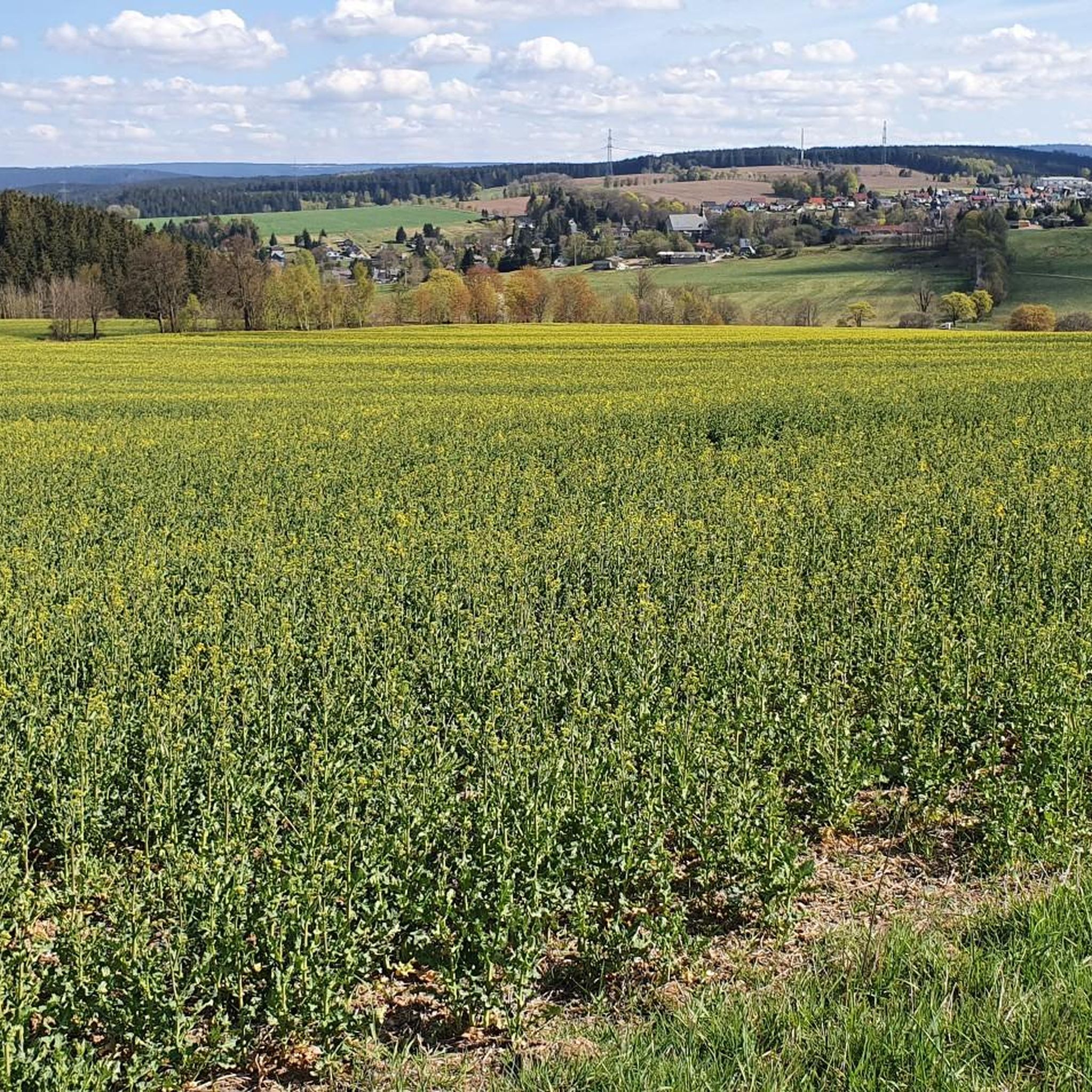
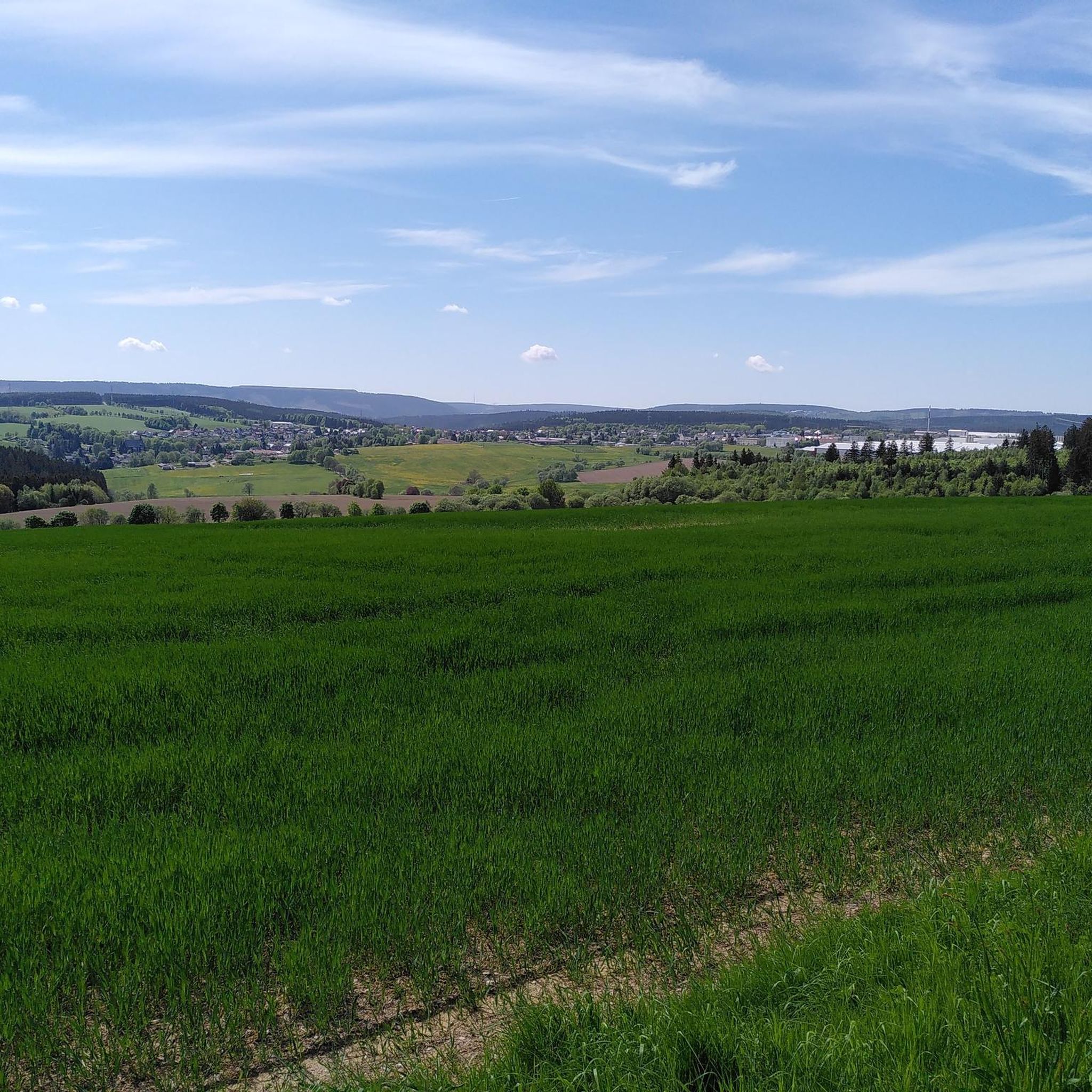
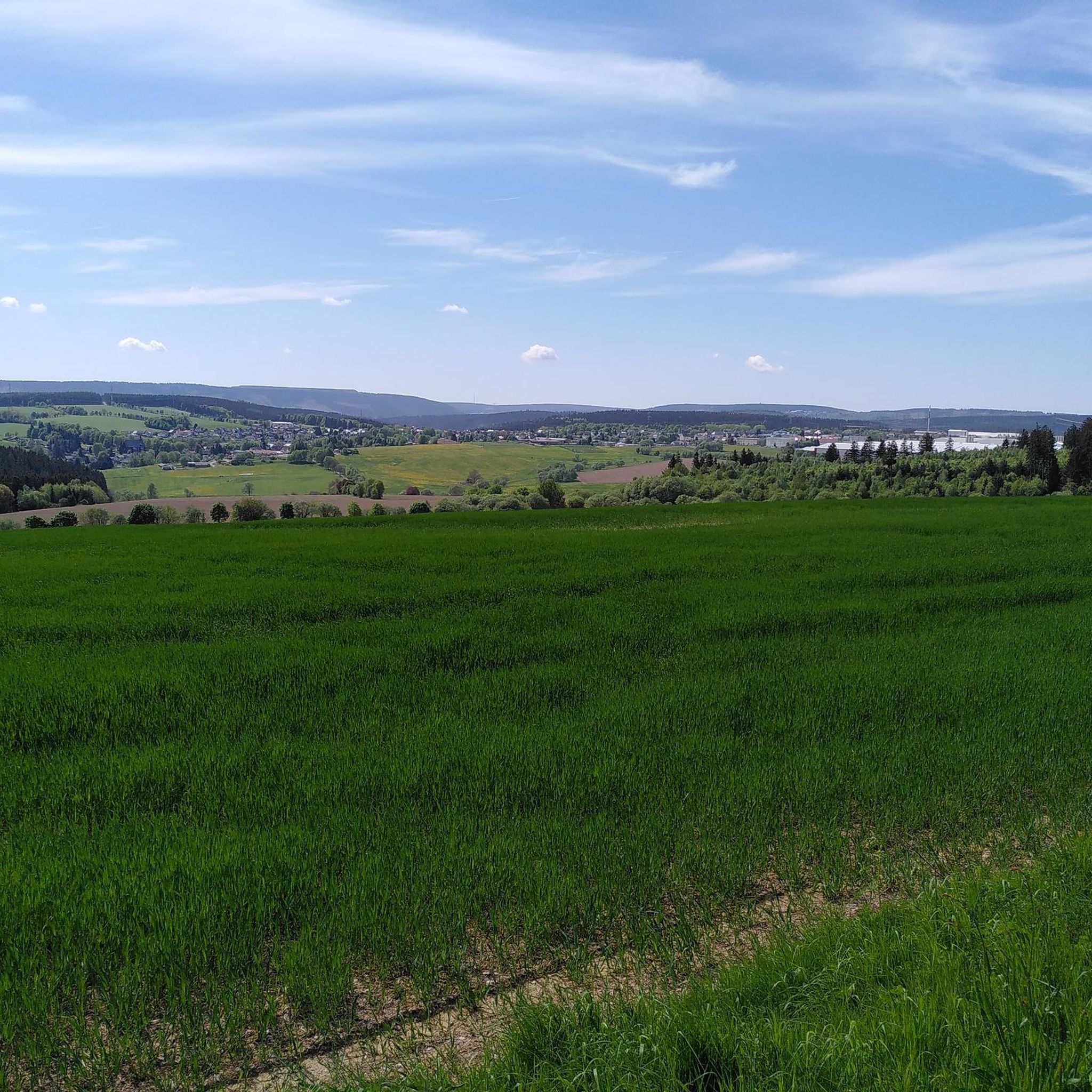
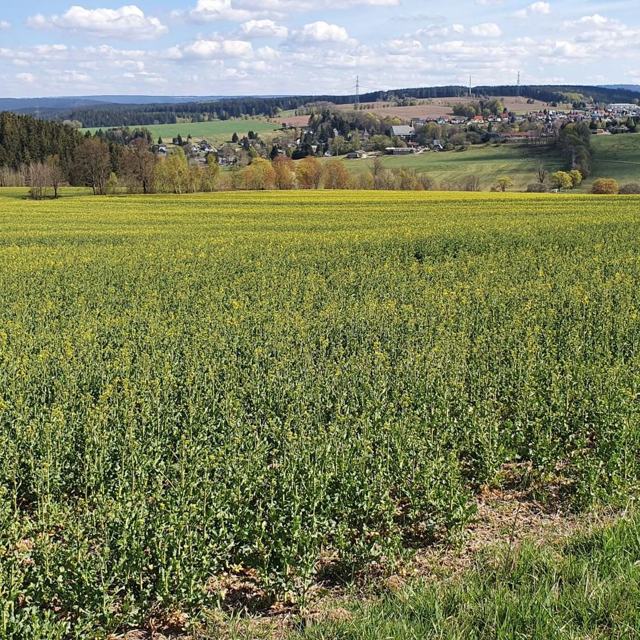
Tips from the Community

Relaxing for young and old and a joy for children
0
0

Nice climb! Low traffic and good tarmac
0
0

Comfortable pass ride with moderate gradients.
0
0
Comfortable pass ride, the gradient is kept well within limits.
0
0

Good footwear and surefootedness required.
0
0


Historic site. The first German Constitution was signed here in 1919
0
0
A wonderful valley leading up to the Rennsteig trail. Very pleasant for cycling.
0
0
Frequently Asked Questions
How many road cycling routes are available around Gillersdorf?
There are over 50 road cycling routes around Gillersdorf, offering a wide range of options for different skill levels and preferences. The region's diverse terrain, from challenging climbs to scenic valley rides, ensures a varied experience.
What kind of terrain can I expect when road cycling near Gillersdorf?
Road cycling around Gillersdorf is characterized by the Thuringian Forest, a low mountain range offering varied topography. You can expect a mix of rolling hills, rewarding climbs to elevated areas with panoramic views, and scenic routes through valleys. The region provides diverse landscapes suitable for different cycling preferences.
Are there challenging road cycling routes with significant elevation gain?
Yes, Gillersdorf offers several challenging road cycling routes. For instance, the Ilmenau–Langewiesen Cycle Path – Valley view from the Schmücke loop from Gehren is a difficult 72.2 km route with nearly 950 meters of elevation gain, providing expansive valley views and demanding ascents. Another difficult option is the Goldisthal Ramp – View of Scheibe-Alsbach loop from Großbreitenbach, which covers 50 km with over 950 meters of climbing.
Are there any moderate or beginner-friendly road cycling routes?
Yes, the region provides numerous moderate routes. The Ilmenau–Langewiesen Cycle Path – Rennsteig Station loop from Gehren is a moderate 45.2 km path featuring rolling terrain and passing by the historic Rennsteig Station. Another moderate option is the View of the Ilmtal Bridge – ICE Bridge near Langewiesen loop from Gehren, a 31.1 km trail through the Ilmtal valley.
What interesting landmarks or viewpoints can I see along the road cycling routes?
The region around Gillersdorf offers several notable landmarks and viewpoints. You can cycle past the impressive Meuselbacher Kuppe Observation Tower and Guesthouse, which provides magnificent panoramic views. The View of the Ilmtal Bridge – ICE Bridge near Langewiesen loop from Gehren route offers views of the longest bridge in Thuringia. Other highlights include the Vordere Haube Observation Tower and the Barigauer Turm Observation Tower.
Are there any natural features like gorges or waterfalls to explore?
Yes, the area features several natural gorges and even a waterfall. You can explore the Finsteres Loch Gorge, which includes the Finsteres Loch Wooden Bridge and Waterfall. Other scenic gorges in the vicinity include the Tannengrund Valley, Tannenbachtal, and Wohlrosetal, offering picturesque detours.
What do other road cyclists enjoy most about road cycling in Gillersdorf?
The road cycling routes around Gillersdorf are highly rated by the komoot community, with an average score of 4.6 stars from over 86 reviews. Cyclists often praise the varied terrain, the stunning panoramic views from elevated points, and the opportunity to explore the picturesque Thuringian Forest.
Are there circular road cycling routes available?
Many of the road cycling routes around Gillersdorf are designed as loops, allowing you to start and end at the same point. Examples include the Ilmenau–Langewiesen Cycle Path – Valley view from the Schmücke loop from Gehren and the Schwarzburg Castle – Schwarzatal Valley loop from Großbreitenbach, which is a moderate 72.7 km ride.
What is the best time of year for road biking in Gillersdorf?
The best time for road biking in Gillersdorf is generally from spring to autumn. During these seasons, the weather is typically more favorable, and the natural landscapes of the Thuringian Forest are at their most vibrant. Summer offers longer daylight hours, while spring and autumn provide pleasant temperatures and beautiful foliage.
Are there cafes or pubs along the road cycling routes for a break?
Yes, several observation towers in the region, such as the Meuselbacher Kuppe Observation Tower, feature guesthouses or cozy restaurants where you can take a break and refuel. The Fröbel Observation Tower also has an inn, providing opportunities for refreshments and rest during your ride.
Is there public transport access to the road cycling trailheads in Gillersdorf?
While specific public transport connections directly to all trailheads may vary, Gillersdorf is located in the Ilm-Kreis district, which has regional bus services. The Lichtenhain mountain station of the Thuringian mountain railroad could also serve as a unique point of interest and potential access point for certain routes, inviting a cozy stop.
Where can I find parking facilities for road bikers in Gillersdorf?
Parking facilities for road bikers are typically available in and around the villages and starting points of popular routes in the Gillersdorf area. It's advisable to check local signage or specific route descriptions for designated parking areas near your chosen trailhead.
Most popular attractions around Gillersdorf

Get inspired with the komoot mobile app


Explore more
Browse the best Road cycling routes in other regions.
